
付费
infiniteanalytics
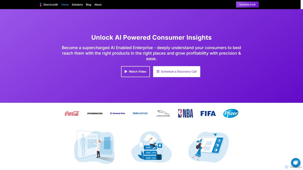
Infinite Analytics 提供 Sherlock AI,這是一個企業級平台,可提供深入的消費者洞察、行銷情報和位置分析。透過分析超過3.5億消費者的數據,它幫助企業了解其受眾,優化在Meta和Google等渠道的行銷活動,並為選址和零售戰略制定戰略決策。它專為數據驅動的增長和提高盈利能力而設計。
位置智能Visits 7.7KFavorites 153Likes 150
商業領域的位置智能熱門 AI 工具包括 nocodemapapp、infiniteanalytics 等,幫助您快速提升效率。
Infinite Analytics 提供 Sherlock AI,這是一個企業級平台,可提供深入的消費者洞察、行銷情報和位置分析。透過分析超過3.5億消費者的數據,它幫助企業了解其受眾,優化在Meta和Google等渠道的行銷活動,並為選址和零售戰略制定戰略決策。它專為數據驅動的增長和提高盈利能力而設計。
位置智能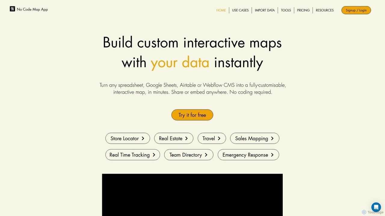
nocodemapapp 是一個由AI驅動的無代碼平台,可將電子表格、Google Sheets、Airtable或Webflow CMS中的數據即時轉換為完全可自訂的互動式地圖。在幾分鐘內創建商店定位器、房地產列表或銷售區域地圖。功能包括自動數據同步、熱力圖層和深度設計自訂。無需編碼,即可在任何地方共享或嵌入您的響應式地圖。
位置智能位置智能工具是一類利用AI技術分析地理空間數據以獲取可操作洞察的解決方案。這類工具將人工智能和機器學習與地理信息系統(GIS)相結合,處理海量的基於位置的數據。它們賦能企業和組織在選址、物流優化、客戶定位和城市規劃方面做出明智決策。透過識別空間模式和趨勢,位置智能提供預測性分析和實時洞察,以獲取戰略優勢。
位置智能對於依賴地理數據進行戰略決策的行業至關重要。零售商利用它進行門店選址和了解客流量,而物流公司則優化配送路線和車隊管理。城市規劃者利用這些工具進行基礎設施開發、交通管理和公共安全項目,從而提高城市效率和公民福祉。
選擇位置智能工具時,需考慮其數據集成能力,以處理各種地理空間數據源。評估其AI/ML模型的深度,以實現預測性和規範性分析。考察可視化和報告功能的質量,以便清晰呈現洞察。確保其可擴展性以管理大數據集,並符合GDPR或CCPA等數據隱私法規。
零售擴張經理需要為新店開業確定最有利可圖的地點。透過位置智能工具,他們分析人口統計數據、客流量模式、競爭對手分佈和當地消費習慣。AI模型預測不同地點的潛在銷售額和客戶覆蓋範圍,使經理能夠做出數據驅動的決策。這一過程顯著降低了選址不當的風險,並可將新店的初始盈利能力提高多達15%。
物流經理旨在優化車隊配送路線,以降低成本並提高效率。位置智能工具整合實時交通數據、天氣狀況和配送地址,動態調整路線。這確保了最快、最省油的路徑,最大限度地減少了空閒時間和延誤。公司可實現燃油成本降低10%,準時交付率提高20%,從而提升客戶滿意度。
營銷分析師希望根據客戶的位置和行為創建高度精準的營銷活動。位置智能工具根據客戶常去的地點、出行模式以及與興趣點的距離來細分客戶。這使得在客戶最容易接受時,透過移動或其他渠道提供個性化優惠成為可能。結果是營銷活動轉化率提高多達25%,並顯著減少營銷支出浪費,從而帶來更好的投資回報。
城市規劃者利用位置智能為新的公共交通路線或基礎設施項目提供決策依據。透過分析人口密度、通勤流量、現有基礎設施缺口和未來增長預測,這些工具幫助識別需求最大和潛在影響最大的區域。這有助於開發更高效、更便捷的城市服務,提高市民滿意度,並優化資源配置以實現城市可持續發展。
Real estate investors need to evaluate potential property investments for future value appreciation and rental yield. Location Intelligence tools assess property values based on proximity to amenities, school districts, crime rates, economic development zones, and historical price trends. By integrating and analyzing these diverse spatial factors, investors can identify high-potential investment properties, mitigate risks, and maximize their return on investment by making more informed purchasing decisions.
Emergency services coordinators need to optimize the deployment of resources during crises. Location Intelligence tools provide real-time incident location data, traffic conditions, and available resource positions to dispatch the closest and most appropriate units. This capability is critical for effective disaster management, public safety, and rapid response. It can reduce response times by 15% and significantly improve overall incident management efficiency, potentially saving lives and minimizing damage.
位置智能是一種由AI驅動的方法,透過分析地理空間數據來提供可操作的商業洞察。它將GIS技術與先進的AI和機器學習算法相結合,處理和解釋來自GPS、移動設備和傳感器等各種來源的基於位置的信息。這使組織能夠理解空間模式、預測趨勢,並在從零售選址到城市規劃的各種應用中做出更明智的決策。
AI significantly enhances Location Intelligence by moving beyond traditional mapping and data visualization. AI and machine learning algorithms enable predictive analytics, allowing tools to forecast future trends like foot traffic or sales potential. They facilitate advanced pattern recognition, anomaly detection, and automated processing of vast, complex geospatial datasets. This transforms raw location data into deeper, forward-looking, and actionable insights, providing a strategic edge for businesses and urban planners.
The key benefits of Location Intelligence tools include improved decision-making through data-driven insights, leading to optimized site selection for businesses and more efficient urban planning. They enhance customer understanding by revealing movement patterns and preferences, enabling highly targeted marketing. Furthermore, these tools facilitate optimized resource allocation in logistics and emergency services, mitigate risks by identifying vulnerable areas, and provide a significant competitive advantage by leveraging spatial insights for strategic growth and operational efficiency.
A wide range of professionals and organizations can benefit from Location Intelligence tools. This includes retail and real estate developers for site selection, logistics and supply chain managers for route optimization, and marketing teams for targeted campaigns. Urban planners and government agencies utilize them for smart city initiatives and public safety. Additionally, emergency services, financial institutions, and even healthcare providers can leverage spatial insights for better resource deployment, risk assessment, and service delivery planning.
Traditional Geographic Information Systems (GIS) primarily focus on mapping, storing, and visualizing spatial data. They are excellent for creating maps, managing geographic databases, and performing basic spatial queries. Location Intelligence, while built upon GIS foundations, integrates advanced AI and machine learning to add a layer of sophisticated analytics. It goes beyond 'what is where' to 'why it's there' and 'what will happen next,' offering predictive modeling, real-time insights, and prescriptive recommendations to solve complex business and urban challenges, transforming raw data into strategic foresight.