ToolMage
Connexion
Maplytics
Renseignement géospatial · 756.5K visites mensuelles

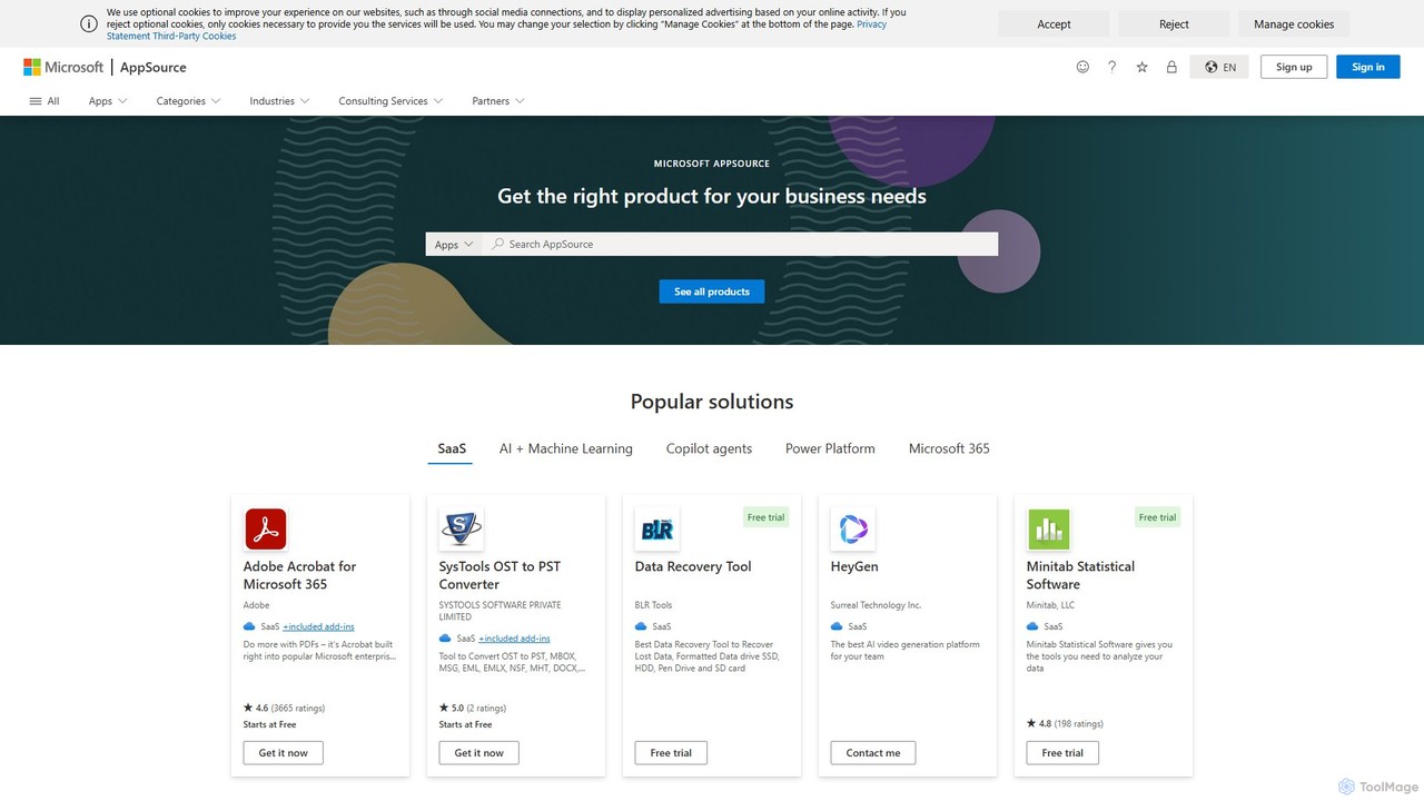
Maplytics est une application de cartographie géo-analytique certifiée qui intègre Azure ou Bing Maps avec Microsoft Dynamics 365 et Power Platform. Elle fournit de puissantes fonctionnalités d'intelligence de localisation comme l'optimisation d'itinéraires, la gestion de territoires, la recherche par rayon et les cartes de chaleur pour améliorer les opérations de vente, de service et de marketing, permettant des décisions basées sur les données et augmentant le ROI.
VS
Satlas
Géospatial · 2.1K visites mensuelles

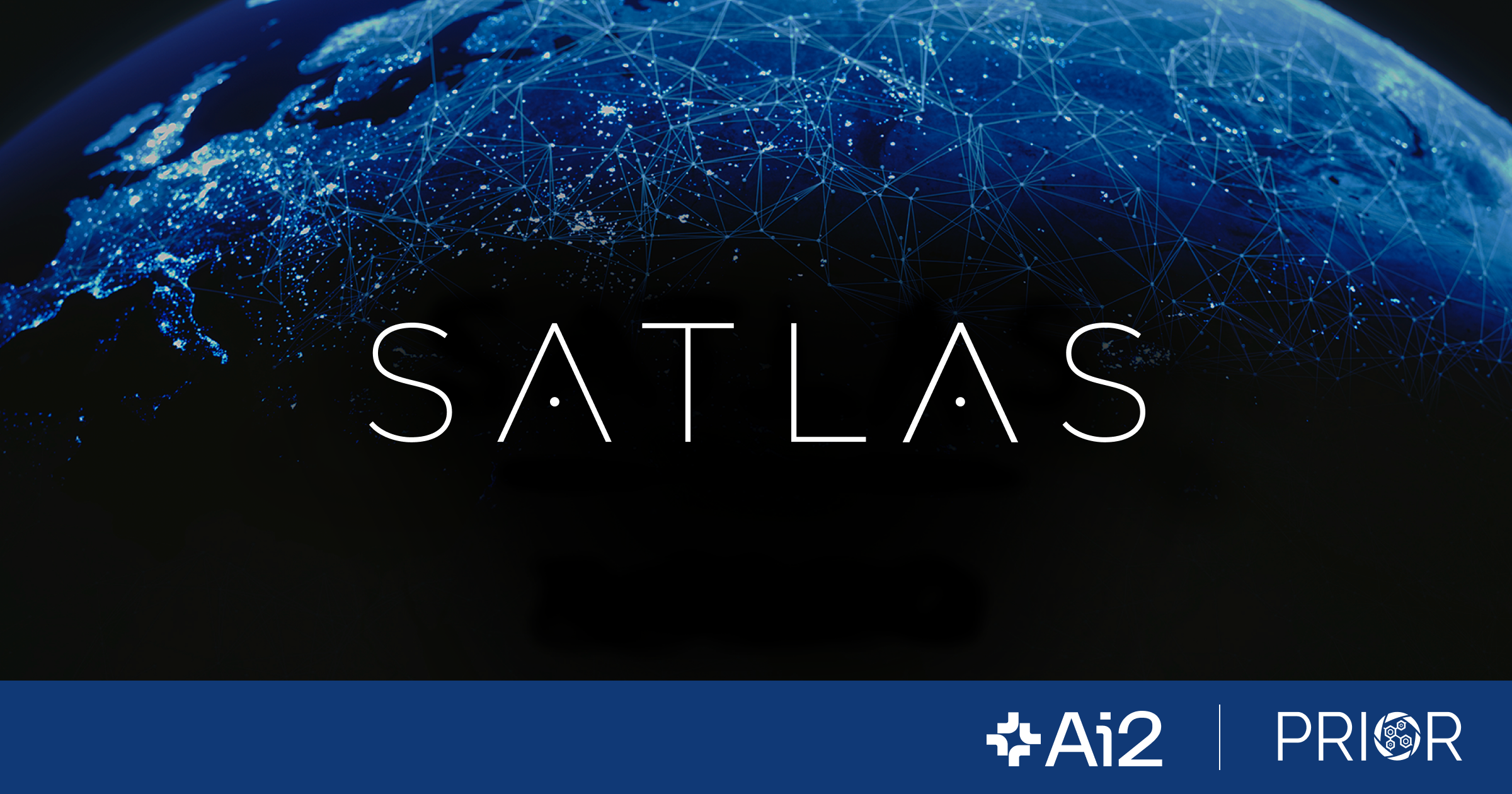
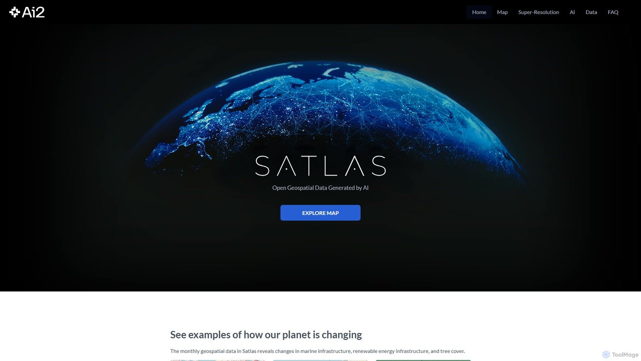
Satlas est une plateforme alimentée par l'IA de l'Allen Institute for AI qui fournit des données géospatiales ouvertes et à haute résolution. Elle utilise des modèles avancés de vision par ordinateur pour analyser l'imagerie satellitaire mondiale, suivant les changements de la couverture forestière, des énergies renouvelables et des infrastructures marines. Sa fonctionnalité clé est la Super-Résolution, qui améliore les images à basse résolution pour une analyse détaillée.

Maplytics vs Satlas : prix, fonctions et trafic

Comparez Maplytics et Satlas selon leur positionnement, prix, fonctions, trafic et avis.

Mis à jour 5 août 2026

Aperçu du produit

Maplytics Aperçu du produit

Maplytics est une application de cartographie géo-analytique certifiée qui intègre Azure ou Bing Maps avec Microsoft Dynamics 365 et Power Platform. Elle fournit de puissantes fonctionnalités d'intelligence de localisation comme l'optimisation d'itinéraires, la gestion de territoires, la recherche par rayon et les cartes de chaleur pour améliorer les opérations de vente, de service et de marketing, permettant des décisions basées sur les données et augmentant le ROI.
Preview

Satlas Aperçu du produit

Satlas est une plateforme alimentée par l'IA de l'Allen Institute for AI qui fournit des données géospatiales ouvertes et à haute résolution. Elle utilise des modèles avancés de vision par ordinateur pour analyser l'imagerie satellitaire mondiale, suivant les changements de la couverture forestière, des énergies renouvelables et des infrastructures marines. Sa fonctionnalité clé est la Super-Résolution, qui améliore les images à basse résolution pour une analyse détaillée.

Preview

Detailed feature comparison

FeatureMaplyticsSatlas
Catégorie principaleRenseignement géospatialGéospatial
Ajouté2025-08-162025-08-03
TarificationFreemiumGratuit
Site officielappsource.microsoft.comsatlas.allen.ai
Type de produitApplicationSite web
Performance data
Note utilisateurNon vérifiéNon vérifié
Commentaires00
Visites mensuelles756.5K2.1K
Croissance mensuelle2.6%20.1%
Favoris14190
DetailsVoir les détailsVoir les détails

Maplytics vs Satlas monthly traffic

Compare Maplytics and Satlas by monthly reach, traffic trend, visit depth, top regions, and acquisition sources.

How to interpret the traffic data

In the Maplytics vs Satlas monthly traffic comparison, Maplytics currently shows 756.5K visits and Satlas shows 2.1K; Maplytics has about 354.7 times the visible traffic of Satlas, an absolute difference of about 754.4K visits. This reflects visible reach, not feature quality or paid users.

Both tools provide verified traffic details, so monthly trends, visit depth, regions, and acquisition sources can be compared on the same basis.

Maplytics is registered at the appsource.microsoft.com/en-us subpage. Because the current data does not state whether other host pages are excluded, treat this as domain-level context rather than independent traffic for one product or project.

Maplytics monthly traffic:

Latest traffic

Visites mensuelles
756.5K
Durée moyenne
0:13
Pages par visite
2.03
Taux de rebond
58.18%
Data updated 2026-06-15

Monthly traffic trend

  • 2026/1: 738.7K Visites mensuelles
  • 2026/2: 659.7K Visites mensuelles
  • 2026/3: 783.3K Visites mensuelles
  • 2026/4: 737.1K Visites mensuelles
  • 2026/5: 756.5K Visites mensuelles

Principales régions

Top 5 countries/regions
Country/regionPercentageTraffic
🇺🇸United States35.23%266.5K
🇮🇳India27.05%204.6K
🇫🇷France14.23%107.7K
🇮🇩Indonesia14.16%107.1K
🇵🇪Peru9.33%70.6K

Mots-clés

appsourcefast people searchfastpeoplesearchmicrosoft appsourcenoun project

Satlas monthly traffic:

Latest traffic

Visites mensuelles
2.1K
Durée moyenne
1:17
Pages par visite
50.16
Taux de rebond
76.71%
Data updated 2026-06-15

Monthly traffic trend

  • 2025/9: 1.8K Visites mensuelles
  • 2026/1: 1.6K Visites mensuelles
  • 2026/2: 1.5K Visites mensuelles
  • 2026/3: 2.5K Visites mensuelles
  • 2026/4: 1.8K Visites mensuelles
  • 2026/5: 2.1K Visites mensuelles

Principales régions

Top 5 countries/regions
Country/regionPercentageTraffic
🇺🇸United States59.08%1.3K
🇮🇳India12.25%261
🇩🇪Germany11.22%239
🇮🇹Italy9.24%197
🇦🇪United Arab Emirates8.21%175

Sources de trafic

Source typePercentageTraffic
Direct66.72%1.4K
Référence33.28%710

Mots-clés

alan satelliteallen aisatlassuper resolutionsuper resolution ai
Traffic-based selection guidance: Maplytics is registered under a appsource.microsoft.com subpath, so its large visible total may include the host platform. The current data does not justify choosing Maplytics for traffic alone; shortlist by unique taxonomy and use case, then validate with the same tasks.

Usage comparison

Compare the core capabilities of Maplytics and Satlas

Maplytics Core features

Cartographie
Renseignement géospatial
Gestion des Services sur le Terrain
Gestion de Territoires

Satlas Core features

Cartographie
Géospatial
Science

Use cases

Maplytics Use cases

Mappage
Azure Cartes
Bing Cartes
CRM
Dynamics 365
Service sur site
géospatial
Intelligence de localisation
Power Apps
Optimisation d'itinéraire
Automatisation des ventes
gestion de territoire

Satlas Use cases

Mappage
IA
Institut Allen pour l'IA
Changement climatique
vision par ordinateur
visualisation de données
surveillance environnementale
Données géospatiales
données ouvertes
Images satellite
Super-résolution

Maplytics vs Satlas:In-depth comparison and selection guidance

First decide whether the products solve the same kind of need

This in-depth Maplytics vs Satlas comparison uses only the product records, taxonomy, audience, traffic, and community signals available on this page. Maplytics is primarily listed under “Renseignement géospatial”, while Satlas is primarily listed under “Géospatial”, so the first decision is whether your actual task matches their recorded scope.

The structured fields currently show these decision-relevant differences: Primary category (Maplytics: Renseignement géospatial; Satlas: Géospatial); Product type (Maplytics: App; Satlas: Website); Pricing (Maplytics: Freemium; Satlas: Free); Monthly visits (Maplytics: 756.5K; Satlas: 2.1K); Monthly growth (Maplytics: 2.6%; Satlas: 20.1%). These facts are more useful for selection than brand visibility alone.

What market visibility and monthly traffic mean

In the Maplytics vs Satlas monthly traffic comparison, Maplytics currently shows 756.5K visits and Satlas shows 2.1K; Maplytics has about 354.7 times the visible traffic of Satlas, an absolute difference of about 754.4K visits. This reflects visible reach, not feature quality or paid users.

Both tools provide verified traffic details, so monthly trends, visit depth, regions, and acquisition sources can be compared on the same basis.

Maplytics is registered at the appsource.microsoft.com/en-us subpage. Because the current data does not state whether other host pages are excluded, treat this as domain-level context rather than independent traffic for one product or project.

Maplytics is registered under a appsource.microsoft.com subpath, so its large visible total may include the host platform. The current data does not justify choosing Maplytics for traffic alone; shortlist by unique taxonomy and use case, then validate with the same tasks.

Product positioning, use cases, and roles

Maplytics and Satlas currently overlap in shared categories: Cartographie; shared tags: Mappage. This can place both on the same shortlist, but it does not prove equal implementation, depth, or cost.

Maplytics's unique categories/tags are Renseignement géospatial, Gestion des Services sur le Terrain, Gestion de Territoires, Azure Cartes, Bing Cartes, CRM, Dynamics 365 et Service sur site; Satlas's are Géospatial, Science, IA, Institut Allen pour l'IA, Changement climatique, vision par ordinateur, visualisation de données et surveillance environnementale. These unique fields are the strongest differentiators: validate the product whose recorded scope matches the task instead of following traffic alone.

What ratings, comments, and favorites can tell you

Maplytics has no verified rating, 0 comments, 141 favorites, and 140 likes;Satlas has no verified rating, 0 comments, 90 favorites, and 96 likes。

Neither product has enough rating or comment samples for a credible reputation ranking.

Selection guidance by actual need

When to evaluate Maplytics first

Put Maplytics on the priority trial list when the task aligns with “Renseignement géospatial” and especially Renseignement géospatial, Gestion des Services sur le Terrain, Gestion de Territoires, Azure Cartes, Bing Cartes et CRM. This follows recorded positioning and does not imply unlisted capabilities are absent.

Maplytics also currently records: pricing is freemium, product type is app, 756.5K monthly visits shown for the registered host (subpage scope unknown), no verified user rating. Verify any hard requirement around price, platform, or reach before trial, and do not let sparse review data substitute for testing.

When to evaluate Satlas first

Put Satlas on the priority trial list when the task aligns with “Géospatial” and especially Géospatial, Science, IA, Institut Allen pour l'IA, Changement climatique et vision par ordinateur. This follows recorded positioning and does not imply unlisted capabilities are absent.

Satlas also currently records: pricing is free, product type is website, 2.1K verified monthly visits, no verified user rating. Verify any hard requirement around price, platform, or reach before trial, and do not let sparse review data substitute for testing.

How to validate the recommendation before deciding

The available data describes positioning, public visibility, and community signals, but it cannot prove output quality, speed, integration effort, privacy, or long-term cost in your workflow. Before deciding, run the same representative tasks in Maplytics and Satlas, then record completion time, accuracy, manual corrections, and the real paid threshold. A like-for-like trial turns this comparison into a defensible adoption decision.

FAQ comparative

How should I choose between Maplytics and Satlas?
Compare positioning, pricing, taxonomy, and traffic maturity, then verify the latest details on each official website.
Where does this comparison data come from?
The factual baseline is derived from product, taxonomy, traffic, and community data. Reviewed editorial conclusions show their source and verification date.
What do unknown fields mean?
Unknown means there is not enough reliable evidence; the page does not fill gaps with assumptions.