Archistar
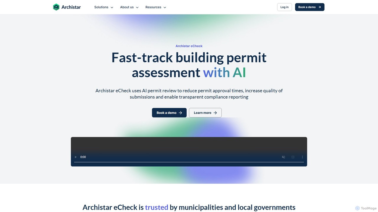
Archistar is an AI-powered platform designed to automate and accelerate building permit assessments. It uses AI, computer vision, …
Archistar is an AI-powered platform designed to automate and accelerate building permit assessments. It uses AI, computer vision, and machine learning to check building designs against local codes, reducing approval times by up to 90%. The platform serves both government bodies and property industry professionals like architects and developers, ensuring compliance and improving submission quality.
About Urban Planning
AI Urban Planning tools are a specialized class of software that leverages machine learning, simulation, and data analysis to design, manage, and optimize urban environments. These tools process vast datasets, including geospatial information, demographic statistics, and traffic patterns, to generate predictive models and data-driven insights. They empower city planners, architects, and policymakers to create more sustainable, efficient, and equitable cities by simulating the impact of development projects and policy changes before implementation. This approach moves beyond traditional mapping to offer predictive and prescriptive guidance for future urban growth.
Core Features
- Predictive Simulation: Models future scenarios for traffic flow, population growth, and resource consumption based on various inputs.
- Generative Design: Automatically generates multiple urban layout options that satisfy predefined constraints like green space quotas, density targets, and accessibility.
- Geospatial Data Analysis: Processes satellite imagery, GIS data, and IoT sensor feeds to analyze land use, environmental quality, and infrastructure performance.
- Policy Impact Assessment: Simulates the potential social, economic, and environmental effects of new zoning laws or transportation policies.
- Infrastructure Optimization: Identifies optimal locations for public facilities such as schools, hospitals, and transit stations based on accessibility and demand.
Use Cases
These tools are primarily used by municipal governments, urban planning consultancies, real estate developers, and architectural firms. Common applications include master planning for new city districts, optimizing public transportation networks, conducting environmental impact assessments for large-scale projects, and planning for climate change adaptation by modeling risks like flooding or heat islands.
How to Choose
When selecting an AI Urban Planning tool, consider its data integration capabilities, particularly with existing GIS and census databases. Evaluate the accuracy and customization options of its simulation models. Assess the quality of its visualization features (e.g., 2D/3D rendering) for stakeholder communication. Finally, consider the tool's scalability to handle city-wide datasets and the level of technical support provided.
Urban PlanningUse Cases
Optimizing Urban Traffic Flow
A city's transportation department is tasked with reducing chronic traffic congestion in the downtown core. Using an AI urban planning tool, planners input historical traffic data, road network information, and projected population growth. The AI runs thousands of simulations to model traffic flow under different scenarios, such as adjusting traffic light timings, implementing one-way streets, or adding a new bus lane. The tool's visualization features generate heatmaps showing congestion hotspots and charts predicting changes in average commute times. Based on these data-driven insights, the department implements a dynamic signal timing plan, resulting in a projected 15% reduction in peak-hour congestion.
Land Use Suitability Analysis
A regional planning authority needs to identify suitable areas for a new sustainable residential development. They use an AI planning tool to analyze multiple layers of geospatial data, including topography, flood risk zones, proximity to public transport, soil quality, and protected ecological areas. The AI model assigns a suitability score to each parcel of land based on these weighted criteria. The output is an interactive map highlighting the top 10% most suitable locations, allowing planners to quickly shortlist sites that balance development needs with environmental protection. This process reduces the initial site selection time from months to a few days.
Generative Design for a New Urban District
An architecture firm wins a contract to design a new mixed-use district. Instead of manually drafting a few options, they use a generative design tool. They input key parameters and constraints: a minimum of 30% green space, a target housing density, maximum building heights, and optimized solar access for all residential units. The AI algorithm generates hundreds of viable layout variations in a matter of hours, each with a unique configuration of buildings, parks, and streets. The design team can then explore these options in 3D, filter them based on performance metrics (e.g., walkability score, energy efficiency), and select the most promising concepts for further refinement.
Assessing Environmental Impact of New Infrastructure
An environmental consulting firm is hired to assess the impact of a proposed new highway. They use an AI planning tool to model its effects on the local environment. By integrating data on air quality, noise levels, wildlife habitats, and water runoff patterns, the tool simulates the pre- and post-construction scenarios. The AI predicts a 12% increase in air pollutants in adjacent residential areas and identifies a critical wildlife corridor that would be disrupted. The report, supported by clear visualizations from the tool, allows policymakers to demand mitigation measures, such as the construction of noise barriers and a wildlife overpass, before approving the project.
Planning for Climate Change Adaptation
A coastal city facing rising sea levels uses an AI planning tool to model future flood risks. Planners combine climate projection data with the city's detailed topographical and infrastructure maps. The AI simulates various sea-level rise scenarios for the years 2050 and 2100, generating high-resolution maps that pinpoint vulnerable areas, including critical infrastructure like hospitals and power substations. The tool also models the effectiveness of different adaptation strategies, such as building seawalls or creating green infrastructure like wetlands. This allows the city to prioritize investments in the most effective and cost-efficient protective measures for its most at-risk communities.
Optimizing Public Service Placement
A rapidly growing municipality needs to decide where to build two new fire stations to maintain optimal emergency response times. Using an AI planning tool, they input data on population density, existing road networks, traffic patterns by time of day, and current station locations. The AI analyzes millions of potential location combinations and calculates the projected average response time for each scenario across the entire city. The output identifies two optimal locations that would reduce the city-wide average response time by 45 seconds and ensure 95% of the population is within a 5-minute response radius, providing a clear, data-backed justification for the site selection.