SafeWaters.ai
SafeWaters.ai is an AI-powered application that provides real-time shark risk forecasts to enhance ocean safety. By analyzing vast …
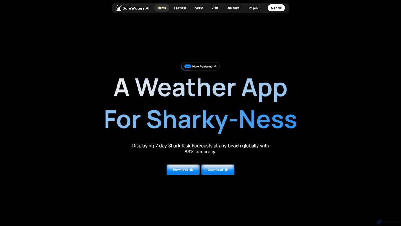
SafeWaters.ai is an AI-powered application that provides real-time shark risk forecasts to enhance ocean safety. By analyzing vast datasets, it helps surfers, swimmers, and beachgoers make informed decisions, reducing unintended encounters with marine life. The platform aims to create a safer coexistence between humans and sharks through advanced technology.
About Outdoor Safety
AI Outdoor Safety tools are a specialized category of applications and devices that use artificial intelligence to enhance personal security during outdoor activities. These tools analyze real-time data from GPS, weather satellites, and terrain maps to predict potential hazards and provide proactive alerts. Their primary value is shifting safety from a reactive response to proactive risk management, empowering hikers, skiers, and adventurers to make informed decisions. By leveraging machine learning, they can identify dangerous patterns, suggest safer routes, and even automatically detect accidents.
Core Features
- Predictive Hazard Alerts: Analyzes weather and environmental data to warn users of impending risks like flash floods, avalanches, or wildfires.
- Intelligent Route Planning: Suggests the safest routes based on terrain difficulty, weather conditions, and the user's fitness level.
- Automatic Incident Detection: Uses smartphone or wearable sensors to detect falls or prolonged inactivity, automatically sending an SOS to emergency contacts.
- Wildlife Identification & Avoidance: Employs computer vision to identify potentially dangerous animals from a distance, providing alerts and safety advice.
- Offline Geofencing & Tracking: Creates virtual safety zones and provides reliable tracking even without a cellular signal, crucial for remote areas.
Use Cases
These tools are essential for individuals and groups engaged in high-risk or remote outdoor activities. For instance, backcountry skiers use them for real-time avalanche risk assessment, while solo hikers rely on automatic incident detection for peace of mind. Marine navigators use AI to predict dangerous wave patterns, and families use geofencing to keep children safe at campsites.
How to Choose
When selecting an AI Outdoor Safety tool, first consider the specific activities you'll be doing, as some apps are specialized for hiking, skiing, or boating. Evaluate the tool's offline capabilities, as connectivity is often limited in the wild. Also, assess its battery consumption, integration with emergency services (like GARMIN inReach), and the reliability of its data sources and alert systems.
Outdoor SafetyUse Cases
Real-time Avalanche Risk Assessment for Skiers
A backcountry skier plans a trip in a mountainous region known for unstable snow conditions. Using an AI Outdoor Safety app, they input their planned route. The AI analyzes multiple data layers in real-time: recent snowfall, wind speed and direction, temperature gradients in the snowpack, and the slope angles of the terrain. It then generates a color-coded risk map for their route, highlighting specific areas with high avalanche probability. This allows the skier to adjust their path to avoid dangerous slopes, significantly reducing the risk of being caught in an avalanche and turning a potentially fatal trip into a safe adventure.
Automated SOS for a Solo Hiker's Fall
A solo hiker is exploring a remote trail with poor cell reception. Their AI safety app, running in a low-power mode, uses the phone's accelerometer and gyroscope to monitor movement patterns. When the hiker slips and falls, sustaining an injury that renders them unable to move, the app detects the sudden impact followed by prolonged inactivity. After a 60-second countdown with no response from the hiker, the app automatically activates a pre-configured SOS message. It transmits their precise GPS coordinates via a satellite communication feature to their emergency contacts and local rescue services, ensuring help is dispatched quickly even without manual intervention.
Predictive Wildfire Alerts for Campers
A family is camping in a national forest during a dry season. Their AI safety tool continuously monitors data from local weather stations, satellite heat maps, and wind pattern models. The AI detects a new wildfire starting several miles away and, based on its predictive algorithm, calculates that the fire's probable path, driven by shifting winds, will endanger their campsite within the next three hours. The app sends a critical alert to the family's phones with an evacuation notice and a map showing the safest route out of the area, giving them ample time to pack up and leave before the access roads are compromised.
Safe Marine Navigation for Kayakers
A kayaker is planning a coastal trip. They use an AI navigation tool that integrates marine charts with real-time weather and tide data. The AI model analyzes the forecast for wind speed, wave height, and strong currents. It then plots a route that avoids areas predicted to have hazardous conditions, such as rip currents or sudden squalls. During the trip, the app provides real-time audio alerts if conditions change unexpectedly or if the kayaker deviates towards a known hazard like a submerged rock, allowing them to navigate complex coastal waters with a much higher degree of safety.
Child Safety Geofencing at a Campsite
Parents at a large, wooded campsite use an AI safety app to create a virtual perimeter, or geofence, around their immediate camping area. They equip their young child with a small, wearable GPS tracker linked to the app. The AI learns the typical patterns of movement within the safe zone. If the child wanders beyond the designated boundary, the app instantly sends a loud alert to the parents' smartphones. The alert includes the child's real-time location on a map, allowing the parents to quickly locate them before they can wander further into the woods or towards a potential hazard like a river.
Wildlife Identification for Trail Safety
A trail runner in an area known for bears and mountain lions uses an AI tool integrated with their phone's camera. While running, they hear a noise in the bushes ahead. They point their phone camera in that direction. The AI's computer vision model analyzes the image in real-time and identifies the animal as a black bear. The app immediately displays a non-intrusive overlay with crucial safety information: 'Black Bear Detected. Do not run. Make yourself look large and back away slowly.' This instant, context-aware advice helps the runner react appropriately, preventing a potentially dangerous encounter from escalating.