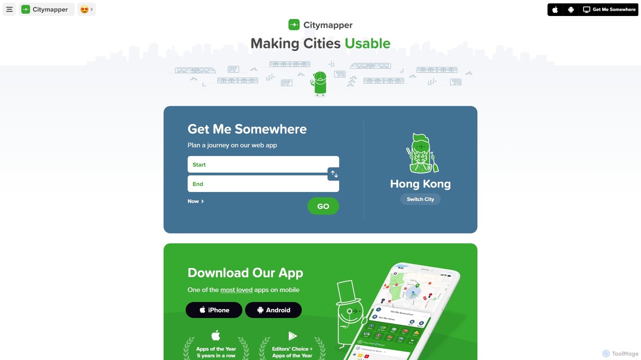
Citymapper
Citymapper is the ultimate AI-powered urban transport app that simplifies city navigation. It integrates all modes of transport—public …
Citymapper is the ultimate AI-powered urban transport app that simplifies city navigation. It integrates all modes of transport—public transit, cycling, scooters, and walking—into one platform, offering real-time data, smart route planning, and turn-by-turn navigation to make cities more usable.
About Location
AI Location tools are a specialized category of software that uses machine learning to analyze, interpret, and derive insights from geographic data. Unlike standard map visualization tools, they focus on processing spatial information to uncover patterns, predict trends, and automate location-based decisions. These tools empower businesses to transform raw coordinates and addresses into actionable business intelligence. They are crucial for optimizing operations, understanding market dynamics, and delivering personalized user experiences based on real-world geography.
Core Features
- Location Intelligence: Analyzes spatial data to identify patterns, hotspots, and relationships for strategic decision-making.
- Geocoding & Reverse Geocoding: Accurately converts street addresses into geographic coordinates (latitude/longitude) and vice versa.
- Real-time Tracking: Monitors the live position of assets, vehicles, or personnel for operational management and security.
- Geofencing: Creates virtual boundaries on a map to trigger automated alerts or actions when a device enters or exits the area.
- Predictive Spatial Analysis: Uses historical location data to forecast future movements, traffic patterns, or demand hotspots.
Use Cases
AI Location tools are widely used in logistics and supply chain management for route optimization and fleet tracking. In retail and real estate, they assist in site selection by analyzing demographics and foot traffic. Marketing teams leverage them for location-based advertising and customer segmentation, while urban planners use them to model city growth and manage infrastructure.
How to Choose
When selecting an AI Location tool, evaluate the accuracy and coverage of its underlying geographic data. Consider its analytical capabilities—whether you need descriptive reporting or predictive modeling. Assess the ease of integration through APIs with your existing systems. Finally, examine the pricing model, which may be based on API calls, tracked assets, or user licenses, to ensure it aligns with your usage scale.
LocationUse Cases
Retail Site Selection Analysis
A retail expansion strategist for a coffee chain needs to identify the top three most promising locations for new stores in a major city. Using an AI Location tool, they input criteria such as target demographic density, proximity to public transport, competitor locations, and daytime population flow. The tool analyzes multiple layers of geospatial data, generating a suitability score for hundreds of potential sites. This data-driven approach replaces months of manual research, allowing the strategist to focus on high-potential areas and significantly improving the success rate of new store openings.
Logistics Fleet Route Optimization
A logistics manager for a delivery company oversees a fleet of 50 vehicles. To reduce fuel costs and improve delivery times, they use an AI Location tool. The system ingests real-time vehicle locations, traffic data, and the day's delivery schedule. The AI calculates the most efficient multi-stop route for each driver, dynamically adjusting for unexpected traffic jams or new pickup requests. This results in an average 15% reduction in fuel consumption and a 20% increase in on-time delivery rates, directly impacting the company's profitability and customer satisfaction.
Location-Based Marketing Campaigns
A marketing manager for a fashion brand wants to drive foot traffic to their physical stores. They use an AI Location tool to set up geofences around each store and key competitor locations. When a loyalty program member enters one of these zones, a push notification is automatically triggered to their phone with a personalized, time-sensitive offer. The tool's analytics dashboard shows a 30% higher engagement rate for these location-triggered messages compared to standard email campaigns, leading to a measurable increase in in-store visits and sales.
Real Estate Investment Analysis
A real estate analyst is tasked with identifying undervalued neighborhoods for a property investment fund. They use an AI Location tool to overlay various datasets on a city map, including historical property prices, zoning regulations, planned infrastructure projects (like new subway lines), and school district ratings. The AI model identifies areas with strong growth potential that are not yet reflected in current market prices. This allows the firm to make proactive investment decisions, securing properties in up-and-coming areas before they become widely known, maximizing their return on investment.
Emergency Services Dispatch Optimization
In a city's emergency response center, dispatchers must send the closest available unit to an incident as quickly as possible. They use an AI-powered dispatch system that leverages location intelligence. When a call comes in, the system instantly geocodes the address, visualizes it on a map alongside the real-time locations of all police, fire, and ambulance units. The AI recommends the optimal unit to dispatch based not just on proximity, but also on current traffic conditions and unit status (e.g., available, en route). This shaves critical seconds off response times, which can be life-saving in emergencies.
Supply Chain Asset Tracking
A global electronics manufacturer needs to monitor high-value shipments as they move from factories to distribution centers. They equip each container with a GPS tracker that feeds data into an AI Location platform. The platform provides a real-time dashboard showing the location of all assets. More importantly, it uses geofencing to create alerts if a container deviates from its planned route or has an unscheduled stop. Predictive analytics also estimate arrival times more accurately than traditional methods, allowing for better inventory planning and reducing the risk of theft or loss.