AtlasNavi
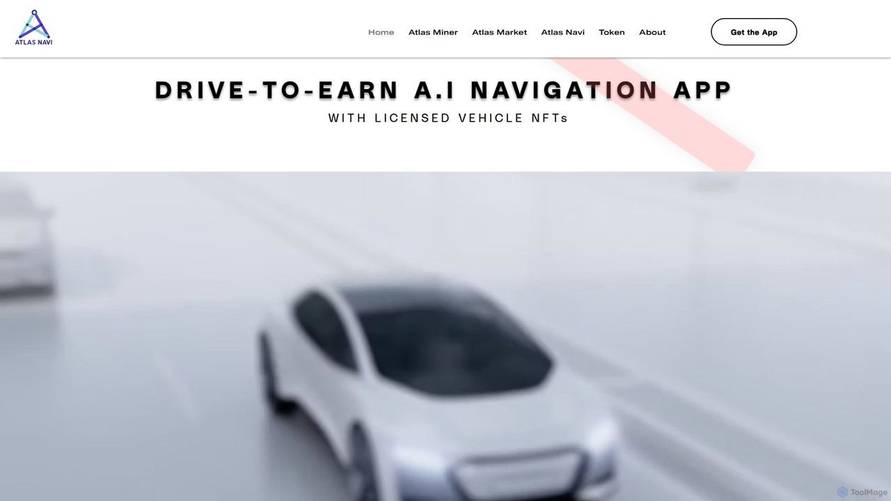
AtlasNavi is an AI-powered navigation app that combines real-time traffic analysis with a 'Drive-to-Earn' blockchain model. Using your …
AtlasNavi is an AI-powered navigation app that combines real-time traffic analysis with a 'Drive-to-Earn' blockchain model. Using your smartphone's camera, it detects road hazards, traffic, and police, providing smarter routes. Users can own licensed 3D vehicle NFTs to enhance their earnings and customize their in-app experience, while also benefiting from features like a dashcam, group trips, and live streaming.
About Maps & Navigation
Maps & Navigation are AI-powered tools that leverage artificial intelligence and machine learning to process geospatial data, offering advanced mapping, routing, and location-based services. These tools go beyond traditional GPS by providing real-time traffic analysis, predictive navigation, and optimized route planning. They enhance efficiency, safety, and user experience across various industries and personal applications, adapting dynamically to changing conditions and user needs.
Core Features
- Real-time Traffic Analysis: Provides up-to-the-minute information on traffic conditions, road closures, and potential hazards.
- Optimized Route Planning: Calculates the most efficient routes considering factors like distance, time, fuel efficiency, and vehicle type.
- Predictive Navigation: Anticipates future traffic patterns and suggests alternative routes proactively to avoid congestion.
- Geospatial Data Processing: Analyzes vast amounts of location data to derive insights for urban planning, logistics, and environmental monitoring.
- Personalized Location Services: Offers tailored recommendations for points of interest, routes, and services based on user preferences and behavior.
Applicable Scenarios
AI Maps & Navigation tools are indispensable for sectors requiring precise location intelligence and dynamic routing. Logistics and delivery companies use them to streamline operations and reduce costs. Urban planners leverage them for smart city development and infrastructure optimization. Individual travelers benefit from personalized itineraries and real-time guidance, while autonomous vehicles rely on them for safe and efficient self-navigation.
How to Choose
When selecting an AI Maps & Navigation tool, prioritize data accuracy and update frequency to ensure reliable information. Evaluate the breadth of features, such as real-time traffic, predictive routing, and geocoding capabilities, to match your specific needs. Consider its integration capabilities with existing systems via APIs, scalability for future growth, and the intuitiveness of its user interface for ease of adoption. Finally, assess the pricing model and the quality of customer support.
Maps & NavigationUse Cases
Optimizing Delivery Routes for E-commerce Logistics
Logistics managers in e-commerce companies utilize AI Maps & Navigation tools to dynamically optimize delivery routes. By analyzing real-time traffic, weather conditions, and multiple delivery points, these tools generate the most efficient paths, significantly reducing fuel consumption and delivery times. This leads to cost savings and improved customer satisfaction by ensuring timely deliveries.
Analyzing Urban Mobility for Smart City Planning
City planners and urban developers employ AI Maps & Navigation to analyze complex urban mobility patterns. By processing vast datasets from various sources, these tools identify congestion hotspots, predict future traffic flows, and evaluate the impact of new infrastructure projects. This data-driven approach supports the creation of more efficient public transport systems and sustainable urban environments.
Personalized Travel Itinerary Generation
Individual travelers leverage AI Maps & Navigation tools to generate highly personalized travel itineraries. By inputting preferences for activities, dining, and points of interest, along with real-time location and schedule, the AI suggests optimized routes and recommendations. This enhances the travel experience by providing tailored suggestions and dynamic adjustments, making exploration more efficient and enjoyable.
Enhancing Navigation for Autonomous Vehicles
Automotive engineers integrate advanced AI Maps & Navigation solutions into self-driving cars. These tools provide precise real-time localization, detailed environmental mapping, and dynamic route adjustments based on sensor data and predictive algorithms. This integration is crucial for ensuring the safety, reliability, and efficiency of autonomous vehicles in complex and ever-changing road conditions.
Guiding Emergency Services in Critical Situations
Emergency responders and disaster management teams rely on AI Maps & Navigation to quickly and safely reach incident sites. These tools provide the fastest routes, considering real-time road closures, hazards, and optimal access points. By offering dynamic routing and critical location intelligence, they significantly improve response times and resource deployment during crises, potentially saving lives.
Identifying Optimal Retail Store Locations
Retail businesses and real estate developers use AI Maps & Navigation for location intelligence. These tools analyze demographic data, competitor locations, foot traffic patterns, and accessibility to identify optimal sites for new stores or branches. This data-driven site selection maximizes customer reach, enhances market penetration, and ultimately boosts profitability by placing businesses in strategic, high-potential areas.