splash9
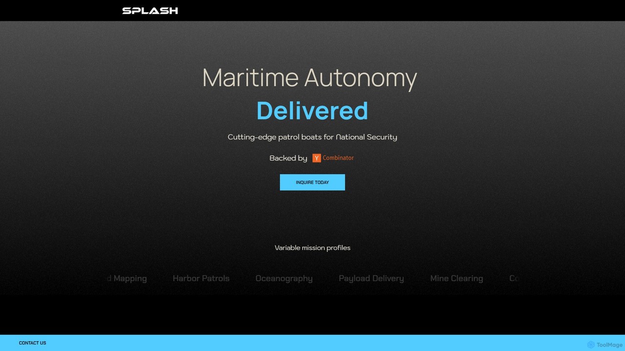
splash9 by Splash Industries provides cutting-edge autonomous surface vessels (ASVs) for national security, commercial, and research missions. These …
splash9 by Splash Industries provides cutting-edge autonomous surface vessels (ASVs) for national security, commercial, and research missions. These high-performance drone-boats offer complete autonomy, long-range capabilities, and multi-mission versatility for tasks like coastal patrol, infrastructure security, and seabed mapping.
About Surveying
AI Surveying tools are specialized solutions that integrate artificial intelligence to automate and enhance various aspects of land and infrastructure measurement. These tools leverage machine learning, computer vision, and advanced geospatial analytics to process vast amounts of data from drones, LiDAR, and satellite imagery. They significantly improve accuracy, efficiency, and safety in data collection, analysis, and 3D modeling for diverse industrial applications. This technology transforms traditional surveying methods by enabling faster insights, reducing manual effort, and supporting more precise decision-making across the industrial sector.
Core Features
- Automated Data Capture: Intelligent flight planning for drones and autonomous ground vehicles, optimizing data collection paths and sensor activation.
- Point Cloud Processing: AI algorithms for noise reduction, classification (e.g., ground, vegetation, buildings), and feature extraction from LiDAR and photogrammetry data.
- Image Recognition & Analysis: Computer vision for identifying objects, defects, and changes in aerial and ground imagery, crucial for infrastructure inspection.
- 3D Model Generation: Automated creation of highly accurate digital terrain models (DTM), digital surface models (DSM), and building information models (BIM) from raw data.
- Change Detection & Monitoring: AI-driven comparison of multi-temporal datasets to identify subtle changes in land use, structural integrity, or environmental conditions over time.
Applicable Scenarios
Construction project managers use AI surveying for site progress monitoring, volume calculations, and ensuring design compliance. Urban planners deploy these tools for detailed city mapping, infrastructure development, and environmental impact assessments. Mining engineers utilize AI surveying for pit volume analysis, stockpile management, and safety monitoring in hazardous environments.
How to Choose
When selecting AI surveying tools, consider the specific data sources (e.g., drone, LiDAR, satellite) and the required output formats (e.g., DTM, BIM, orthomosaic). Evaluate the tool's automation capabilities for data processing, its integration with existing GIS or CAD software, and the level of accuracy and precision it guarantees for your specific application. Also, assess the user interface's complexity and the availability of technical support.
SurveyingUse Cases
Automated Construction Site Progress Monitoring
Construction project managers can deploy AI surveying tools to automate daily or weekly site progress monitoring. Drones equipped with AI-powered flight planning capture high-resolution imagery and LiDAR data. The AI then processes this data to generate accurate 3D models, track material stockpiles, calculate earthwork volumes, and compare actual progress against BIM designs, providing real-time insights into project timelines and resource allocation without extensive manual measurements.
Infrastructure Inspection and Anomaly Detection
For critical infrastructure like bridges, pipelines, or power lines, AI surveying tools enable efficient and safe inspection. Drones collect visual and thermal data, which AI algorithms analyze to automatically identify cracks, corrosion, vegetation encroachment, or other structural anomalies. This significantly reduces the need for human inspectors in dangerous areas, speeds up defect identification, and allows for proactive maintenance planning, minimizing downtime and repair costs.
Precision Agriculture Land Mapping
Farmers and agricultural consultants utilize AI surveying for detailed land mapping and crop health analysis. Drones capture multispectral imagery, which AI processes to create precise topographic maps, identify variations in soil moisture, nutrient levels, and detect early signs of plant stress or disease. This data informs targeted irrigation, fertilization, and pest control strategies, optimizing resource use and maximizing crop yields across large agricultural areas.
Environmental Change Detection and Monitoring
Environmental scientists and conservationists employ AI surveying to monitor ecological changes over time. By comparing multi-temporal satellite or drone imagery, AI algorithms can automatically detect deforestation, urban sprawl, coastline erosion, or changes in water bodies. This provides crucial data for environmental impact assessments, conservation efforts, and tracking the effects of climate change, offering a scalable and consistent method for long-term ecological observation.
Volume Calculation for Mining and Quarry Operations
In mining and quarrying, accurate volume calculations of stockpiles and excavated material are essential for inventory management and operational planning. AI surveying tools, often using drone-captured photogrammetry or LiDAR, automate this process. The AI generates precise 3D models of stockpiles, calculates their exact volume, and tracks changes over time, eliminating manual and often hazardous measurement methods while providing highly accurate data for financial reporting and resource management.
Urban Planning and Digital Twin Creation
Urban planners and developers leverage AI surveying to create highly detailed digital twins of cities or specific development areas. AI processes vast datasets from aerial imagery, LiDAR, and ground-based sensors to construct accurate 3D models of buildings, infrastructure, and terrain. These digital twins serve as dynamic platforms for simulating urban growth, assessing infrastructure needs, planning new developments, and managing city assets efficiently.