SmoothRide
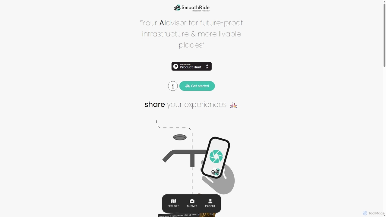
SmoothRide is an AI-powered platform for cyclists to report infrastructure issues and receive innovative solutions. By crowdsourcing problems …
SmoothRide is an AI-powered platform for cyclists to report infrastructure issues and receive innovative solutions. By crowdsourcing problems like potholes and blocked bike lanes, it uses OpenAI to generate practical, best-practice, and creative advice, aiming to create safer and more livable cities for everyone.
About Urban Planning
Urban Planning AI tools are a specialized category within productivity software, designed to enhance the efficiency and intelligence of urban development processes. These tools leverage artificial intelligence, machine learning, and geospatial analysis to analyze complex urban data, predict future trends, and optimize design solutions. They empower planners, architects, and policymakers to create more sustainable, resilient, and livable cities by providing data-driven insights and automating tedious tasks.
Core Features
- Geospatial Data Analysis: Processes vast amounts of geographical data, including satellite imagery, census data, and infrastructure maps, to identify patterns and inform decisions.
- Predictive Modeling: Utilizes AI to forecast urban growth, traffic patterns, resource consumption, and environmental impacts, aiding in proactive planning.
- Design Optimization: Generates and evaluates multiple urban design layouts based on predefined criteria like walkability, green space, and density, accelerating the design phase.
- Environmental Impact Assessment: Simulates the effects of proposed developments on air quality, water resources, and biodiversity, supporting sustainable choices.
- Community Engagement Platforms: Facilitates public participation by analyzing feedback from surveys and social media, ensuring citizen voices are integrated into planning.
Applicable Scenarios
Urban planners use these tools to develop master plans for new districts, optimizing land use and infrastructure. Government agencies employ them for smart city initiatives, managing resources and public services more effectively. Real estate developers leverage AI for site selection and feasibility studies, predicting market demand and project viability.
How to Choose
When selecting Urban Planning AI tools, consider the specific planning phase you need to support (e.g., data analysis, design, impact assessment). Evaluate the tool's data integration capabilities with existing GIS and CAD systems. Assess the accuracy and transparency of its predictive models, and ensure it offers robust visualization and reporting features for stakeholder communication.
Urban PlanningUse Cases
Optimizing Land Use for New Developments
Urban planners use AI to analyze demographic data, environmental factors, and existing infrastructure to generate optimal land-use proposals for new residential or commercial zones, maximizing efficiency and sustainability. This allows for data-driven decisions on zoning, density, and green spaces, reducing planning time and improving long-term urban livability.
Predicting Traffic Congestion and Planning Infrastructure
City transport departments deploy AI tools to forecast future traffic bottlenecks based on population growth, event schedules, and historical data. This enables proactive planning of road expansions, public transit routes, and smart traffic light systems, significantly reducing commute times and improving urban mobility for residents.
Assessing Environmental Impact of Construction Projects
Environmental consultants utilize AI to simulate the ecological footprint of proposed buildings or infrastructure, evaluating effects on air quality, water runoff, and local ecosystems. This ensures compliance with environmental regulations and promotes green development practices, leading to more sustainable urban environments and reduced long-term costs.
Designing Resilient Urban Green Spaces
Landscape architects employ AI to design parks and green corridors that enhance biodiversity, manage stormwater, and improve urban microclimates. By considering factors like sunlight, soil type, and pedestrian flow, AI helps create functional and aesthetically pleasing green infrastructure, contributing to urban resilience and public well-being.
Facilitating Data-Driven Community Engagement
Local governments use AI-powered platforms to analyze public feedback from online forums, social media, and surveys regarding proposed projects. This identifies key concerns and preferences, ensuring citizen voices are integrated into planning decisions, fostering greater transparency and public acceptance of urban development initiatives.
Simulating Smart City Sensor Network Placement
City engineers leverage AI to determine the optimal placement of IoT sensors for smart city applications, such as waste management, air quality monitoring, and traffic flow. This ensures maximum coverage and data collection efficiency across urban areas, leading to more effective resource management and improved public services.