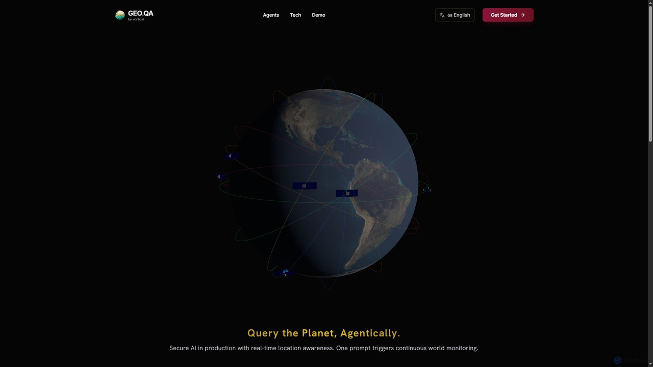
Geo
Geo provides real-time geospatial intelligence to AI agents, enabling continuous global monitoring and location-aware decision-making through natural language …
Geo provides real-time geospatial intelligence to AI agents, enabling continuous global monitoring and location-aware decision-making through natural language prompts. It simplifies complex satellite data for enterprise AI applications.
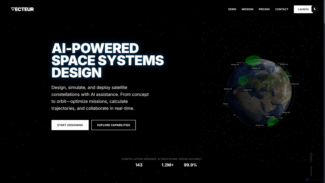
Vecteur
Vecteur is an AI-powered platform revolutionizing space systems engineering, enabling users to design, simulate, and deploy satellite constellations …
Vecteur is an AI-powered platform revolutionizing space systems engineering, enabling users to design, simulate, and deploy satellite constellations with unprecedented speed and accuracy. It offers intelligent design assistance, real-time simulation, and collaborative environments for various space missions.
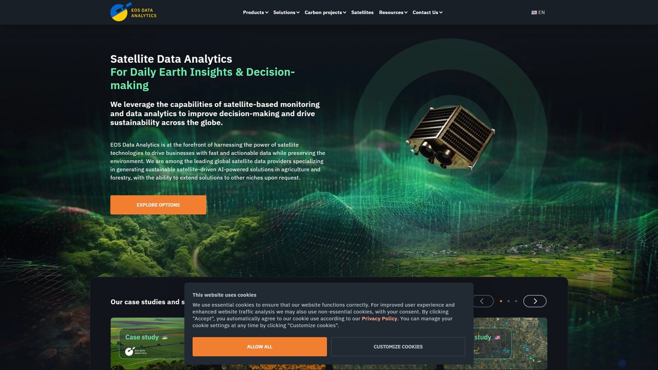
eos
EOS Data Analytics (eos) is an AI-powered platform providing satellite imagery analysis for various industries. It leverages machine …
EOS Data Analytics (eos) is an AI-powered platform providing satellite imagery analysis for various industries. It leverages machine learning to process geospatial data, offering actionable insights for agriculture, forestry, environmental monitoring, and more. The platform helps businesses make data-driven decisions, optimize operations, and mitigate risks through advanced remote sensing technologies.