eos
Visit Website
eos Overview
EOS Data Analytics (eos) is a global provider of AI-powered satellite imagery analytics. The company leverages advanced technologies, including machine learning and computer vision, to analyze vast amounts of geospatial data and deliver actionable intelligence to businesses and organizations across multiple sectors. By transforming raw satellite images into meaningful insights, eos empowers users to monitor assets, manage resources effectively, and make informed, strategic decisions. The platform is designed to be a comprehensive solution for anyone needing to understand and react to changes happening on the ground, from a single field to a global scale.
How to use eos
Using the eos platform involves a straightforward workflow designed for both technical and non-technical users.
1. Define Area of Interest (AOI): Users begin by selecting their specific geographical area on an interactive map. This could be a farm, a forest concession, a pipeline route, or an entire region.
2. Select Data and Timeframe: The platform provides access to a wide range of satellite data from various providers (e.g., Sentinel, Landsat, high-resolution commercial satellites). Users can select the desired data type and specify the time range for their analysis, enabling historical tracking and change detection.
3. Apply AI-Powered Analytics: Users can then apply a suite of pre-built analytical tools. This includes calculating vegetation indices (like NDVI for crop health), running change detection algorithms to spot deforestation or construction, or using object detection models to identify specific features.
4. Visualize and Export Insights: The results are presented through intuitive visualizations, such as color-coded maps, interactive charts, and detailed reports. Users can analyze these insights directly on the platform or export the data and reports in various formats (GeoTIFF, SHP, PDF) for integration into their own systems or for further analysis.
Core Features of eos
- Multi-Source Satellite Data: Access to a vast and constantly updated catalog of satellite imagery from leading public and commercial satellite constellations.
- AI-Powered Analytics: Utilizes proprietary AI and machine learning algorithms for tasks like land cover classification, object detection, change detection, and predictive modeling.
- Vegetation Indices: Offers a comprehensive set of vegetation indices (NDVI, EVI, MSAVI, etc.) for detailed monitoring of crop and forest health.
- Cloud-Based Platform: A fully online, scalable platform that requires no software installation, allowing users to perform complex analysis from any web browser.
- API for Integration: Provides a robust API for developers to seamlessly integrate eos data and analytics into their own applications, workflows, and services.
- Historical Data Analysis: Enables users to analyze historical satellite imagery archives to understand long-term trends, assess environmental changes, and build predictive models.
Use Cases for eos
eos provides tailored solutions for a variety of industries:
Agriculture: Farmers and agribusinesses use eos for precision agriculture. This includes monitoring crop health, creating variable-rate application maps for fertilizers, forecasting yields, managing irrigation, and assessing crop damage from weather events.
Forestry: Government agencies and private companies monitor deforestation, detect illegal logging activities, manage forest resources sustainably, and assess fire risk and post-fire damage.
Environmental Monitoring: Researchers and environmental organizations track land use changes, monitor water body health, assess the impact of climate change, and ensure compliance with environmental regulations.
Oil & Gas: Companies monitor pipeline integrity, detect potential leaks or ground displacement, and manage environmental impact assessments for new projects.
Advantages of eos
The primary advantage of eos is its ability to convert complex satellite data into clear, actionable intelligence. This leads to significant benefits, including improved operational efficiency, reduced costs, and enhanced risk management. By providing a scalable way to monitor large and remote areas, eos eliminates the need for expensive and time-consuming manual surveys. The platform's data-driven insights support sustainable practices in agriculture and forestry, help in disaster response, and provide a competitive edge to businesses by enabling proactive rather than reactive decision-making.
Pricing and Plans
EOS Data Analytics primarily offers customized enterprise-level solutions and subscription-based plans. Pricing is typically based on the size of the area to be monitored, the frequency of analysis, the resolution of the satellite imagery required, and the level of API access. The company does not list standard prices on its website, as solutions are tailored to specific client needs. Potential customers are encouraged to contact the eos sales team to discuss their requirements and receive a custom quote.
eos Comments (0)
Log in to post comments
Log in noweosWebsite Traffic Analysis
Latest Traffic
Status
Monthly Traffic Trend
Geography
Top 5 Countries/Regions
-
🇧🇷 Brazil34.69%
-
🇺🇸 United States27.72%
-
🇩🇪 Germany17.08%
-
🇺🇦 Ukraine13.17%
-
🇸🇦 Saudi Arabia7.34%
Traffic source
| Source Type | Percentage |
|---|---|
|
Direct Access
|
81.27% |
|
Referral
|
9.52% |
|
Email
|
9.21% |
Popular Keywords
| Keyword | Cost Per Click |
|---|---|
|
$0.00
|
|
|
$0.14
|
|
|
$0.43
|
|
|
$0.16
|
|
|
$0.26
|
eos Alternatives
View All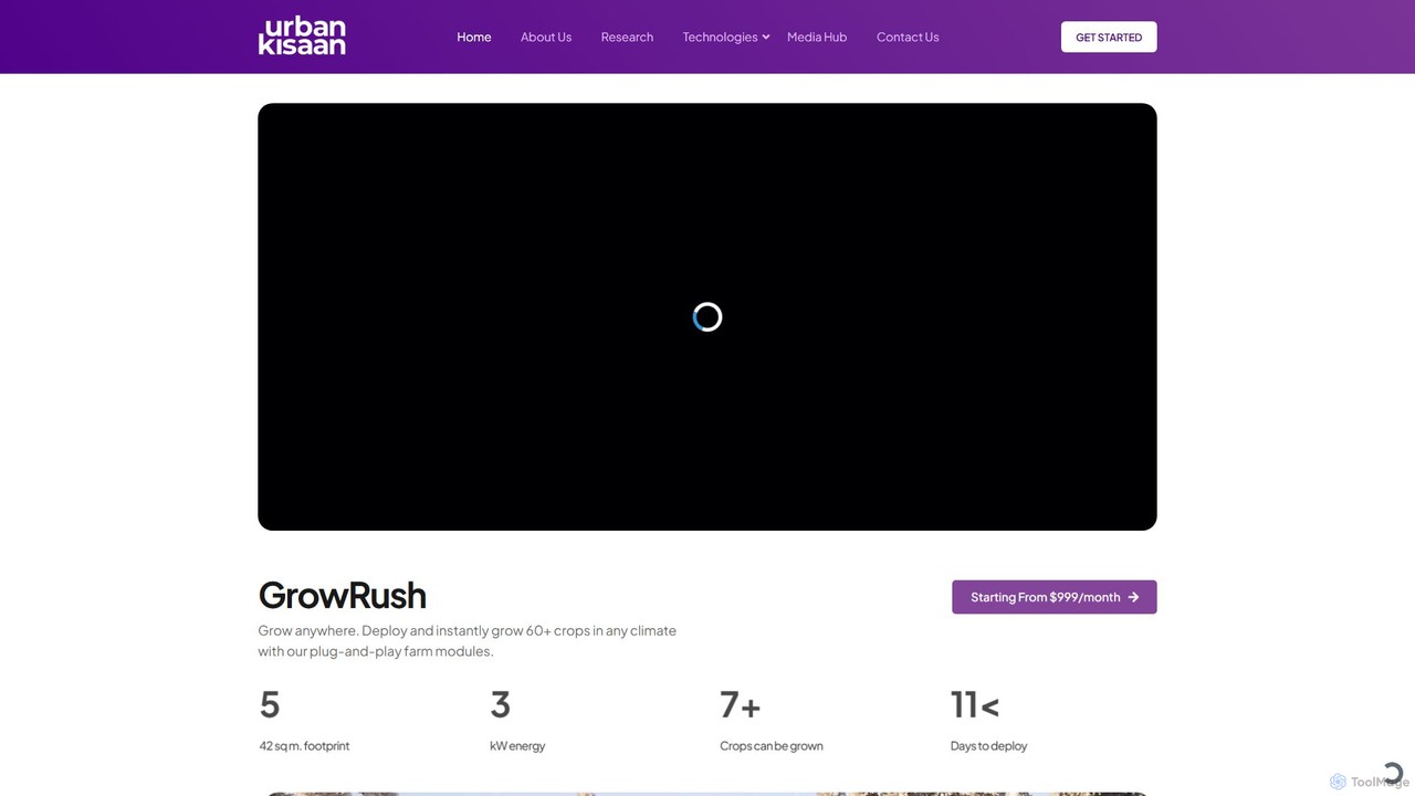
UrbanKisaan
UrbanKisaan is a comprehensive agricultural intelligence platform that leverages AI to create climate-resilient farming solutions. It offers a …
UrbanKisaan is a comprehensive agricultural intelligence platform that leverages AI to create climate-resilient farming solutions. It offers a suite of products including FarmOS.ai for farm management, GeneRush for accelerated seed breeding, and GrowRush for modular vertical farms. By integrating satellite, sensor, and ground-level data, UrbanKisaan provides actionable insights to enhance crop yield, reduce water usage, and promote sustainable agriculture for farmers, researchers, and governments worldwide.
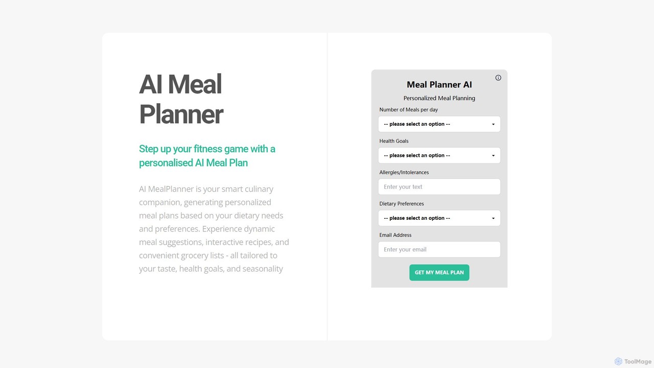
ai_mealplan
An AI-powered meal planner that creates personalized meal plans based on your fitness goals, dietary needs, and food …
An AI-powered meal planner that creates personalized meal plans based on your fitness goals, dietary needs, and food preferences. It provides dynamic meal suggestions, interactive recipes, and automated grocery lists to simplify healthy eating and fitness nutrition.
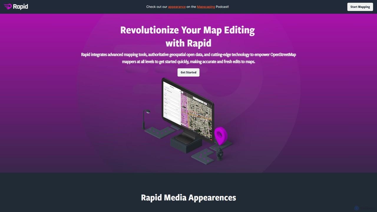
Rapid Editor
Rapid Editor is an AI-enhanced OpenStreetMap (OSM) editor designed to accelerate and simplify the mapping process. By leveraging …
Rapid Editor is an AI-enhanced OpenStreetMap (OSM) editor designed to accelerate and simplify the mapping process. By leveraging AI-detected features from satellite imagery and integrating open data, it allows users to quickly add roads, buildings, and other geographical elements. Its intuitive interface makes it ideal for both beginners and experienced mappers, especially for humanitarian and community-driven mapping projects.

Precip
Precip provides hyper-local, highly accurate rainfall totals and historical weather data through a web dashboard and a powerful …
Precip provides hyper-local, highly accurate rainfall totals and historical weather data through a web dashboard and a powerful API. It's designed for industries like agriculture, construction, and logistics, offering 1km resolution data, real-time rainfall notifications, and multi-location monitoring. By tracking actual precipitation, Precip helps businesses make informed, data-driven decisions, optimize schedules, and manage weather-dependent operations more efficiently, surpassing the accuracy of standard forecasts.
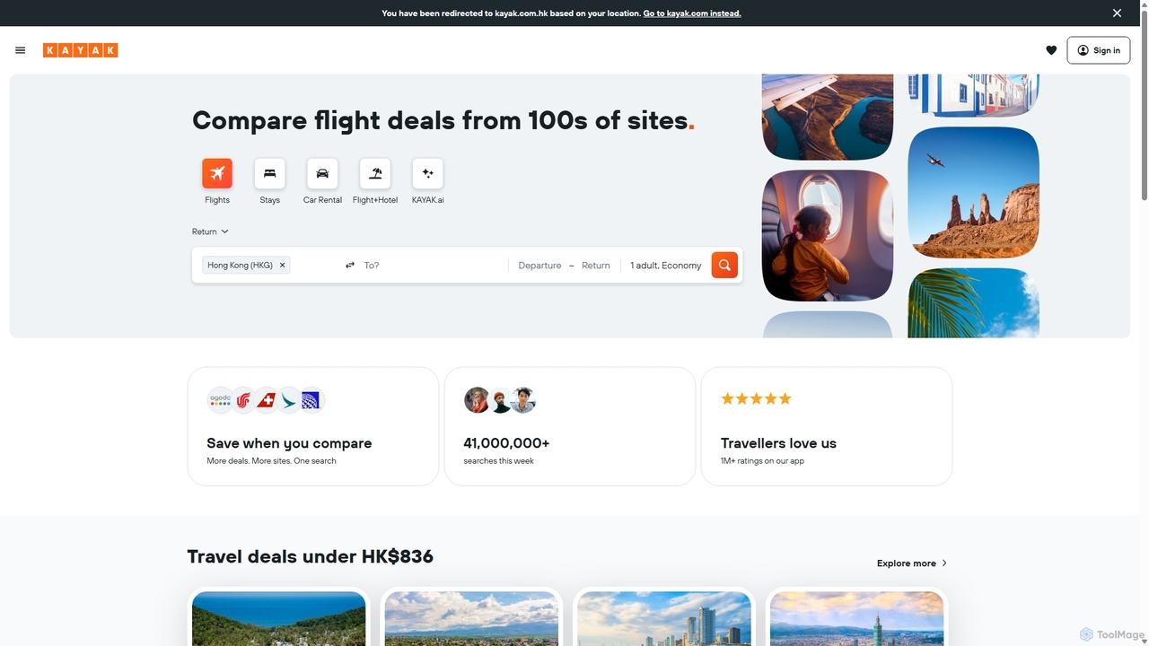
KAYAK
KAYAK is an AI-powered travel search engine that processes billions of queries to help users find the best …
KAYAK is an AI-powered travel search engine that processes billions of queries to help users find the best deals on flights, hotels, and rental cars. It compares prices from hundreds of travel sites at once, offering tools like Price Alerts, itinerary management with Trips, and a new conversational AI feature, KAYAK.ai, to simplify travel planning and ensure confident booking decisions.
Rescale
Rescale is a cloud-based High Performance Computing (HPC) platform designed to accelerate engineering and scientific R&D. It provides …
Rescale is a cloud-based High Performance Computing (HPC) platform designed to accelerate engineering and scientific R&D. It provides on-demand access to a multi-cloud infrastructure, a vast catalog of simulation and AI software, and a unified environment for managing complex workflows, data, and security. It empowers organizations in aerospace, automotive, life sciences, and more to innovate faster and more efficiently.

Google Skills
Google Skills is an online learning platform designed to help individuals and teams build and validate in-demand technical …
Google Skills is an online learning platform designed to help individuals and teams build and validate in-demand technical skills, particularly in AI and cloud technologies. It offers a range of learning paths, including hands-on labs, courses, skill badges, and industry-recognized certifications from Google experts, enabling users to future-proof their careers and enhance workforce capabilities.

Planner 5D
Planner 5D is an AI-powered home and interior design platform that allows users to easily create detailed 2D …
Planner 5D is an AI-powered home and interior design platform that allows users to easily create detailed 2D and 3D floor plans, furnish and decorate spaces, and visualize designs with stunning 4K renders. It's designed for homeowners, professionals, and students alike.
ropuz
ropuz is an AI-powered decision intelligence platform that helps businesses solve complex operational puzzles. It uses advanced algorithms …
ropuz is an AI-powered decision intelligence platform that helps businesses solve complex operational puzzles. It uses advanced algorithms to optimize logistics, workforce scheduling, and supply chain management, turning intricate challenges into actionable, efficient solutions.
mindtrip
Mindtrip is an AI-powered travel planner that creates personalized itineraries in seconds. Describe your dream trip, and Mindtrip …
Mindtrip is an AI-powered travel planner that creates personalized itineraries in seconds. Describe your dream trip, and Mindtrip will generate a detailed day-by-day plan, including flights, accommodations, activities, and restaurant suggestions, tailored to your interests and budget.
eos Category
eos Tag
eos AI Tool Comparison
eos Embed Feature
Just copy the embed code below and paste this beautiful badge on your blog, article, or official app website to drive traffic directly to this tool's detail page and quickly boost your exposure and user count!

No comments yet, be the first to comment!