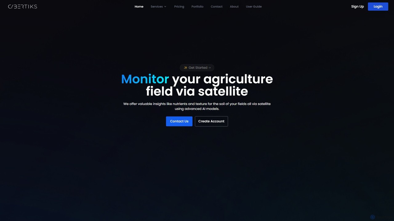
Cybertiks
Cybertiks is an advanced AI platform that leverages satellite imagery and remote sensing for in-depth analysis in agriculture, …
Cybertiks is an advanced AI platform that leverages satellite imagery and remote sensing for in-depth analysis in agriculture, mining, and environmental management. It provides valuable insights into soil nutrients, mineral deposits, and field health, enabling data-driven decision-making for various industries. By integrating multiple data sources and advanced AI models, Cybertiks delivers tailored, high-accuracy solutions for resource monitoring and management.
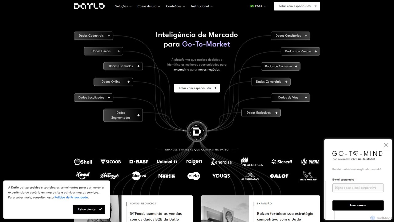
Datlo
Datlo is an AI-powered market intelligence platform designed for Go-To-Market strategies. It leverages geolocated data, demographic profiles, and …
Datlo is an AI-powered market intelligence platform designed for Go-To-Market strategies. It leverages geolocated data, demographic profiles, and diverse market variables to help medium and large enterprises identify expansion opportunities, understand consumer behavior, and make data-driven decisions. By combining big data and AI, Datlo accelerates sales, optimizes territory management, and enhances competitive strategy through actionable insights and customizable analyses.

Vidrovr
Vidrovr is an AI-powered intelligence platform that transforms massive volumes of pixel-based data (video, imagery, LiDAR) into actionable …
Vidrovr is an AI-powered intelligence platform that transforms massive volumes of pixel-based data (video, imagery, LiDAR) into actionable insights. Designed for defense, intelligence, and national security, it automates analysis to accelerate decision-making and enhance mission success.

Flypix
Flypix is an end-to-end AI platform for geospatial analysis, enabling users to automatically detect, localize, and segment objects …
Flypix is an end-to-end AI platform for geospatial analysis, enabling users to automatically detect, localize, and segment objects in satellite, aerial, and drone imagery. Train custom AI models with no coding required to analyze complex scenes, saving significant time and resources across industries like agriculture, construction, and environmental monitoring.
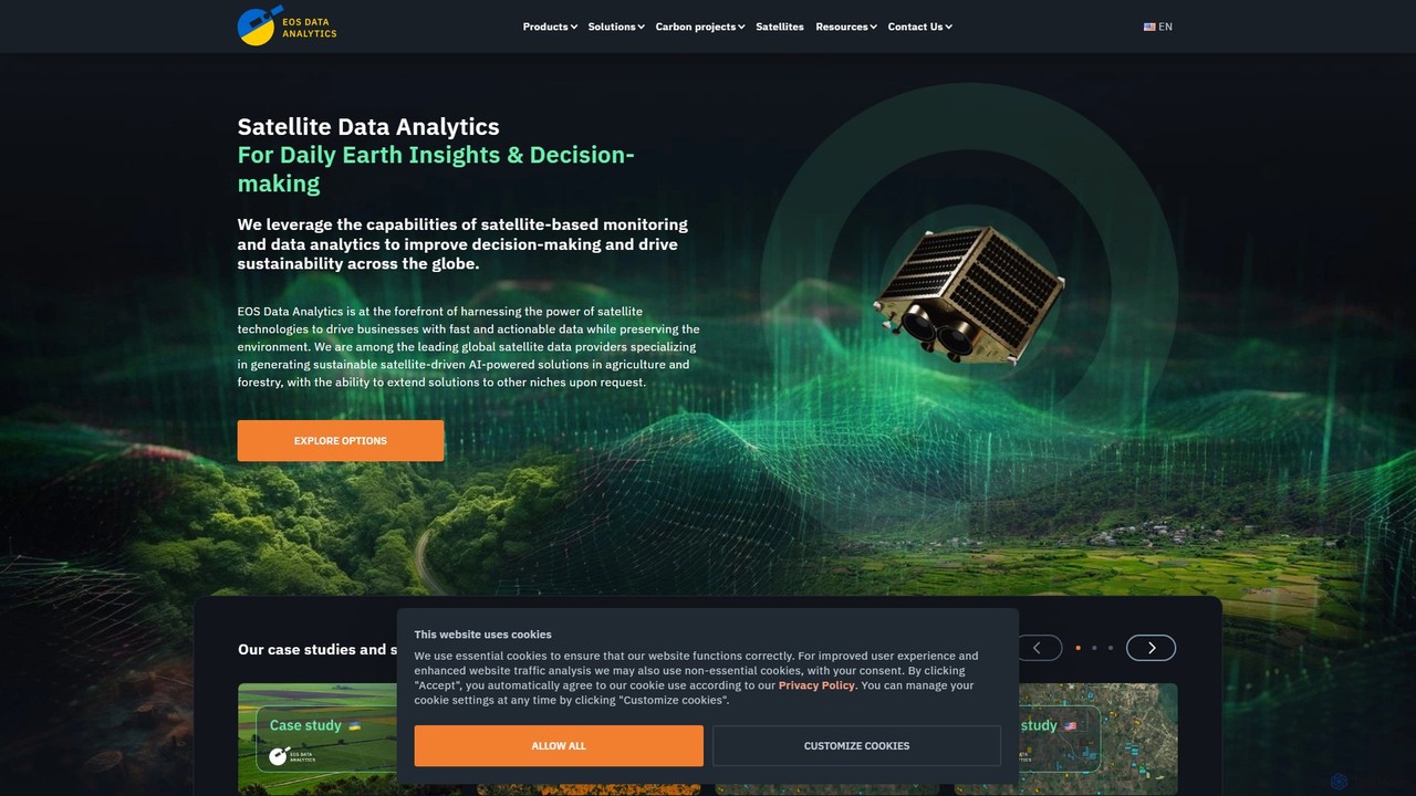
eos
EOS Data Analytics (eos) is an AI-powered platform providing satellite imagery analysis for various industries. It leverages machine …
EOS Data Analytics (eos) is an AI-powered platform providing satellite imagery analysis for various industries. It leverages machine learning to process geospatial data, offering actionable insights for agriculture, forestry, environmental monitoring, and more. The platform helps businesses make data-driven decisions, optimize operations, and mitigate risks through advanced remote sensing technologies.