Flypix
Visit Website
Flypix Overview
Flypix is a powerful, end-to-end geospatial AI platform designed to revolutionize how we analyze the Earth's surface. It leverages advanced artificial intelligence to effortlessly identify, locate, and segment objects within various types of geospatial imagery, including data from satellites, airplanes, and drones. The platform is built for professionals across a wide range of sectors who need to extract actionable insights from complex visual data without needing deep expertise in AI or programming. Flypix transforms the traditionally time-consuming task of manual image annotation into a rapid, automated process, claiming to save up to 99.7% of the time required.
The core of the platform is its ability to not only use pre-built AI models but also to allow users to train their own custom models. This no-code approach empowers users to teach the AI to find specific items relevant to their unique projects, whether it's identifying specific crop types, tracking construction equipment, monitoring infrastructure, or locating marine debris for environmental clean-ups. With an intuitive interface and an interactive sandbox, users can quickly experience the platform's capabilities and integrate them into their workflows.
How to use Flypix
Using Flypix is a straightforward process designed for efficiency and accessibility:
- Sign Up & Access: Create an account to access the Flypix platform. A free plan is available to get started and explore the basic features.
- Source Your Data: You can either upload your own geospatial imagery (such as GeoTIFFs from drones or satellites) or use the integrated Data Market to browse, preview, and acquire high-resolution imagery from various providers for any location worldwide.
- Train a Custom AI Model (or Use a Pre-built one): For unique detection needs, navigate to the training mode. Here, you can create a new model by simply annotating (drawing boxes around) a few examples of the object you want to detect in an image. The platform handles the complex AI training process in the background. No coding is necessary.
- Run Analysis: Select your area of interest and the AI model you wish to use. Flypix will then process the imagery, automatically detecting and outlining all instances of the target object.
- Analyze & Export Results: The detected objects are displayed on an interactive map and analytics dashboard. You can review the results, gather statistics, and export the findings as vector layers (e.g., GeoJSON) for seamless integration with existing GIS platforms like QGIS or ArcGIS for further analysis.
Core Features of Flypix
- AI-Powered Object Detection & Segmentation: Automatically identifies, outlines, and counts objects in geospatial images with high precision.
- No-Code Custom AI Model Training: Create and train highly specific AI models tailored to your needs without writing a single line of code.
- Multi-Source Imagery Support: Works seamlessly with satellite, aerial, and drone imagery of varying resolutions.
- Integrated Data Market: A built-in marketplace to easily source high-quality remote sensing imagery from global providers.
- Interactive Analytics Dashboard: Visualize results, track changes over time, and gain insights from your data through an intuitive dashboard.
- Collaboration Tools: Share maps and projects with team members, manage access controls, and work collaboratively on analyses (available in higher-tier plans).
- API Access: Integrate Flypix's capabilities directly into your own applications and automated workflows with a powerful API.
- Advanced Capabilities: Supports multispectral data analysis and change detection to monitor transformations in an area over time.
Use Cases for Flypix
Flypix is a versatile tool applicable to numerous industries:
- Agriculture: Precision farming, crop health monitoring, yield estimation, and livestock counting.
- Construction & Infrastructure: Monitoring construction site progress, asset management, and inspecting infrastructure like pipelines and power lines.
- Environmental Management: Tracking deforestation, monitoring illegal mining, assessing flood or fire damage, and supporting clean-up missions by identifying plastic waste.
- Government & Urban Planning: Land-use classification, smart city management, and monitoring urban development.
- Insurance & Risk Management: Assessing property risk from natural disasters and verifying damage claims with high accuracy.
- Port Operations & Logistics: Automating the counting of shipping containers, vehicles, and vessels to optimize operations.
Advantages of Flypix
Flypix offers significant advantages over traditional methods:
- Massive Time Savings: Automates object detection tasks that would take hours or days to complete manually.
- Cost-Effective: Reduces the need for extensive manual labor and specialized personnel.
- Accessible AI: Empowers non-experts to leverage state-of-the-art AI technology for their specific needs.
- Scalable: From small-scale projects on the free plan to large-scale enterprise deployments with unlimited processing.
- Actionable Data: Converts raw imagery into structured, actionable data that drives smarter decision-making.
- High Precision: Delivers reliable and accurate results, as validated by testimonials from various industry leaders.
Pricing and Plans
Flypix offers a flexible, credit-based pricing structure with a 7-day free trial for paid plans and an annual billing option that saves 20%.
- BASIC: Free. Includes 1 user, 3GB of storage, and a one-time grant of 10 credits. Provides access to Flypix AI models and limited support.
- STARTER: €50/month. Includes 1 user, 10GB storage, and 50 credits per month. Suitable for processing ~1 Gigapixel of data.
- STANDARD: €500/month. Includes 2 user seats, 120GB storage, and 600 credits per month (~12 Gigapixels). Adds map sharing and faster support.
- PROFESSIONAL: €2000/month. Includes 5 user seats, 600GB storage, and 3,000 credits per month (~60 Gigapixels). Unlocks API access, team management, white-labeling, and expert support.
- ENTERPRISE: Custom pricing. Offers unlimited users, storage, and credits, with access to all features for large-scale organizational needs.
Credit System: Credits are used for data processing (AI model training and inference). 1 Credit equals €1 and processes approximately 20 Megapixels (MP). The actual area (km²) covered per credit depends on the image resolution.
Flypix Comments (0)
Log in to post comments
Log in nowFlypixWebsite Traffic Analysis
Latest Traffic
Status
Monthly Traffic Trend
Geography
Top 5 Countries/Regions
-
🇩🇪 Germany23.89%
-
🇰🇷 Korea, Republic of23.63%
-
🇺🇸 United States20.14%
-
🇧🇷 Brazil17.80%
-
🇫🇷 France14.54%
Traffic source
| Source Type | Percentage |
|---|---|
|
Direct Access
|
68.66% |
|
Referral
|
26.00% |
|
Email
|
5.34% |
Popular Keywords
| Keyword | Cost Per Click |
|---|---|
|
$0.00
|
|
|
$3.99
|
|
|
$3.56
|
|
|
$0.00
|
|
|
$0.00
|
Flypix Alternatives
View All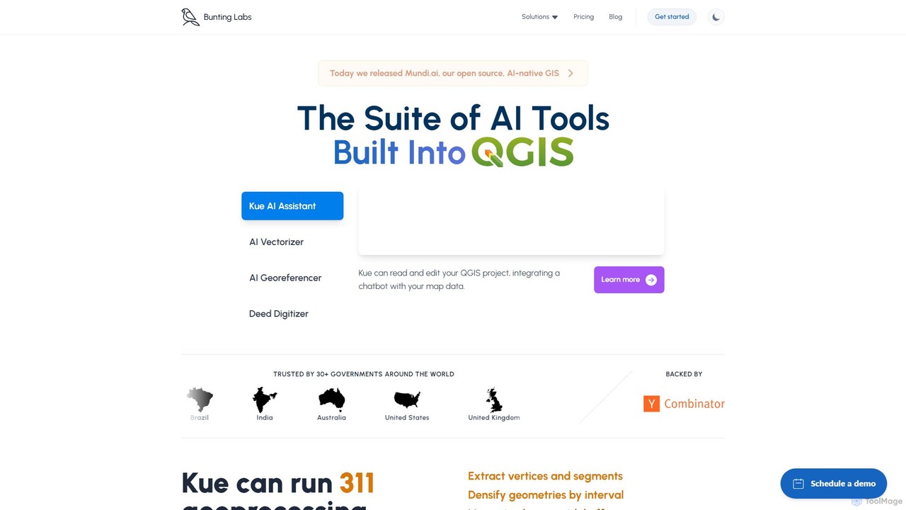
Bunting Labs
Bunting Labs offers a suite of AI-powered tools for GIS professionals, integrated directly into QGIS. It automates and …
Bunting Labs offers a suite of AI-powered tools for GIS professionals, integrated directly into QGIS. It automates and accelerates map digitization, vectorization, and georeferencing, transforming time-consuming manual tasks into efficient, AI-driven workflows. The platform includes an AI assistant, an AI vectorizer, and an AI georeferencer to enhance productivity and data accuracy.

Picterra
Picterra is a GeoAI platform that enables users to analyze satellite and drone imagery to extract insights. It …
Picterra is a GeoAI platform that enables users to analyze satellite and drone imagery to extract insights. It provides a no-code environment for building and deploying object detection models, empowering industries like agriculture, ESG, and infrastructure with scalable environmental intelligence.

eyeq
eyeq provides world-leading AI-powered automatic photo correction and video enhancement solutions for businesses. Its core technology, Perfectly Clear, …
eyeq provides world-leading AI-powered automatic photo correction and video enhancement solutions for businesses. Its core technology, Perfectly Clear, uses 20+ years of scientific research and AI to deliver vibrant, accurate colors, intelligent retouching, and automated workflows, helping companies improve quality, reduce costs, and increase revenue.
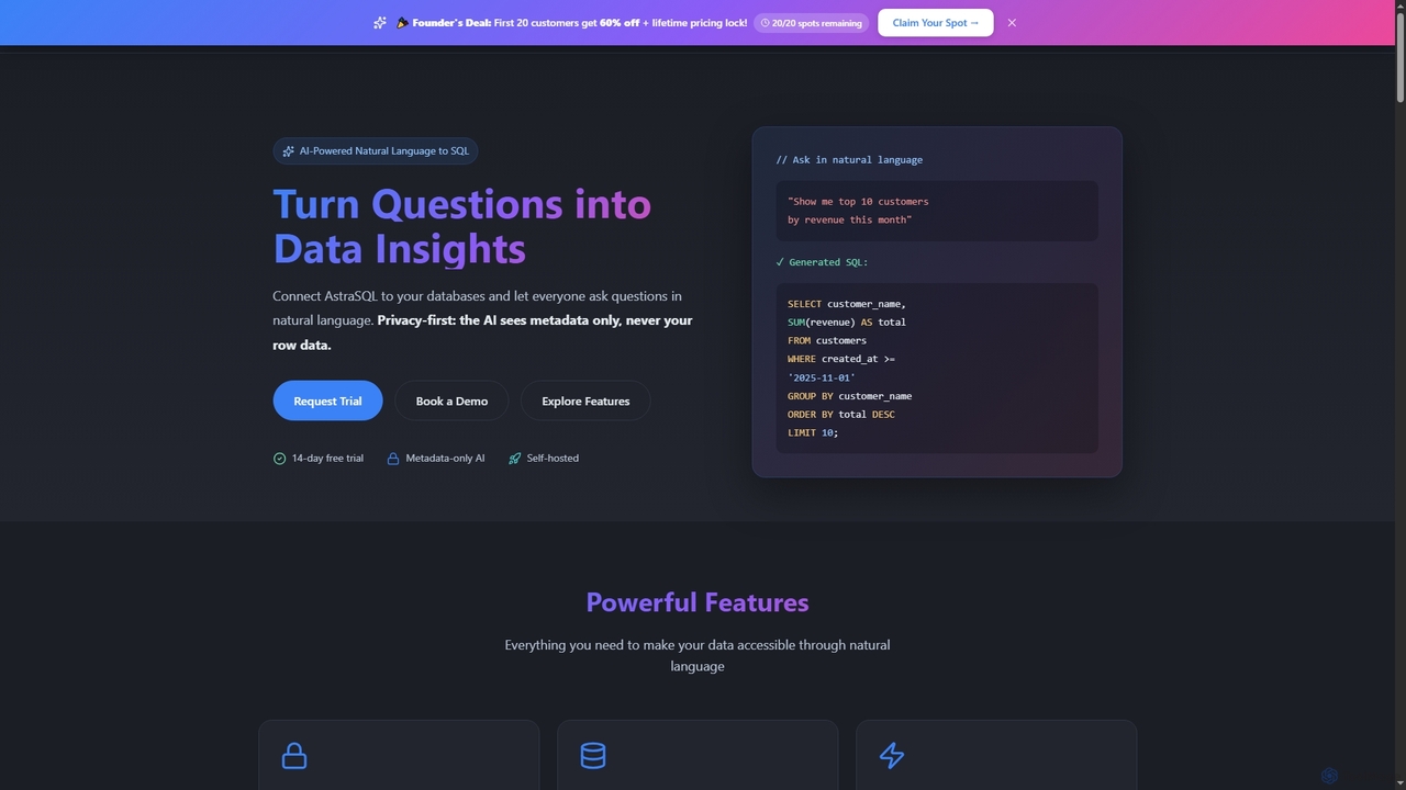
AstraSQL
AstraSQL is an AI-powered agent that transforms natural language queries into complex, correct SQL, enabling privacy-first database analytics. …
AstraSQL is an AI-powered agent that transforms natural language queries into complex, correct SQL, enabling privacy-first database analytics. It supports multiple databases, offers interactive dashboards, and ensures enterprise-grade security, making data accessible to non-technical users.
Satlas
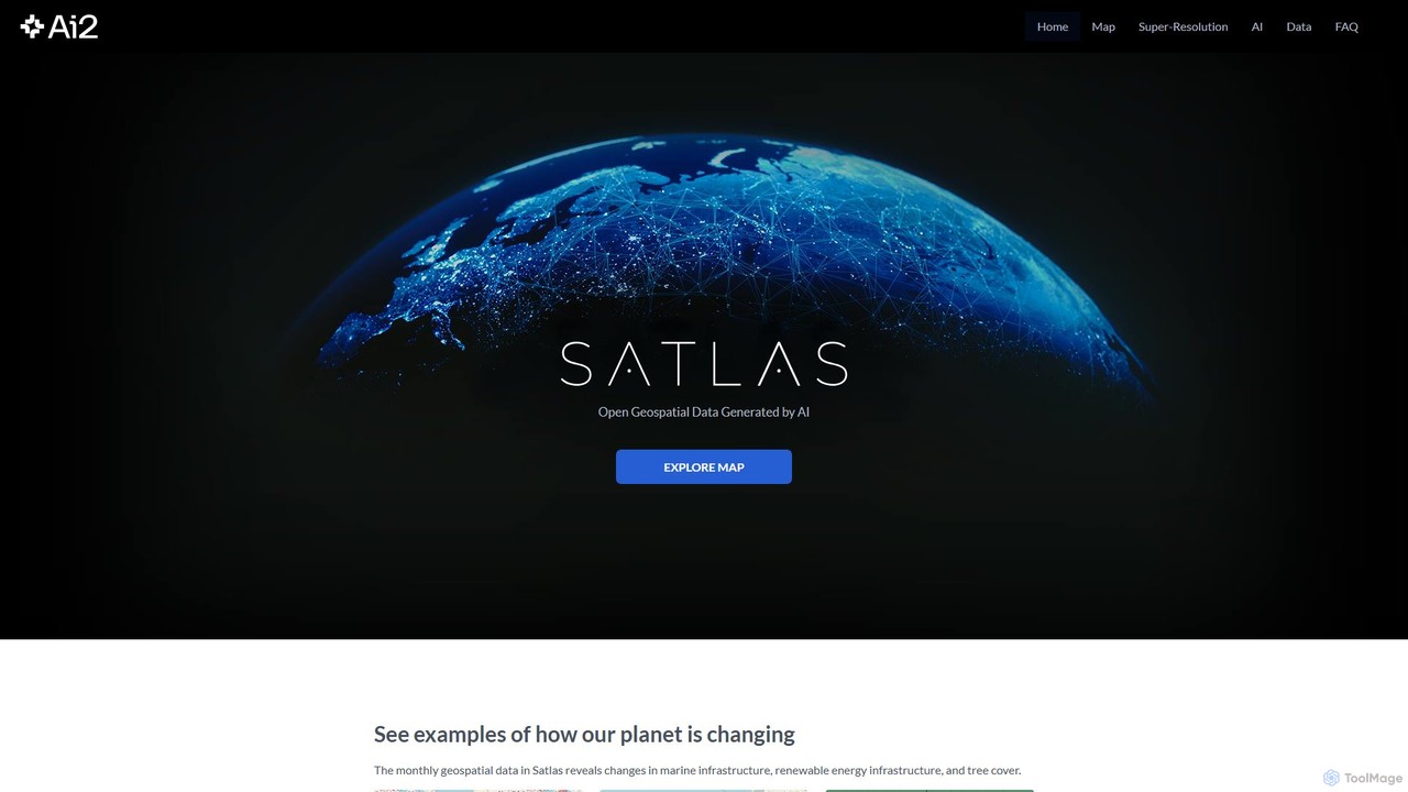
Satlas is an AI-powered platform by the Allen Institute for AI that provides open, high-resolution geospatial data. It …
Satlas is an AI-powered platform by the Allen Institute for AI that provides open, high-resolution geospatial data. It uses advanced computer vision models to analyze global satellite imagery, tracking changes in tree cover, renewable energy, and marine infrastructure. Its key feature is Super-Resolution, which enhances low-resolution images for detailed analysis.

Inpainter
An open-source AI inpainting tool that uses Ideogram v2 and Replicate's API to remove, replace, or repaint parts …
An open-source AI inpainting tool that uses Ideogram v2 and Replicate's API to remove, replace, or repaint parts of any image. Erase unwanted objects, text, or blemishes with powerful generative fill directly in your browser.
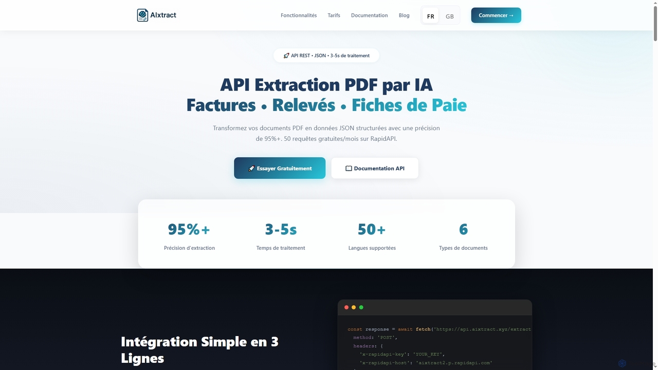
AIxtract
AIxtract is an AI-powered PDF data extraction API that converts unstructured PDF documents like invoices, bank statements, and …
AIxtract is an AI-powered PDF data extraction API that converts unstructured PDF documents like invoices, bank statements, and payslips into structured JSON data with over 95% accuracy. It supports more than 50 languages and processes documents in 3-5 seconds, offering a simple REST API for quick integration.
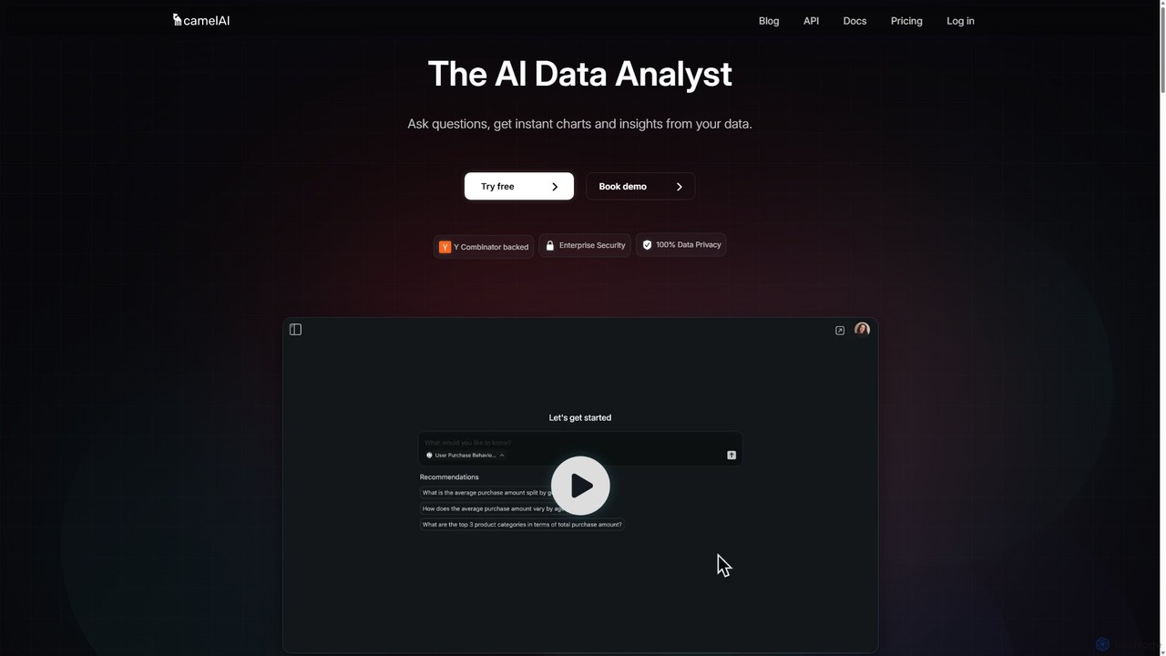
camelAI
camelAI is an AI-powered data analysis platform that enables users to query their databases using natural language. It …
camelAI is an AI-powered data analysis platform that enables users to query their databases using natural language. It eliminates the need for SQL, providing instant answers with interactive charts and tables, making data-driven decision-making accessible to everyone in an organization.
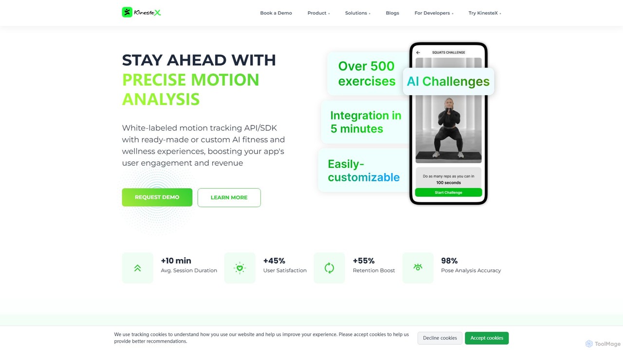
KinesteX
KinesteX is a white-label AI motion tracking SDK that allows developers to integrate real-time, on-device movement analysis into …
KinesteX is a white-label AI motion tracking SDK that allows developers to integrate real-time, on-device movement analysis into fitness, health, and wellness applications. Using just a device's camera, it provides precise form correction, rep counting, and detailed performance metrics to boost user engagement and deliver personalized experiences.
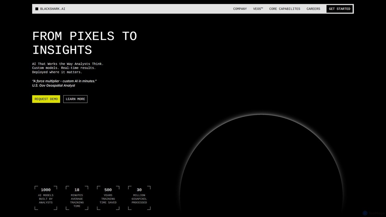
blackshark.ai
blackshark.ai is an AI-powered Visual Earth Operating System (VEOS) that transforms satellite, aerial, and drone imagery into actionable …
blackshark.ai is an AI-powered Visual Earth Operating System (VEOS) that transforms satellite, aerial, and drone imagery into actionable 2D/3D geospatial intelligence and realistic simulations. It empowers analysts to rapidly train custom AI models for detection, classification, and monitoring, serving the defense, infrastructure, and autonomy sectors with unprecedented speed and flexibility.
Flypix Category
Flypix Tag
Flypix AI Tool Comparison
Flypix Embed Feature
Just copy the embed code below and paste this beautiful badge on your blog, article, or official app website to drive traffic directly to this tool's detail page and quickly boost your exposure and user count!

No comments yet, be the first to comment!