Picterra
Picterra is a GeoAI platform that transforms satellite and aerial imagery into actionable environmental intelligence. It enables sustainability, …
Picterra is a GeoAI platform that transforms satellite and aerial imagery into actionable environmental intelligence. It enables sustainability, agriculture, and compliance teams to monitor global operations, detect risks like deforestation, and verify land use at scale. With its no-code interface, users can build custom AI models to automate analysis and make data-driven decisions for ESG reporting, supply chain management, and climate resilience.
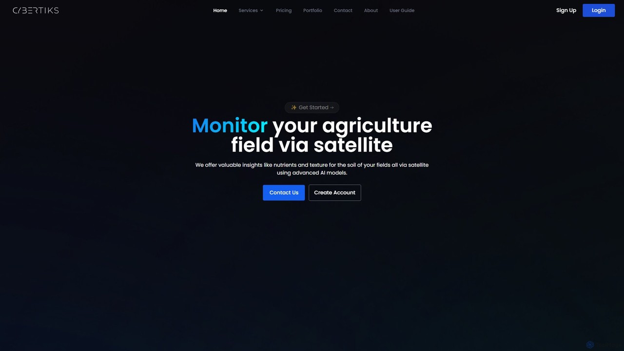
Cybertiks
Cybertiks is an advanced AI platform that leverages satellite imagery and remote sensing for in-depth analysis in agriculture, …
Cybertiks is an advanced AI platform that leverages satellite imagery and remote sensing for in-depth analysis in agriculture, mining, and environmental management. It provides valuable insights into soil nutrients, mineral deposits, and field health, enabling data-driven decision-making for various industries. By integrating multiple data sources and advanced AI models, Cybertiks delivers tailored, high-accuracy solutions for resource monitoring and management.

Picterra
Picterra is a GeoAI platform that enables users to analyze satellite and drone imagery to extract insights. It …
Picterra is a GeoAI platform that enables users to analyze satellite and drone imagery to extract insights. It provides a no-code environment for building and deploying object detection models, empowering industries like agriculture, ESG, and infrastructure with scalable environmental intelligence.

Flypix
Flypix is an end-to-end AI platform for geospatial analysis, enabling users to automatically detect, localize, and segment objects …
Flypix is an end-to-end AI platform for geospatial analysis, enabling users to automatically detect, localize, and segment objects in satellite, aerial, and drone imagery. Train custom AI models with no coding required to analyze complex scenes, saving significant time and resources across industries like agriculture, construction, and environmental monitoring.
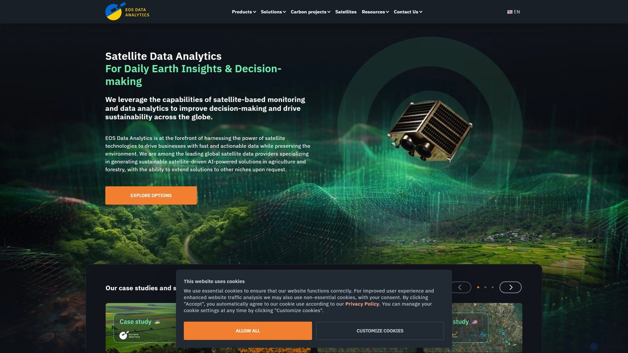
eos
EOS Data Analytics (eos) is an AI-powered platform providing satellite imagery analysis for various industries. It leverages machine …
EOS Data Analytics (eos) is an AI-powered platform providing satellite imagery analysis for various industries. It leverages machine learning to process geospatial data, offering actionable insights for agriculture, forestry, environmental monitoring, and more. The platform helps businesses make data-driven decisions, optimize operations, and mitigate risks through advanced remote sensing technologies.

blackshark.ai
blackshark.ai is an AI-powered Visual Earth Operating System (VEOS) that transforms satellite, aerial, and drone imagery into actionable …
blackshark.ai is an AI-powered Visual Earth Operating System (VEOS) that transforms satellite, aerial, and drone imagery into actionable 2D/3D geospatial intelligence and realistic simulations. It empowers analysts to rapidly train custom AI models for detection, classification, and monitoring, serving the defense, infrastructure, and autonomy sectors with unprecedented speed and flexibility.
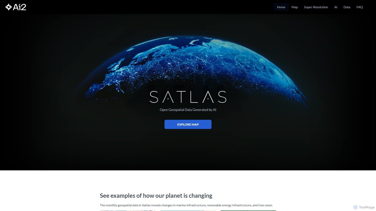
Satlas
Satlas is an AI-powered platform by the Allen Institute for AI that provides open, high-resolution geospatial data. It …
Satlas is an AI-powered platform by the Allen Institute for AI that provides open, high-resolution geospatial data. It uses advanced computer vision models to analyze global satellite imagery, tracking changes in tree cover, renewable energy, and marine infrastructure. Its key feature is Super-Resolution, which enhances low-resolution images for detailed analysis.