
Cybertiks Overview
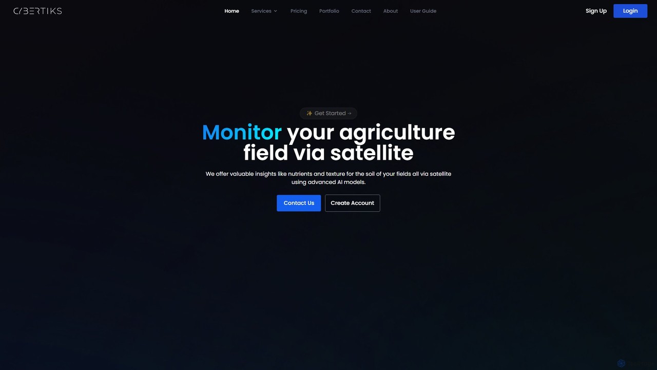
Cybertiks is a multinational technology company specializing in bespoke remote sensing solutions powered by artificial intelligence and satellite imagery. The platform is designed to address the critical needs of diverse industries, including agriculture, mining, environmental management, and oil and gas. By harnessing the power of its proprietary Quantum Spectrometric Intelligence Services (QSIS), Cybertiks can identify, classify, and quantify materials and natural resources from space, offering unparalleled insights with over 80% model accuracy.
The core of Cybertiks' service is its ability to transform raw satellite data into actionable business intelligence. The platform integrates optical, radar, and other sensor data to create a comprehensive and strategic view of any location on Earth. This sensor fusion approach allows for detailed analysis of soil composition, crop health, mineral presence, and environmental changes over time. With a historical archive of satellite data, clients can track changes and trends, enabling better forecasting and planning.
How to use Cybertiks
Cybertiks provides a streamlined process for clients to gain remote insights, typically involving these steps:
- Consultation and Account Setup: Prospective clients contact Cybertiks to discuss their specific needs. A tailored solution is designed, and an account is created on their SaaS platform.
- Define Area of Interest: Users define the geographical area they want to analyze by drawing its outline on a map or entering specific coordinates. This could be an agricultural field, a mining exploration site, or a protected forest area.
- AI-Powered Analysis: Cybertiks' advanced AI models and QSIS technology process vast amounts of satellite and sensor data for the defined area. The system analyzes spectrographic fingerprints to detect and quantify specific elements or metrics.
- Access Insights and Visualization: Analysis results are delivered through a user-friendly dashboard. Clients can view data visualized on a map with a resolution of up to 100m², access detailed reports, and monitor changes. New results are typically provided every 7 days.
- Continuous Monitoring and Integration: The platform provides ongoing monitoring, allowing clients to track status changes and make timely decisions. Data can also be integrated into existing client systems via custom software solutions developed by the Cybertiks team.
Core Features of Cybertiks
- Quantum Spectrometric Intelligence Services (QSIS): Utilizes thermodynamic information from electromagnetic sensors to identify, classify, and quantify materials, minerals, and natural resources with high precision.
- AI-Driven Remote Sensing: Employs advanced AI models trained on thousands of fields to analyze satellite imagery, providing insights on soil nutrients, texture, crop health, and more.
- Historical Data Analysis: Access to historical satellite archives allows for trend analysis and viewing past metrics for any field or area of interest.
- Sensor Fusion and Data Integration: Integrates data from multiple sources, including optical satellites, radar, drones, and weather balloons, for a complete and strategic vision.
- High-Resolution Mapping and Visualization: Presents analysis results on interactive maps with a resolution of up to 100m², making it easy to understand and act upon the data.
- Custom SaaS and Software Development: Offers tailored software solutions, building custom front-end and back-end architectures to meet specific client needs.
- Regular Monitoring: Provides updated analysis and results every 7 days to keep clients informed of the latest changes in their fields of interest.
Use Cases for Cybertiks
Cybertiks' technology is applicable across a wide range of industries:
- Precision Agriculture: Farmers and agribusinesses can monitor crop health, optimize fertilizer and water usage by analyzing soil nutrient levels, and predict yields more accurately.
- Mining and Exploration: Mining companies can remotely identify and quantify mineral deposits, reducing the cost and risk of physical exploration.
- Environmental Management: Governments and NGOs can monitor deforestation, track water pollution, assess land degradation, and manage natural resources more effectively.
- Oil and Gas: Companies can monitor infrastructure, assess environmental impact, and manage resources in remote locations.
Advantages of Cybertiks
Cybertiks offers a distinct competitive edge through its innovative approach:
- High Accuracy: AI models are validated and tested to offer over 80% accuracy, ensuring reliable data for critical decisions.
- Bespoke Solutions: Every solution is tailored to the specific needs of the client and field, ensuring maximum relevance and value.
- Cost-Effectiveness: Remote analysis via satellite significantly reduces the need for expensive and time-consuming on-site inspections.
- Comprehensive Insights: The sensor fusion methodology provides a holistic view that a single data source cannot offer.
- Experienced Team: With over 10 years of experience and a multinational team of experts, Cybertiks delivers robust and innovative solutions.
Pricing and Plans
Cybertiks operates on a bespoke B2B model. Pricing is not publicly listed and is tailored to the specific requirements, scale, and complexity of each project. Potential clients are encouraged to contact the Cybertiks team directly through their website to discuss their needs and receive a custom quote for their tailored solution.
Traffic
Latest traffic
Status
Monthly traffic trend
- 2025-9: 400
- 2026-1: 0
- 2026-2: 0
- 2026-3: 838
- 2026-4: 166
- 2026-5: 90
Geography
Top 5 countries / regions
- 🇧🇷Brazil100.0%
Top keywords
| Keyword | Cost per click |
|---|---|
| piktiks | $0.00 |
Cybertiks Alternatives
DataKriB
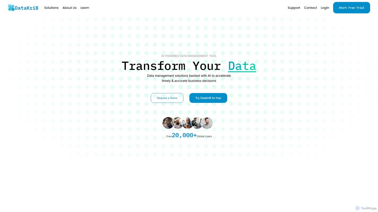
DataKriB is an AI-powered data management platform that seamlessly integrates data from multiple sources like AWS, Azure, and Salesforce. It uses its proprietary KriB AI engine to provide automated insights, predictive modeling, and real-time recommendations, helping businesses eliminate data silos and accelerate data-driven decision-making for growth.
Analytics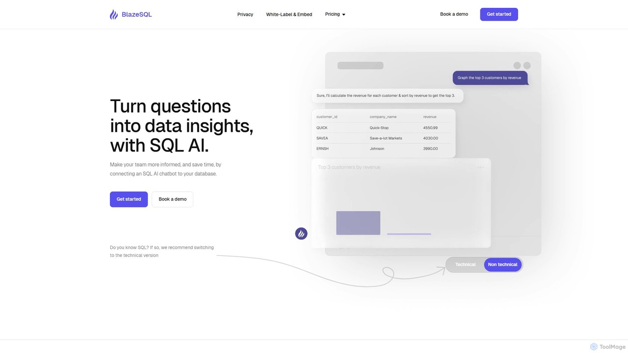
BlazeSQL
BlazeSQL is an AI-powered data analyst that connects to your database, allowing anyone on your team to ask questions in natural language and receive SQL queries, data insights, and visualizations in seconds. It streamlines data access, automates reporting, and empowers both technical and non-technical users to make data-driven decisions without needing to write code.
Analytics
Textify Analytics
Textify Analytics is an AI-powered data analysis platform that transforms raw text and numerical data into actionable insights. Designed for students, analysts, and businesses, it offers intuitive tools for market research, recruiting intelligence, and data-driven decision-making, supported by a vast database of charts and analytics.
Analytics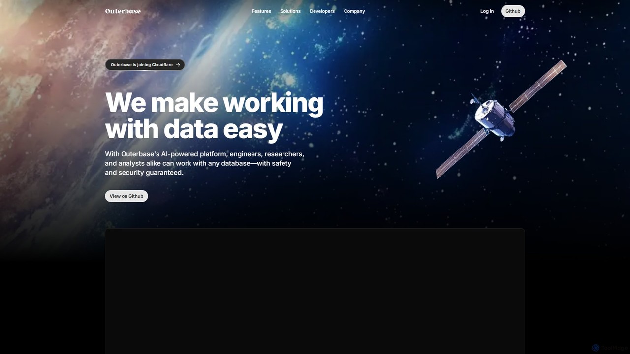
Outerbase
Outerbase is an AI-powered interface for your database, providing a modern, all-in-one platform for data interaction, analysis, and visualization. It allows users to ask questions in natural language (EZQL™), build dashboards, and manage data across various SQL and NoSQL databases with robust security and collaboration features.
Analytics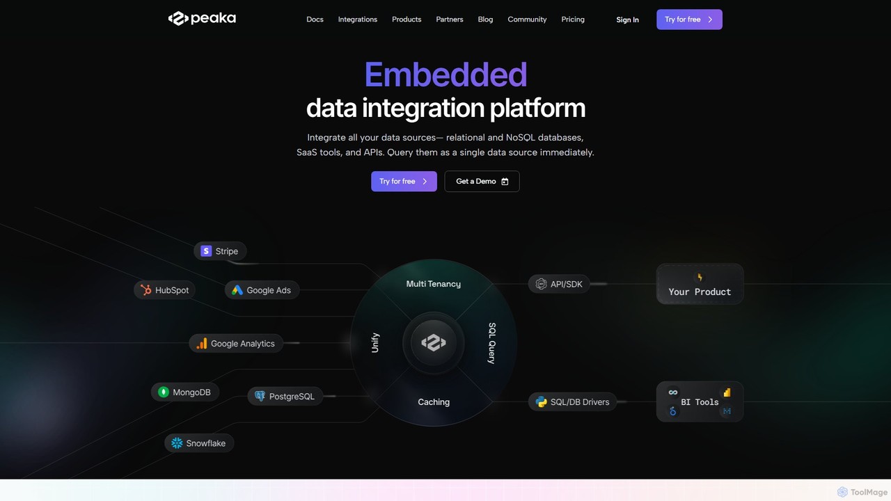
Peaka
Peaka is a zero-ETL data integration platform that unifies disparate data sources like databases, SaaS tools, and APIs into a single, queryable layer. It enables real-time data access and analysis using SQL or an AI-powered query generator, eliminating the need for complex data pipelines and warehouses. It's designed to democratize data for businesses of all sizes.
AnalyticsCybertiks Categories
Cybertiks Embed Widget
Copy this embed code to place the badge on your blog, article, or product site and send readers directly to this ToolMage detail page.

Related AI tools
eos
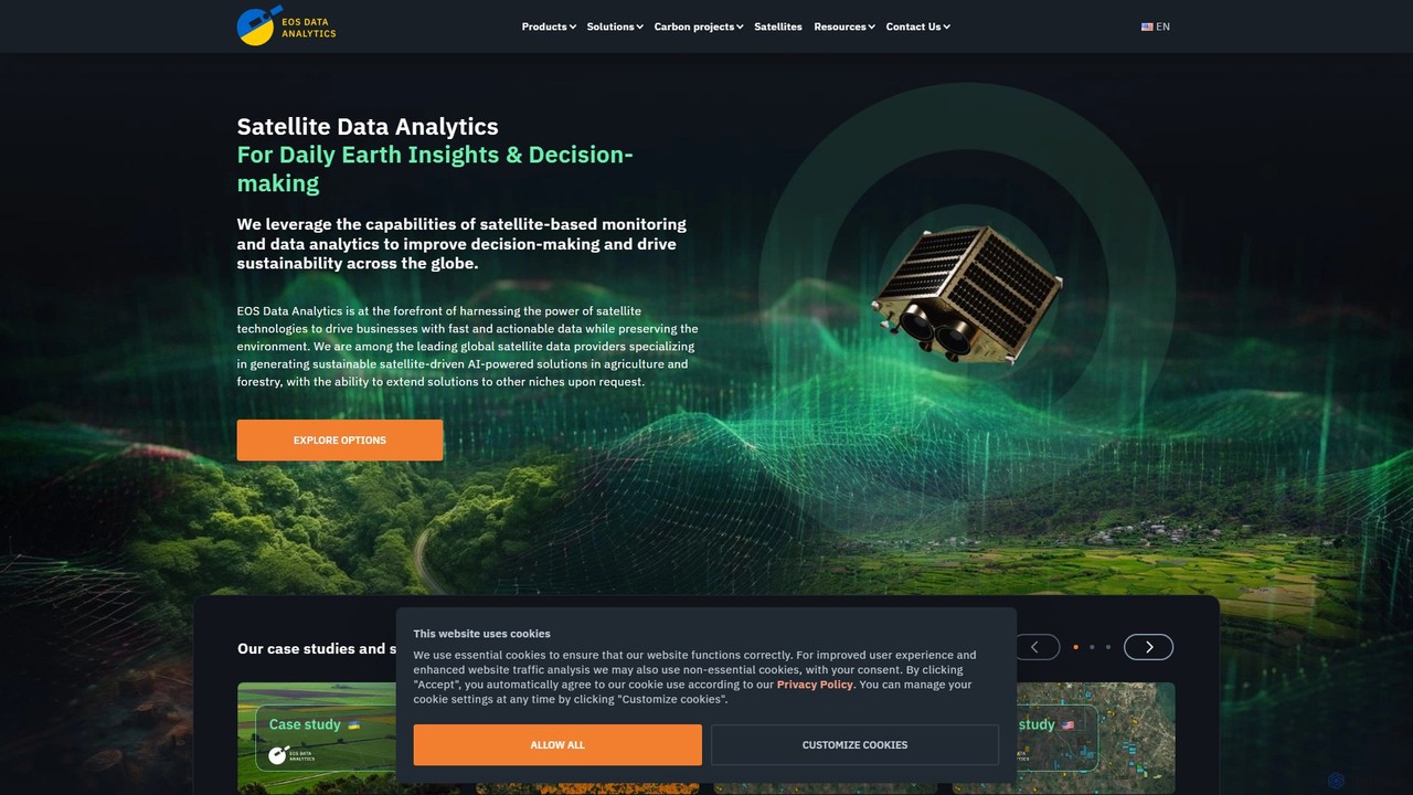
EOS Data Analytics (eos) is an AI-powered platform providing satellite imagery analysis for various industries. It leverages machine learning to process geospatial data, offering actionable insights for agriculture, forestry, environmental monitoring, and more. The platform helps businesses make data-driven decisions, optimize operations, and mitigate risks through advanced remote sensing technologies.
Agriculture
Flypix
Flypix is an end-to-end AI platform for geospatial analysis, enabling users to automatically detect, localize, and segment objects in satellite, aerial, and drone imagery. Train custom AI models with no coding required to analyze complex scenes, saving significant time and resources across industries like agriculture, construction, and environmental monitoring.
3D
Picterra
Picterra is a GeoAI platform that enables users to analyze satellite and drone imagery to extract insights. It provides a no-code environment for building and deploying object detection models, empowering industries like agriculture, ESG, and infrastructure with scalable environmental intelligence.
Environmental Social Governance
instacrops
Instacrops is an AI-powered AgTech platform that acts as a virtual agricultural advisor. It combines IoT sensors, satellite imagery, and AI to provide real-time data and actionable recommendations on irrigation, nutrients, pests, and diseases. This helps farmers optimize resource usage, minimize risks, and maximize crop profitability and yield.
Precision Farming
SeeTree
SeeTree is an AI-powered intelligence platform for permanent crop growers. It utilizes drones, computer vision, and machine learning to deliver per-tree data on health, yield, and growth, enabling farmers to optimize operations, increase profitability, and make data-driven decisions.
Precision Farming
Polymath Robotics
Polymath Robotics provides a modular software platform to accelerate the development of autonomy for off-highway industrial vehicles. Its software-first, vehicle-agnostic approach simplifies automation for sectors like agriculture, mining, logistics, and defense, making it faster and more cost-effective to deploy autonomous fleets.
Industrial Automation
Satlas
Satlas is an AI-powered platform by the Allen Institute for AI that provides open, high-resolution geospatial data. It uses advanced computer vision models to analyze global satellite imagery, tracking changes in tree cover, renewable energy, and marine infrastructure. Its key feature is Super-Resolution, which enhances low-resolution images for detailed analysis.
Geospatial
Picterra
Picterra is a GeoAI platform that transforms satellite and aerial imagery into actionable environmental intelligence. It enables sustainability, agriculture, and compliance teams to monitor global operations, detect risks like deforestation, and verify land use at scale. With its no-code interface, users can build custom AI models to automate analysis and make data-driven decisions for ESG reporting, supply chain management, and climate resilience.
Precision FarmingDataKriB
DataKriB is an AI-powered data management platform that seamlessly integrates data from multiple sources like AWS, Azure, and Salesforce. It uses its proprietary KriB AI engine to provide automated insights, predictive modeling, and real-time recommendations, helping businesses eliminate data silos and accelerate data-driven decision-making for growth.
Analytics
Zeitview
Zeitview provides AI-powered asset intelligence and visualization for critical infrastructure. By combining aerial data capture from drones and aircraft with advanced analytics, it offers actionable insights for the solar, wind, property, telecom, and utility industries, helping optimize performance, reduce costs, and enhance safety.
Asset Management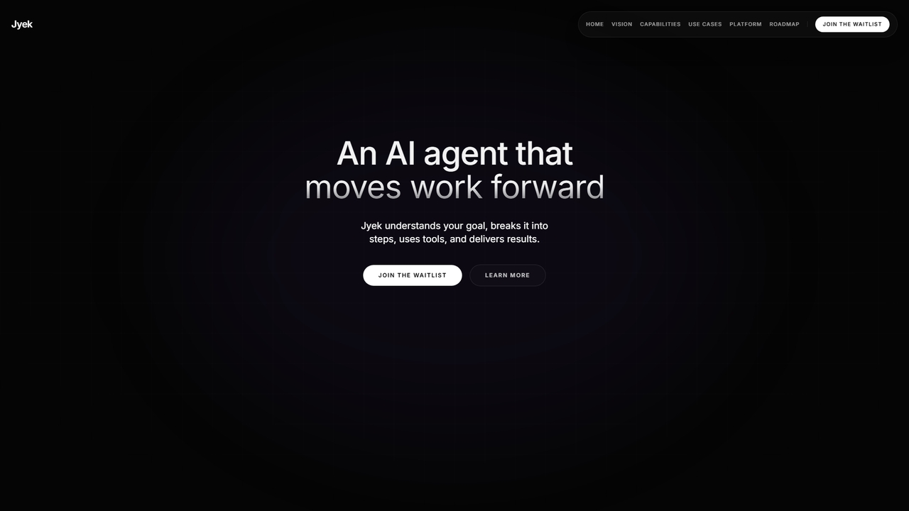
Jyek
Jyek is an AI agent platform that understands objectives, creates execution plans, uses tools, and delivers verifiable results for complex, multi-step tasks.
Automation
Spate
Spate is an AI-driven market research and consumer trend forecasting platform. It analyzes billions of data points from search and social media to identify the next big consumer trends, helping brands make data-driven decisions for product development, marketing, and innovation.
Trend Analysis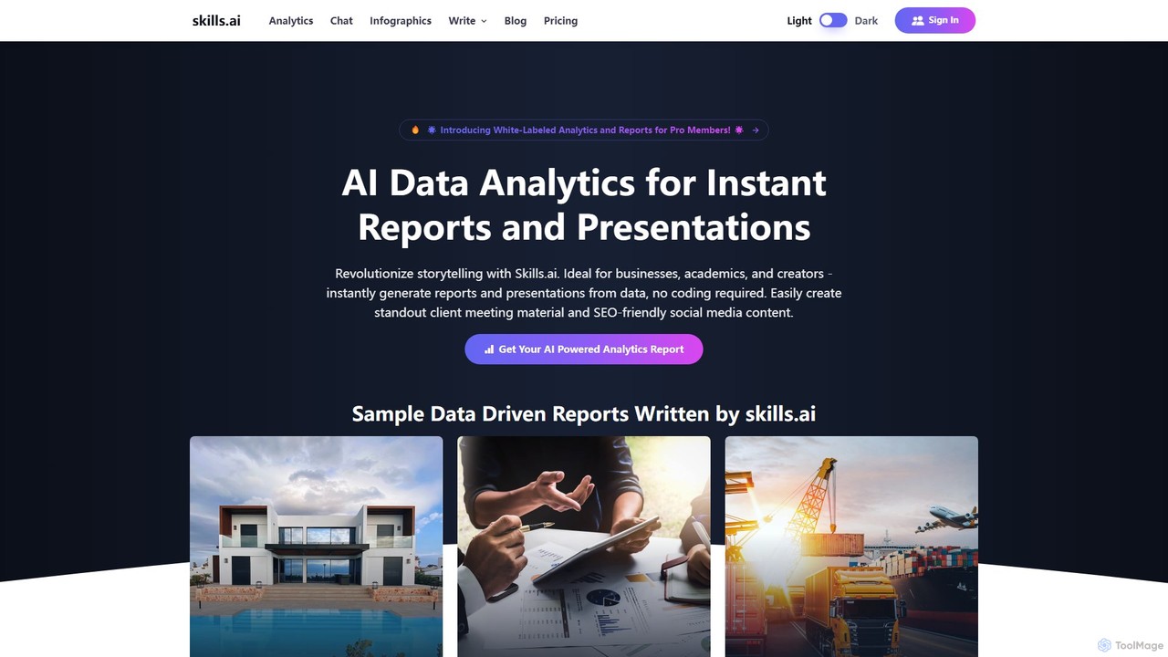
skills.ai
skills.ai is an AI-powered analytics platform that transforms raw data into insightful reports, visualizations, and professional presentations in minutes. Designed for businesses, academics, and creators, it requires no coding skills. Users can upload data, ask questions via a chat interface, and automatically generate comprehensive analyses and Apple Keynote-style slides, streamlining the entire data-to-insight workflow.
Reporting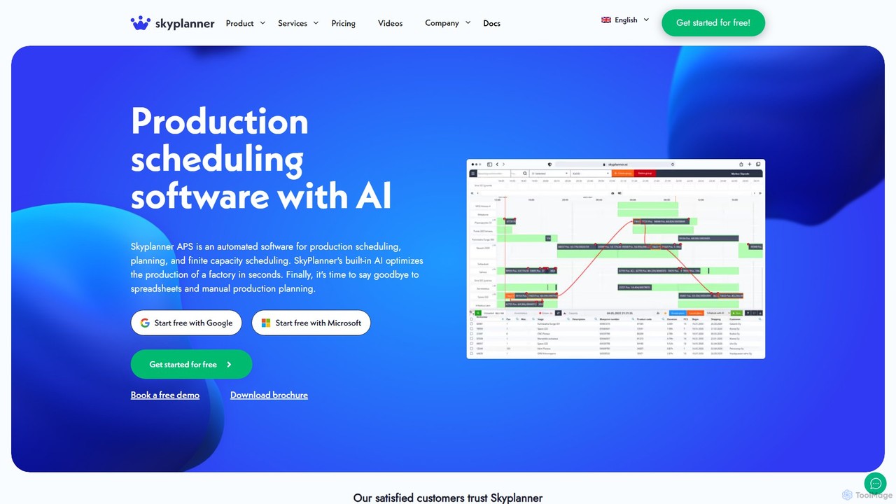
SkyPlanner
SkyPlanner is an AI-powered Advanced Planning and Scheduling (APS) system designed for the manufacturing industry. It uses its 'Arcturus' AI to calculate and optimize complex production plans in seconds, reacting to real-time changes like a GPS. By integrating with any ERP system, it maximizes facility capacity, improves delivery reliability, and replaces inefficient manual scheduling.
Operations Management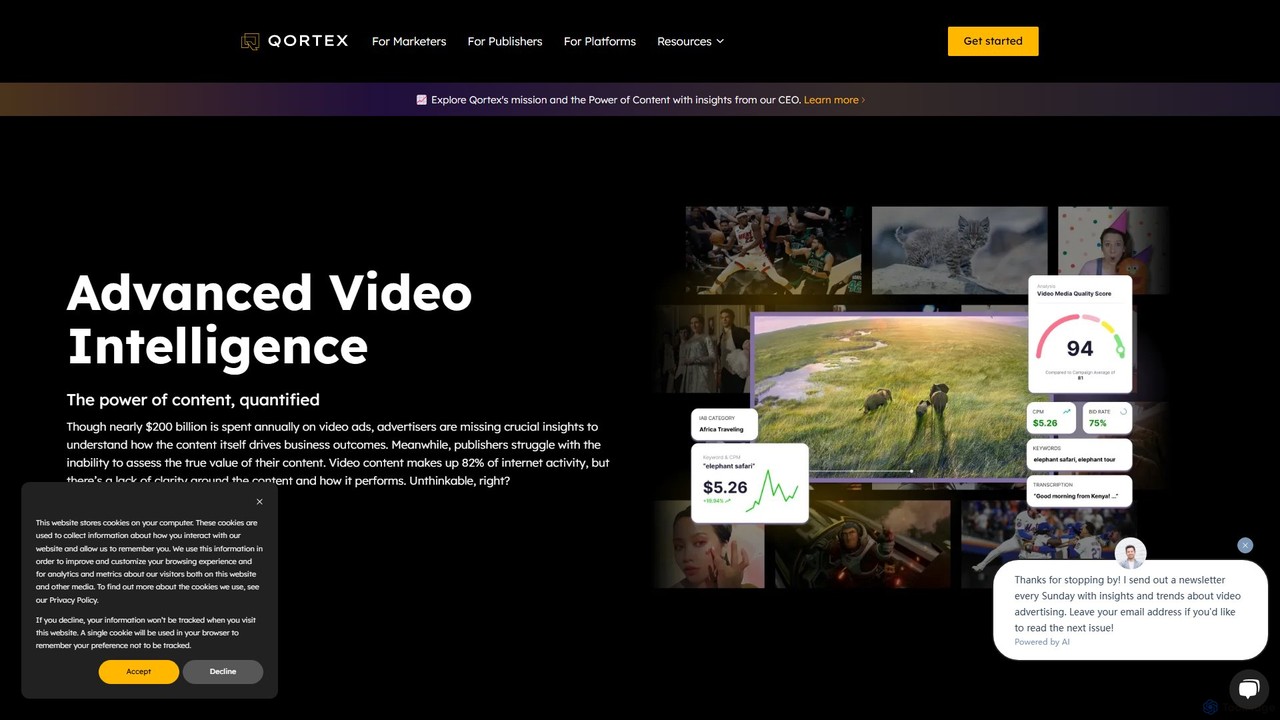
Qortex
Qortex is an advanced AI video intelligence platform designed for media, advertising, and monetization. It performs deep, frame-by-frame analysis of video content to extract qualitative insights, enabling highly effective contextual targeting. For publishers, it offers innovative, non-intrusive ad formats like On-Stream to maximize revenue, while advertisers can achieve significantly higher performance by aligning ads with relevant real-time content.
Analytics
Cybertiks Comments (0)
Sign in to comment.
Sign inNo comments yet.