

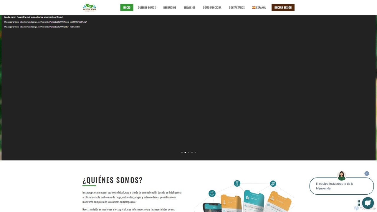
instacrops Overview
Instacrops is a pioneering AgTech platform designed to function as a virtual agricultural advisor, revolutionizing modern farming through data and artificial intelligence. It addresses the core challenges of agriculture by transforming complex field data into clear, concrete recommendations. By integrating advanced technologies like the Internet of Things (IoT), AI, Deep Learning, and satellite remote sensing, Instacrops provides a comprehensive, real-time overview of crop conditions. The platform's mission is to empower farmers with timely information about their crops' needs, enabling them to make precise decisions that optimize the use of critical resources like water and fertilizers, ultimately minimizing risks and maximizing harvest yields and profitability.
How to use instacrops
Getting started with Instacrops is a structured process designed for seamless integration into any farming operation:
- Consultation and Planning: The process begins with a consultation with the Instacrops team. They assess your farm's specific characteristics, including geography, soil types, and crop varieties, to recommend a tailored solution.
- Hardware Installation: Instacrops provides Plug & Play IoT devices that are easy to install. This includes weather stations (InstaWeather), soil moisture and temperature probes (InstaSoil), and irrigation control systems (InstaFlow). Installation is quick, typically taking about half a day per station, ensuring minimal disruption.
- Real-Time Data Collection: Once installed, the network of sensors begins collecting critical data every 15 minutes. This includes climate parameters, soil moisture levels at various depths, soil conductivity, and irrigation system performance.
- Data Processing and Analysis: The collected data is transmitted wirelessly to the Instacrops cloud platform. Here, powerful AI and machine learning algorithms process the information, integrating it with satellite imagery data from the Skycrops service.
- Access and Visualization: Farmers can access all processed information through a user-friendly web platform or a dedicated mobile app. The dashboard presents data in intuitive formats, such as graphs, charts, and maps, along with predictive models for frost, degree days, and more.
- Actionable Recommendations: The platform doesn't just show data; it provides actionable advice. For example, it recommends precise irrigation schedules (when and how much to water) based on soil moisture depletion and crop needs. A team of IT agronomists is also available for virtual advisory.
Core Features of instacrops
- Real-Time Monitoring with IoT Sensors: Deploys a range of hardware including InstaWeather stations for climate data, InstaSoil probes for multi-depth soil analysis, and InstaFlow for irrigation system monitoring.
- AI-Powered Virtual Advisory: Utilizes AI and Deep Learning to analyze data and provide concrete recommendations on irrigation, nutrient management, and pest/disease control.
- Satellite Imagery Analysis (Skycrops): Offers access to satellite data with key vegetation indices like NDVI, NDWI, SAVI, and GNDVI to assess crop health, water stress, and biomass across large areas.
- Integrated Data Platform: A centralized web and mobile application for visualizing all data, setting custom alerts (e.g., for frost), generating reports, and managing farm operations remotely.
- Irrigation Management and Control: The InstaFlow service allows for remote monitoring, control, and scheduling of irrigation systems, leading to significant water and energy savings.
- Predictive Analytics: Calculates and forecasts key agricultural metrics such as Evapotranspiration (ETo), degree days, and chill hours to help farmers anticipate crop needs and environmental challenges.
- Expert Agronomic Support: Backed by a team of agronomists who assist with setup, data interpretation, and provide ongoing expert advice.
Use Cases for instacrops
Instacrops is versatile and can be applied to a wide range of agricultural scenarios:
- Precision Irrigation: Farmers can use InstaSoil data to avoid over- or under-watering, applying the exact amount of water needed at the root zone, saving up to 50% in water and energy costs.
- Large-Scale Crop Health Monitoring: Agribusinesses managing vast tracts of land can use Skycrops satellite imagery to quickly identify problem areas suffering from water stress or potential disease outbreaks without extensive manual scouting.
- Frost Prevention: Vineyards and fruit orchards can leverage InstaWeather's real-time temperature monitoring and frost alerts to activate protection systems in a timely manner, saving valuable crops.
- Optimized Fertilization: By analyzing GNDVI and other indices, farmers can better understand the nitrogen and water uptake of their crops, leading to more efficient and cost-effective fertilizer application.
- Yield and Quality Improvement: By maintaining optimal soil moisture and nutrient levels throughout the crop cycle, users report not only higher yields but also improved product quality.
Advantages of instacrops
The platform offers significant competitive advantages:
- Increased Profitability: By optimizing inputs and increasing yields, the platform directly boosts the farm's bottom line.
- Resource Optimization: Drastically reduces the consumption of water, energy, and fertilizers, promoting sustainable agriculture.
- Risk Mitigation: Early warnings for frost, pests, and diseases allow for proactive measures, reducing crop loss.
- Data-Driven Decisions: Replaces guesswork with scientific data, leading to more consistent and reliable farming outcomes.
- User-Friendly and Accessible: The platform is designed for ease of use, requiring no special software installation and accessible from any internet-connected device.
- Complete End-to-End Solution: Instacrops provides the hardware, software, data analysis, and expert support in one integrated package.
Pricing and Plans
Instacrops operates on a customized pricing model tailored to the specific needs of each farm. Pricing is not publicly listed and is provided through a personalized quote. Interested customers are encouraged to contact the Instacrops sales team to request a demo or a quote. The final cost depends on factors such as the size of the operation, the type and quantity of IoT devices required (e.g., InstaWeather, InstaSoil), and the specific services selected. This bespoke approach ensures that farmers invest only in the tools and capabilities that will deliver the most value to their operation.
Traffic
Latest traffic
Status
Monthly traffic trend
- 2025-9: 1.8K
- 2026-1: 1.5K
- 2026-2: 129
- 2026-3: 361
- 2026-4: 1.3K
- 2026-5: 291
Geography
Top 5 countries / regions
- 🇨🇱Chile100.0%
Top keywords
| Keyword | Cost per click |
|---|---|
| instacrops | $0.76 |
| instacrops copeval | $0.00 |
instacrops Alternatives
SeeTree
SeeTree is an AI-powered intelligence platform for permanent crop growers. It utilizes drones, computer vision, and machine learning to deliver per-tree data on health, yield, and growth, enabling farmers to optimize operations, increase profitability, and make data-driven decisions.
Precision Farming
Cybertiks
Cybertiks is an advanced AI platform that leverages satellite imagery and remote sensing for in-depth analysis in agriculture, mining, and environmental management. It provides valuable insights into soil nutrients, mineral deposits, and field health, enabling data-driven decision-making for various industries. By integrating multiple data sources and advanced AI models, Cybertiks delivers tailored, high-accuracy solutions for resource monitoring and management.
Analytics
Picterra
Picterra is a GeoAI platform that transforms satellite and aerial imagery into actionable environmental intelligence. It enables sustainability, agriculture, and compliance teams to monitor global operations, detect risks like deforestation, and verify land use at scale. With its no-code interface, users can build custom AI models to automate analysis and make data-driven decisions for ESG reporting, supply chain management, and climate resilience.
Precision Farming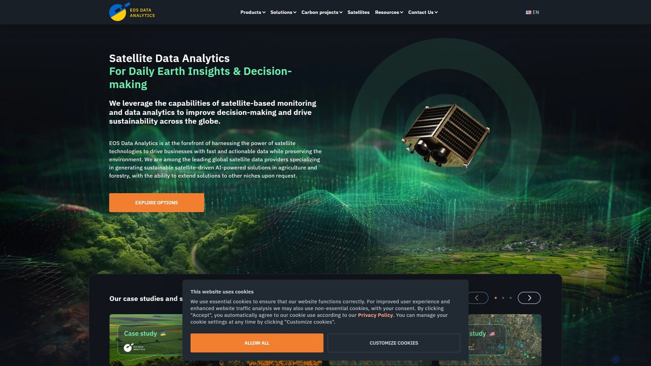
eos
EOS Data Analytics (eos) is an AI-powered platform providing satellite imagery analysis for various industries. It leverages machine learning to process geospatial data, offering actionable insights for agriculture, forestry, environmental monitoring, and more. The platform helps businesses make data-driven decisions, optimize operations, and mitigate risks through advanced remote sensing technologies.
Agriculture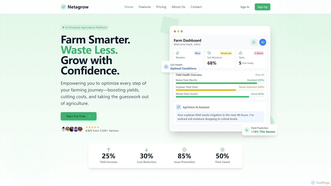
Netagrow
Netagrow is an AI-powered agriculture platform designed to simplify farm management. It empowers farmers to increase yields, reduce costs, and make data-driven decisions by providing tools for soil health monitoring, crop management, weather intelligence, and a 24/7 AI assistant.
Agricultureinstacrops Categories
instacrops Embed Widget
Copy this embed code to place the badge on your blog, article, or product site and send readers directly to this ToolMage detail page.

Related AI tools
SeeTree
SeeTree is an AI-powered intelligence platform for permanent crop growers. It utilizes drones, computer vision, and machine learning to deliver per-tree data on health, yield, and growth, enabling farmers to optimize operations, increase profitability, and make data-driven decisions.
Precision FarmingCybertiks
Cybertiks is an advanced AI platform that leverages satellite imagery and remote sensing for in-depth analysis in agriculture, mining, and environmental management. It provides valuable insights into soil nutrients, mineral deposits, and field health, enabling data-driven decision-making for various industries. By integrating multiple data sources and advanced AI models, Cybertiks delivers tailored, high-accuracy solutions for resource monitoring and management.
Analyticseos
EOS Data Analytics (eos) is an AI-powered platform providing satellite imagery analysis for various industries. It leverages machine learning to process geospatial data, offering actionable insights for agriculture, forestry, environmental monitoring, and more. The platform helps businesses make data-driven decisions, optimize operations, and mitigate risks through advanced remote sensing technologies.
AgricultureNetagrow
Netagrow is an AI-powered agriculture platform designed to simplify farm management. It empowers farmers to increase yields, reduce costs, and make data-driven decisions by providing tools for soil health monitoring, crop management, weather intelligence, and a 24/7 AI assistant.
Agriculture
Picterra
Picterra is a GeoAI platform that enables users to analyze satellite and drone imagery to extract insights. It provides a no-code environment for building and deploying object detection models, empowering industries like agriculture, ESG, and infrastructure with scalable environmental intelligence.
Environmental Social Governance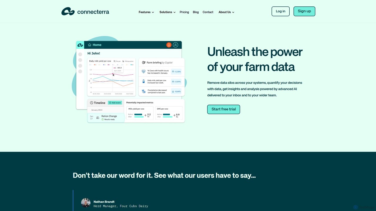
Connecterra
Connecterra is an AI-powered data platform for the dairy industry. It integrates data from various farm systems, providing advanced analytics, automated operational summaries (Copilot), and decision support tools. Farmers and advisors can visualize data, track the impact of their decisions, and receive AI-driven insights to boost productivity and sustainability.
Dairy Farming
Salesforce
Salesforce is the world's #1 Customer Relationship Management (CRM) platform, enhanced with Einstein AI to help businesses of all sizes connect with their customers in a smarter way. It provides integrated solutions for sales, service, marketing, commerce, and IT, using AI to automate tasks, predict outcomes, and deliver personalized experiences.
Business Intelligence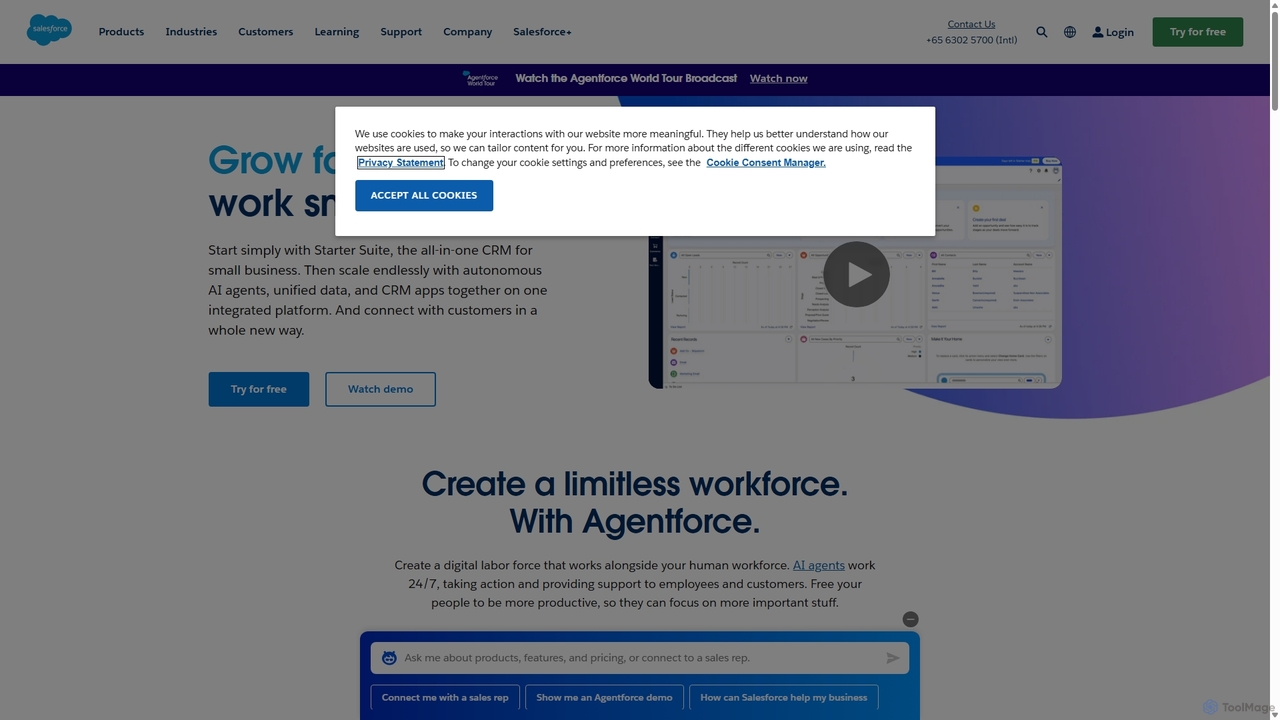
Salesforce
Salesforce is the world's #1 AI-powered Customer Relationship Management (CRM) platform. It helps businesses of all sizes connect with their customers in a whole new way by unifying sales, service, marketing, commerce, and IT on a single, shared platform called Customer 360. With integrated AI like Einstein and Agentforce, it provides intelligent insights and automation to drive efficiency and growth.
Sales Automation
Microsoft Power BI
Microsoft Power BI is a leading business analytics and data visualization platform that empowers users to connect to, model, and visualize their data. It leverages AI-powered features like natural language Q&A and automated insights to uncover hidden patterns, create interactive reports and dashboards, and facilitate data-driven decision-making across an organization.
Business Intelligence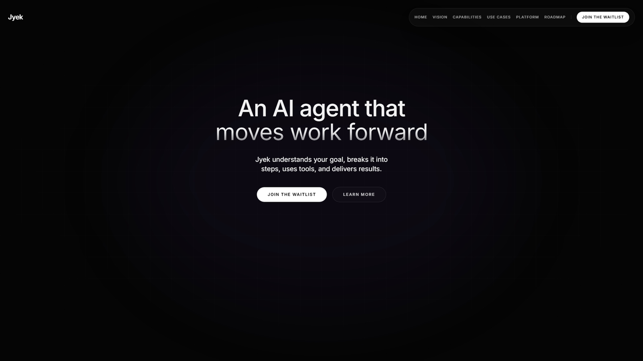
Jyek
Jyek is an AI agent platform that understands objectives, creates execution plans, uses tools, and delivers verifiable results for complex, multi-step tasks.
Automation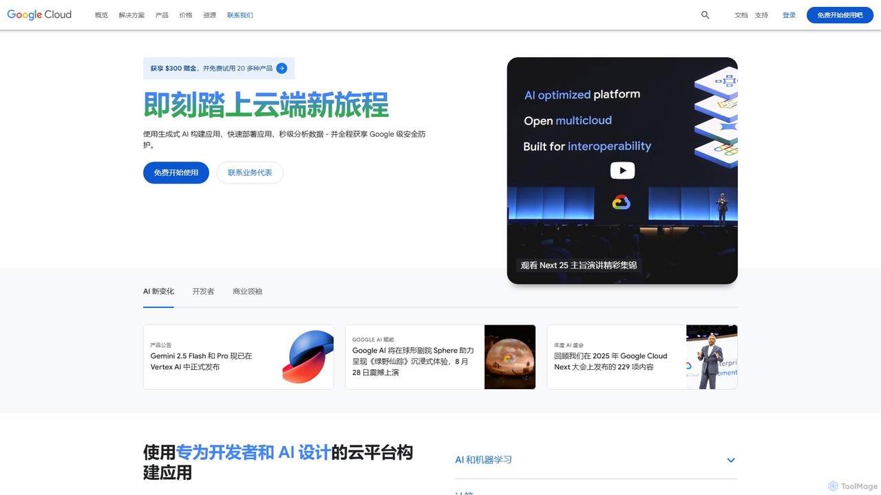
Google Cloud
Google Cloud is a comprehensive suite of cloud computing services that provides infrastructure, platform, and serverless environments. It excels in AI/ML with Vertex AI and Gemini, data analytics with BigQuery, and offers scalable, secure infrastructure for businesses of all sizes, from startups to global enterprises.
Machine Learning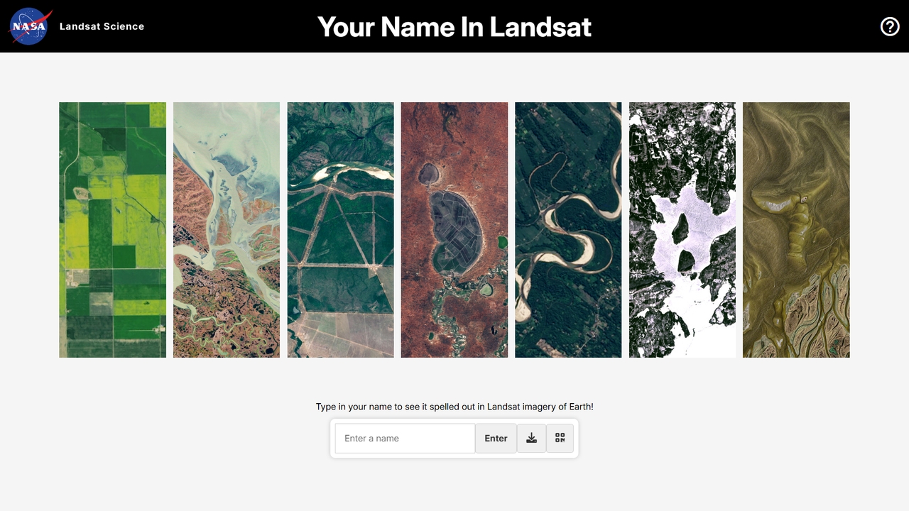
Your Name in Landsat
Type your name to see it spelled out in NASA and USGS Landsat satellite imagery spanning over 50 years. A free, interactive Earth science tool.
Science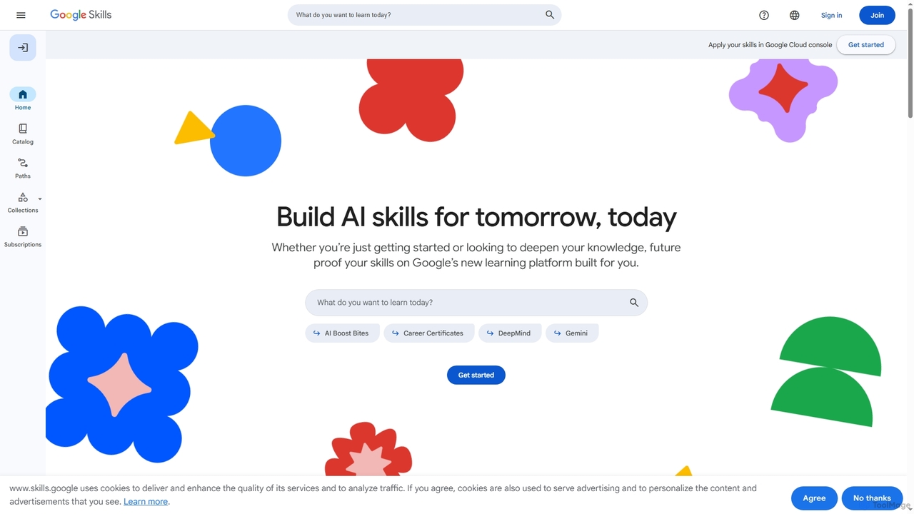
Google Skills
Google Skills is an online learning platform designed to help individuals and teams build and validate in-demand technical skills, particularly in AI and cloud technologies. It offers a range of learning paths, including hands-on labs, courses, skill badges, and industry-recognized certifications from Google experts, enabling users to future-proof their careers and enhance workforce capabilities.
Machine Learning Training
CMF by Nothing
CMF by Nothing is a design-focused tech ecosystem offering affordable smart devices like smartwatches and earbuds. Managed through the CMF Watch app, it leverages AI for health tracking, call clarity, and providing a seamless, user-friendly experience. It combines minimalist aesthetics with essential, powerful technology.
Wearable Tech
Home Assistant
Home Assistant is a powerful, open-source home automation platform that prioritizes local control and user privacy. It integrates with thousands of smart devices and services, allowing you to create powerful automations, custom dashboards, and even use a private, local voice assistant. Powered by a global community, it puts you in complete control of your smart home data.
Open Source
instacrops Comments (0)
Sign in to comment.
Sign inNo comments yet.