
Free
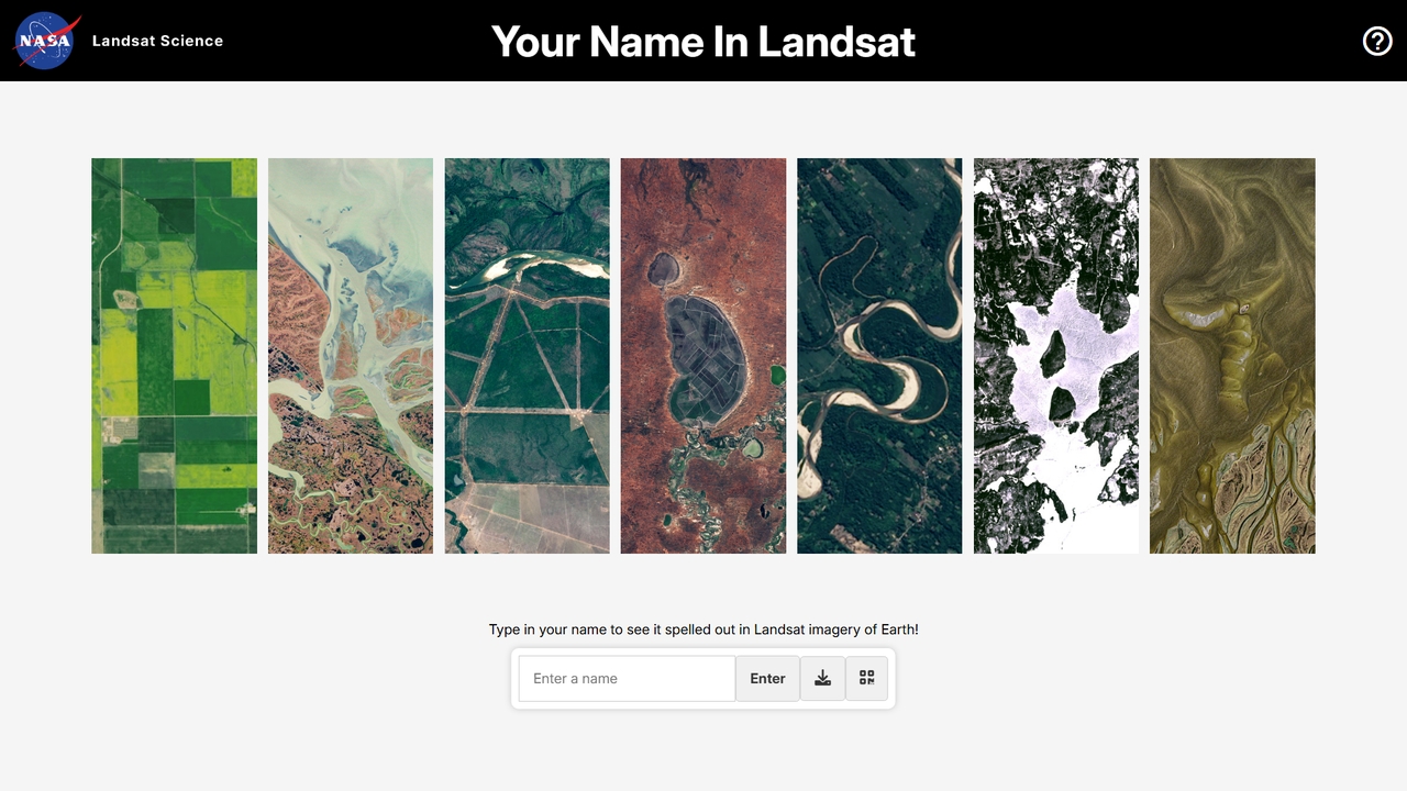
Your Name in Landsat
Type your name to see it spelled out in NASA and USGS Landsat satellite imagery spanning over 50 years. A free, interactive Earth science tool.
ScienceVisits 7.9MFavorites 22Likes 31
Discover powerful satellite imagery AI tools, including Your Name in Landsat, eos, Flypix, OpalAi, Rapid Editor, Satlas, Picterra, instacrops, Cybertiks, and Geo, and other related products.
Type your name to see it spelled out in NASA and USGS Landsat satellite imagery spanning over 50 years. A free, interactive Earth science tool.
Science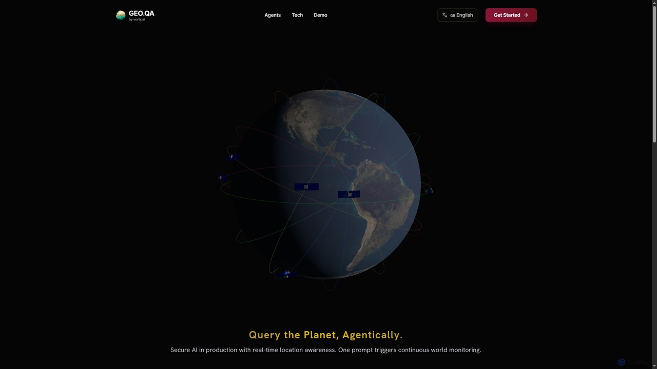
Geo provides real-time geospatial intelligence to AI agents, enabling continuous global monitoring and location-aware decision-making through natural language prompts. It simplifies complex satellite data for enterprise AI applications.
Agent Tools
Cybertiks is an advanced AI platform that leverages satellite imagery and remote sensing for in-depth analysis in agriculture, mining, and environmental management. It provides valuable insights into soil nutrients, mineral deposits, and field health, enabling data-driven decision-making for various industries. By integrating multiple data sources and advanced AI models, Cybertiks delivers tailored, high-accuracy solutions for resource monitoring and management.
Analytics
Picterra is a GeoAI platform that enables users to analyze satellite and drone imagery to extract insights. It provides a no-code environment for building and deploying object detection models, empowering industries like agriculture, ESG, and infrastructure with scalable environmental intelligence.
Environmental Social Governance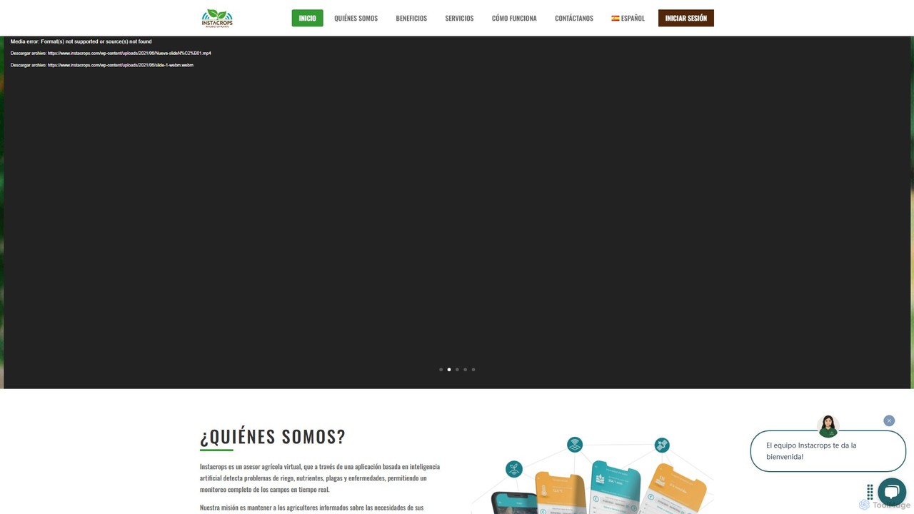
Instacrops is an AI-powered AgTech platform that acts as a virtual agricultural advisor. It combines IoT sensors, satellite imagery, and AI to provide real-time data and actionable recommendations on irrigation, nutrients, pests, and diseases. This helps farmers optimize resource usage, minimize risks, and maximize crop profitability and yield.
Precision Farming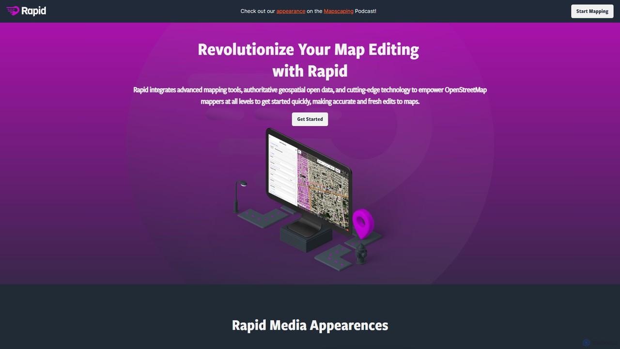
Rapid Editor is an AI-enhanced OpenStreetMap (OSM) editor designed to accelerate and simplify the mapping process. By leveraging AI-detected features from satellite imagery and integrating open data, it allows users to quickly add roads, buildings, and other geographical elements. Its intuitive interface makes it ideal for both beginners and experienced mappers, especially for humanitarian and community-driven mapping projects.
Geospatial Analysis
Flypix is an end-to-end AI platform for geospatial analysis, enabling users to automatically detect, localize, and segment objects in satellite, aerial, and drone imagery. Train custom AI models with no coding required to analyze complex scenes, saving significant time and resources across industries like agriculture, construction, and environmental monitoring.
3D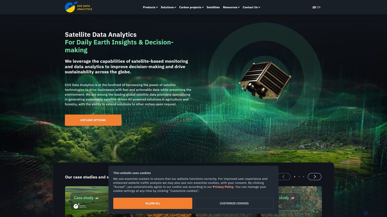
EOS Data Analytics (eos) is an AI-powered platform providing satellite imagery analysis for various industries. It leverages machine learning to process geospatial data, offering actionable insights for agriculture, forestry, environmental monitoring, and more. The platform helps businesses make data-driven decisions, optimize operations, and mitigate risks through advanced remote sensing technologies.
Agriculture
OpalAi is an advanced Spatial AI platform that transforms complex spatial, visual, textual, and audio data into actionable insights for enterprises. It leverages cutting-edge technologies like Vision Language Models (VLMs) and 3D reconstruction to offer specialized solutions for industries such as PropTech, InsurTech, transportation, and wildfire management, accelerating data-driven decision-making.
3D Modeling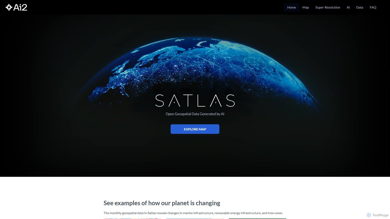
Satlas is an AI-powered platform by the Allen Institute for AI that provides open, high-resolution geospatial data. It uses advanced computer vision models to analyze global satellite imagery, tracking changes in tree cover, renewable energy, and marine infrastructure. Its key feature is Super-Resolution, which enhances low-resolution images for detailed analysis.
Geospatial