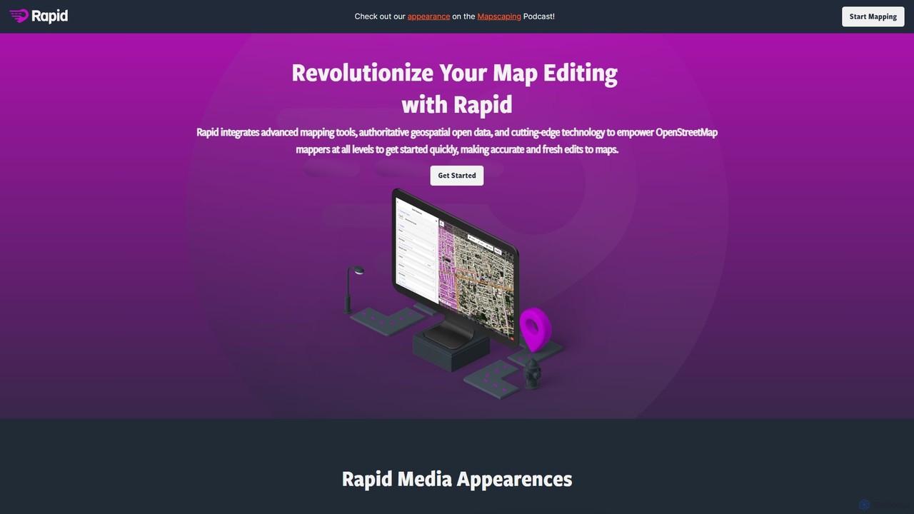
Rapid Editor
Rapid Editor is an AI-enhanced OpenStreetMap (OSM) editor designed to accelerate and simplify the mapping process. By leveraging …
Rapid Editor is an AI-enhanced OpenStreetMap (OSM) editor designed to accelerate and simplify the mapping process. By leveraging AI-detected features from satellite imagery and integrating open data, it allows users to quickly add roads, buildings, and other geographical elements. Its intuitive interface makes it ideal for both beginners and experienced mappers, especially for humanitarian and community-driven mapping projects.
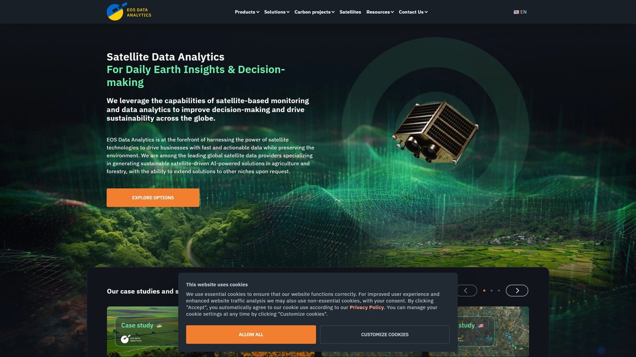
eos
EOS Data Analytics (eos) is an AI-powered platform providing satellite imagery analysis for various industries. It leverages machine …
EOS Data Analytics (eos) is an AI-powered platform providing satellite imagery analysis for various industries. It leverages machine learning to process geospatial data, offering actionable insights for agriculture, forestry, environmental monitoring, and more. The platform helps businesses make data-driven decisions, optimize operations, and mitigate risks through advanced remote sensing technologies.
About Geospatial Analysis
Geospatial Analysis tools are a specialized class of data analysis software that use AI to interpret and model data with a geographic component. These tools apply machine learning algorithms to process complex datasets like satellite imagery, GPS coordinates, and vector maps to uncover spatial patterns, relationships, and trends. Their primary value lies in transforming raw location data into actionable intelligence for strategic decision-making. This enables industries to optimize logistics, assess environmental risks, and understand market dynamics with a high degree of locational precision.
Core Features
- Satellite and Aerial Imagery Analysis: Automatically detects and classifies objects, land cover, and changes from high-resolution imagery.
- Spatial Pattern Recognition: Identifies statistically significant clusters, hotspots, and anomalies in geographic distributions.
- Predictive Location Modeling: Forecasts future events or trends, such as urban growth, resource demand, or disease spread, based on spatial data.
- Network and Route Optimization: Calculates the most efficient paths for logistics, transportation, and infrastructure planning using spatial algorithms.
- Geospatial Data Integration: Fuses multiple data layers (e.g., demographic, climatic, economic) to perform comprehensive, location-aware analysis.
Use Cases
These tools are essential for professionals in urban planning, environmental science, logistics and supply chain management, precision agriculture, and retail site selection. For example, a city planner can model the impact of a new transit line on property values, while an agronomist can use drone imagery to identify crop stress in specific field zones.
How to Choose
When selecting a Geospatial Analysis tool, consider the types of data you work with (raster, vector, satellite), the complexity of the required analysis (e.g., object detection vs. predictive modeling), integration capabilities with existing GIS platforms like ArcGIS or QGIS, and the tool's ability to scale for processing large-scale geographic datasets.
Geospatial AnalysisUse Cases
Optimizing Retail Store Placement
A market analyst for a retail chain is tasked with identifying the top five most promising locations for new stores in a metropolitan area. Using a geospatial analysis tool, they integrate multiple data layers: customer demographic data, mobile phone location data to map foot traffic patterns, competitor store locations, and local economic indicators. The AI model analyzes these layers to identify underserved areas with high potential customer density and low competition. The output is a ranked list of locations with predicted annual revenue, allowing the company to make data-driven expansion decisions and minimize the risk of opening an unprofitable store.
Monitoring Deforestation with Satellite Imagery
An environmental NGO needs to track illegal logging activities in a large, remote rainforest. They use an AI geospatial tool to analyze satellite imagery captured monthly. The AI model is trained to detect changes in forest cover, automatically flagging areas where significant tree loss has occurred between two time periods. This allows the team to quickly identify deforestation hotspots without manually inspecting thousands of square kilometers of imagery. The results, presented as maps and reports, are then used to alert local authorities and direct on-the-ground conservation efforts more effectively.
Precision Agriculture for Crop Management
An agricultural cooperative manages thousands of acres of corn. To maximize yield and minimize resource use, they employ a geospatial AI platform that processes drone and satellite imagery. The platform identifies variations in crop health across the fields, pinpointing areas affected by pests, nutrient deficiencies, or water stress. This spatial data is then fed into GPS-guided tractors and sprayers, which apply precise amounts of fertilizer or pesticide only where needed. This targeted approach, known as variable rate application, significantly reduces chemical usage, lowers operational costs, and improves overall crop yield and sustainability.
Dynamic Route Optimization for Logistics
A large delivery company aims to reduce fuel costs and improve delivery times for its fleet of 500 vehicles. Their logistics manager uses a geospatial AI tool that integrates real-time traffic data, weather conditions, vehicle locations, and the day's delivery schedule. The AI algorithm continuously calculates the most efficient route for each vehicle, dynamically re-routing them to avoid traffic jams or road closures. The system also optimizes the sequence of deliveries for each route. As a result, the company achieves a 15% reduction in fuel consumption and improves its on-time delivery rate by 20%.
Assessing Flood Risk for Insurance Underwriting
An insurance company needs to accurately price flood insurance premiums for properties across a coastal region. An underwriter uses a geospatial analysis platform to create a high-resolution flood risk map. The tool combines elevation data, historical rainfall patterns, river network data, and land use information (e.g., impervious surfaces like concrete). The AI model simulates various storm scenarios to predict flood depth and extent for each individual property. This allows the underwriter to move beyond broad flood zones and set premiums based on the specific, calculated risk for each address, leading to fairer pricing and better risk management for the company.
Urban Planning for Public Infrastructure
A city planning department is deciding where to build new electric vehicle (EV) charging stations. A planner uses a geospatial AI tool to analyze traffic flow data, population density maps, existing charging station locations, and points of interest like shopping centers and office parks. The AI identifies 'charging deserts'—areas with high potential demand but low supply. It then runs simulations to recommend optimal locations that would maximize accessibility and usage, ensuring equitable distribution across the city. This data-driven approach helps the city invest public funds more effectively and accelerate the adoption of electric vehicles.