
Rapid Editor Overview
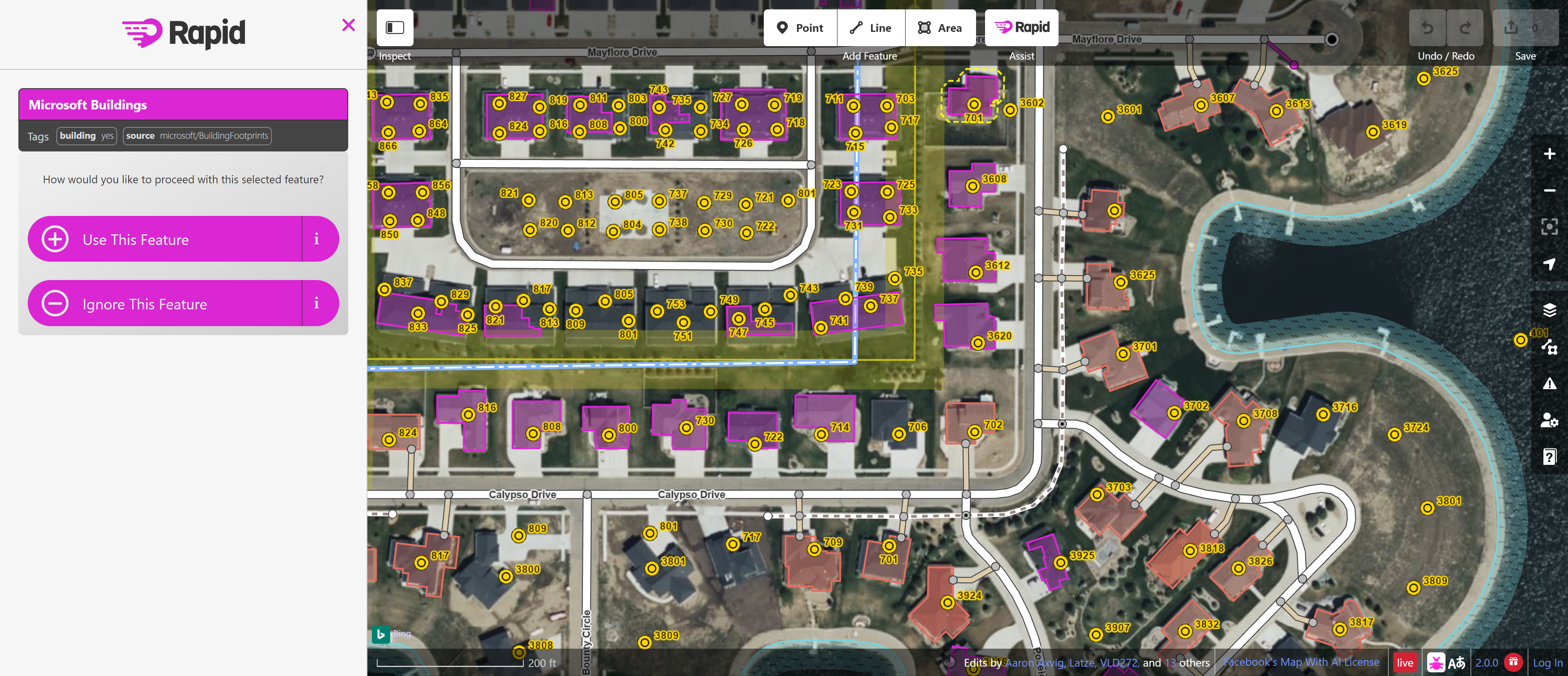
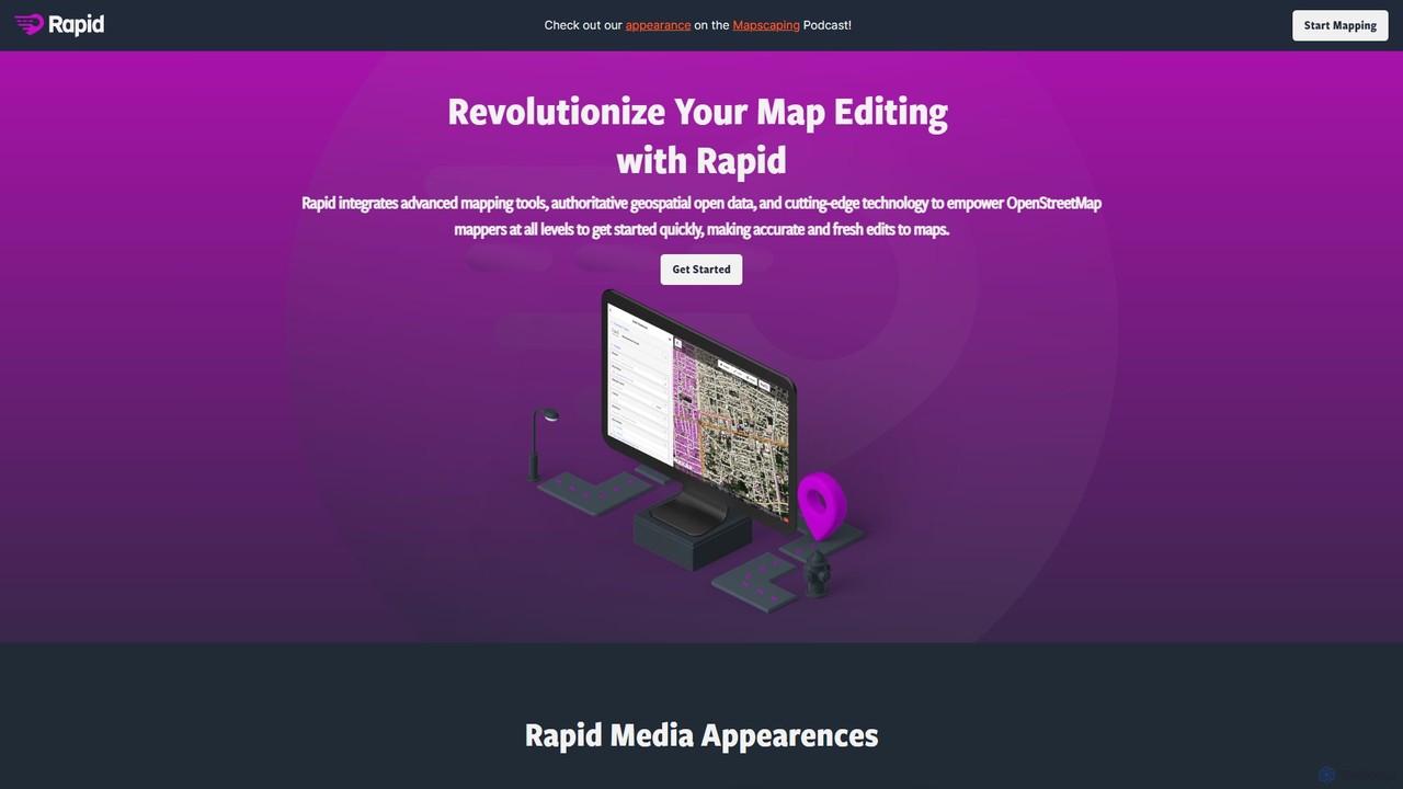
Rapid Editor is a cutting-edge, web-based mapping tool that enhances the standard OpenStreetMap (OSM) iD editor with the power of artificial intelligence. Developed to make mapping faster, more efficient, and more accessible, Rapid Editor taps into AI-analyzed satellite imagery and open datasets to suggest unmapped features like roads and buildings. This significantly reduces the manual effort required for tracing, allowing mappers to contribute high-quality data to OSM at an unprecedented speed. The tool is particularly favored by humanitarian organizations and community groups for its ability to quickly map vulnerable or unmapped areas, aiding in disaster response, urban planning, and resource management.
How to use Rapid Editor
Using Rapid Editor is straightforward, especially for those with some familiarity with map editors. Here's a typical workflow:
- Access the Tool: Navigate to the Rapid Editor website. No installation is required.
- Log In: Sign in using your free OpenStreetMap (OSM) account. This is necessary to save your contributions directly to the global map.
- Locate an Area: Pan and zoom the map to find the area you wish to edit or improve. You can use the search function to find specific locations.
- Enable AI Features: The tool will automatically highlight AI-detected features (usually in a distinct color like magenta or purple). These are potential roads, buildings, or other elements that are missing from the map.
- Review and Add: Click on a suggested feature. The editor will display it overlaid on the satellite imagery. Verify that the suggestion is accurate. You can accept it with a single click.
- Refine and Tag: Once a feature is added, you can adjust its geometry (e.g., connect a new road to an existing one) and add appropriate tags (e.g., 'highway=residential', 'building=yes') to describe what it is.
- Save Your Changes: After making your edits, click the 'Save' button. You will be prompted to write a brief comment describing your changes (a changeset comment). Once saved, your contributions become a part of OpenStreetMap for everyone to use.
Core Features of Rapid Editor
- AI-Powered Feature Detection: Automatically identifies potential roads and buildings from high-resolution satellite imagery using advanced machine learning models.
- Open Data Integration: Seamlessly incorporates data from authoritative open sources, providing additional layers of information that can be added to the map.
- Intuitive User Interface: Built upon the user-friendly iD editor, Rapid provides a clean and simple interface that is easy for newcomers to learn while remaining powerful for experts.
- Data Validation: Includes built-in checks and warnings to help users avoid common mapping errors, ensuring the data added to OSM is of high quality.
- Streamlined Workflow: The 'add-and-go' nature of accepting AI suggestions dramatically speeds up the mapping process compared to manual tracing.
- Community Focused: Designed with humanitarian and community mapping projects in mind, enabling large-scale collaboration to map the world.
Use Cases for Rapid Editor
Rapid Editor is a versatile tool used in various scenarios:
- Humanitarian Mapping: In the aftermath of a natural disaster, organizations like the Humanitarian OpenStreetMap Team (HOT) use Rapid to quickly map affected areas, identifying roads for access, buildings for damage assessment, and safe zones for aid distribution.
- Community Development: Local communities can map their own neighborhoods, adding schools, clinics, water points, and local businesses to the map, which can be used for local planning and advocacy.
- Infrastructure Planning: Governments and NGOs use Rapid to map unmapped rural areas to plan for new infrastructure projects like roads, electricity, and internet connectivity.
- Environmental Monitoring: Researchers and conservationists can use the tool to map changes in land use, track deforestation, or identify man-made structures in protected areas.
Advantages of Rapid Editor
The primary advantage of Rapid Editor is its immense boost in efficiency. By automating the detection of features, it allows a single mapper to accomplish what would have previously taken hours of manual work. This democratization of mapping lowers the barrier to entry, empowering more people to contribute to OpenStreetMap. The tool improves data consistency and accuracy by leveraging validated AI models and open datasets. As an open-source and free tool, it is accessible to anyone, anywhere, fostering a global community of collaborators working towards a common goal: to create a free, detailed, and up-to-date map of the world.
Pricing and Plans
Rapid Editor is completely free to use. It is an open-source project supported by organizations and the broader OpenStreetMap community. There are no subscriptions, hidden fees, or paid tiers. Users only need a free OpenStreetMap account to start contributing.
Traffic
Latest traffic
Status
Monthly traffic trend
- 2025-9: 2.6K
- 2026-1: 4.8K
- 2026-2: 4.3K
- 2026-3: 4.4K
- 2026-4: 7.0K
- 2026-5: 5.3K
Geography
Top 5 countries / regions
- 🇺🇸United States43.8%
- 🇧🇷Brazil30.1%
- 🇩🇪Germany15.4%
- 🇮🇳India7.8%
- 🇮🇹Italy3.0%
Top keywords
| Keyword | Cost per click |
|---|---|
| ariane map editor | $0.00 |
| map editor | $1.62 |
| mapraider | $0.00 |
| rapid | $1.09 |
| rapid map | $0.00 |
Rapid Editor Alternatives
Atlas
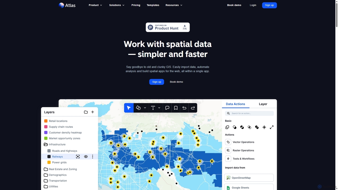
Atlas is an all-in-one, browser-based GIS platform that simplifies spatial data analysis and map creation. It enables users to easily import data, perform over 50 advanced spatial analyses, and build interactive web maps without prior GIS expertise. Designed for collaboration, Atlas is ideal for teams in sales, marketing, real estate, and environmental analysis to visualize data, identify trends, and make informed, location-driven decisions.
Business Intelligence
eos
EOS Data Analytics (eos) is an AI-powered platform providing satellite imagery analysis for various industries. It leverages machine learning to process geospatial data, offering actionable insights for agriculture, forestry, environmental monitoring, and more. The platform helps businesses make data-driven decisions, optimize operations, and mitigate risks through advanced remote sensing technologies.
Agriculture

GitHub
GitHub is the world's leading AI-powered developer platform for building, shipping, and maintaining software. It provides Git-based version control, collaborative tools, and a complete DevOps lifecycle, supercharged by GitHub Copilot, an advanced AI code assistant that accelerates development and enhances code quality.
Code Assistant
Google Workspace
Google Workspace is an integrated suite of secure, cloud-native collaboration and productivity apps powered by Google AI. It includes Gmail, Docs, Drive, Calendar, Meet, and more, designed to help teams of all sizes connect, create, and collaborate efficiently and securely from any device.
Office SuiteRapid Editor Categories
Rapid Editor Embed Widget
Copy this embed code to place the badge on your blog, article, or product site and send readers directly to this ToolMage detail page.

Related AI tools
Atlas
Atlas is an all-in-one, browser-based GIS platform that simplifies spatial data analysis and map creation. It enables users to easily import data, perform over 50 advanced spatial analyses, and build interactive web maps without prior GIS expertise. Designed for collaboration, Atlas is ideal for teams in sales, marketing, real estate, and environmental analysis to visualize data, identify trends, and make informed, location-driven decisions.
Business Intelligence
Picterra
Picterra is a GeoAI platform that enables users to analyze satellite and drone imagery to extract insights. It provides a no-code environment for building and deploying object detection models, empowering industries like agriculture, ESG, and infrastructure with scalable environmental intelligence.
Environmental Social Governance
Maplytics
Maplytics is a certified geo-analytical mapping app that integrates Azure or Bing Maps with Microsoft Dynamics 365 and Power Platform. It provides powerful location intelligence features like route optimization, territory management, radius search, and heat maps to enhance sales, service, and marketing operations, enabling data-driven decisions and boosting ROI.
Geospatial Intelligence
Flypix
Flypix is an end-to-end AI platform for geospatial analysis, enabling users to automatically detect, localize, and segment objects in satellite, aerial, and drone imagery. Train custom AI models with no coding required to analyze complex scenes, saving significant time and resources across industries like agriculture, construction, and environmental monitoring.
3D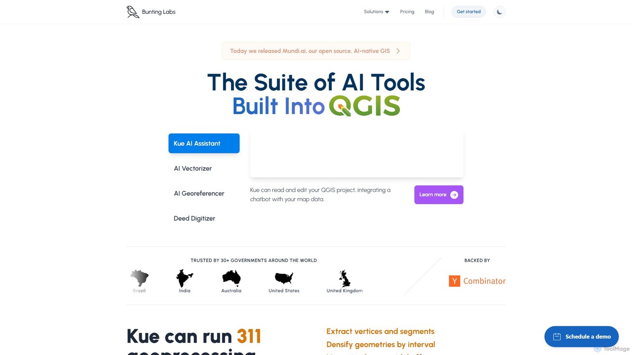
Bunting Labs
Bunting Labs offers a suite of AI-powered tools for GIS professionals, integrated directly into QGIS. It automates and accelerates map digitization, vectorization, and georeferencing, transforming time-consuming manual tasks into efficient, AI-driven workflows. The platform includes an AI assistant, an AI vectorizer, and an AI georeferencer to enhance productivity and data accuracy.
3D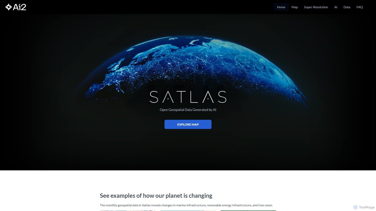
Satlas
Satlas is an AI-powered platform by the Allen Institute for AI that provides open, high-resolution geospatial data. It uses advanced computer vision models to analyze global satellite imagery, tracking changes in tree cover, renewable energy, and marine infrastructure. Its key feature is Super-Resolution, which enhances low-resolution images for detailed analysis.
Geospatial
Geo
Geo provides real-time geospatial intelligence to AI agents, enabling continuous global monitoring and location-aware decision-making through natural language prompts. It simplifies complex satellite data for enterprise AI applications.
Agent Tools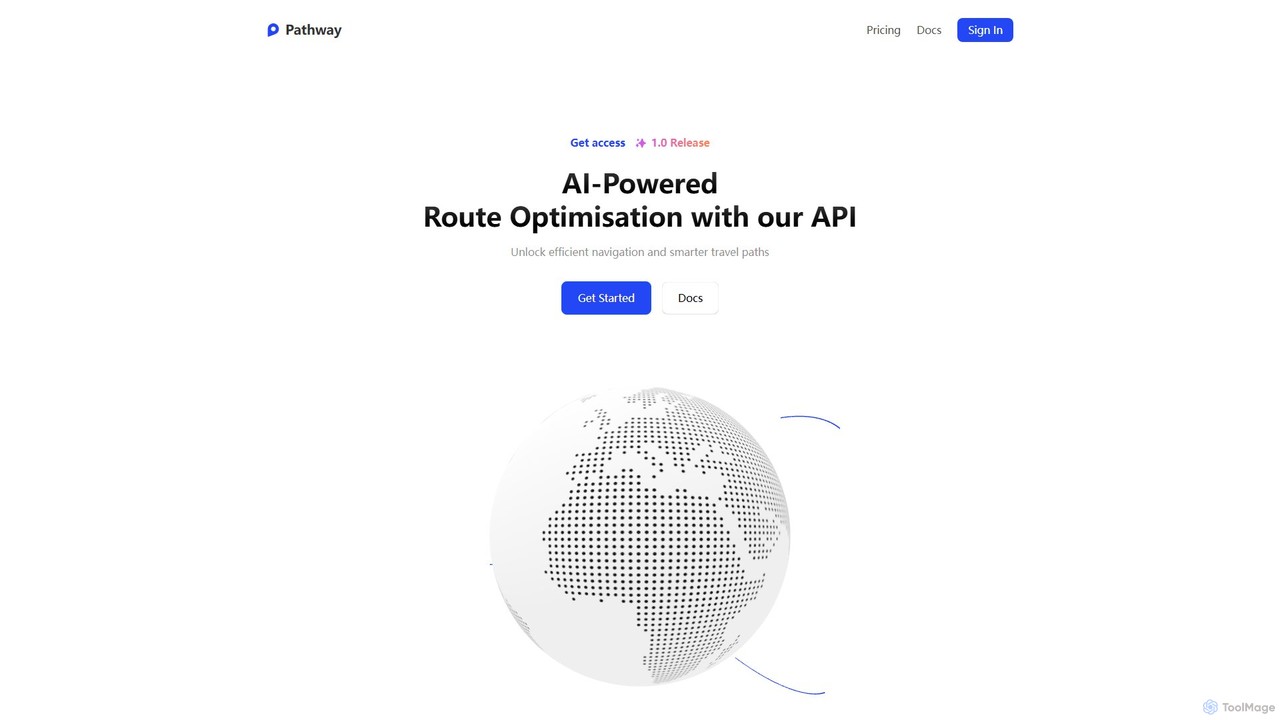
Pathway
Pathway offers an AI-powered route optimization API designed for businesses to create the most efficient travel paths. It helps logistics, ride-sharing, and service industries save time and money by intelligently planning multi-stop routes, considering real-time traffic and other constraints.
Fleet Management
Jyek
Jyek is an AI agent platform that understands objectives, creates execution plans, uses tools, and delivers verifiable results for complex, multi-step tasks.
Automationeos
EOS Data Analytics (eos) is an AI-powered platform providing satellite imagery analysis for various industries. It leverages machine learning to process geospatial data, offering actionable insights for agriculture, forestry, environmental monitoring, and more. The platform helps businesses make data-driven decisions, optimize operations, and mitigate risks through advanced remote sensing technologies.
Agriculture
DefinedCrowd
DefinedCrowd is a leading provider of high-quality AI training data. It leverages a global crowd to collect, annotate, and enrich data for machine learning models, specializing in speech, NLP, and computer vision. It offers a fully managed service to help companies build robust and unbiased AI applications at scale.
Machine Learning
Jotform
Jotform is a powerful no-code online form builder that allows anyone to create custom forms for data collection, payments, and workflow automation. With a drag-and-drop interface, over 10,000 templates, and extensive integrations, it simplifies everything from lead generation and surveys to event registrations and e-commerce. Its robust security features, including HIPAA and PCI compliance, make it a trusted choice for over 30 million users worldwide.
Data Collection
Typeform
Typeform is an AI-powered, conversational data collection platform that allows users to create beautiful, engaging, and intuitive forms, surveys, and quizzes. It focuses on a one-question-at-a-time interface to increase response rates, making data collection feel more like a conversation. Ideal for marketing, HR, and customer feedback, it helps businesses gather better data and deeper insights.
Feedback Collection
Prolific
Prolific is a leading platform for collecting high-quality data from a global pool of over 200,000 vetted and engaged human participants. It enables AI developers and researchers to quickly launch studies, train models, and gather reliable human feedback for tasks like data annotation, RLHF, and surveys.
Data Annotation
Rapid Editor Comments (0)
Sign in to comment.
Sign inNo comments yet.