Maplytics
Visit Website
Maplytics Overview
Maplytics is a premier geo-analytical and mapping solution designed to seamlessly integrate with the Microsoft ecosystem, including Dynamics 365, Dataverse, Power Pages, and Power Apps. As a certified app, it leverages the power of Azure Maps and Bing Maps to provide enterprise-grade location intelligence. This empowers organizations across various departments to visualize their CRM data on a map, making smarter, location-aware decisions. Maplytics is a comprehensive tool for sales, marketing, and service teams, helping them to optimize their field activities, manage territories effectively, and uncover valuable geographical insights from their data. It supports deployment across online, on-premises, and partner-hosted environments, ensuring accessibility on desktops and mobile devices (Android, iOS, Windows).
How to use Maplytics
Getting started with Maplytics is straightforward. First, install the application from Microsoft AppSource into your Dynamics 365 or Power Apps environment. Once installed, the system will automatically geocode your existing CRM records, such as accounts, leads, and contacts, by converting their addresses into latitude and longitude coordinates. Users can then access the Maplytics interface directly within Dynamics 365. From there, you can plot records on the map using customizable pushpins, perform radius or polygon searches to find nearby customers, create and manage sales territories, and plan optimized routes for field representatives. The intuitive PCF controls allow for interactive data filtering and analysis directly on the map, even within Power Pages portals.
Core Features of Maplytics
- CRM Data Mapping: Visualize any geocoded Dynamics 365 records on an interactive map with custom, color-coded pushpins for easy categorization and analysis.
- Territory Management: Automate the creation, drafting, and alignment of sales territories. Assign territories based on rules, perform geographical balancing, and manage hierarchies efficiently.
- Route Optimization & Auto Scheduling: Plan optimized, multi-stop routes for field teams, considering traffic and schedules. The auto-scheduling feature automatically plans appointments for multiple users over several days based on their availability and skills.
- Radius/Proximity Search: Find and plot records within a specified distance or travel time from a central point, ideal for locating nearby leads or service locations.
- Heat Map Visualization: Analyze data density and trends across geographical areas using intuitive heat maps, or visualize data distribution with pie/column charts on the map.
- Real-Time Tracking: Monitor the live location of field representatives to improve coordination and safety, with the ability to save travel history.
- Power Platform Integration: Seamlessly embed interactive maps within Power Apps (Canvas Apps) and Power Pages (Portals) for enhanced data visualization and user interaction.
- Plot External Data: Plot data from an Excel file directly onto the map without needing to import it into CRM, enabling quick, ad-hoc analysis.
Use Cases for Maplytics
Maplytics is versatile and adds value across multiple industries. For Field Service, companies like LMC optimize service reps' travel routes, reducing travel time and fuel costs while increasing the number of daily appointments. In Sales, teams can visually manage their territories, identify untapped areas, and use the radius search to find nearby prospects for impromptu meetings, significantly boosting productivity. For Marketing, it enables the creation of highly targeted, location-based marketing lists for local campaigns and events. Organizations like ReEmployAbility use it to plot nearby work opportunities for injured workers, demonstrating its utility in logistics and human resources. Financial institutions like SVMIC use it to find points of interest and analyze their service coverage.
Advantages of Maplytics
The primary advantage of Maplytics is its deep, native integration with Microsoft Dynamics 365, providing a seamless user experience. It delivers a significant Return on Investment (ROI) by cutting mileage by 10-30% and boosting customer touchpoints by 30-40%. The tool saves valuable time, reducing territory planning from days to hours and saving an average of 1-2 hours daily on travel planning. By providing clear, visual insights, it transforms raw data into actionable intelligence, leading to better strategic decisions. It is a powerful and preferred alternative to the discontinued Microsoft MapPoint, offering modern features and robust support.
Pricing and Plans
Maplytics offers a flexible pricing structure that starts with a free tier. A comprehensive 15-day free trial is available for users to explore the full range of features. For specific pricing details and plans tailored to your business needs, you can contact the Inogic sales team directly through AppSource to get a custom quote. This model ensures that businesses of all sizes can find a plan that fits their requirements and budget.
Maplytics Comments (0)
Log in to post comments
Log in nowMaplyticsWebsite Traffic Analysis
Latest Traffic
Status
Monthly Traffic Trend
Geography
Top 5 Countries/Regions
-
🇪🇨 Ecuador24.29%
-
🇺🇸 United States23.21%
-
🇮🇳 India20.34%
-
🇮🇩 Indonesia16.50%
-
🇯🇵 Japan15.66%
Popular Keywords
| Keyword | Cost Per Click |
|---|---|
|
$2.50
|
|
|
$0.65
|
|
|
$1.69
|
|
|
$0.75
|
|
|
$0.11
|
Maplytics Alternatives
View All
Flypix
Flypix is an end-to-end AI platform for geospatial analysis, enabling users to automatically detect, localize, and segment objects …
Flypix is an end-to-end AI platform for geospatial analysis, enabling users to automatically detect, localize, and segment objects in satellite, aerial, and drone imagery. Train custom AI models with no coding required to analyze complex scenes, saving significant time and resources across industries like agriculture, construction, and environmental monitoring.
Atlas
Atlas is an all-in-one, browser-based GIS platform that simplifies spatial data analysis and map creation. It enables users …
Atlas is an all-in-one, browser-based GIS platform that simplifies spatial data analysis and map creation. It enables users to easily import data, perform over 50 advanced spatial analyses, and build interactive web maps without prior GIS expertise. Designed for collaboration, Atlas is ideal for teams in sales, marketing, real estate, and environmental analysis to visualize data, identify trends, and make informed, location-driven decisions.
Satlas
Satlas is an AI-powered platform by the Allen Institute for AI that provides open, high-resolution geospatial data. It …
Satlas is an AI-powered platform by the Allen Institute for AI that provides open, high-resolution geospatial data. It uses advanced computer vision models to analyze global satellite imagery, tracking changes in tree cover, renewable energy, and marine infrastructure. Its key feature is Super-Resolution, which enhances low-resolution images for detailed analysis.

Picterra
Picterra is a GeoAI platform that enables users to analyze satellite and drone imagery to extract insights. It …
Picterra is a GeoAI platform that enables users to analyze satellite and drone imagery to extract insights. It provides a no-code environment for building and deploying object detection models, empowering industries like agriculture, ESG, and infrastructure with scalable environmental intelligence.
Mappedin
Mappedin is an AI-powered platform that transforms static floor plans into interactive 3D indoor maps in minutes. It's …
Mappedin is an AI-powered platform that transforms static floor plans into interactive 3D indoor maps in minutes. It's designed for venues of all types to enhance visitor experience, streamline operations, and improve safety with intuitive navigation, real-time data visualization, and powerful management tools.

May Mobility
May Mobility is an autonomous vehicle (AV) technology company that develops and deploys self-driving transit solutions. Leveraging its …
May Mobility is an autonomous vehicle (AV) technology company that develops and deploys self-driving transit solutions. Leveraging its proprietary Multi-Policy Decision Making (MPDM) AI, May Mobility provides safe, accessible, and reliable autonomous rides, partnering with cities, transit agencies, and businesses to solve transportation challenges.

blackshark.ai
blackshark.ai is an AI-powered Visual Earth Operating System (VEOS) that transforms satellite, aerial, and drone imagery into actionable …
blackshark.ai is an AI-powered Visual Earth Operating System (VEOS) that transforms satellite, aerial, and drone imagery into actionable 2D/3D geospatial intelligence and realistic simulations. It empowers analysts to rapidly train custom AI models for detection, classification, and monitoring, serving the defense, infrastructure, and autonomy sectors with unprecedented speed and flexibility.

Tango
Tango is an AI-powered browser agent designed for sales teams to automate repetitive tasks and streamline workflows. It …
Tango is an AI-powered browser agent designed for sales teams to automate repetitive tasks and streamline workflows. It records user actions to create step-by-step guides and automations that run directly in the browser. Tango helps increase sales efficiency, improve CRM data accuracy, and accelerate process adoption without requiring new systems or complex integrations.
Lightfield
Lightfield is an AI-powered CRM that redefines customer relationship management by automatically capturing every interaction—from emails and meetings …
Lightfield is an AI-powered CRM that redefines customer relationship management by automatically capturing every interaction—from emails and meetings to support tickets. It unifies structured and unstructured data, allowing teams to ask natural language questions to uncover deep insights, automate workflows, and focus on building stronger customer relationships.
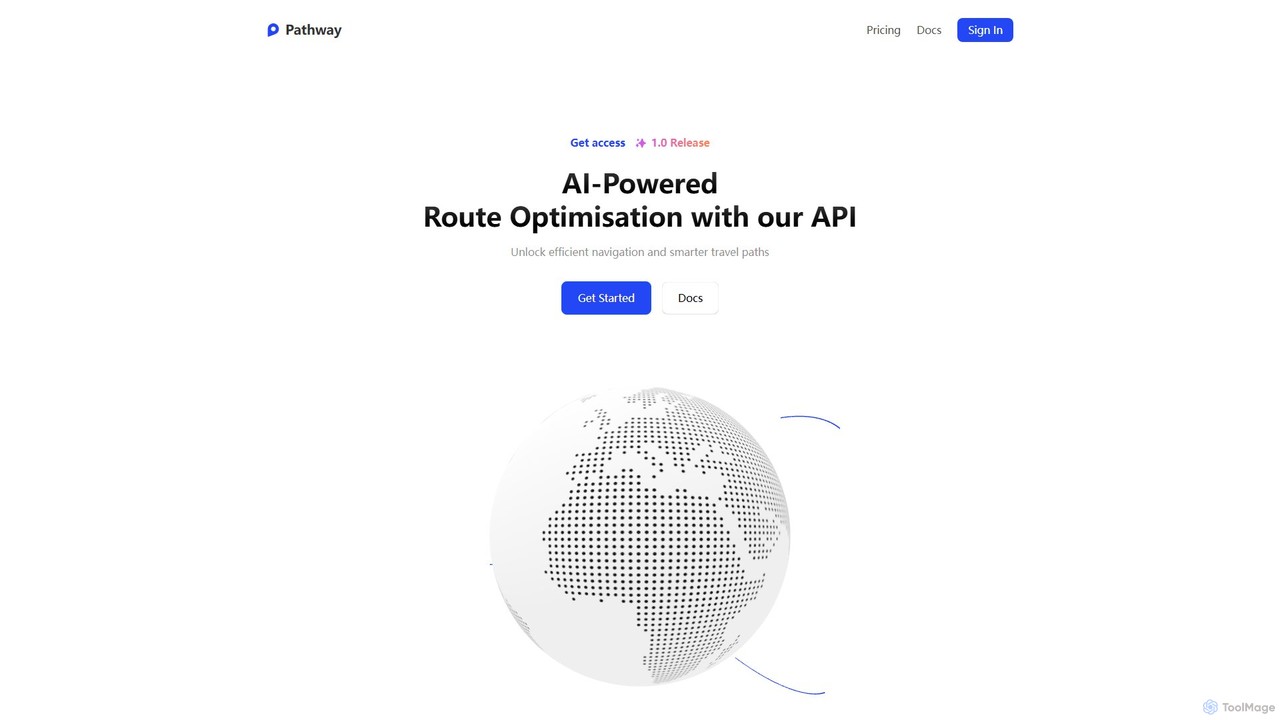
Pathway
Pathway offers an AI-powered route optimization API designed for businesses to create the most efficient travel paths. It …
Pathway offers an AI-powered route optimization API designed for businesses to create the most efficient travel paths. It helps logistics, ride-sharing, and service industries save time and money by intelligently planning multi-stop routes, considering real-time traffic and other constraints.
Maplytics Category
Maplytics Tag
Maplytics AI Tool Comparison
Maplytics Embed Feature
Just copy the embed code below and paste this beautiful badge on your blog, article, or official app website to drive traffic directly to this tool's detail page and quickly boost your exposure and user count!

No comments yet, be the first to comment!