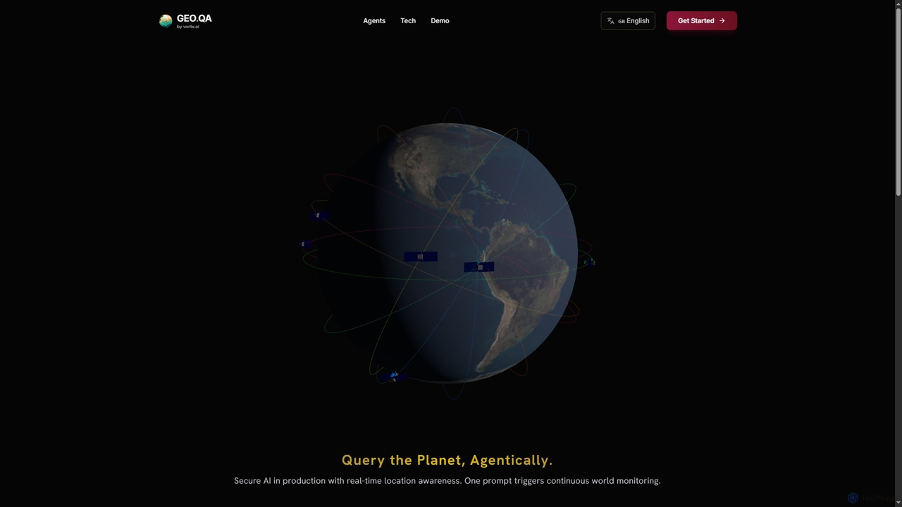
Geo
Geo provides real-time geospatial intelligence to AI agents, enabling continuous global monitoring and location-aware decision-making through natural language …
Geo provides real-time geospatial intelligence to AI agents, enabling continuous global monitoring and location-aware decision-making through natural language prompts. It simplifies complex satellite data for enterprise AI applications.
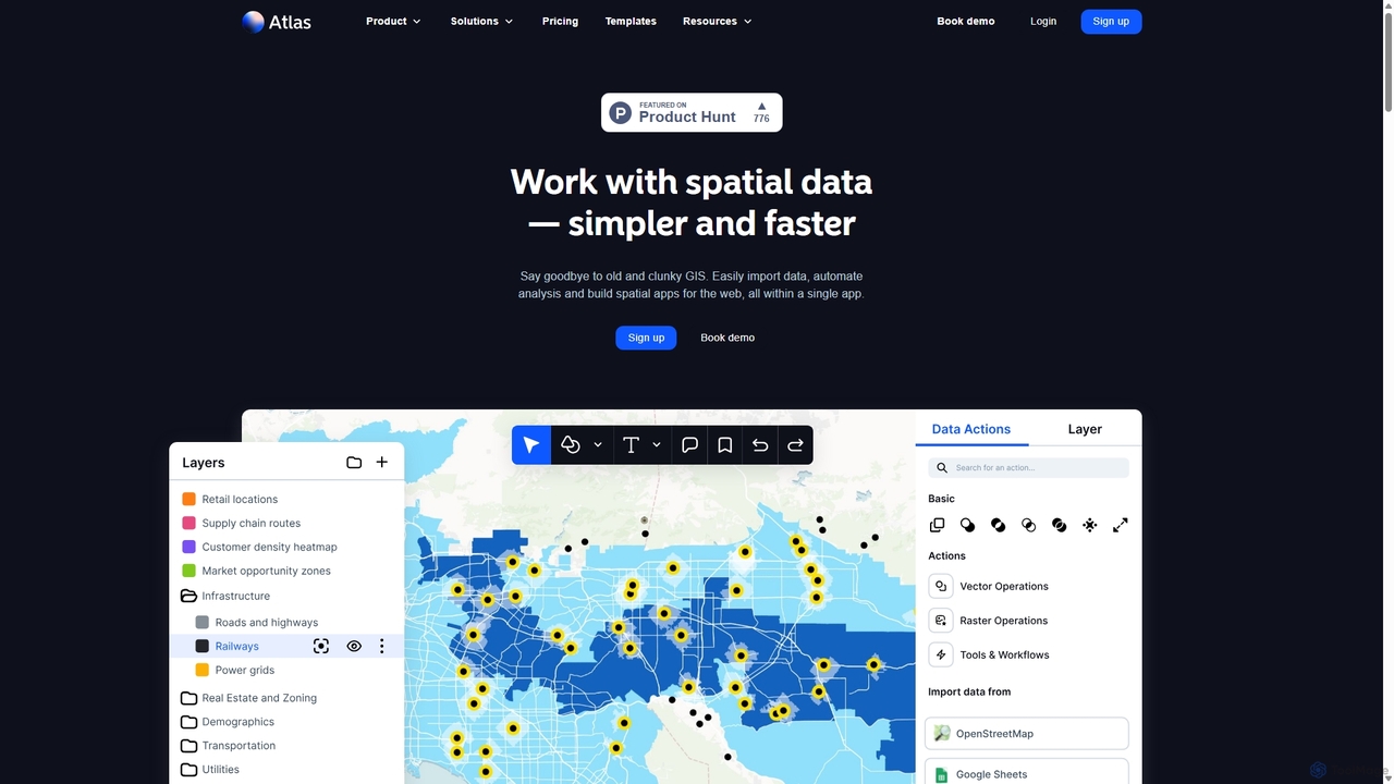
Atlas
Atlas is an all-in-one, browser-based GIS platform that simplifies spatial data analysis and map creation. It enables users …
Atlas is an all-in-one, browser-based GIS platform that simplifies spatial data analysis and map creation. It enables users to easily import data, perform over 50 advanced spatial analyses, and build interactive web maps without prior GIS expertise. Designed for collaboration, Atlas is ideal for teams in sales, marketing, real estate, and environmental analysis to visualize data, identify trends, and make informed, location-driven decisions.
Maplytics
Maplytics is a certified geo-analytical mapping app that integrates Azure or Bing Maps with Microsoft Dynamics 365 and …
Maplytics is a certified geo-analytical mapping app that integrates Azure or Bing Maps with Microsoft Dynamics 365 and Power Platform. It provides powerful location intelligence features like route optimization, territory management, radius search, and heat maps to enhance sales, service, and marketing operations, enabling data-driven decisions and boosting ROI.
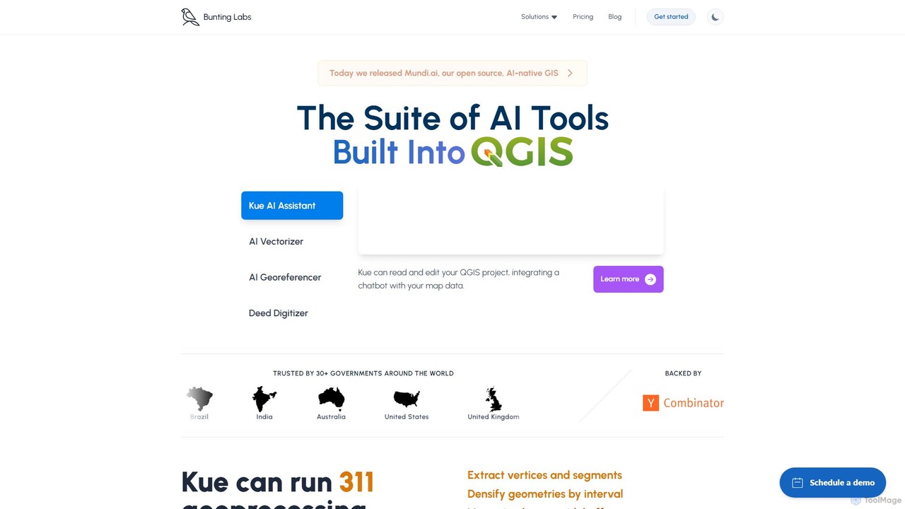
Bunting Labs
Bunting Labs offers a suite of AI-powered tools for GIS professionals, integrated directly into QGIS. It automates and …
Bunting Labs offers a suite of AI-powered tools for GIS professionals, integrated directly into QGIS. It automates and accelerates map digitization, vectorization, and georeferencing, transforming time-consuming manual tasks into efficient, AI-driven workflows. The platform includes an AI assistant, an AI vectorizer, and an AI georeferencer to enhance productivity and data accuracy.

Picterra
Picterra is a GeoAI platform that enables users to analyze satellite and drone imagery to extract insights. It …
Picterra is a GeoAI platform that enables users to analyze satellite and drone imagery to extract insights. It provides a no-code environment for building and deploying object detection models, empowering industries like agriculture, ESG, and infrastructure with scalable environmental intelligence.
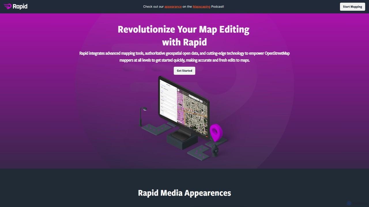
Rapid Editor
Rapid Editor is an AI-enhanced OpenStreetMap (OSM) editor designed to accelerate and simplify the mapping process. By leveraging …
Rapid Editor is an AI-enhanced OpenStreetMap (OSM) editor designed to accelerate and simplify the mapping process. By leveraging AI-detected features from satellite imagery and integrating open data, it allows users to quickly add roads, buildings, and other geographical elements. Its intuitive interface makes it ideal for both beginners and experienced mappers, especially for humanitarian and community-driven mapping projects.
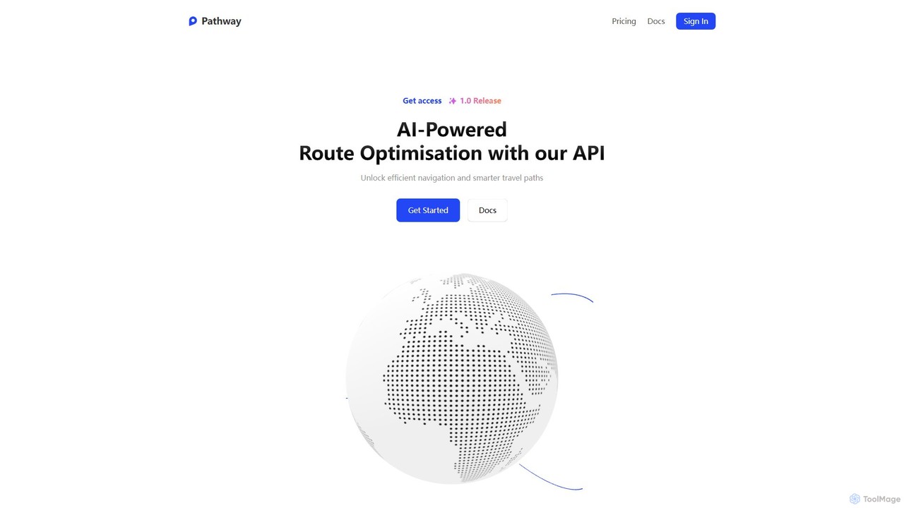
Pathway
Pathway offers an AI-powered route optimization API designed for businesses to create the most efficient travel paths. It …
Pathway offers an AI-powered route optimization API designed for businesses to create the most efficient travel paths. It helps logistics, ride-sharing, and service industries save time and money by intelligently planning multi-stop routes, considering real-time traffic and other constraints.