
Bunting Labs Overview
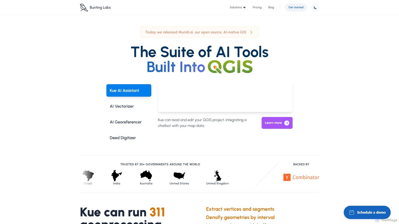
Bunting Labs is a modern software company, backed by Y Combinator, dedicated to building specialized AI models for Geographic Information Systems (GIS). Their primary goal is to save GIS users significant time by automating complex and repetitive tasks. The core offering is a suite of powerful AI tools that integrate seamlessly into QGIS, one of the most popular open-source GIS platforms. This suite, featuring the Kue AI Assistant, AI Vectorizer, and AI Georeferencer, is designed to revolutionize how professionals interact with geospatial data, making map digitization and analysis faster, easier, and more accurate. Trusted by over 30 governments worldwide, Bunting Labs is at the forefront of the GeoAI revolution.
How to use Bunting Labs
Using Bunting Labs tools begins with installing their plugin directly into your existing QGIS environment. Once installed, you can access the suite of features. For general tasks, you can interact with the Kue AI Assistant, a chatbot that understands natural language commands. You can ask it to style layers, apply labels, run geoprocessing algorithms (like creating Voronoi polygons or densifying geometries), or filter data without writing any SQL code. To digitize a raster map (like a scanned historical map or a PDF), you activate the AI Vectorizer. You simply trace over the features you want to capture, and the AI autocompletes the lines and polygons with high precision. For aligning unreferenced maps, the AI Georeferencer can be used to automatically match points on the image to real-world coordinates, a process that is traditionally manual and tedious.
Core Features of Bunting Labs
- Kue AI Assistant: An integrated chatbot in QGIS that executes commands for layer styling, labeling, geoprocessing (with access to over 300 algorithms), and data filtering using natural language.
- AI Vectorizer: A powerful tool that uses AI to trace and digitize features from raster images (e.g., PDFs, JPEGs) up to 3x faster than manual methods. It intelligently autocompletes vectors, segments, and polygons.
- AI Georeferencer: An automated tool (currently in beta) for georeferencing aerial imagery and as-built PDFs, aligning them with precise real-world coordinates.
- AI Metadata Extraction: Automatically populates attribute tables for vector data by analyzing information from raster layers or other fields, reducing manual data entry.
- AI Dataset Search: Helps users discover new and relevant GIS datasets based on simple search queries directly within the QGIS interface.
- Cloud Storage and Map Sharing: Provides secure cloud storage for GIS projects and data, with the ability to share interactive web maps with team members or stakeholders.
- Advanced Styling Engine: Offers comprehensive control over map appearance, including scale-dependent rendering, complex geometry styling, an intelligent label engine, and conditional rendering based on data attributes.
Use Cases for Bunting Labs
Bunting Labs is ideal for a wide range of geospatial applications. Geologists and environmental scientists can use the AI Vectorizer to digitize complex geological maps, like the USGS case study where it proved to be twice as fast as manual methods. Urban planners and local governments can efficiently convert old zoning maps or as-built utility plans from PDF to interactive GIS layers. Infrastructure and utility companies can use the tools to digitize their network maps, helping to avoid dangerous strikes and improve asset management. It's also valuable for historians and researchers digitizing historical maps, and for property assessors who need to extract boundary data from survey plats.
Advantages of Bunting Labs
The primary advantage of Bunting Labs is a massive increase in efficiency. By automating tedious tasks, it allows GIS professionals to focus on analysis rather than data preparation. The seamless integration with QGIS means there is no need to learn a new software environment. The AI-driven approach not only speeds up workflows but can also improve accuracy and consistency compared to manual tracing. For organizations, it offers enterprise-grade features like zero data retention for enhanced privacy, SAML SSO for security, and options for private cloud deployment, ensuring full control over sensitive data.
Pricing and Plans
Bunting Labs offers a tiered pricing structure to suit different needs:
- Personal: $20/seat/month. Designed for evaluation and non-commercial use. Includes Kue AI for QGIS, 10 GB of cloud storage, and a limit of 40 AI Vectorizer chunks per day.
- Professional: $199/seat/month (paid annually). Best for professionals requiring data privacy. Offers advanced features like Zero Data Retention, AI Metadata Extraction, 800 GB of storage, and unlimited AI Vectorizer usage.
- Organization: $275/seat/month (starting at 10 seats). For large teams needing control and security. Includes all Professional features plus centralized management, team billing, SAML SSO, and private deployment options.
- A La Carte: The AI Aerial Georeferencer is priced separately, based on the number of images or area (per sqkm), with volume discounts available.
Traffic
Latest traffic
Status
Monthly traffic trend
- 2025-9: 9.0K
- 2026-1: 9.8K
- 2026-2: 5.7K
- 2026-3: 8.3K
- 2026-4: 13.0K
- 2026-5: 10.6K
Geography
Top 5 countries / regions
- 🇺🇸United States43.1%
- 🇬🇧United Kingdom18.2%
- 🇩🇪Germany15.0%
- 🇮🇩Indonesia12.1%
- 🇫🇷France11.7%
Top keywords
| Keyword | Cost per click |
|---|---|
| ai trtracing qgis | $0.00 |
| bunting labs | $0.00 |
| bunting labs login | $0.00 |
| bunting labs topographic map | $0.00 |
| qe ai qgis | $0.00 |
Bunting Labs Alternatives

eyeq
eyeq provides world-leading AI-powered automatic photo correction and video enhancement solutions for businesses. Its core technology, Perfectly Clear, uses 20+ years of scientific research and AI to deliver vibrant, accurate colors, intelligent retouching, and automated workflows, helping companies improve quality, reduce costs, and increase revenue.
3D
Flypix
Flypix is an end-to-end AI platform for geospatial analysis, enabling users to automatically detect, localize, and segment objects in satellite, aerial, and drone imagery. Train custom AI models with no coding required to analyze complex scenes, saving significant time and resources across industries like agriculture, construction, and environmental monitoring.
3D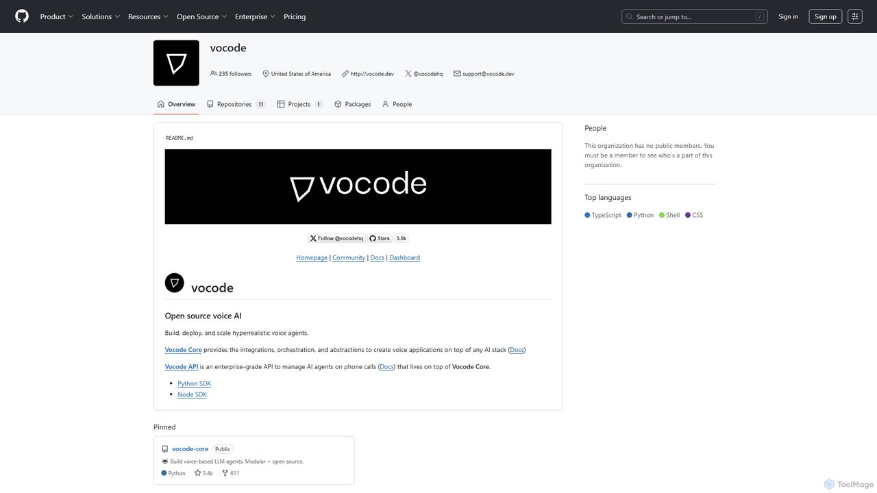
vocode
Vocode is an open-source platform for building, deploying, and scaling hyperrealistic voice AI agents. It provides developers with a core framework and an enterprise-grade API to create sophisticated voice-based LLM applications for tasks like automated customer service, sales calls, and interactive voice response (IVR) systems.
Voicebot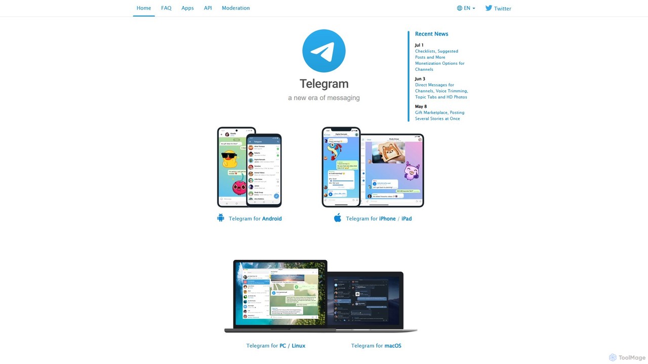
Telegram Messenger
Telegram is a globally renowned secure messaging app focused on speed and privacy. It doubles as a powerful platform for a vast ecosystem of AI-powered bots, enabling automation, community management, content creation, and direct integration with various AI services within a seamless chat interface.
Community Management
RoboTalk.ai
RoboTalk.ai is an advanced conversational AI platform for building intelligent, human-like chatbots and voice assistants. It empowers businesses to automate customer support, streamline sales processes, and enhance user engagement across multiple channels without needing to code.
ChatbotBunting Labs Categories
Bunting Labs Embed Widget
Copy this embed code to place the badge on your blog, article, or product site and send readers directly to this ToolMage detail page.

Related AI tools
Atlas
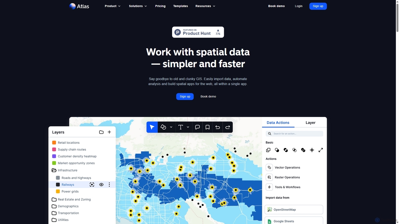
Atlas is an all-in-one, browser-based GIS platform that simplifies spatial data analysis and map creation. It enables users to easily import data, perform over 50 advanced spatial analyses, and build interactive web maps without prior GIS expertise. Designed for collaboration, Atlas is ideal for teams in sales, marketing, real estate, and environmental analysis to visualize data, identify trends, and make informed, location-driven decisions.
Business IntelligenceFlypix
Flypix is an end-to-end AI platform for geospatial analysis, enabling users to automatically detect, localize, and segment objects in satellite, aerial, and drone imagery. Train custom AI models with no coding required to analyze complex scenes, saving significant time and resources across industries like agriculture, construction, and environmental monitoring.
3D
MiniMax Agent
MiniMax Agent is a powerful AI agent platform designed to automate complex tasks, from building full-stack websites and generating presentations to conducting in-depth research. By leveraging natural language prompts, users can minimize effort and maximize intelligence, creating sophisticated digital products and content with unprecedented speed and efficiency. The platform features a collaborative gallery for sharing and remixing projects.
Low Code No Code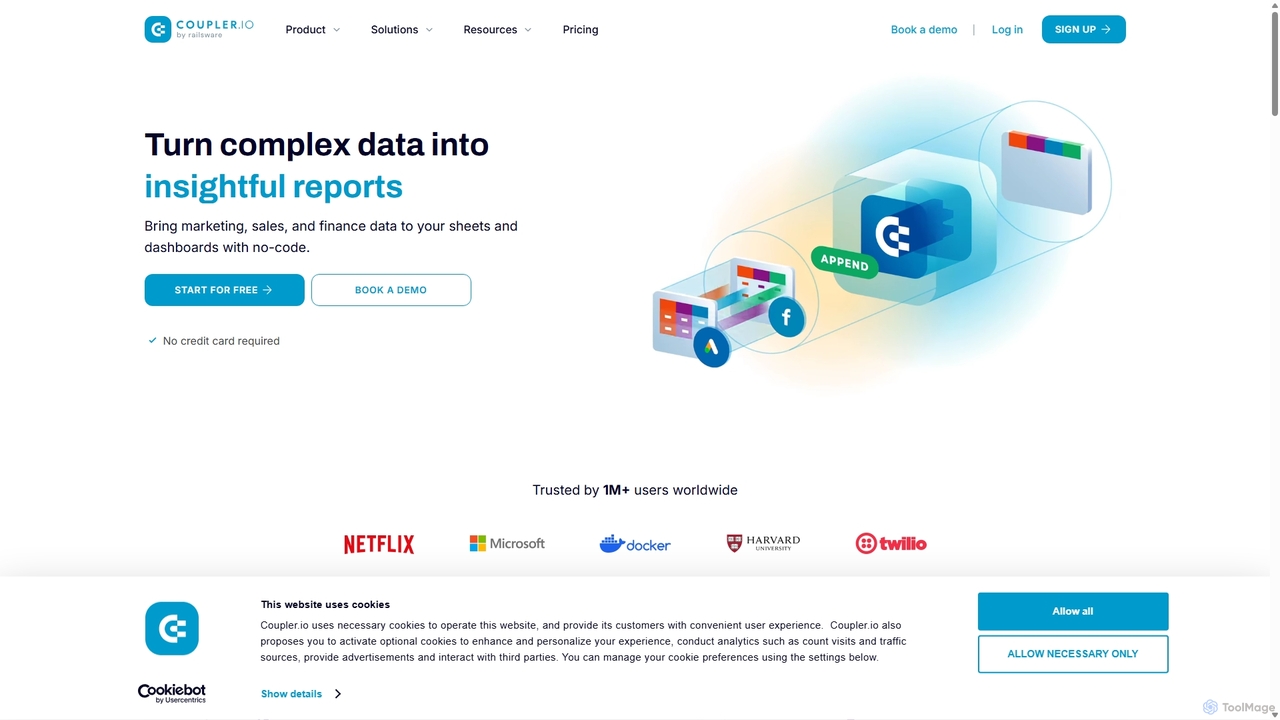
Coupler.io
Coupler.io is a no-code data analytics and automation platform that helps businesses connect disparate data sources from marketing, sales, and finance apps to spreadsheets, data warehouses, or BI tools. It automates data collection, transforms raw data into analysis-ready formats, and provides AI-powered insights and pre-built dashboard templates for faster, smarter decision-making.
Business Intelligence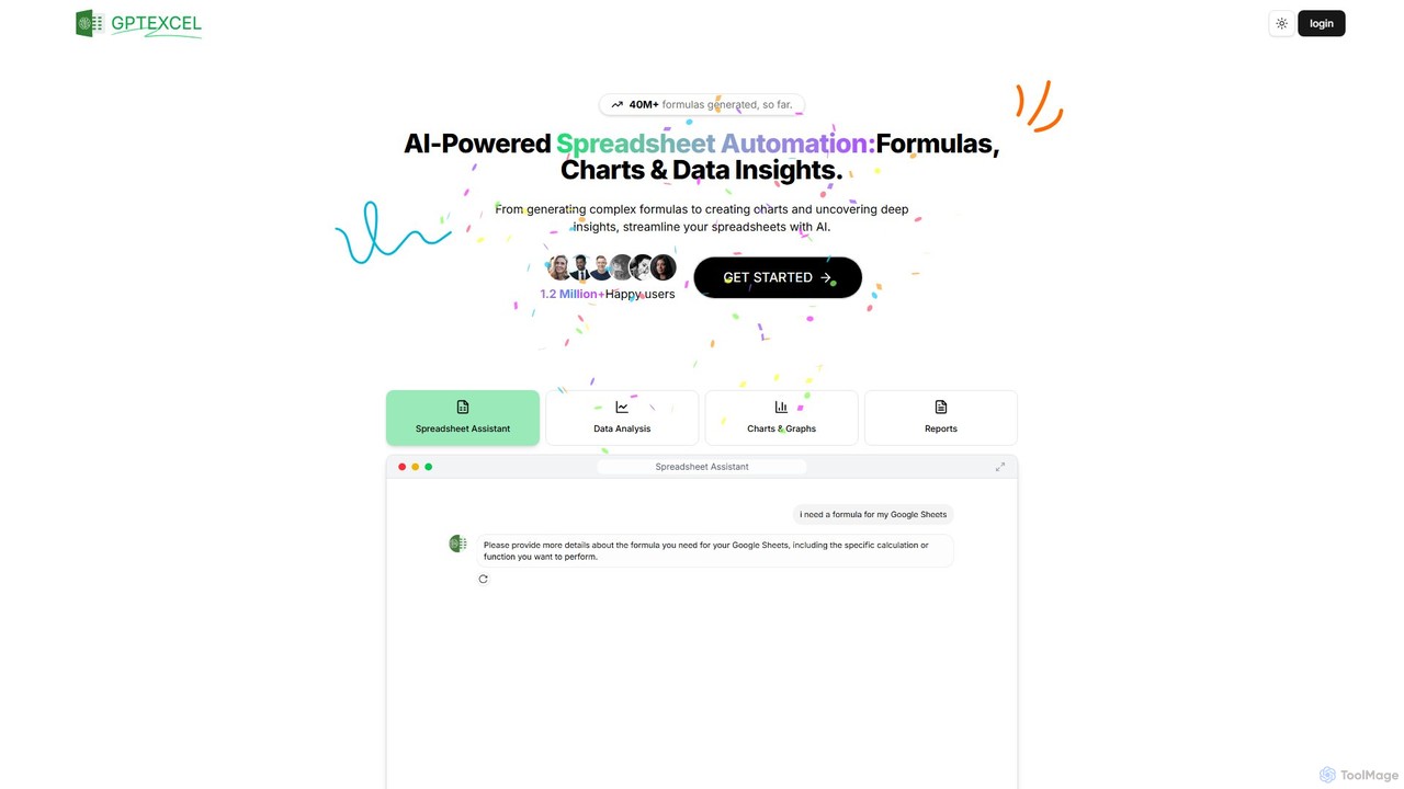
GPTExcel
GPTExcel is an AI-powered assistant that revolutionizes spreadsheet workflows. It generates complex formulas, automation scripts (VBA, Apps Script), SQL queries, and Regex from natural language. It also enables users to chat with their data, convert images to tables, create charts, and perform in-depth data analysis, supporting platforms like Excel, Google Sheets, and Airtable.
Sql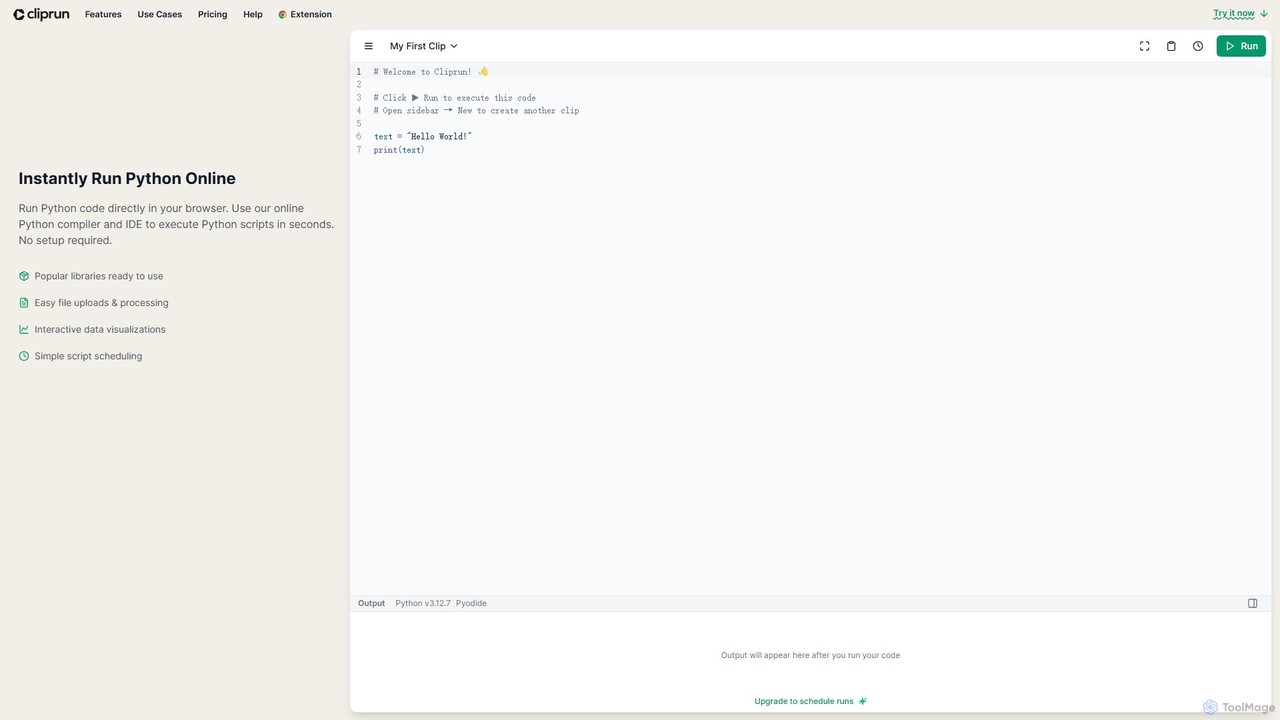
Cliprun
Cliprun is a powerful online Python compiler, IDE, and playground that allows you to run Python code directly in your browser. It requires no setup and comes with popular libraries like pandas and NumPy pre-installed. Ideal for quick experiments, data analysis, web scraping, and learning Python.
Online Ide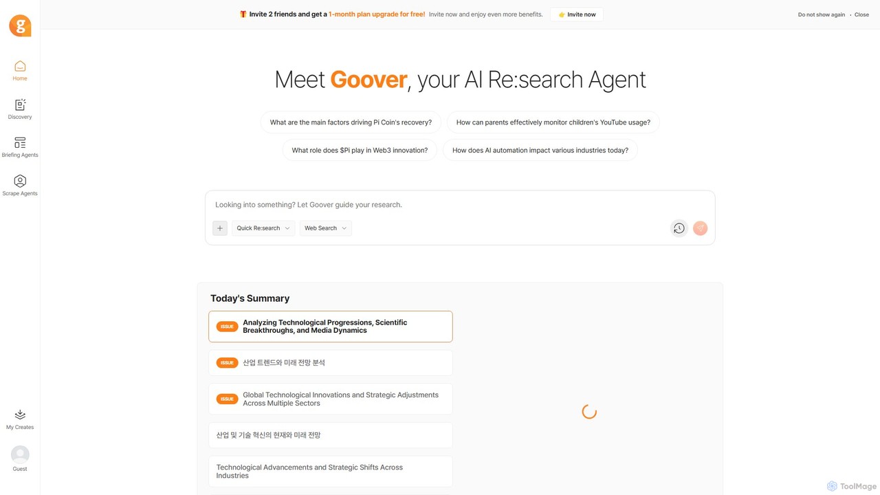
Goover
Goover is an advanced AI research agent that automates the entire process of information gathering, analysis, and synthesis. It transforms complex questions and scattered web data into structured, insightful reports and briefings, helping users save time and make informed decisions.
Web Scraping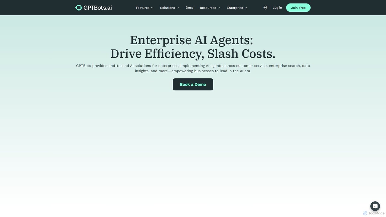
GPTBots.ai
GPTBots.ai is an enterprise-grade, no-code AI agent development platform. It enables businesses to build, deploy, and manage powerful AI agents for customer service, sales automation, enterprise search, and data analysis, aiming to boost efficiency and reduce operational costs.
Chatbot
Open Interpreter
An open-source tool that lets Large Language Models (LLMs) run code (Python, Shell, etc.) locally on your computer. It provides a natural language interface to your machine, enabling complex tasks like data analysis, file management, and automation with full access to your system's capabilities.
Data Analysis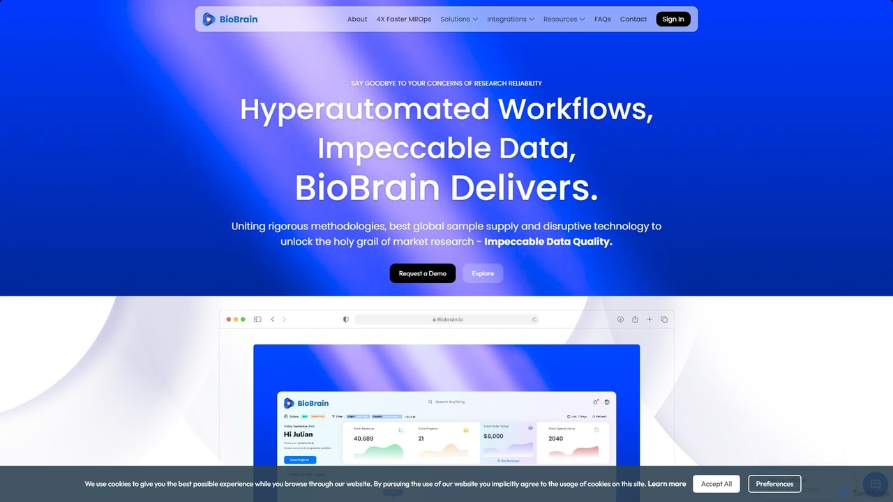
BioBrain
BioBrain is an AI-powered Agile MROps (Market Research Operations) platform designed to streamline and accelerate the entire market research lifecycle. It leverages automation and an advanced 'Insight Engine' to enhance efficiency, improve data quality, and deliver actionable insights with 4x speed, enabling businesses to make faster, data-driven decisions.
Data Analysis
Aleph
Aleph is an AI-native FP&A (Financial Planning & Analysis) platform designed for modern finance teams. It automates tedious financial tasks, consolidates data from various systems into a single source of truth, and supercharges familiar tools like Excel and Google Sheets. By leveraging AI, Aleph helps teams multiply their output, reduce manual work, and focus on high-value strategic analysis.
Fp&A
VectorShift
VectorShift is an end-to-end AI automation platform that enables users to build, deploy, and manage AI applications and workflows without code. It offers a drag-and-drop builder, a code SDK, and pre-built templates to automate processes, create chatbots, analyze data, and integrate with various business tools.
Customer Support
Waldo
Waldo is a strategy-grade AI research platform designed for agencies and brands. It automates brand research, audience insights, and competitive analysis by leveraging real-time social data, ad libraries, and premium sources. It streamlines workflows, saving significant time on research and enabling teams to deliver deeper, data-driven insights for pitches and strategies.
Competitive Intelligence
PromptQL
PromptQL is an enterprise AI platform that builds custom reasoning models with near-perfect accuracy. It learns your organization's unique business context, rules, and data to automate complex analysis and decision-making, acting as a trusted digital expert for specialized tasks.
Business Intelligence
Model ML
Model ML is an AI-powered workspace specifically designed for the finance industry. It automates complex tasks like due diligence, market research, and financial analysis, enabling professionals in private equity, investment banking, and consulting to make faster, more informed decisions and gain a competitive edge.
Market Research
Bunting Labs Comments (0)
Sign in to comment.
Sign inNo comments yet.