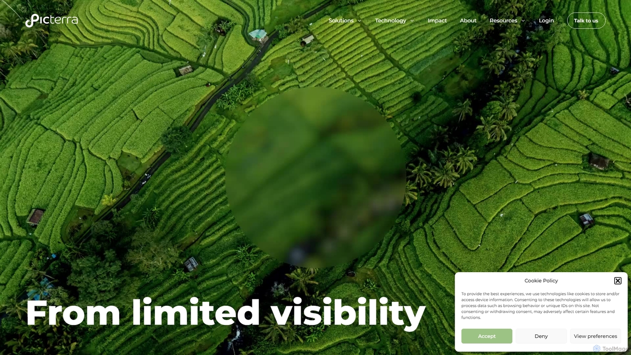
Picterra
Picterra is a GeoAI platform that transforms satellite and aerial imagery into actionable environmental intelligence. It enables sustainability, …
Picterra is a GeoAI platform that transforms satellite and aerial imagery into actionable environmental intelligence. It enables sustainability, agriculture, and compliance teams to monitor global operations, detect risks like deforestation, and verify land use at scale. With its no-code interface, users can build custom AI models to automate analysis and make data-driven decisions for ESG reporting, supply chain management, and climate resilience.
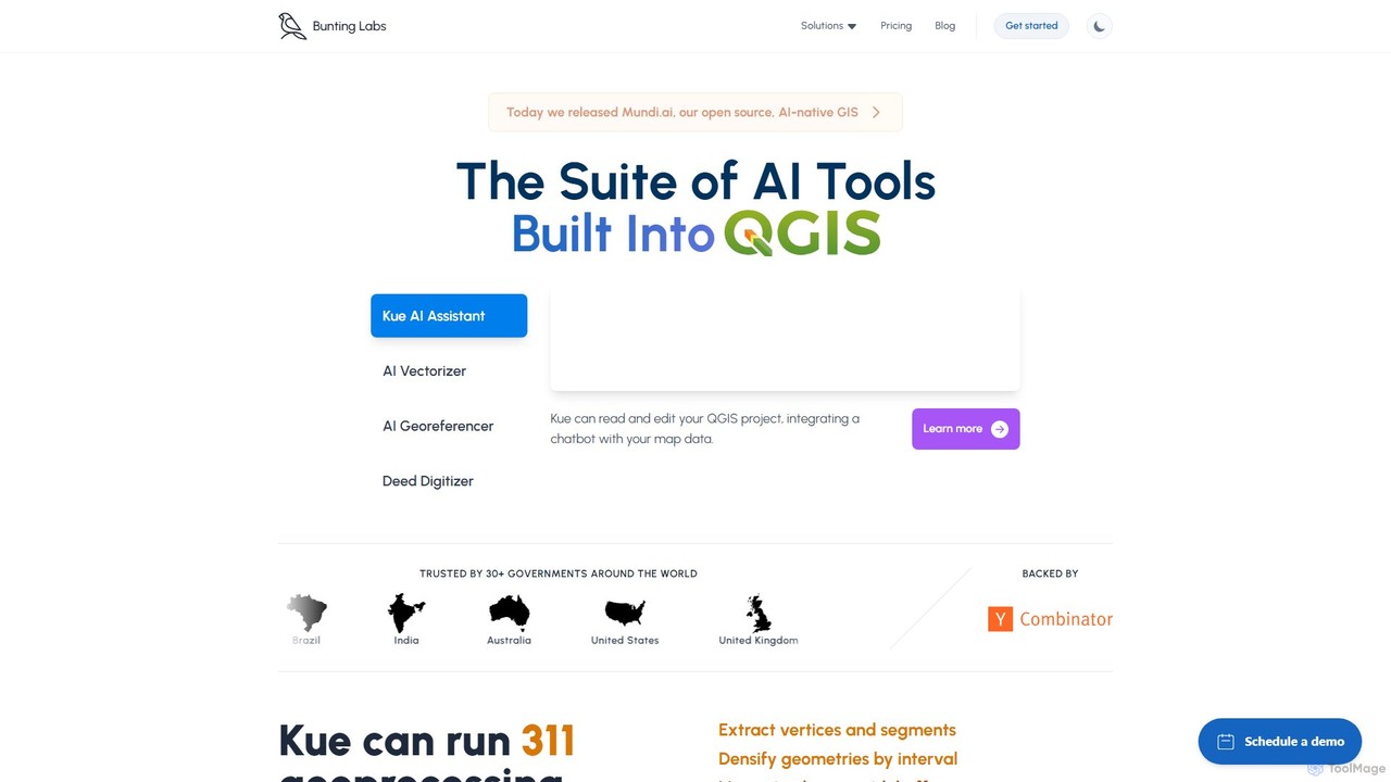
Bunting Labs
Bunting Labs offers a suite of AI-powered tools for GIS professionals, integrated directly into QGIS. It automates and …
Bunting Labs offers a suite of AI-powered tools for GIS professionals, integrated directly into QGIS. It automates and accelerates map digitization, vectorization, and georeferencing, transforming time-consuming manual tasks into efficient, AI-driven workflows. The platform includes an AI assistant, an AI vectorizer, and an AI georeferencer to enhance productivity and data accuracy.