Picterra
Visit Website
Picterra Overview
Picterra is a cutting-edge GeoAI analytics platform designed to convert complex environmental data from satellite, aerial, and drone imagery into clear, decision-ready intelligence. It serves as a 'Mission Control for Environmental Intelligence,' empowering sustainability, agriculture, and land management professionals to gain unprecedented visibility and control over their global operations. By leveraging artificial intelligence, Picterra automates the process of monitoring vast areas, allowing organizations to detect critical risks early, understand environmental impact, and act with confidence based on verifiable geospatial evidence.
How to use Picterra
The platform is designed for accessibility, allowing users without a background in data science to harness the power of GeoAI. The typical workflow is as follows:
- Define Area of Interest: Users start by selecting the geographical areas they need to monitor, which can range from a single farm plot to an entire country.
- Access Imagery: Integrate your own satellite, drone, or aerial imagery, or access Picterra's extensive library of up-to-date geospatial data from various providers.
- Train or Select AI Detectors: Use Picterra's intuitive, no-code interface to train custom AI models. Simply annotate a few examples of the objects or features you want to find (e.g., deforested areas, specific crop types, infrastructure). Alternatively, you can use a range of pre-built detectors for common applications.
- Run Analysis at Scale: Deploy your chosen detector across the entire area of interest. Picterra's scalable cloud infrastructure processes terabytes of data in a fraction of the time it would take manually.
- Visualize and Export Insights: The results are presented on an interactive map and through customizable dashboards. Users can analyze patterns, track changes over time, and generate reports. The data and insights can be exported or integrated into other systems via API.
Core Features of Picterra
- No-Code AI Platform: Build, train, and deploy custom object detection and land classification models without writing a single line of code.
- Scalable Cloud Processing: Analyze thousands of square kilometers of imagery quickly and efficiently, regardless of the data source.
- Pre-built Detector Library: Access a library of ready-to-use models for common use cases like building detection, tree counting, and land use classification.
- Near Real-Time Monitoring: Augment existing ESG, supplier, and farm data with near-real-time insights from the latest satellite imagery.
- Verifiable Geospatial Evidence: Generate auditable, location-based proof for compliance reporting (e.g., EUDR), risk assessment, and sustainability initiatives.
- API Integration: Seamlessly integrate Picterra's analytical outputs into your existing workflows, GIS software, or business intelligence platforms.
- Interactive Dashboards: Visualize complex geospatial data in an easy-to-understand format to identify trends, prioritize actions, and communicate findings.
Use Cases for Picterra
Picterra is used by industry leaders to solve systemic environmental and operational challenges:
- Sustainable Supply Chains: Companies like Walter Matter analyze over 200,000 plots to assess deforestation risk, ensuring EUDR compliance and safeguarding trade flows for commodities like coffee and cocoa.
- Climate-Resilient Agriculture: Organizations like BAT monitor soil health, erosion, and water retention across over 90,000 farms, promoting sustainable agricultural practices.
- National Land Management: Government agencies like the RPA in the UK monitor more than 130,000 km² to validate sustainable farming practices and inform biodiversity-focused policies.
- Insurance and Disaster Response: Insurers can rapidly assess property damage over large areas after natural disasters like floods or wildfires to speed up claims processing.
- Utilities and Infrastructure: Energy companies monitor vegetation encroachment on power lines or inspect the condition of solar farms to ensure operational safety and efficiency.
Advantages of Picterra
Picterra provides a strategic advantage by transforming reactive monitoring into a proactive, intelligence-led strategy. Key benefits include:
- Clarity and Control: Gain a comprehensive, near real-time view of your global operations and supply chains.
- Efficiency at Scale: Automate labor-intensive monitoring tasks, freeing up resources to focus on strategic action.
- Reduced Risk: Proactively identify environmental and compliance risks before they escalate.
- Data-Driven Decisions: Replace assumptions and incomplete data with verifiable, geospatial proof.
- Democratized AI: Empowers subject-matter experts, not just data scientists, to build and use powerful AI models.
Pricing and Plans
Picterra's pricing is tailored to the needs of enterprises and large organizations. The platform operates on a custom pricing model, as requirements for data volume, processing, and support vary significantly between clients. To get a detailed quote, potential customers are encouraged to contact the Picterra sales team for a consultation and a personalized demo. Plans typically factor in the area of analysis (in km²), the number of users, API access levels, and the degree of technical support required.
Picterra Comments (0)
Log in to post comments
Log in nowPicterra Alternatives
View All
Prewave
Prewave is an AI-powered platform for supply chain risk management. It provides real-time monitoring, predictive analytics, and automated …
Prewave is an AI-powered platform for supply chain risk management. It provides real-time monitoring, predictive analytics, and automated compliance to help businesses build resilient and sustainable supply chains. The platform identifies risks across multiple tiers of suppliers, covering ESG, financial, and geopolitical factors.

Data 4 Decarbonization
Data 4 Decarbonization is an AI-powered ESG analytics platform designed to transform sustainability strategies. It leverages advanced algorithms …
Data 4 Decarbonization is an AI-powered ESG analytics platform designed to transform sustainability strategies. It leverages advanced algorithms to analyze sustainability reports, benchmark performance against industry standards, and forecast scenarios for achieving ESG goals, empowering businesses to make data-driven decisions for a greener future.

blackshark.ai
blackshark.ai is an AI-powered Visual Earth Operating System (VEOS) that transforms satellite, aerial, and drone imagery into actionable …
blackshark.ai is an AI-powered Visual Earth Operating System (VEOS) that transforms satellite, aerial, and drone imagery into actionable 2D/3D geospatial intelligence and realistic simulations. It empowers analysts to rapidly train custom AI models for detection, classification, and monitoring, serving the defense, infrastructure, and autonomy sectors with unprecedented speed and flexibility.

Protex AI
Protex AI is an enterprise-grade platform that leverages computer vision and AI to enhance workplace safety. By connecting …
Protex AI is an enterprise-grade platform that leverages computer vision and AI to enhance workplace safety. By connecting to existing CCTV infrastructure, it proactively detects unsafe behaviors and hazards 24/7, enabling EHS teams to make data-driven decisions and prevent incidents before they occur, significantly improving safety culture and operational efficiency.
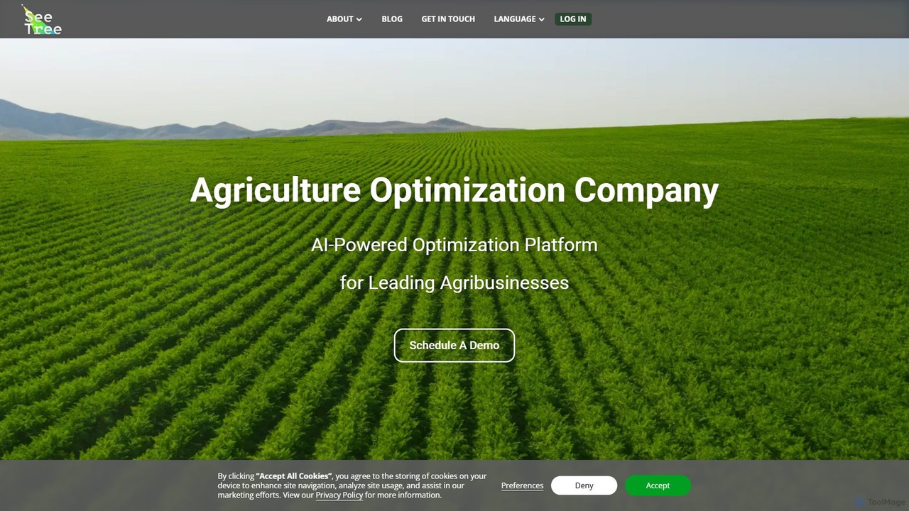
SeeTree
SeeTree is an AI-powered intelligence platform for permanent crop growers. It utilizes drones, computer vision, and machine learning …
SeeTree is an AI-powered intelligence platform for permanent crop growers. It utilizes drones, computer vision, and machine learning to deliver per-tree data on health, yield, and growth, enabling farmers to optimize operations, increase profitability, and make data-driven decisions.
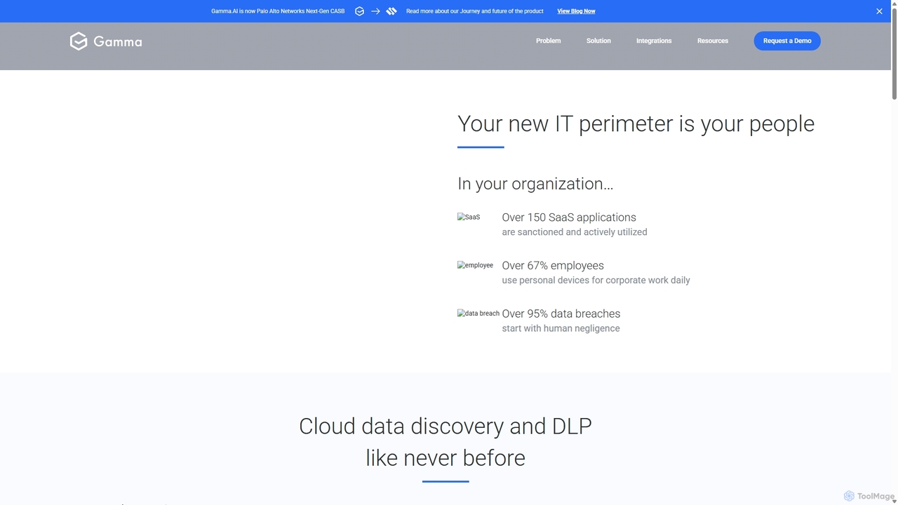
Gamma.AI
Gamma.AI is an AI-powered Cloud Data Loss Prevention (DLP) platform designed for modern SaaS applications. It proactively detects …
Gamma.AI is an AI-powered Cloud Data Loss Prevention (DLP) platform designed for modern SaaS applications. It proactively detects and prevents data breaches originating from insider threats, whether malicious or accidental. By monitoring user activity in real-time across platforms like Google Workspace, Slack, and Salesforce, Gamma.AI provides instant coaching and alerts to foster a strong security culture and ensure compliance.
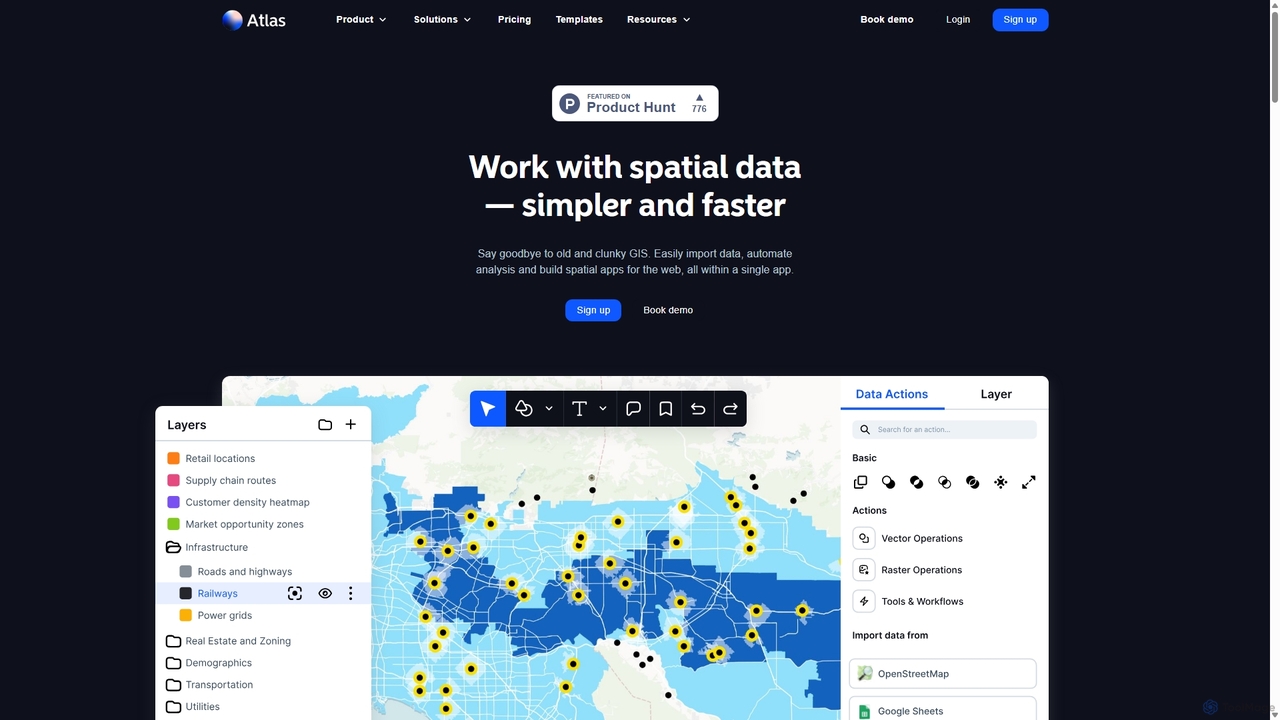
Atlas
Atlas is an all-in-one, browser-based GIS platform that simplifies spatial data analysis and map creation. It enables users …
Atlas is an all-in-one, browser-based GIS platform that simplifies spatial data analysis and map creation. It enables users to easily import data, perform over 50 advanced spatial analyses, and build interactive web maps without prior GIS expertise. Designed for collaboration, Atlas is ideal for teams in sales, marketing, real estate, and environmental analysis to visualize data, identify trends, and make informed, location-driven decisions.

maigon
Maigon is a state-of-the-art AI platform designed for rapid and accurate contract review. It leverages proprietary deep learning …
Maigon is a state-of-the-art AI platform designed for rapid and accurate contract review. It leverages proprietary deep learning models and GPT-4 to analyze legal documents, identify risks, and ensure compliance with regulations like GDPR. Ideal for legal teams, law firms, and businesses, Maigon automates repetitive review tasks, saving time and resources.

Flypix
Flypix is an end-to-end AI platform for geospatial analysis, enabling users to automatically detect, localize, and segment objects …
Flypix is an end-to-end AI platform for geospatial analysis, enabling users to automatically detect, localize, and segment objects in satellite, aerial, and drone imagery. Train custom AI models with no coding required to analyze complex scenes, saving significant time and resources across industries like agriculture, construction, and environmental monitoring.
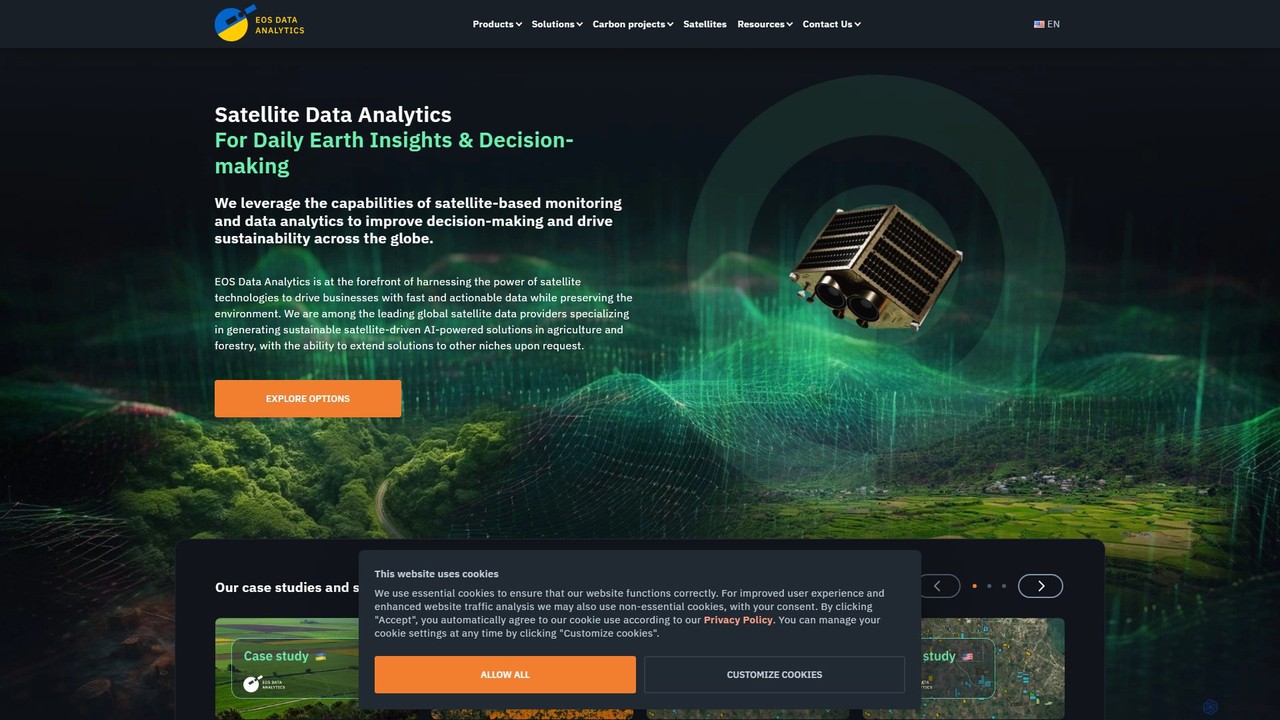
eos
EOS Data Analytics (eos) is an AI-powered platform providing satellite imagery analysis for various industries. It leverages machine …
EOS Data Analytics (eos) is an AI-powered platform providing satellite imagery analysis for various industries. It leverages machine learning to process geospatial data, offering actionable insights for agriculture, forestry, environmental monitoring, and more. The platform helps businesses make data-driven decisions, optimize operations, and mitigate risks through advanced remote sensing technologies.
Picterra Category
Picterra Tag
Picterra Applicable Job
Picterra AI Tool Comparison
Picterra Embed Feature
Just copy the embed code below and paste this beautiful badge on your blog, article, or official app website to drive traffic directly to this tool's detail page and quickly boost your exposure and user count!

No comments yet, be the first to comment!