Picterra
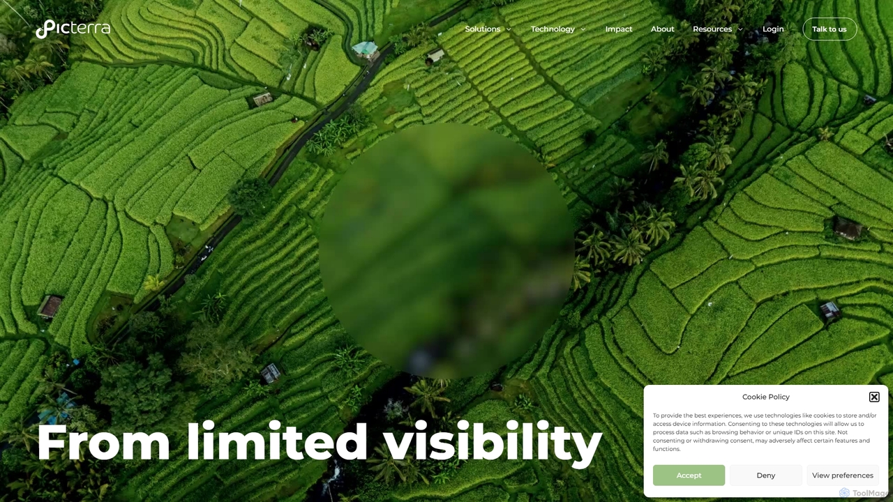
Picterra is a GeoAI platform that transforms satellite and aerial imagery into actionable environmental intelligence. It enables sustainability, …
Picterra is a GeoAI platform that transforms satellite and aerial imagery into actionable environmental intelligence. It enables sustainability, agriculture, and compliance teams to monitor global operations, detect risks like deforestation, and verify land use at scale. With its no-code interface, users can build custom AI models to automate analysis and make data-driven decisions for ESG reporting, supply chain management, and climate resilience.

blackshark.ai
blackshark.ai is an AI-powered Visual Earth Operating System (VEOS) that transforms satellite, aerial, and drone imagery into actionable …
blackshark.ai is an AI-powered Visual Earth Operating System (VEOS) that transforms satellite, aerial, and drone imagery into actionable 2D/3D geospatial intelligence and realistic simulations. It empowers analysts to rapidly train custom AI models for detection, classification, and monitoring, serving the defense, infrastructure, and autonomy sectors with unprecedented speed and flexibility.