Picterra
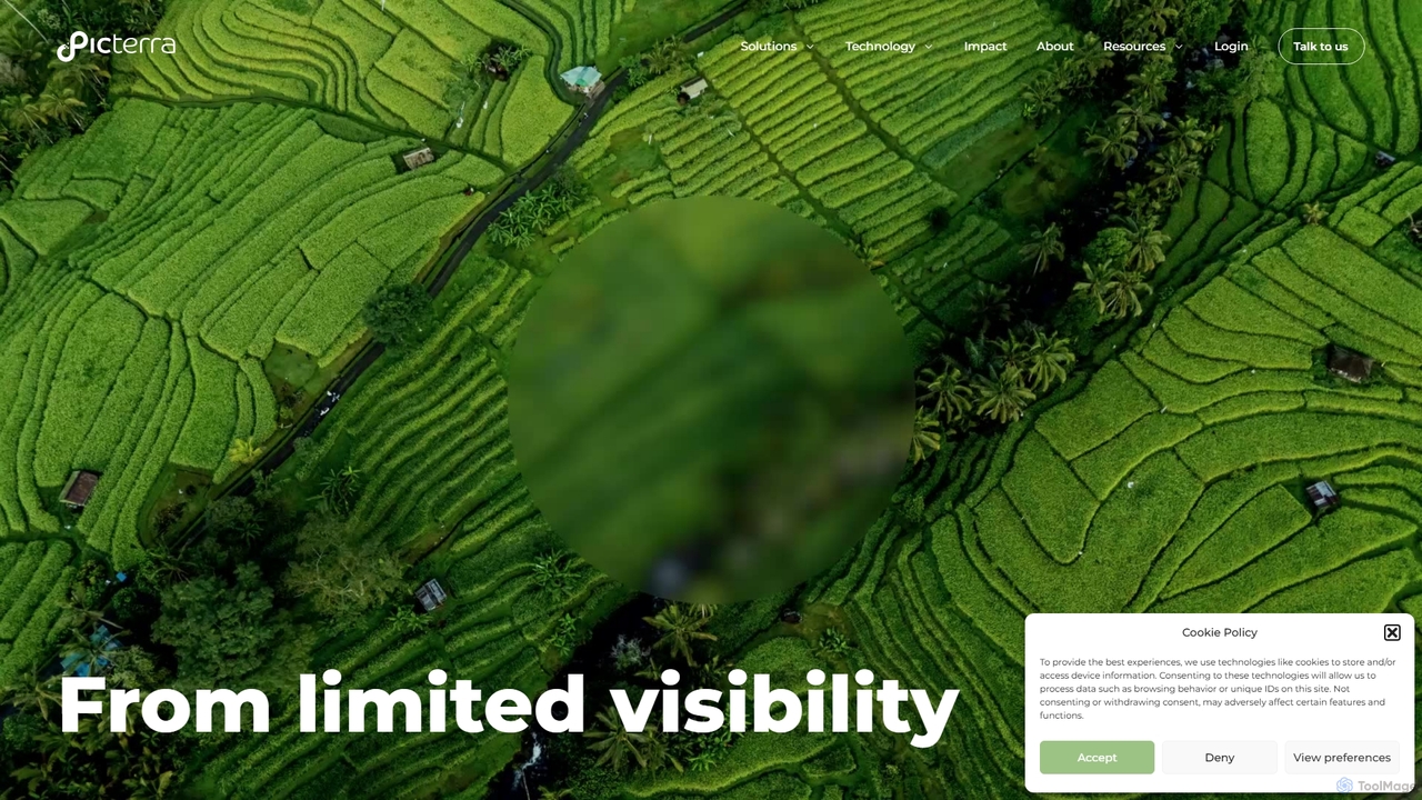
Picterra is a GeoAI platform that transforms satellite and aerial imagery into actionable environmental intelligence. It enables sustainability, …
Picterra is a GeoAI platform that transforms satellite and aerial imagery into actionable environmental intelligence. It enables sustainability, agriculture, and compliance teams to monitor global operations, detect risks like deforestation, and verify land use at scale. With its no-code interface, users can build custom AI models to automate analysis and make data-driven decisions for ESG reporting, supply chain management, and climate resilience.
About Geospatial Intelligence
Geospatial Intelligence (GEOINT) tools are a specialized category of data analysis software that analyzes and visualizes data in a geographical context. These tools integrate location data, satellite imagery, and various datasets to uncover spatial patterns, relationships, and trends. Their primary value lies in transforming raw location-based data into actionable intelligence for strategic decision-making. By adding the 'where' to data analysis, GEOINT tools provide insights that traditional analytics methods often miss.
Core Features
- Spatial Data Visualization: Create interactive maps, heatmaps, 3D models, and dashboards to represent complex geographic information.
- Geospatial Analysis: Perform advanced analysis such as proximity analysis, routing, pattern detection, and site suitability modeling.
- Imagery & Remote Sensing: Process and analyze satellite, aerial, or drone imagery to detect objects, monitor changes, and classify land cover.
- Data Integration & Layering: Combine and overlay diverse data types (e.g., demographic, environmental, business) on a map for comprehensive analysis.
- Predictive Modeling: Utilize historical spatial data and AI to forecast future trends, such as urban growth, resource demand, or risk zones.
Use Cases
GEOINT tools are crucial in sectors like urban planning for infrastructure development, logistics for supply chain optimization, and retail for site selection. They are also used in environmental science to monitor climate change, in agriculture for precision farming, and in defense and intelligence for situational awareness.
How to Choose
When selecting a Geospatial Intelligence tool, consider its data compatibility with formats like GIS, satellite imagery, and APIs. Evaluate the depth of its analytical capabilities, from basic mapping to advanced AI-driven modeling. Assess its visualization quality, integration with other BI systems, and scalability to handle large-scale geographic datasets.
Geospatial IntelligenceUse Cases
Retail Site Selection Analysis
A market analyst for a retail chain uses a Geospatial Intelligence tool to identify the optimal location for a new store. They layer demographic data (income levels, age groups), competitor locations, foot traffic data from mobile devices, and local zoning regulations onto an interactive map. The tool's AI capabilities can then run a suitability analysis to score and rank potential sites based on predefined success criteria, such as maximizing reach to the target demographic while minimizing proximity to competitors. This data-driven approach significantly reduces investment risk and improves the chances of a successful launch.
Optimizing Logistics and Supply Chains
A logistics manager uses a GEOINT platform to monitor their entire fleet of delivery vehicles in real-time. The tool integrates GPS tracking data with live traffic information, weather forecasts, and road closure alerts. By visualizing all assets and potential disruptions on a single map, the manager can proactively reroute vehicles to avoid delays. The system can also perform historical route analysis to identify recurring bottlenecks and optimize standard delivery paths, leading to significant fuel savings and improved delivery times.
Environmental Change Monitoring
An environmental scientist uses a GEOINT tool to track deforestation in a protected rainforest over several years. By analyzing a time-series of satellite imagery, the tool's AI algorithms automatically detect and quantify areas of forest loss. The scientist can then overlay this data with information on illegal logging activities or agricultural expansion to identify the drivers of deforestation. The resulting maps and reports provide compelling evidence for policymakers and conservation groups to take targeted action.
Urban Planning and Infrastructure Development
A city planner uses a GEOINT tool to model the potential impact of a new subway line. They create a 3D model of the city and simulate changes in traffic flow, pedestrian accessibility to stations, and noise pollution in surrounding neighborhoods. The platform also allows them to analyze demographic data to ensure the new line serves underserved communities equitably. This comprehensive spatial analysis helps justify the project to stakeholders and optimize the final route for maximum public benefit.
Precision Agriculture Management
A farm manager uses a GEOINT application that processes drone and satellite imagery of their fields. The tool analyzes the spectral data to create detailed maps showing crop health, soil moisture levels, and pest infestations. Instead of treating the entire field uniformly, the manager can use these maps to apply water, fertilizer, or pesticides only where needed. This practice, known as precision agriculture, leads to higher yields, reduced costs, and a lower environmental impact.
Insurance Risk Assessment and Claims Management
An insurance underwriter uses a GEOINT platform to assess property risk before issuing a policy. They can visualize a property's location relative to flood zones, wildfire risk areas, and historical storm paths. After a natural disaster, claims adjusters use the same platform with post-event satellite imagery to quickly assess the extent of damage across a wide area without needing to visit every site immediately. This accelerates the claims process for customers and helps the company allocate resources more effectively.