blackshark.ai
Visit Website
blackshark.ai Overview
blackshark.ai provides a revolutionary platform, the Visual Earth Operating System (VEOS), designed to create a real-time, 3D digital twin of the entire planet. By processing vast amounts of imagery from any source—be it satellite, aerial, or drone—the platform extracts critical insights and reconstructs the world in stunning detail. Its core mission is to democratize geospatial AI, making powerful analytical and simulation capabilities accessible to analysts, enterprises, and governments without requiring deep engineering expertise. The platform is built to think like an analyst, enabling rapid, intuitive, and mission-focused data interpretation.
How to use blackshark.ai
The platform operates on a streamlined, five-step workflow that takes users from raw pixels to actionable intelligence and immersive simulations:
- INGEST: Users begin by ingesting any imagery or sensor source at scale. The system is pixel-agnostic and can handle multi-resolution raster, LiDAR, DSM, and specialized formats like NITF or STAC-indexed COG. It's designed to process petabyte-sized repositories without preprocessing.
- TRAIN: Using the platform's no-code AI training tools, analysts can build custom detection models in minutes. This analyst-driven approach allows domain experts to teach the AI to identify specific objects, features, or changes relevant to their mission.
- DETECT: Once trained, models are deployed across vast geographical areas to automatically detect, classify, and map features with high precision. This is powered by REVEAL™, the platform's component for 2D feature extraction and analysis.
- RECONSTRUCT 3D: The 2D detection results can be transformed into high-fidelity, simulation-ready 3D environments using REPLIKA™. This module generates procedurally enriched, photorealistic worlds compatible with leading simulation engines like Unreal Engine 5.
- EXPORT: The final outputs, whether 2D feature data or 3D models, can be seamlessly exported and integrated into existing GIS, sovereign workflows, or simulation testbeds.
Core Features of blackshark.ai
- Visual Earth Operating System (VEOS): A single, unified platform to train AI, extract 2D/3D features, and manage the entire geospatial intelligence lifecycle.
- Rapid No-Code AI Training: Empowers non-technical analysts to create highly accurate, custom AI models in an average of 18 minutes, drastically reducing development time.
- Advanced Feature Detection (REVEAL™): Enables high-granularity object detection, land use classification, change detection over time, and damage assessment.
- High-Fidelity 3D Reconstruction (REPLIKA™): Automatically generates large-scale, realistic 3D environments with physics-based rendering for simulation and digital twin applications.
- Multi-Source Data Fusion: Ingests and unifies satellite, aerial, drone, LiDAR, and DSM data into a single, coherent operational picture.
- Flexible Deployment Architecture: Can be deployed on the cloud, on-premise, in air-gapped environments, or on tactical edge devices, ensuring data sovereignty and security.
- Scalable & Continuous Monitoring: Designed to process petabytes of data and provide continuous monitoring of any location on Earth with any sensor.
Use Cases for blackshark.ai
blackshark.ai is a multi-domain platform adaptable to a wide range of critical missions:
- Defense & Intelligence: Used for denied-area mapping, continuous monitoring of strategic sites, and generating synthetic training environments for mission rehearsal.
- Disaster Management & Response: Proven in real-world scenarios like the LA wildfire, where it enabled rapid building damage assessment with 99.3% accuracy, helping to triage response and reconstruction efforts.
- Urban & Environmental Planning: Supports city planners and environmental agencies in monitoring land use, tracking urban development, detecting illegal construction, and quantifying environmental changes like deforestation or vegetation loss.
- Infrastructure & Energy: Enables high-granularity detection and measurement of assets, such as individual solar panels, to monitor capacity and condition over time.
- Autonomous Systems & Simulation: Provides the foundational layer for creating vast, realistic synthetic worlds to test and train visual sensors for autonomous vehicles and drones.
Advantages of blackshark.ai
The platform offers a significant competitive edge through its unique approach:
- Unprecedented Speed and Agility: Reduces the time from data acquisition to actionable insight from months to mere hours.
- Analyst Empowerment: Shifts AI model creation from data scientists to the domain experts on the front lines, ensuring models are tailored to specific mission needs.
- Mission Adaptability: A single, versatile platform that serves numerous missions, from national defense to urban planning, without modification.
- Data Sovereignty and Security: Full control over data and AI models with deployment options that meet the strictest security and sovereign requirements.
- Collaborative Network Effect: Every model trained by an analyst can be reused, shared, and adapted, making the entire system smarter and more effective with each use.
Pricing and Plans
blackshark.ai operates on an enterprise-level, business-to-government (B2G) and business-to-business (B2B) model. Pricing is customized based on the specific needs, scale of deployment, and use cases of an organization. There are no publicly listed standard plans. Interested parties are encouraged to contact the blackshark.ai team directly to request a demo and receive a tailored quote.
blackshark.ai Comments (0)
Log in to post comments
Log in nowblackshark.aiWebsite Traffic Analysis
Latest Traffic
Status
Monthly Traffic Trend
Geography
Top 5 Countries/Regions
-
🇺🇸 United States42.09%
-
🇮🇳 India15.51%
-
🇩🇪 Germany14.74%
-
🇬🇧 United Kingdom14.54%
-
🇦🇹 Austria13.12%
Popular Keywords
| Keyword | Cost Per Click |
|---|---|
|
$0.33
|
|
|
$2.96
|
|
|
$0.00
|
|
|
$0.00
|
|
|
$0.00
|
blackshark.ai Alternatives
View All
Flypix
Flypix is an end-to-end AI platform for geospatial analysis, enabling users to automatically detect, localize, and segment objects …
Flypix is an end-to-end AI platform for geospatial analysis, enabling users to automatically detect, localize, and segment objects in satellite, aerial, and drone imagery. Train custom AI models with no coding required to analyze complex scenes, saving significant time and resources across industries like agriculture, construction, and environmental monitoring.
Maplytics
Maplytics is a certified geo-analytical mapping app that integrates Azure or Bing Maps with Microsoft Dynamics 365 and …
Maplytics is a certified geo-analytical mapping app that integrates Azure or Bing Maps with Microsoft Dynamics 365 and Power Platform. It provides powerful location intelligence features like route optimization, territory management, radius search, and heat maps to enhance sales, service, and marketing operations, enabling data-driven decisions and boosting ROI.

Picterra
Picterra is a GeoAI platform that enables users to analyze satellite and drone imagery to extract insights. It …
Picterra is a GeoAI platform that enables users to analyze satellite and drone imagery to extract insights. It provides a no-code environment for building and deploying object detection models, empowering industries like agriculture, ESG, and infrastructure with scalable environmental intelligence.
Satlas
Satlas is an AI-powered platform by the Allen Institute for AI that provides open, high-resolution geospatial data. It …
Satlas is an AI-powered platform by the Allen Institute for AI that provides open, high-resolution geospatial data. It uses advanced computer vision models to analyze global satellite imagery, tracking changes in tree cover, renewable energy, and marine infrastructure. Its key feature is Super-Resolution, which enhances low-resolution images for detailed analysis.
Mappedin
Mappedin is an AI-powered platform that transforms static floor plans into interactive 3D indoor maps in minutes. It's …
Mappedin is an AI-powered platform that transforms static floor plans into interactive 3D indoor maps in minutes. It's designed for venues of all types to enhance visitor experience, streamline operations, and improve safety with intuitive navigation, real-time data visualization, and powerful management tools.
Spheron
Spheron is a decentralized GPU network (DePIN) that provides scalable and cost-effective compute power for AI/ML workloads. By …
Spheron is a decentralized GPU network (DePIN) that provides scalable and cost-effective compute power for AI/ML workloads. By aggregating idle resources from gaming rigs, data centers, and mining farms, it offers a resilient, censorship-resistant, and up to 80% cheaper alternative to traditional cloud providers.

May Mobility
May Mobility is an autonomous vehicle (AV) technology company that develops and deploys self-driving transit solutions. Leveraging its …
May Mobility is an autonomous vehicle (AV) technology company that develops and deploys self-driving transit solutions. Leveraging its proprietary Multi-Policy Decision Making (MPDM) AI, May Mobility provides safe, accessible, and reliable autonomous rides, partnering with cities, transit agencies, and businesses to solve transportation challenges.
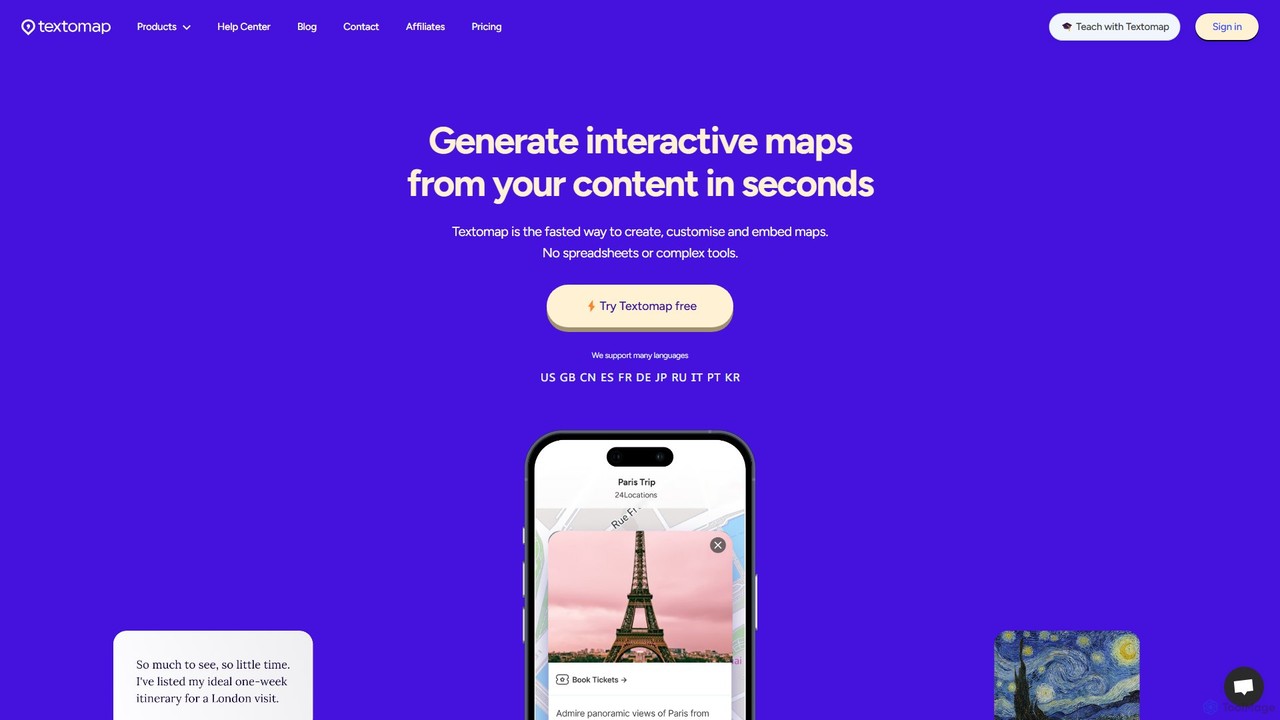
Textomap
Textomap is an AI-powered tool that instantly transforms text, ChatGPT prompts, images, or CSV files into interactive, customizable …
Textomap is an AI-powered tool that instantly transforms text, ChatGPT prompts, images, or CSV files into interactive, customizable maps. It's designed for content creators, educators, and travel professionals to visualize location-based data effortlessly, saving hours of manual work.
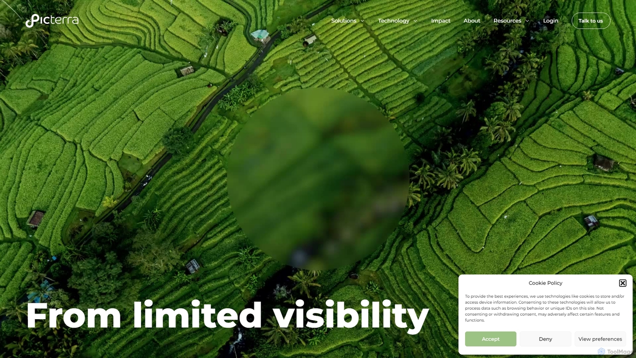
Picterra
Picterra is a GeoAI platform that transforms satellite and aerial imagery into actionable environmental intelligence. It enables sustainability, …
Picterra is a GeoAI platform that transforms satellite and aerial imagery into actionable environmental intelligence. It enables sustainability, agriculture, and compliance teams to monitor global operations, detect risks like deforestation, and verify land use at scale. With its no-code interface, users can build custom AI models to automate analysis and make data-driven decisions for ESG reporting, supply chain management, and climate resilience.
Rescale
Rescale is a cloud-based High Performance Computing (HPC) platform designed to accelerate engineering and scientific R&D. It provides …
Rescale is a cloud-based High Performance Computing (HPC) platform designed to accelerate engineering and scientific R&D. It provides on-demand access to a multi-cloud infrastructure, a vast catalog of simulation and AI software, and a unified environment for managing complex workflows, data, and security. It empowers organizations in aerospace, automotive, life sciences, and more to innovate faster and more efficiently.
blackshark.ai Category
blackshark.ai Tag
blackshark.ai AI Tool Comparison
blackshark.ai Embed Feature
Just copy the embed code below and paste this beautiful badge on your blog, article, or official app website to drive traffic directly to this tool's detail page and quickly boost your exposure and user count!

No comments yet, be the first to comment!