
Satlas Overview
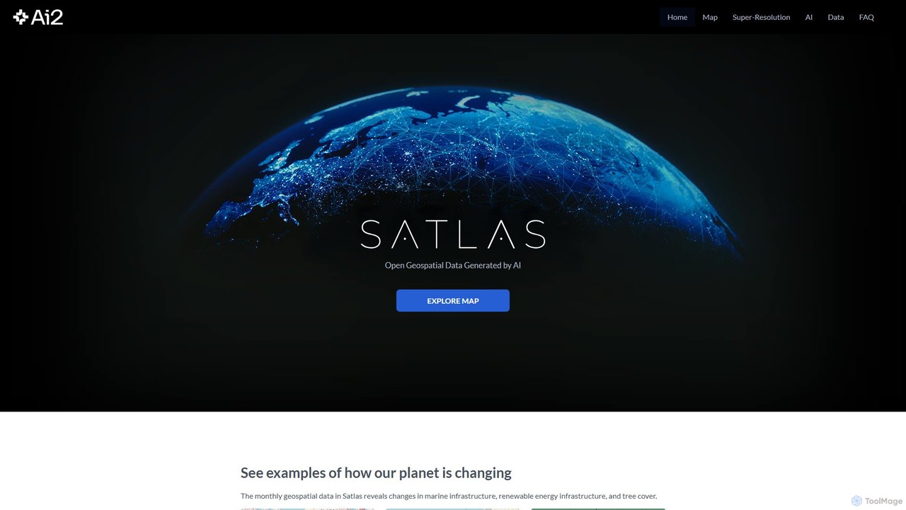
Satlas, developed by the Allen Institute for AI (AI2), is a pioneering platform that provides open and AI-generated geospatial data to the public. Its core mission is to leverage state-of-the-art artificial intelligence to analyze vast amounts of satellite imagery, making it possible to monitor our planet's changes with unprecedented detail and frequency. By processing public domain imagery from the European Space Agency’s Sentinel-2 satellites, Satlas generates high-accuracy, global datasets that are updated monthly, revealing trends in deforestation, renewable energy expansion, and marine infrastructure development.
The platform is built upon a foundation of powerful computer vision models trained on SatlasPretrain, a massive proprietary dataset with over 30 TB of imagery and 300 million labels. This allows Satlas to identify and classify features like wind turbines, solar farms, and tree cover with remarkable precision. The entire project, including the data, AI models, and training code, is made freely available to foster research, transparency, and innovation in environmental science and beyond.
How to use Satlas
Using Satlas is straightforward, catering to both casual observers and data professionals:
- Explore the Interactive Map: The primary way to interact with Satlas is through its global map. Users can navigate to any location on Earth to view the data.
- Select Data Layers: On the map interface, you can toggle different data layers, including Marine Infrastructure (offshore wind turbines, platforms), Renewable Energy (solar farms, onshore wind turbines), and Tree Cover. This allows you to focus on specific areas of interest.
- Analyze Change Over Time: Satlas features powerful time-lapse tools. You can use a time slider or select different dates in a side-by-side or split-screen view to visually compare how a region has changed between months or years.
- Leverage Super-Resolution: For a more detailed view, you can activate the Super-Resolution layer. This AI-enhanced imagery transforms standard Sentinel-2 images into high-resolution visuals, revealing details like individual structures or small-scale land changes that are otherwise invisible.
- Download Data for Offline Analysis: For researchers, journalists, and analysts, all AI-generated geospatial data is available for download in standard GeoJSON or GeoTIFF formats from the 'Data' section of the website.
- Access AI Models: For advanced users, the underlying AI models and source code are available on GitHub, allowing for custom analysis or integration into other projects.
Core Features of Satlas
- AI-Generated Geospatial Datasets: Provides high-accuracy, global, and monthly updated data on marine infrastructure, renewable energy, and tree cover.
- Super-Resolution Imagery: An AI model (adapted from ESRGAN) that enhances 10m resolution Sentinel-2 imagery to produce high-resolution, cloud-free views, often more up-to-date than commercial mapping services.
- Interactive Time-Lapse Visualization: An intuitive map interface with single, side-by-side, and split-screen layouts to easily track and visualize environmental and infrastructural changes over time.
- Completely Open and Accessible: All data is released under the open ODC-BY license, and the AI models and code are open-sourced, removing barriers to access for researchers, NGOs, and the public.
- Global Coverage and High Frequency: Offers a worldwide perspective on critical trends with monthly updates, enabling timely analysis and response.
Use Cases for Satlas
Satlas is a versatile tool with applications across various fields:
- Environmental Monitoring: Researchers and conservation groups can track Amazon rainforest deforestation, monitor the impact of logging activities, and assess changes in global tree cover.
- Renewable Energy Tracking: Governments and energy analysts can quantify the growth of solar and wind farms globally, helping to verify renewable energy goals and plan future developments.
- Infrastructure and Urban Planning: Planners and engineers can observe the development of large-scale projects like dams, ports, and offshore platforms, using up-to-date imagery for monitoring and assessment.
- Journalism and Reporting: Journalists can use the compelling visual evidence from Satlas to create data-driven stories about climate change, global development, and environmental issues.
- Disaster Response: The high-resolution and frequently updated imagery can be invaluable for assessing building damage and landscape changes after natural disasters like floods or wildfires.
Advantages of Satlas
The primary advantage of Satlas is its commitment to democratizing access to crucial Earth observation data. By making its high-quality, AI-generated datasets and tools completely free, it empowers a global community of users who may not have access to expensive commercial data. Its use of cutting-edge AI ensures high accuracy and the unique Super-Resolution feature provides insights that are not available from other free platforms. Furthermore, its transparency through open-sourcing models and code builds trust and encourages collaborative scientific advancement.
Pricing and Plans
Satlas is a non-profit project from the Allen Institute for AI and is completely free to use. All AI-generated geospatial data, super-resolution imagery, and the underlying AI models are publicly available at no cost. The data is released under the permissive ODC-BY license, which allows for sharing, use, and adaptation for any purpose, including commercial applications, with proper attribution.
Traffic
Latest traffic
Status
Monthly traffic trend
- 2025-9: 1.8K
- 2026-1: 1.6K
- 2026-2: 1.5K
- 2026-3: 2.5K
- 2026-4: 1.8K
- 2026-5: 2.1K
Geography
Top 5 countries / regions
- 🇺🇸United States59.1%
- 🇮🇳India12.3%
- 🇩🇪Germany11.2%
- 🇮🇹Italy9.2%
- 🇦🇪United Arab Emirates8.2%
Traffic sources
| Source type | Percentage |
|---|---|
Direct | 66.7% |
Referral | 33.3% |
Top keywords
| Keyword | Cost per click |
|---|---|
| alan satellite | $0.00 |
| allen ai | $3.13 |
| satlas | $0.00 |
| super resolution | $0.51 |
| super resolution ai | $0.40 |
Satlas Alternatives

Flypix
Flypix is an end-to-end AI platform for geospatial analysis, enabling users to automatically detect, localize, and segment objects in satellite, aerial, and drone imagery. Train custom AI models with no coding required to analyze complex scenes, saving significant time and resources across industries like agriculture, construction, and environmental monitoring.
3D
Picterra
Picterra is a GeoAI platform that enables users to analyze satellite and drone imagery to extract insights. It provides a no-code environment for building and deploying object detection models, empowering industries like agriculture, ESG, and infrastructure with scalable environmental intelligence.
Environmental Social Governance
Google Research
Google Research is a premier hub for exploring groundbreaking advancements in science and AI. It provides open access to a vast repository of research papers, project showcases, and open-source resources across diverse fields like machine learning, quantum computing, and healthcare. It's an essential platform for researchers, developers, and enthusiasts to stay at the forefront of technological innovation and understand its real-world impact.
Learning Platform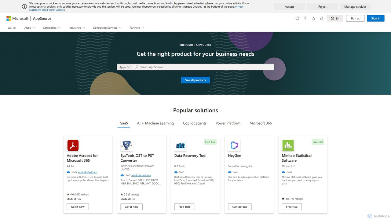
Maplytics
Maplytics is a certified geo-analytical mapping app that integrates Azure or Bing Maps with Microsoft Dynamics 365 and Power Platform. It provides powerful location intelligence features like route optimization, territory management, radius search, and heat maps to enhance sales, service, and marketing operations, enabling data-driven decisions and boosting ROI.
Geospatial Intelligence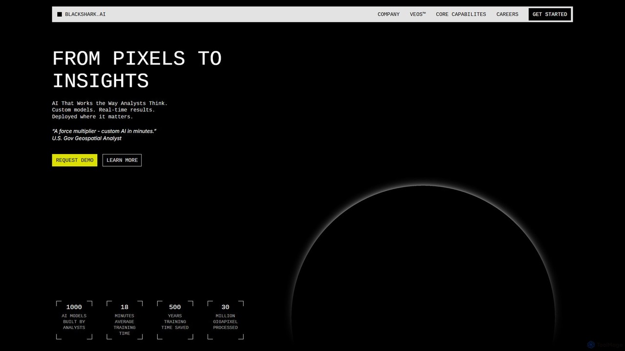
blackshark.ai
blackshark.ai is an AI-powered Visual Earth Operating System (VEOS) that transforms satellite, aerial, and drone imagery into actionable 2D/3D geospatial intelligence and realistic simulations. It empowers analysts to rapidly train custom AI models for detection, classification, and monitoring, serving the defense, infrastructure, and autonomy sectors with unprecedented speed and flexibility.
SimulationSatlas Categories
Satlas Embed Widget
Copy this embed code to place the badge on your blog, article, or product site and send readers directly to this ToolMage detail page.

Related AI tools
Flypix
Flypix is an end-to-end AI platform for geospatial analysis, enabling users to automatically detect, localize, and segment objects in satellite, aerial, and drone imagery. Train custom AI models with no coding required to analyze complex scenes, saving significant time and resources across industries like agriculture, construction, and environmental monitoring.
3DPicterra
Picterra is a GeoAI platform that enables users to analyze satellite and drone imagery to extract insights. It provides a no-code environment for building and deploying object detection models, empowering industries like agriculture, ESG, and infrastructure with scalable environmental intelligence.
Environmental Social Governance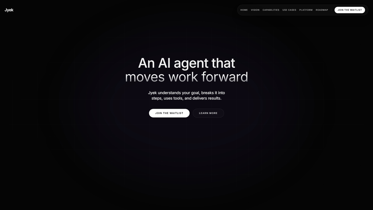
Jyek
Jyek is an AI agent platform that understands objectives, creates execution plans, uses tools, and delivers verifiable results for complex, multi-step tasks.
Automation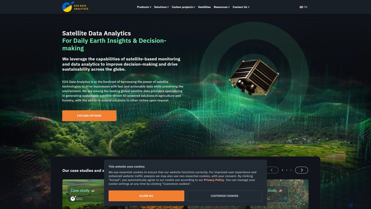
eos
EOS Data Analytics (eos) is an AI-powered platform providing satellite imagery analysis for various industries. It leverages machine learning to process geospatial data, offering actionable insights for agriculture, forestry, environmental monitoring, and more. The platform helps businesses make data-driven decisions, optimize operations, and mitigate risks through advanced remote sensing technologies.
Agriculture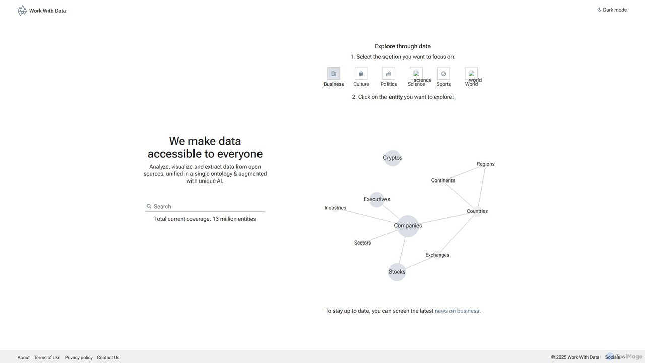
Work With Data
Work With Data is an AI-enhanced platform that makes open data accessible to everyone. It allows users to analyze, visualize, and extract data from diverse open sources, all unified in a single, easy-to-navigate ontology, augmented with unique AI for deeper insights and forecasting.
3D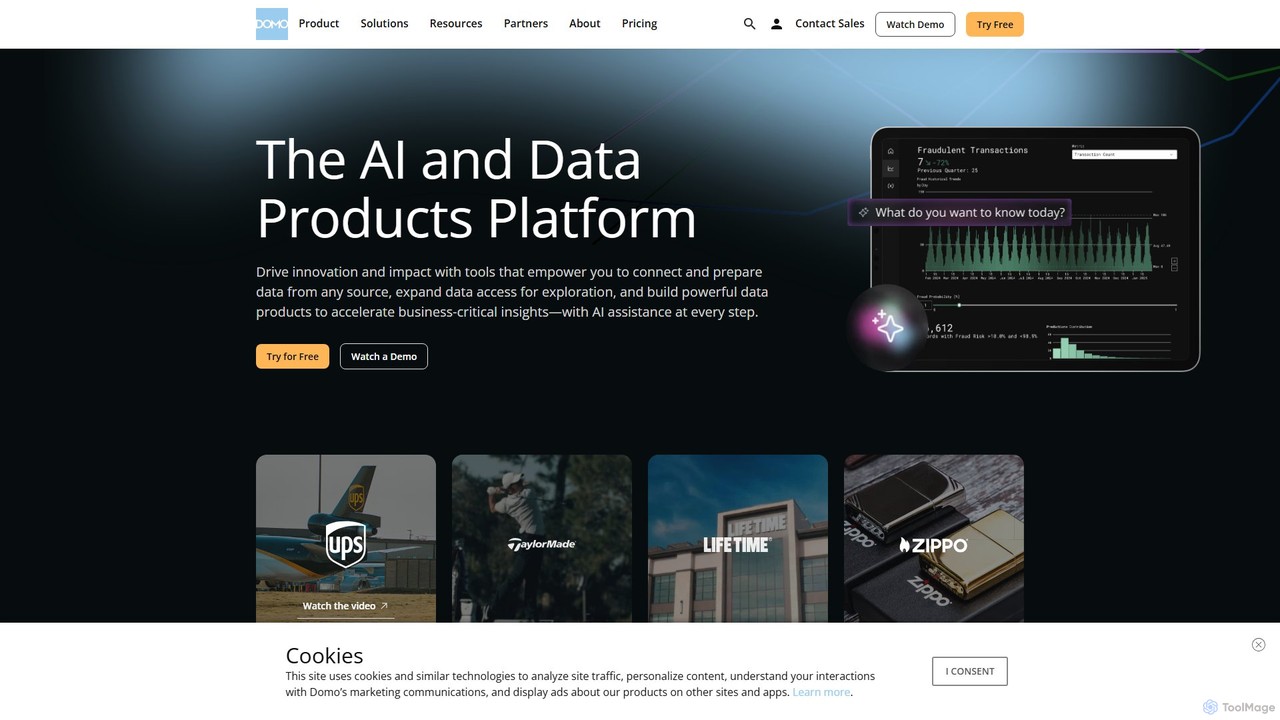
Domo
Domo is an AI-powered cloud platform that integrates all your business data, providing real-time analytics, interactive dashboards, and automated workflows. It empowers users to build data products, create AI agents, and make faster, data-driven decisions across the entire organization.
Business Intelligence
MacroMicro
MacroMicro is an AI-powered macro analytics platform for investors and financial analysts. It transforms complex global economic data into intuitive, dynamic charts and actionable insights. Leveraging AI for sentiment analysis on central bank statements and providing over 40,000 charts, it helps users track market cycles, identify trends, and optimize investment strategies across stocks, forex, bonds, and commodities.
Analytics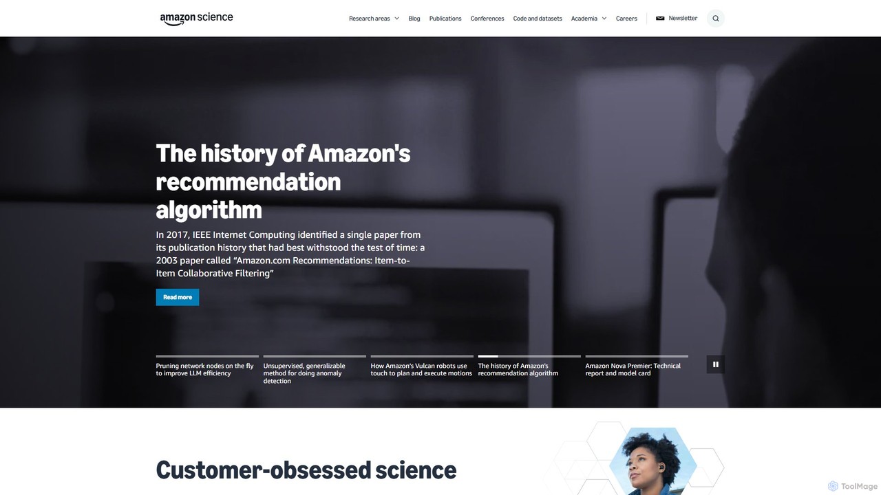
Amazon Science
Amazon Science is the official hub for Amazon's cutting-edge scientific research and innovation. It provides free access to a vast repository of research papers, articles, and news across diverse fields like AI, machine learning, robotics, and computer vision, connecting academia with industry.
Data Science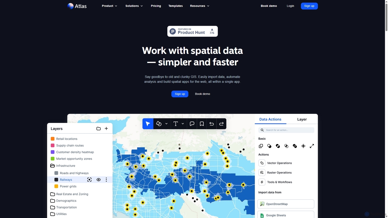
Atlas
Atlas is an all-in-one, browser-based GIS platform that simplifies spatial data analysis and map creation. It enables users to easily import data, perform over 50 advanced spatial analyses, and build interactive web maps without prior GIS expertise. Designed for collaboration, Atlas is ideal for teams in sales, marketing, real estate, and environmental analysis to visualize data, identify trends, and make informed, location-driven decisions.
Business Intelligence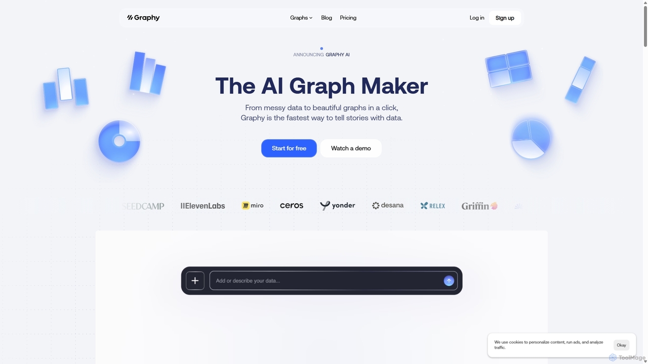
Graphy
Graphy is an AI-powered data visualization tool that transforms raw data into beautiful, interactive charts and graphs in seconds. It simplifies data storytelling by automatically identifying key insights, allowing users to chat with their data, and offering extensive customization. Ideal for marketers, analysts, and teams who need to create compelling visual reports and presentations without complex software.
3D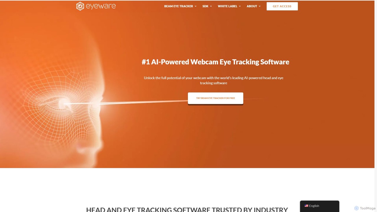
Eyeware
Eyeware provides AI-powered head and eye tracking software that transforms standard webcams into powerful tracking devices. It offers solutions for immersive gaming, enhanced live streaming, productivity, user research, and OEM integration, eliminating the need for specialized hardware.
User Behavior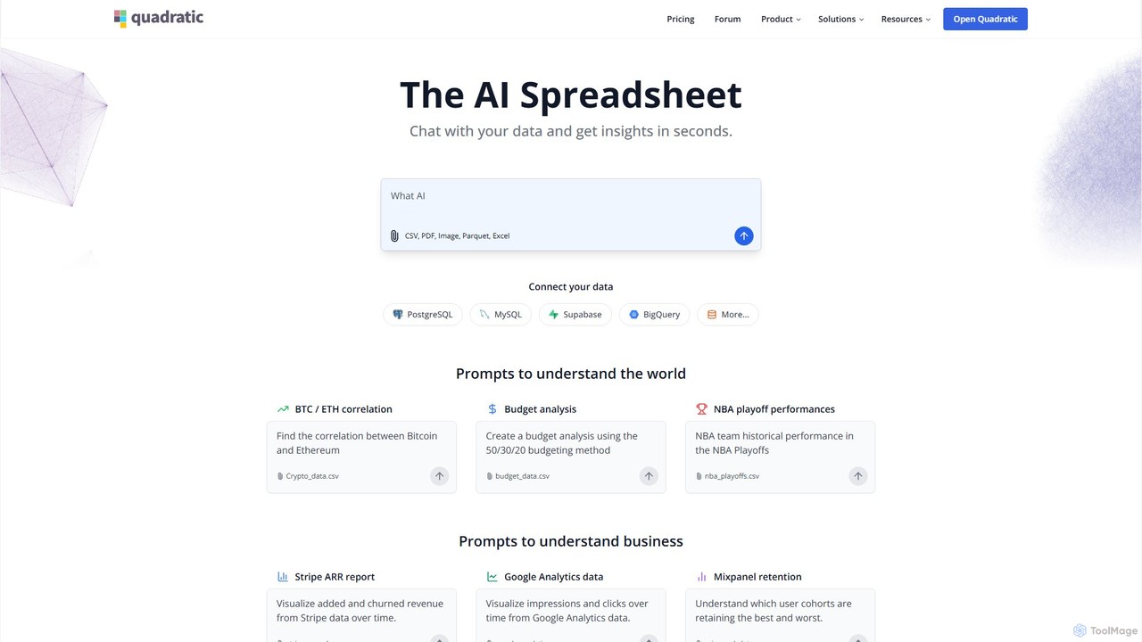
Quadratic
Quadratic is a powerful AI spreadsheet that integrates a familiar interface with Python, SQL, and natural language prompts. Connect directly to live databases, analyze data, extract information from PDFs, and create visualizations instantly. It's a secure, collaborative platform for data analysts, business professionals, and developers.
Business Intelligence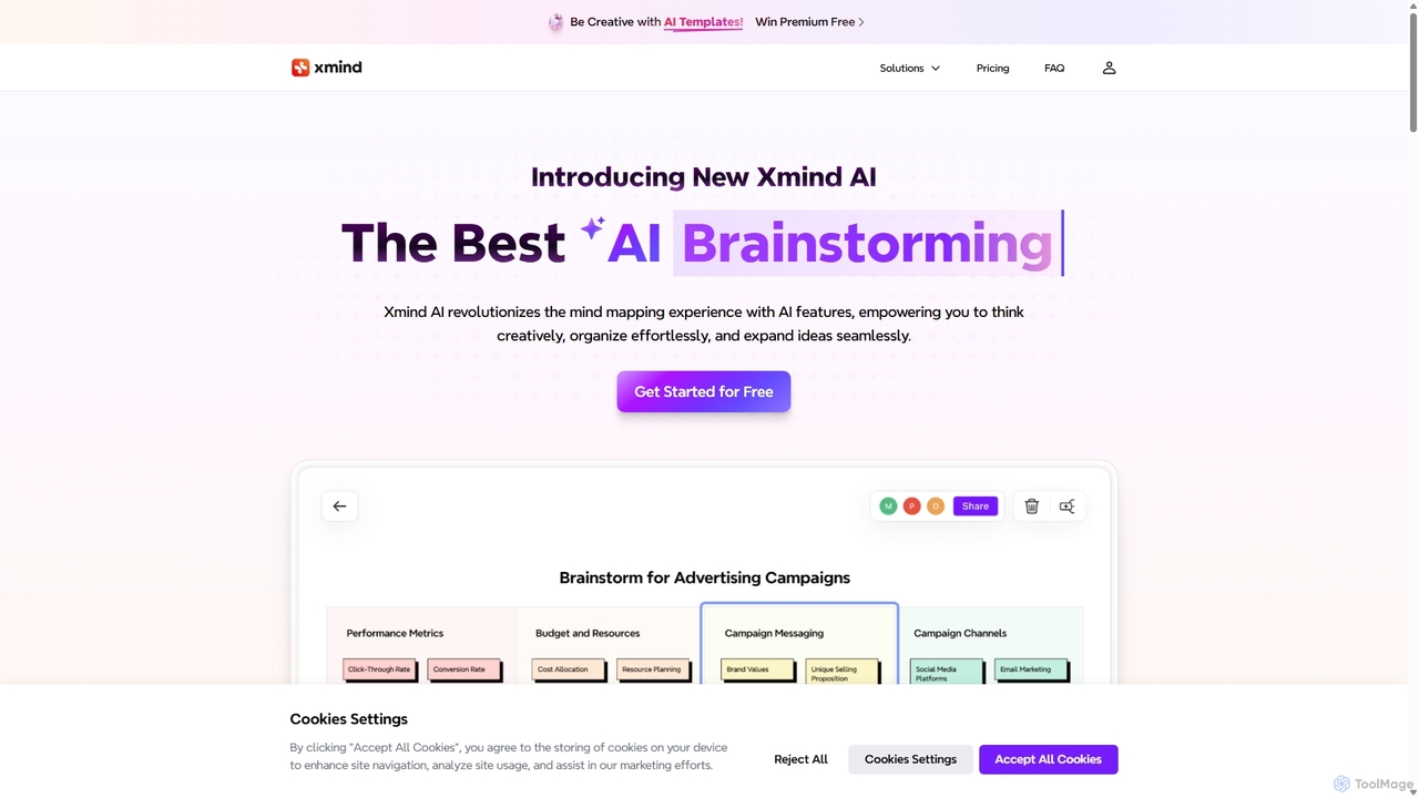
Xmind AI
Xmind AI is an advanced AI-powered mind mapping and brainstorming tool designed to enhance creativity and productivity. It helps users visualize thoughts, organize complex information, and collaborate with teams in real-time. With features like AI-driven idea generation, content summarization, and automated to-do lists, Xmind AI transforms abstract concepts into structured, actionable plans.
Teamwork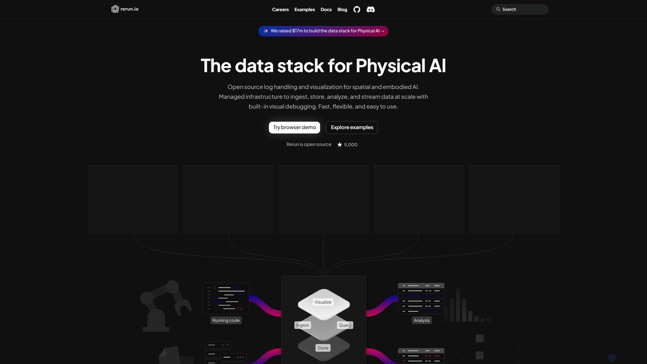
Rerun
Rerun is an open-source data stack for Physical AI, providing powerful logging and visualization tools for multimodal, time-series data. Designed for robotics, computer vision, and spatial computing, it helps developers understand and debug complex systems with SDKs for Python, Rust, and C++.
Machine Learning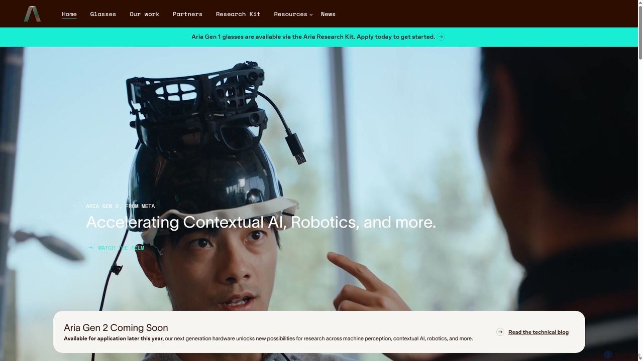
Project Aria
Project Aria is a research initiative by Meta designed to accelerate the development of contextual AI, augmented reality (AR), and robotics. It utilizes advanced research glasses, like the Aria Gen 2, to capture first-person perspective data, providing researchers with a comprehensive platform including hardware, open-source datasets, and development tools to build the future of machine perception.
Datasets
Satlas Comments (0)
Sign in to comment.
Sign inNo comments yet.