Satlas
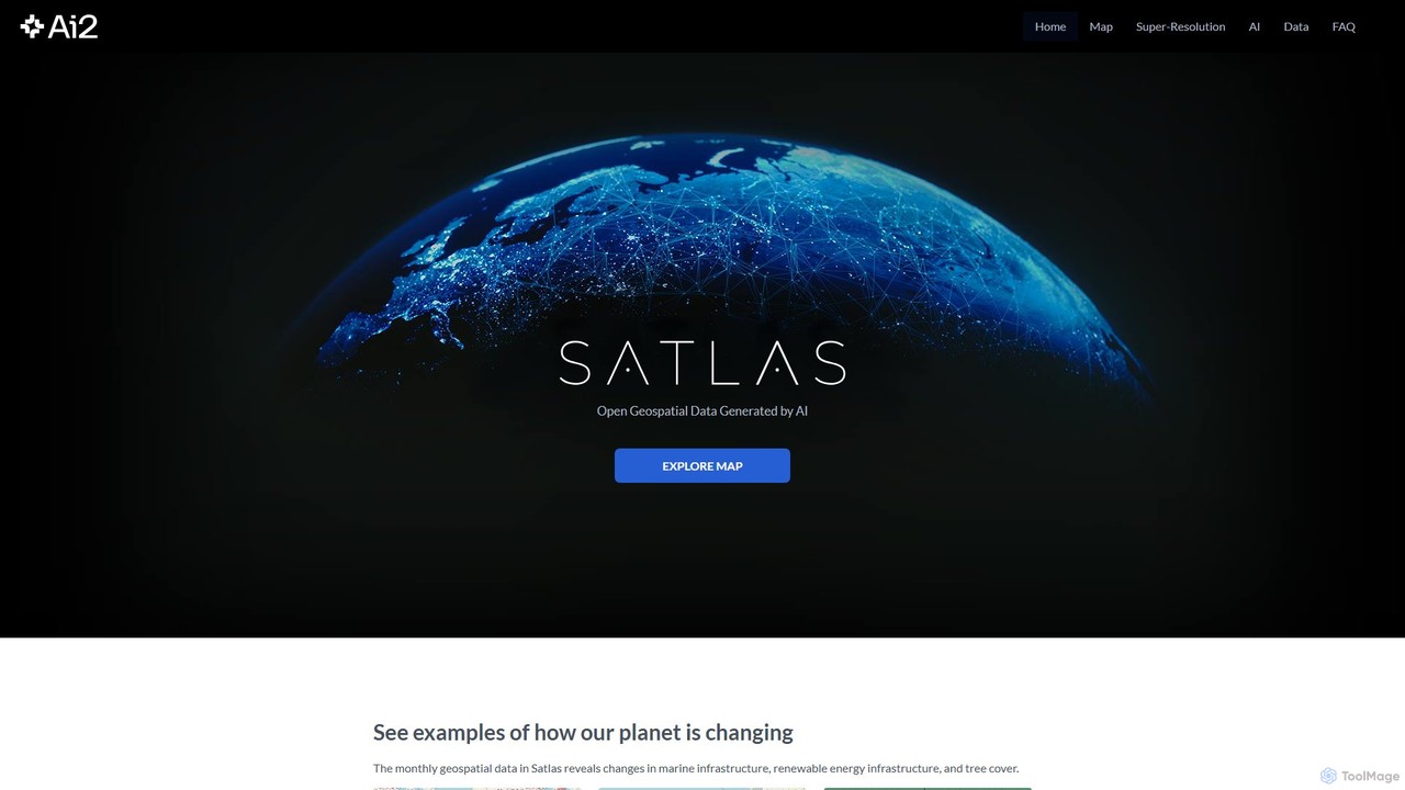
Satlas is an AI-powered platform by the Allen Institute for AI that provides open, high-resolution geospatial data. It …
Satlas is an AI-powered platform by the Allen Institute for AI that provides open, high-resolution geospatial data. It uses advanced computer vision models to analyze global satellite imagery, tracking changes in tree cover, renewable energy, and marine infrastructure. Its key feature is Super-Resolution, which enhances low-resolution images for detailed analysis.
About Geospatial
Geospatial AI tools are a specialized category of data analysis software that applies machine learning to interpret and analyze geographical and spatial data. They process complex datasets like satellite imagery, aerial photos, GPS coordinates, and GIS layers to identify patterns, objects, and changes over time. This enables industries such as agriculture, urban planning, and environmental monitoring to make data-driven decisions based on location intelligence. Unlike general data analysis tools, they are specifically designed to handle the unique challenges of spatial data, including coordinate systems, projections, and multi-spectral imagery.
Core Features
- Satellite Image Analysis: Automatically detects objects, land use changes, and environmental features from satellite or drone imagery.
- Spatial Pattern Recognition: Identifies clusters, hotspots, and anomalies in geographic datasets to reveal hidden trends.
- Predictive Mapping: Forecasts future events like urban growth, crop yields, or climate change impacts based on historical spatial data.
- Geocoding & Reverse Geocoding: Converts addresses to geographic coordinates and vice versa at scale for location-based services.
- Route Optimization: Calculates the most efficient routes for logistics by analyzing real-time traffic and geographic constraints.
Applicable Scenarios
These tools are crucial for professionals in agriculture for precision farming, urban planning for infrastructure development, and logistics for supply chain optimization. They are also widely used in insurance for risk assessment based on geographic factors and by environmental scientists for tracking deforestation or monitoring climate change impacts.
Selection Points
When choosing a Geospatial AI tool, consider its compatibility with your data sources (e.g., Sentinel, Landsat, vector data). Evaluate its specific analysis capabilities, such as object detection or predictive modeling, to ensure they match your project needs. Assess its scalability for processing large datasets and check for API availability for integration with existing GIS software like ArcGIS or QGIS.

GeospatialUse Cases
Precision Agriculture Crop Monitoring
An agronomist or large-scale farm manager needs to monitor crop health and predict yield across thousands of acres. Using a geospatial AI tool, they can analyze multi-spectral satellite imagery to automatically identify areas of stress, nutrient deficiency, or pest infestation. This allows for the targeted application of fertilizer and water, moving from uniform treatment to precise intervention. The result is a significant reduction in resource costs, often up to 20%, and an overall improvement in crop yield and farm sustainability.
Urban Expansion and Infrastructure Planning
An urban planner for a city government needs to analyze growth patterns to plan for new roads, schools, and utilities. The AI tool processes historical satellite images to map urban sprawl over decades, identifying growth corridors and predicting future hotspots. This data-driven insight allows planners to make informed decisions about zoning regulations and infrastructure investment, ensuring sustainable development that meets the needs of a growing population while minimizing environmental impact.
Deforestation and Environmental Monitoring
An environmental scientist at a conservation organization is tasked with tracking illegal logging in a remote rainforest. An AI model continuously analyzes satellite feeds of the area. It is trained to detect changes in vegetation cover, automatically flagging areas of recent deforestation with precise coordinates. This allows for rapid alerts to be sent to local authorities for intervention, helping to protect vulnerable ecosystems and enforce conservation laws far more effectively than manual surveys would allow.
Insurance Risk Assessment for Natural Disasters
An insurance underwriter needs to assess property risk related to floods and wildfires. The geospatial AI tool combines historical disaster data, elevation models, climate projections, and property location data. It generates a precise, granular risk score for each individual policy, moving beyond broad regional assessments. This allows for more accurate pricing of insurance premiums, better management of portfolio risk, and proactive communication with policyholders in high-risk zones.
Retail Site Selection and Market Analysis
A retail expansion manager is tasked with identifying the optimal location for a new store. The AI tool analyzes demographic data, traffic patterns, competitor locations, and footfall data within a geographic area. By modeling these spatial variables, it can predict potential revenue for multiple candidate sites, helping the manager select the location with the highest probability of success. This data-driven approach significantly reduces the risk associated with new store openings and maximizes return on investment.
Logistics and Delivery Route Optimization
A logistics coordinator for a delivery company manages a fleet of vehicles with hundreds of daily stops. The geospatial AI tool processes all delivery addresses, real-time traffic data, vehicle capacities, and delivery time windows. It then calculates the most efficient multi-stop routes for the entire fleet in minutes. This automated process significantly reduces fuel consumption and delivery times, often by 15-30%, leading to lower operational costs and higher customer satisfaction.