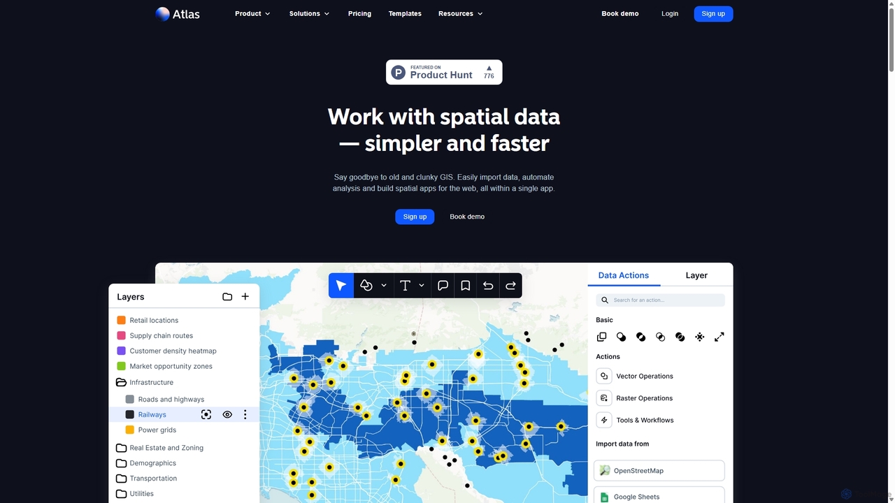
Atlas
Atlas is an all-in-one, browser-based GIS platform that simplifies spatial data analysis and map creation. It enables users …
Atlas is an all-in-one, browser-based GIS platform that simplifies spatial data analysis and map creation. It enables users to easily import data, perform over 50 advanced spatial analyses, and build interactive web maps without prior GIS expertise. Designed for collaboration, Atlas is ideal for teams in sales, marketing, real estate, and environmental analysis to visualize data, identify trends, and make informed, location-driven decisions.
Maplytics
Maplytics is a certified geo-analytical mapping app that integrates Azure or Bing Maps with Microsoft Dynamics 365 and …
Maplytics is a certified geo-analytical mapping app that integrates Azure or Bing Maps with Microsoft Dynamics 365 and Power Platform. It provides powerful location intelligence features like route optimization, territory management, radius search, and heat maps to enhance sales, service, and marketing operations, enabling data-driven decisions and boosting ROI.

Spartan Forge
Spartan Forge is an AI-powered hunting application designed for the modern hunter. It leverages a neural network, trained …
Spartan Forge is an AI-powered hunting application designed for the modern hunter. It leverages a neural network, trained on thousands of GPS deer collar data points, to predict whitetail deer movement. The app features industry-leading mapping tools, including high-resolution LiDAR and UAV imagery, to provide unparalleled terrain analysis and strategic planning capabilities for hunting.
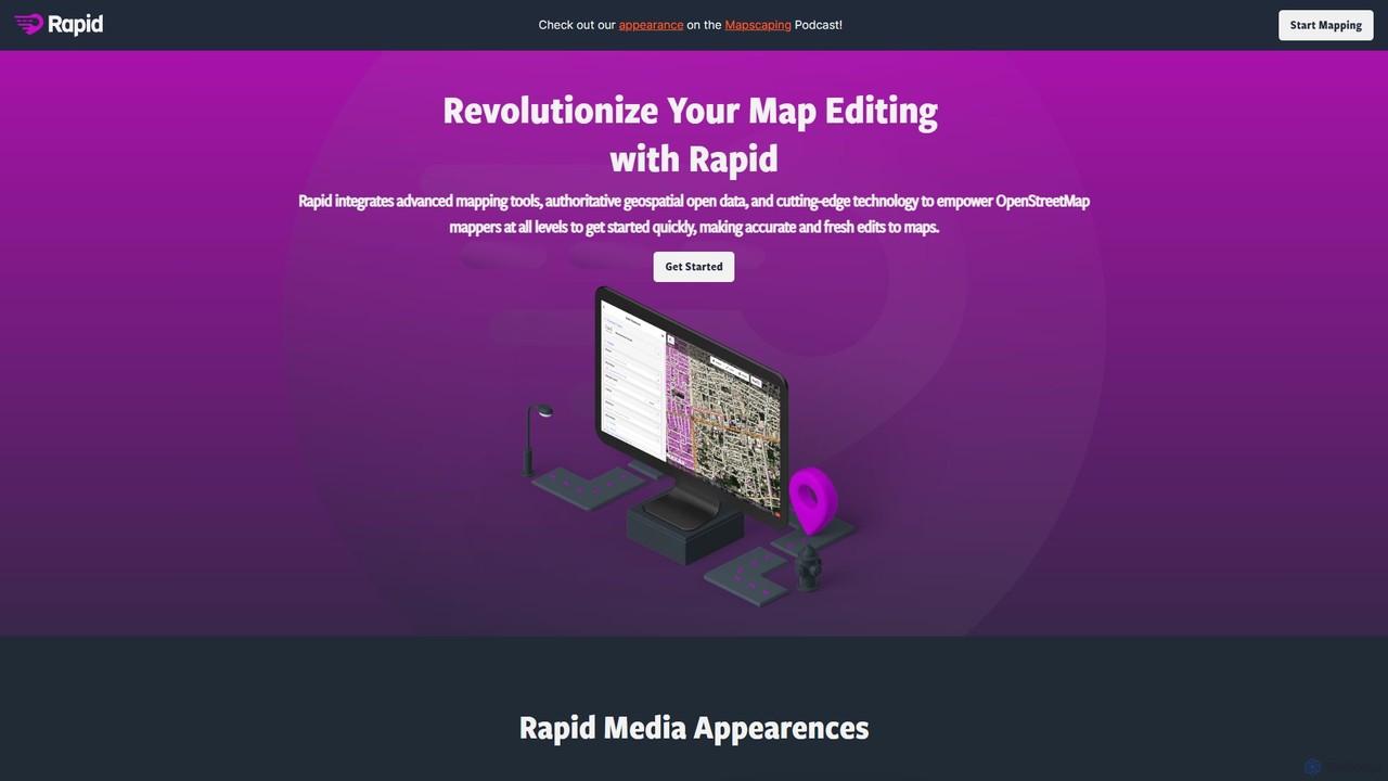
Rapid Editor
Rapid Editor is an AI-enhanced OpenStreetMap (OSM) editor designed to accelerate and simplify the mapping process. By leveraging …
Rapid Editor is an AI-enhanced OpenStreetMap (OSM) editor designed to accelerate and simplify the mapping process. By leveraging AI-detected features from satellite imagery and integrating open data, it allows users to quickly add roads, buildings, and other geographical elements. Its intuitive interface makes it ideal for both beginners and experienced mappers, especially for humanitarian and community-driven mapping projects.

Flypix
Flypix is an end-to-end AI platform for geospatial analysis, enabling users to automatically detect, localize, and segment objects …
Flypix is an end-to-end AI platform for geospatial analysis, enabling users to automatically detect, localize, and segment objects in satellite, aerial, and drone imagery. Train custom AI models with no coding required to analyze complex scenes, saving significant time and resources across industries like agriculture, construction, and environmental monitoring.
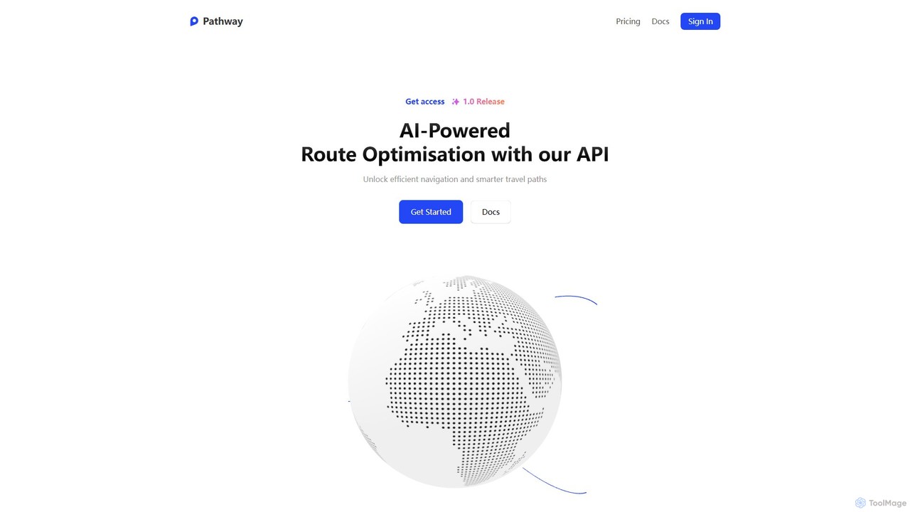
Pathway
Pathway offers an AI-powered route optimization API designed for businesses to create the most efficient travel paths. It …
Pathway offers an AI-powered route optimization API designed for businesses to create the most efficient travel paths. It helps logistics, ride-sharing, and service industries save time and money by intelligently planning multi-stop routes, considering real-time traffic and other constraints.
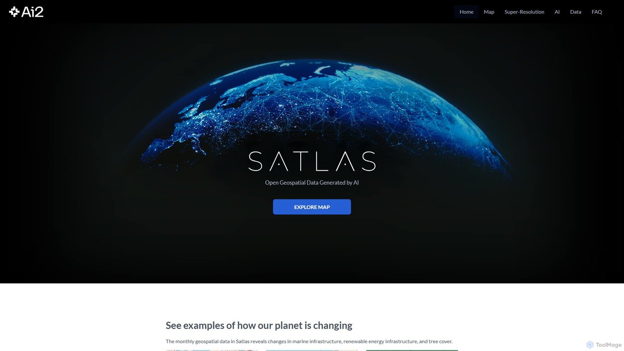
Satlas
Satlas is an AI-powered platform by the Allen Institute for AI that provides open, high-resolution geospatial data. It …
Satlas is an AI-powered platform by the Allen Institute for AI that provides open, high-resolution geospatial data. It uses advanced computer vision models to analyze global satellite imagery, tracking changes in tree cover, renewable energy, and marine infrastructure. Its key feature is Super-Resolution, which enhances low-resolution images for detailed analysis.