ToolMage
Sign in

Best GIS AI tools

Discover powerful GIS AI tools, including Atlas, Flypix, Bunting Labs, and Plotzy, and other related products.

Atlas
Freemium

Atlas

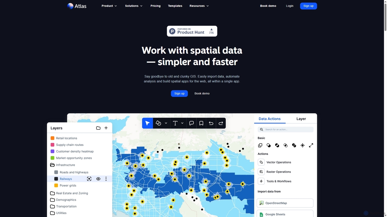
Atlas is an all-in-one, browser-based GIS platform that simplifies spatial data analysis and map creation. It enables users to easily import data, perform over 50 advanced spatial analyses, and build interactive web maps without prior GIS expertise. Designed for collaboration, Atlas is ideal for teams in sales, marketing, real estate, and environmental analysis to visualize data, identify trends, and make informed, location-driven decisions.

Business Intelligence
Visits 256.8KFavorites 106Likes 107
Bunting Labs
Freemium

Bunting Labs

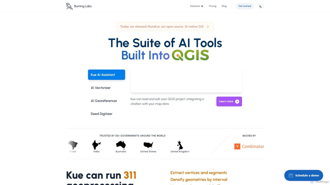
Bunting Labs offers a suite of AI-powered tools for GIS professionals, integrated directly into QGIS. It automates and accelerates map digitization, vectorization, and georeferencing, transforming time-consuming manual tasks into efficient, AI-driven workflows. The platform includes an AI assistant, an AI vectorizer, and an AI georeferencer to enhance productivity and data accuracy.

3D
Visits 14.8KFavorites 103Likes 99
Flypix
Freemium

Flypix

Flypix is an end-to-end AI platform for geospatial analysis, enabling users to automatically detect, localize, and segment objects in satellite, aerial, and drone imagery. Train custom AI models with no coding required to analyze complex scenes, saving significant time and resources across industries like agriculture, construction, and environmental monitoring.

3D
Visits 134.4KFavorites 118Likes 110
Plotzy
Paid

Plotzy

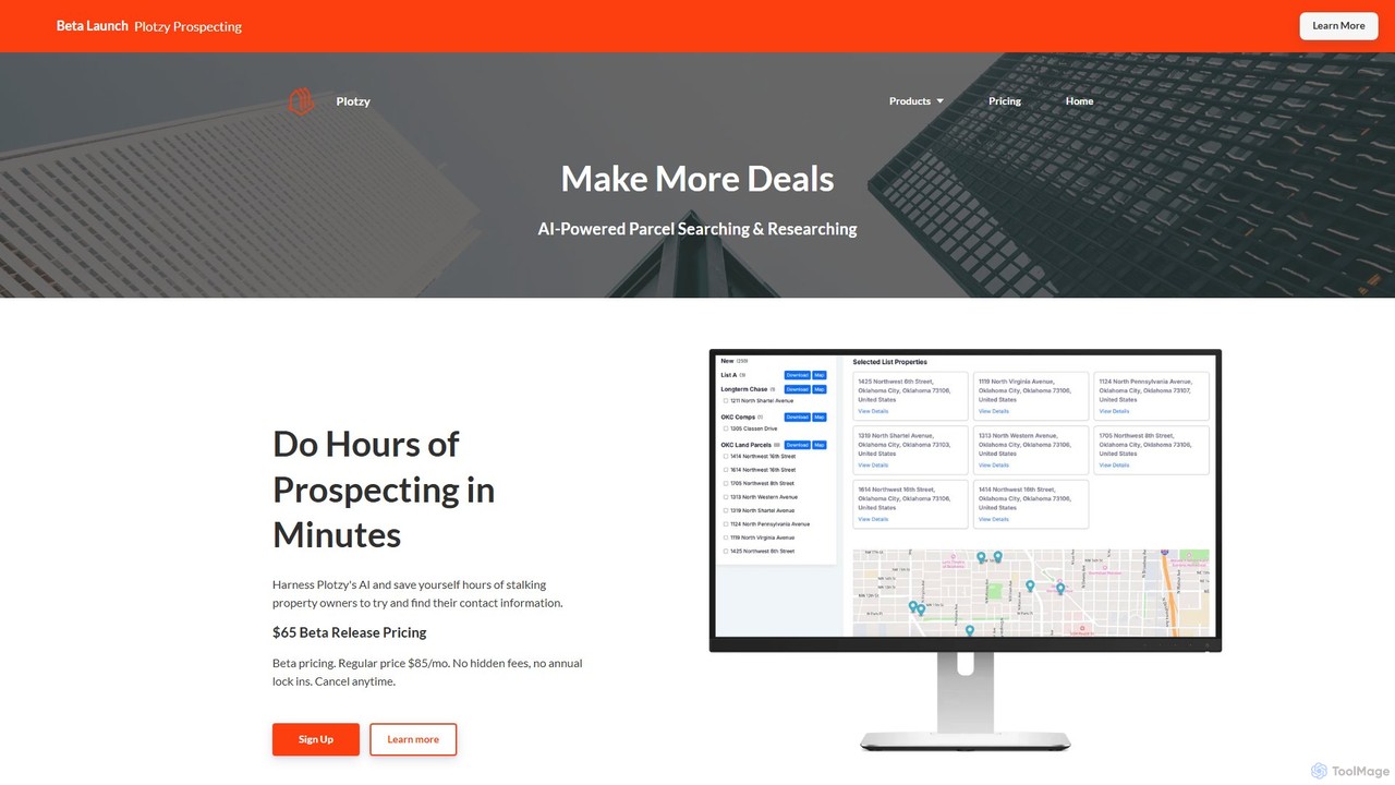
Plotzy is an AI-powered platform designed for real estate professionals to streamline parcel and zoning research. It provides comprehensive property data, owner contact information, and instant AI-driven zoning analysis. This tool helps brokers, developers, and investors find off-market deals, verify permitted uses, and accelerate the entire property acquisition process from prospecting to closing.

Lead Generation
Visits 8.8KFavorites 130Likes 122
Tag