Spartan Forge
Visit Website
Spartan Forge Overview
Spartan Forge is a revolutionary hunting application that stands at the intersection of artificial intelligence and outdoor pursuits. Billed as the only hunting app a user will ever need, it is engineered to provide hunters with a significant strategic advantage by predicting whitetail deer movement. This core functionality is powered by a sophisticated neural network, which has been meticulously trained using thousands of years of cumulative GPS deer collar data from respected universities. This scientific, data-driven approach allows the app to generate forecasts based on specific conditions and terrain in the user's hunting area.
Beyond its predictive capabilities, Spartan Forge is a robust mapping powerhouse. It offers industry-leading high-resolution LiDAR (Light Detection and Ranging) imagery, which allows users to see through the tree canopy and analyze the ground's topography in incredible detail. This is complemented by the sharpest Hi-Res UAV (Unmanned Aerial Vehicle) imagery on the market, with up to seven years of historical data available. This combination of mapping tools makes for an ultimate e-scouting experience, enabling hunters to identify funnels, bedding areas, and travel corridors with precision before ever setting foot in the woods.
How to use Spartan Forge
Getting started with Spartan Forge is a straightforward process designed to get you scouting and hunting more effectively:
- Download the App: Spartan Forge is available for both iOS and Android devices. You can download the free version to get a feel for the platform.
- Choose a Plan: To unlock the full suite of features, including the AI prediction model and advanced mapping layers, subscribe to a plan. A 14-day free trial is available to test all premium functionalities.
- E-Scout Your Area: Use the powerful mapping tools. Toggle between layers like LiDAR, UAV imagery, topographic maps, and slope angle shading to thoroughly analyze your hunting grounds. Use the historical imagery to observe changes in the landscape over time.
- Check AI Predictions: Input your location to receive AI-driven deer movement predictions. The model analyzes terrain, weather, and other data points to give you a forecast of potential activity.
- Set Up Your Team: Utilize the 'Blue Force Tracker' technology. Create a boundary on your map and invite your hunting partners to a group.
- Coordinate in the Field: Share pins for locations like treestands, game sightings, or meeting points. All pins dropped within the designated group boundary are automatically shared with your team in real-time.
- Use Offline Maps: Before heading into areas with poor or no cell service, download your maps for offline use to ensure you always have access to your critical location data.
Core Features of Spartan Forge
- AI Deer Movement Prediction: A neural network model that forecasts whitetail deer movement based on scientific data, weather, and terrain.
- LiDAR Mapping: High-resolution LiDAR imagery (1m resolution for ~66% of the lower-48 U.S.) that reveals terrain details hidden by tree canopies.
- High-Resolution UAV Imagery: Market-leading UAV maps with up to 15cm resolution and 3-7 years of historical data for comprehensive e-scouting.
- Blue Force Tracker: A live, in-app pin sharing system for seamless team coordination and communication during a hunt.
- Offline Mapping: The ability to save maps for use in remote areas without cellular connectivity.
- Advanced Map Layers: Includes configurable topo maps with 10ft contour lines, slope angle shading, public and private land boundary lines, and split-screen mapping on the web app.
- Eagle Eye View: Provides four unique side-profile views of terrain and vegetation in most UAV-covered areas, offering a different perspective for analysis.
- Hourly Weather & Wind Forecasts: Integrated weather data, including historical wind plots, to aid in strategic planning.
Use Cases for Spartan Forge
Spartan Forge is a versatile tool for various hunting scenarios. For whitetail deer hunters, it's an end-to-end solution for identifying rut funnels, locating bedding areas on LiDAR maps, and predicting daily movement patterns. Turkey hunters can use the detailed terrain maps to locate potential roosting trees on ridges and scout travel corridors. The Blue Force Tracker feature is invaluable for hunting parties, allowing a group to safely and effectively coordinate drives, track each other's locations, and share sightings instantly. E-scouters can spend hours virtually exploring new public or private lands, saving time and increasing their chances of success during the season.
Advantages of Spartan Forge
The primary advantage of Spartan Forge is its unique, science-backed approach to wildlife prediction. Unlike other apps that rely on anecdotal evidence or solar/lunar data, Spartan Forge uses a machine learning model built on hard data. Its mapping capabilities are also a major differentiator, with LiDAR and high-resolution UAV imagery providing a level of detail that is unmatched by standard satellite maps. The seamless integration of these predictive and mapping tools with a practical team-tracking feature creates a comprehensive and powerful platform that caters to the needs of serious, data-driven hunters.
Pricing and Plans
Spartan Forge operates on a freemium model. A free version of the app is available with basic features. To access the premium toolset, users can choose from the following subscription options:
- Monthly Plan: $8.99 per month
- Annual Plan: $59.99 per year
Both paid plans include a 14-day free trial, allowing users to experience the full capabilities of the app before committing. The subscription unlocks all features, including the AI Deer Prediction Model, LiDAR and UAV maps, historical imagery, Blue Force Tracker, and more.
Spartan Forge Comments (0)
Log in to post comments
Log in nowSpartan ForgeWebsite Traffic Analysis
Latest Traffic
Status
Monthly Traffic Trend
Geography
Top 5 Countries/Regions
-
🇺🇸 United States96.35%
-
🇨🇦 Canada3.65%
Traffic source
| Source Type | Percentage |
|---|---|
|
Direct Access
|
100.00% |
Popular Keywords
| Keyword | Cost Per Click |
|---|---|
|
$0.00
|
|
|
$1.02
|
|
|
$0.00
|
|
|
$0.00
|
|
|
$0.00
|
Spartan Forge Alternatives
View All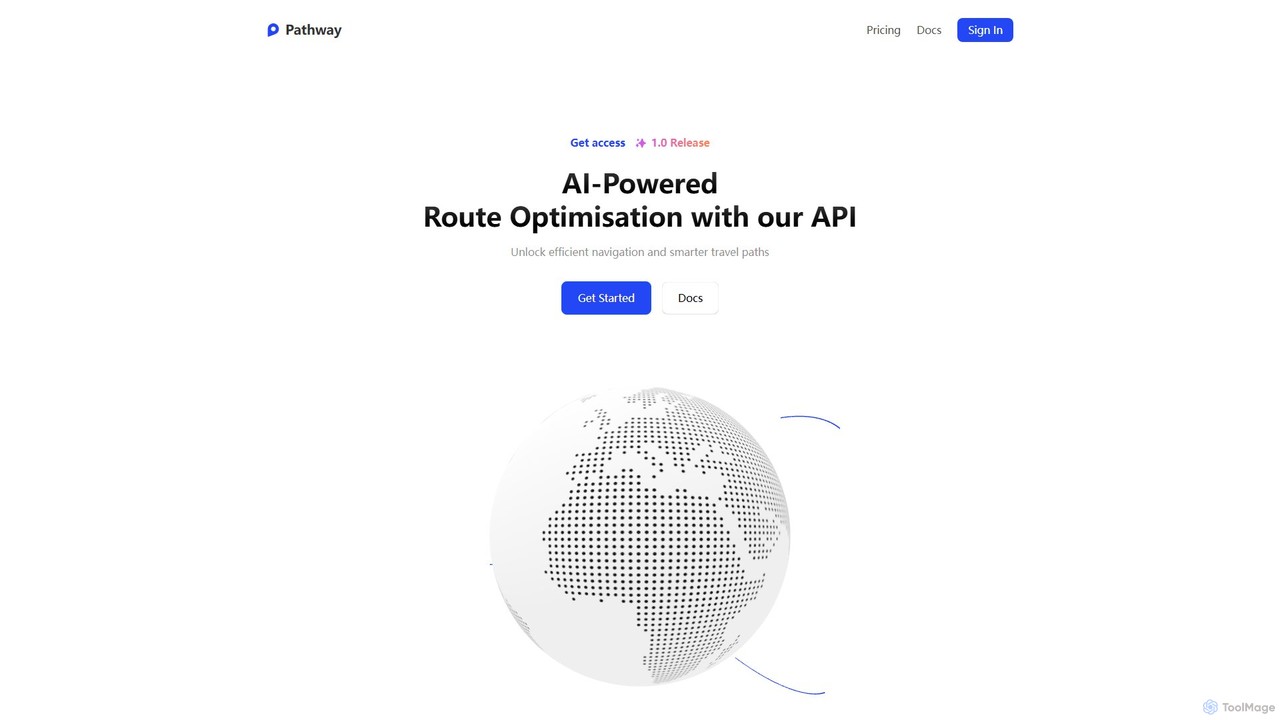
Pathway
Pathway offers an AI-powered route optimization API designed for businesses to create the most efficient travel paths. It …
Pathway offers an AI-powered route optimization API designed for businesses to create the most efficient travel paths. It helps logistics, ride-sharing, and service industries save time and money by intelligently planning multi-stop routes, considering real-time traffic and other constraints.
Maplytics
Maplytics is a certified geo-analytical mapping app that integrates Azure or Bing Maps with Microsoft Dynamics 365 and …
Maplytics is a certified geo-analytical mapping app that integrates Azure or Bing Maps with Microsoft Dynamics 365 and Power Platform. It provides powerful location intelligence features like route optimization, territory management, radius search, and heat maps to enhance sales, service, and marketing operations, enabling data-driven decisions and boosting ROI.
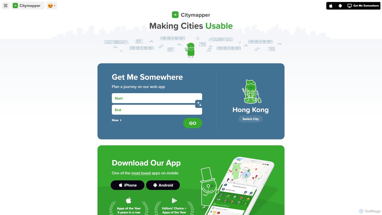
Citymapper
Citymapper is the ultimate AI-powered urban transport app that simplifies city navigation. It integrates all modes of transport—public …
Citymapper is the ultimate AI-powered urban transport app that simplifies city navigation. It integrates all modes of transport—public transit, cycling, scooters, and walking—into one platform, offering real-time data, smart route planning, and turn-by-turn navigation to make cities more usable.
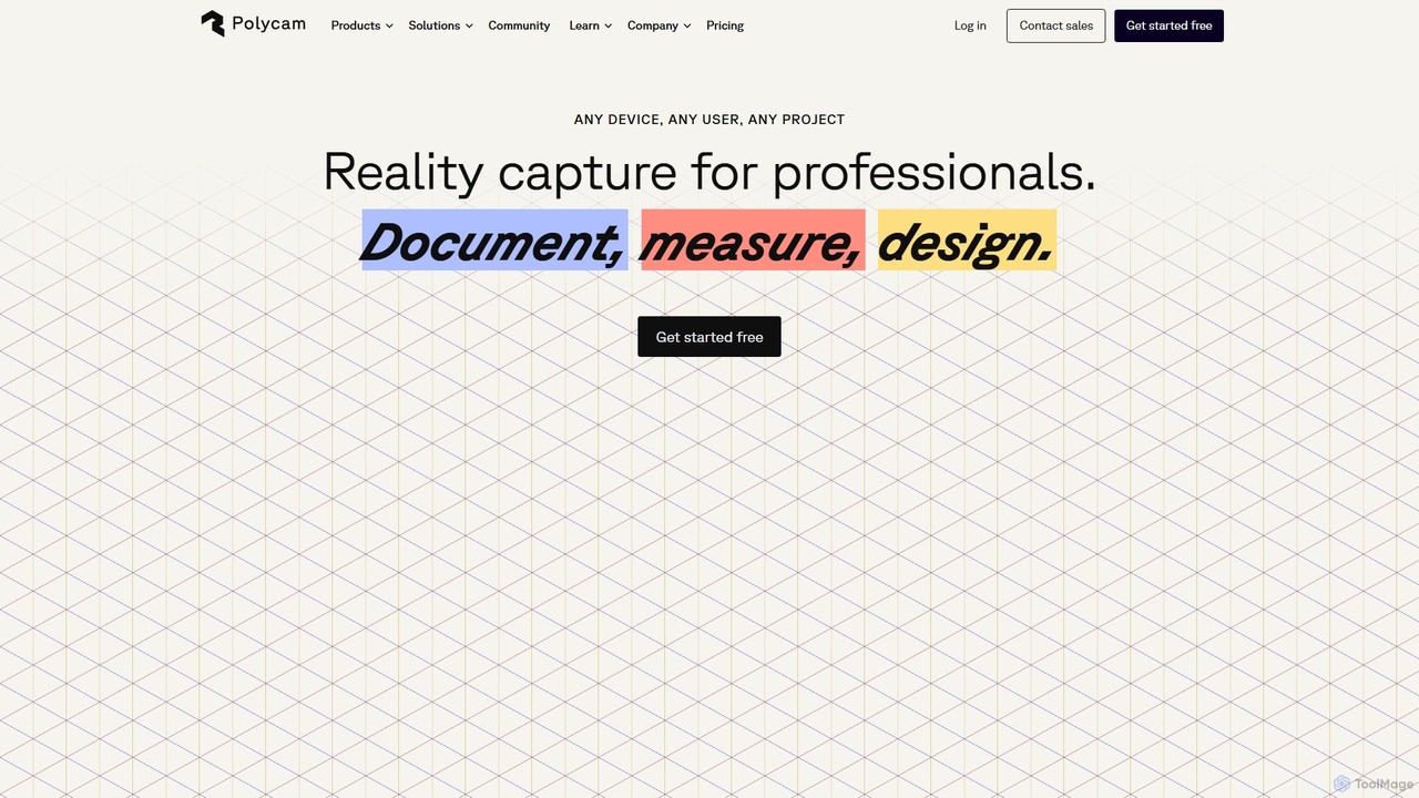
Polycam
Polycam is a leading 3D capture application for iOS, Android, and Web, using LiDAR and photogrammetry to create …
Polycam is a leading 3D capture application for iOS, Android, and Web, using LiDAR and photogrammetry to create high-quality 3D models, floor plans, and drone maps. It's designed for professionals in architecture, construction, real estate, and e-commerce, as well as for creators and hobbyists.
Unitree
Unitree is a world-renowned robotics company specializing in the R&D, production, and sales of high-performance legged and humanoid …
Unitree is a world-renowned robotics company specializing in the R&D, production, and sales of high-performance legged and humanoid robots, robotic arms, and advanced perception systems like 4D LiDAR. They offer innovative solutions for consumer, industrial, and research applications globally.
Aurora Solar
Aurora Solar is an all-in-one software platform for solar professionals, streamlining the entire project lifecycle from sales and …
Aurora Solar is an all-in-one software platform for solar professionals, streamlining the entire project lifecycle from sales and design to delivery. Using AI-powered 3D modeling, LIDAR data, and precise shading analysis, it enables users to create accurate, permit-ready solar designs and compelling sales proposals in minutes, without site visits. This accelerates the sales process, reduces change orders, and improves operational efficiency for solar companies.
Encord
Encord is a comprehensive data development platform for visual and multimodal AI. It provides tools for managing, curating, …
Encord is a comprehensive data development platform for visual and multimodal AI. It provides tools for managing, curating, and annotating large-scale, unstructured data like images, videos, and DICOM files. The platform helps AI teams build high-quality datasets, improve model performance, and accelerate the deployment of production-ready AI applications through advanced labeling, model evaluation, and human-in-the-loop workflows.
Atlas
Atlas is an all-in-one, browser-based GIS platform that simplifies spatial data analysis and map creation. It enables users …
Atlas is an all-in-one, browser-based GIS platform that simplifies spatial data analysis and map creation. It enables users to easily import data, perform over 50 advanced spatial analyses, and build interactive web maps without prior GIS expertise. Designed for collaboration, Atlas is ideal for teams in sales, marketing, real estate, and environmental analysis to visualize data, identify trends, and make informed, location-driven decisions.

Flypix
Flypix is an end-to-end AI platform for geospatial analysis, enabling users to automatically detect, localize, and segment objects …
Flypix is an end-to-end AI platform for geospatial analysis, enabling users to automatically detect, localize, and segment objects in satellite, aerial, and drone imagery. Train custom AI models with no coding required to analyze complex scenes, saving significant time and resources across industries like agriculture, construction, and environmental monitoring.
Mappedin
Mappedin is an AI-powered platform that transforms static floor plans into interactive 3D indoor maps in minutes. It's …
Mappedin is an AI-powered platform that transforms static floor plans into interactive 3D indoor maps in minutes. It's designed for venues of all types to enhance visitor experience, streamline operations, and improve safety with intuitive navigation, real-time data visualization, and powerful management tools.
Spartan Forge Category
Spartan Forge Tag
Spartan Forge AI Tool Comparison
Spartan Forge Embed Feature
Just copy the embed code below and paste this beautiful badge on your blog, article, or official app website to drive traffic directly to this tool's detail page and quickly boost your exposure and user count!

No comments yet, be the first to comment!