
Picterra
Picterra is a GeoAI platform that enables users to analyze satellite and drone imagery to extract insights. It …
Picterra is a GeoAI platform that enables users to analyze satellite and drone imagery to extract insights. It provides a no-code environment for building and deploying object detection models, empowering industries like agriculture, ESG, and infrastructure with scalable environmental intelligence.
SeeTree
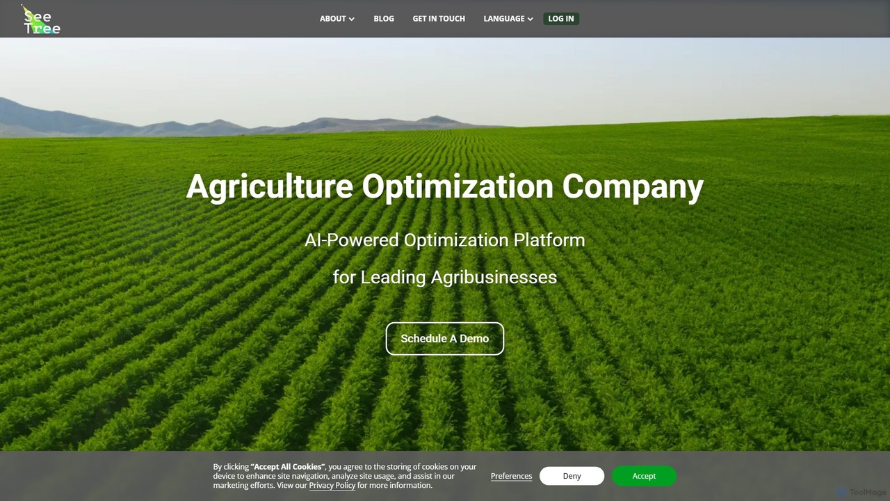
SeeTree is an AI-powered intelligence platform for permanent crop growers. It utilizes drones, computer vision, and machine learning …
SeeTree is an AI-powered intelligence platform for permanent crop growers. It utilizes drones, computer vision, and machine learning to deliver per-tree data on health, yield, and growth, enabling farmers to optimize operations, increase profitability, and make data-driven decisions.

Flypix
Flypix is an end-to-end AI platform for geospatial analysis, enabling users to automatically detect, localize, and segment objects …
Flypix is an end-to-end AI platform for geospatial analysis, enabling users to automatically detect, localize, and segment objects in satellite, aerial, and drone imagery. Train custom AI models with no coding required to analyze complex scenes, saving significant time and resources across industries like agriculture, construction, and environmental monitoring.