ToolMage
Sign in
eos
Agriculture · 1M monthly visits

EOS Data Analytics (eos) is an AI-powered platform providing satellite imagery analysis for various industries. It leverages machine learning to process geospatial data, offering actionable insights for agriculture, forestry, environmental monitoring, and more. The platform helps businesses make data-driven decisions, optimize operations, and mitigate risks through advanced remote sensing technologies.

VS
Rapid Editor
Geospatial Analysis · 5.3K monthly visits

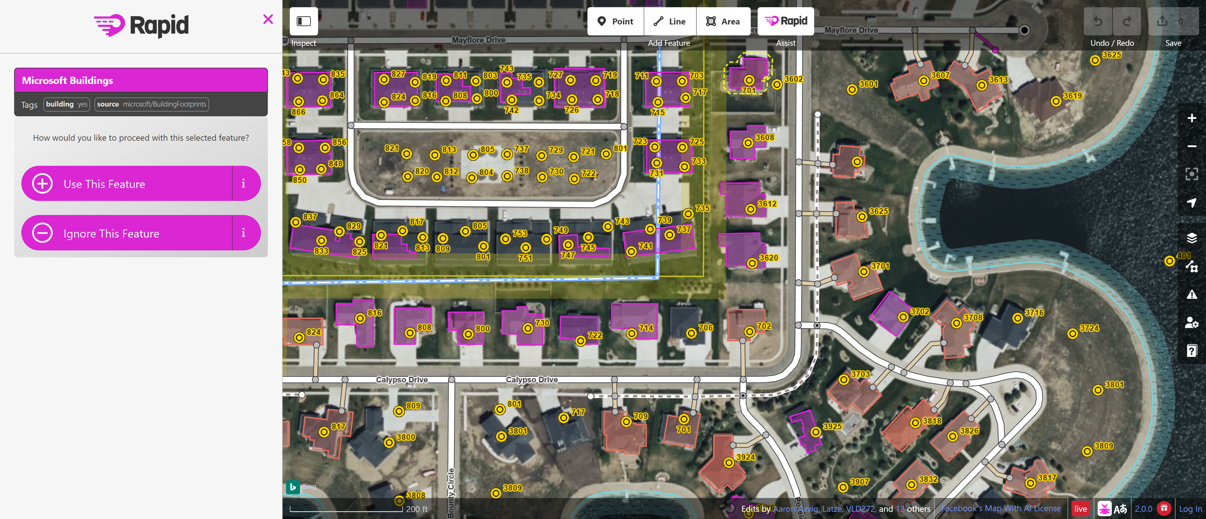
Rapid Editor is an AI-enhanced OpenStreetMap (OSM) editor designed to accelerate and simplify the mapping process. By leveraging AI-detected features from satellite imagery and integrating open data, it allows users to quickly add roads, buildings, and other geographical elements. Its intuitive interface makes it ideal for both beginners and experienced mappers, especially for humanitarian and community-driven mapping projects.

eos vs Rapid Editor: pricing, features, traffic, and use cases

Compare eos and Rapid Editor across positioning, pricing, traffic, and user feedback using structured factual data.

Updated Aug 17, 2026

Product overview

eos Product overview

EOS Data Analytics (eos) is an AI-powered platform providing satellite imagery analysis for various industries. It leverages machine learning to process geospatial data, offering actionable insights for agriculture, forestry, environmental monitoring, and more. The platform helps businesses make data-driven decisions, optimize operations, and mitigate risks through advanced remote sensing technologies.

Preview

Rapid Editor Product overview

Rapid Editor is an AI-enhanced OpenStreetMap (OSM) editor designed to accelerate and simplify the mapping process. By leveraging AI-detected features from satellite imagery and integrating open data, it allows users to quickly add roads, buildings, and other geographical elements. Its intuitive interface makes it ideal for both beginners and experienced mappers, especially for humanitarian and community-driven mapping projects.

Preview

Detailed feature comparison

FeatureeosRapid Editor
Primary categoryAgricultureGeospatial Analysis
Added2025-08-062025-08-10
PricingPaidFree
Official websiteeos.comrapideditor.org
Product typeWebsiteWebsite
Performance data
User ratingNot verifiedNot verified
Comments00
Monthly visits1M5.3K
Monthly growth2.5%-23.8%
Favorites144118
DetailsView detailsView details

eos vs Rapid Editor monthly traffic

Compare eos and Rapid Editor by monthly reach, traffic trend, visit depth, top regions, and acquisition sources.

How to interpret the traffic data

In the eos vs Rapid Editor monthly traffic comparison, eos currently shows 1M visits and Rapid Editor shows 5.3K; eos has about 193.3 times the visible traffic of Rapid Editor, an absolute difference of about 1M visits. This reflects visible reach, not feature quality or paid users.

Both tools provide verified traffic details, so monthly trends, visit depth, regions, and acquisition sources can be compared on the same basis.

eos monthly traffic:

Latest traffic

Monthly visits
1M
Avg. visit duration
2:36
Pages per visit
17.8
Bounce rate
35.7%
Data updated 2026-06-15

Monthly traffic trend

  • 2025/9: 914K Monthly visits
  • 2026/1: 875.4K Monthly visits
  • 2026/2: 833.8K Monthly visits
  • 2026/3: 1.2M Monthly visits
  • 2026/4: 1M Monthly visits
  • 2026/5: 1M Monthly visits

Top regions

Top 5 countries/regions
Country/regionPercentageTraffic
🇺🇸United States35.5%365.3K
🇧🇷Brazil34.05%350.4K
🇩🇪Germany13.14%135.2K
🇺🇦Ukraine11.39%117.2K
🇦🇷Argentina5.92%60.9K

Traffic sources

Source typePercentageTraffic
Direct81.63%840K
Referral9.84%101.3K
Email8.53%87.8K

Search keywords

eosda landviewerlandviewerlive satellite viewsatelitesatellite images

Rapid Editor monthly traffic:

Latest traffic

Monthly visits
5.3K
Avg. visit duration
0:07
Pages per visit
2.69
Bounce rate
32.56%
Data updated 2026-06-15

Monthly traffic trend

  • 2025/9: 2.6K Monthly visits
  • 2026/1: 4.8K Monthly visits
  • 2026/2: 4.3K Monthly visits
  • 2026/3: 4.4K Monthly visits
  • 2026/4: 7K Monthly visits
  • 2026/5: 5.3K Monthly visits

Top regions

Top 5 countries/regions
Country/regionPercentageTraffic
🇺🇸United States43.76%2.3K
🇧🇷Brazil30.11%1.6K
🇩🇪Germany15.43%821
🇮🇳India7.75%413
🇮🇹Italy2.95%157

Search keywords

ariane map editormap editormapraiderrapidrapid map
Traffic-based selection guidance: If public market visibility is an important first-pass criterion, investigate eos first. The final choice should still follow taxonomy, use case, and a real trial because higher traffic does not prove broader capabilities or better workflow fit.

Usage comparison

Compare the core capabilities of eos and Rapid Editor

eos Core features

Geospatial Analysis
Agriculture
Planning
Earth Science

Rapid Editor Core features

Geospatial Analysis
Mapping
Collaboration

Use cases

eos Use cases

satellite imagery
agritech
AI
data analytics
earth observation
environmental monitoring
forestry
geospatial analysis
machine learning
precision agriculture

Rapid Editor Use cases

satellite imagery
AI mapping
cartography
data collection
geospatial
humanitarian mapping
map editor
mapping
OpenStreetMap
OSM

eos vs Rapid Editor:In-depth comparison and selection guidance

First decide whether the products solve the same kind of need

This in-depth eos vs Rapid Editor comparison uses only the product records, taxonomy, audience, traffic, and community signals available on this page. eos is primarily listed under “Agriculture”, while Rapid Editor is primarily listed under “Geospatial Analysis”, so the first decision is whether your actual task matches their recorded scope.

The structured fields currently show these decision-relevant differences: Primary category (eos: Agriculture; Rapid Editor: Geospatial Analysis); Pricing (eos: Paid; Rapid Editor: Free); Monthly visits (eos: 1M; Rapid Editor: 5.3K); Monthly growth (eos: 2.5%; Rapid Editor: -23.8%); Favorites (eos: 144; Rapid Editor: 118). These facts are more useful for selection than brand visibility alone.

What market visibility and monthly traffic mean

In the eos vs Rapid Editor monthly traffic comparison, eos currently shows 1M visits and Rapid Editor shows 5.3K; eos has about 193.3 times the visible traffic of Rapid Editor, an absolute difference of about 1M visits. This reflects visible reach, not feature quality or paid users.

Both tools provide verified traffic details, so monthly trends, visit depth, regions, and acquisition sources can be compared on the same basis.

If public market visibility is an important first-pass criterion, investigate eos first. The final choice should still follow taxonomy, use case, and a real trial because higher traffic does not prove broader capabilities or better workflow fit.

Product positioning, use cases, and roles

eos and Rapid Editor currently overlap in shared categories: Geospatial Analysis; shared tags: satellite imagery. This can place both on the same shortlist, but it does not prove equal implementation, depth, or cost.

eos's unique categories/tags are Agriculture, Planning, Earth Science, agritech, AI, data analytics, earth observation, and environmental monitoring; Rapid Editor's are Mapping, Collaboration, AI mapping, cartography, data collection, geospatial, humanitarian mapping, and map editor. These unique fields are the strongest differentiators: validate the product whose recorded scope matches the task instead of following traffic alone.

What ratings, comments, and favorites can tell you

eos has no verified rating, 0 comments, 144 favorites, and 138 likes;Rapid Editor has no verified rating, 0 comments, 118 favorites, and 127 likes。

Neither product has enough rating or comment samples for a credible reputation ranking.

Selection guidance by actual need

When to evaluate eos first

Put eos on the priority trial list when the task aligns with “Agriculture” and especially Agriculture, Planning, Earth Science, agritech, AI, and data analytics. This follows recorded positioning and does not imply unlisted capabilities are absent.

eos also currently records: pricing is paid, product type is website, 1M verified monthly visits, no verified user rating. Verify any hard requirement around price, platform, or reach before trial, and do not let sparse review data substitute for testing.

When to evaluate Rapid Editor first

Put Rapid Editor on the priority trial list when the task aligns with “Geospatial Analysis” and especially Mapping, Collaboration, AI mapping, cartography, data collection, and geospatial. This follows recorded positioning and does not imply unlisted capabilities are absent.

Rapid Editor also currently records: pricing is free, product type is website, 5.3K verified monthly visits, no verified user rating. Verify any hard requirement around price, platform, or reach before trial, and do not let sparse review data substitute for testing.

How to validate the recommendation before deciding

The available data describes positioning, public visibility, and community signals, but it cannot prove output quality, speed, integration effort, privacy, or long-term cost in your workflow. Before deciding, run the same representative tasks in eos and Rapid Editor, then record completion time, accuracy, manual corrections, and the real paid threshold. A like-for-like trial turns this comparison into a defensible adoption decision.

Comparison FAQ

How should I choose between eos and Rapid Editor?
Compare positioning, pricing, taxonomy, and traffic maturity, then verify the latest details on each official website.
Where does this comparison data come from?
The factual baseline is derived from product, taxonomy, traffic, and community data. Reviewed editorial conclusions show their source and verification date.
What do unknown fields mean?
Unknown means there is not enough reliable evidence; the page does not fill gaps with assumptions.

Related AI tools

Flypix
Freemium

Flypix

Flypix is an end-to-end AI platform for geospatial analysis, enabling users to automatically detect, localize, and segment objects in satellite, aerial, and drone imagery. Train custom AI models with no coding required to analyze complex scenes, saving significant time and resources across industries like agriculture, construction, and environmental monitoring.

3D
Visits 135KFavorites 121Likes 115
Satlas
Free

Satlas

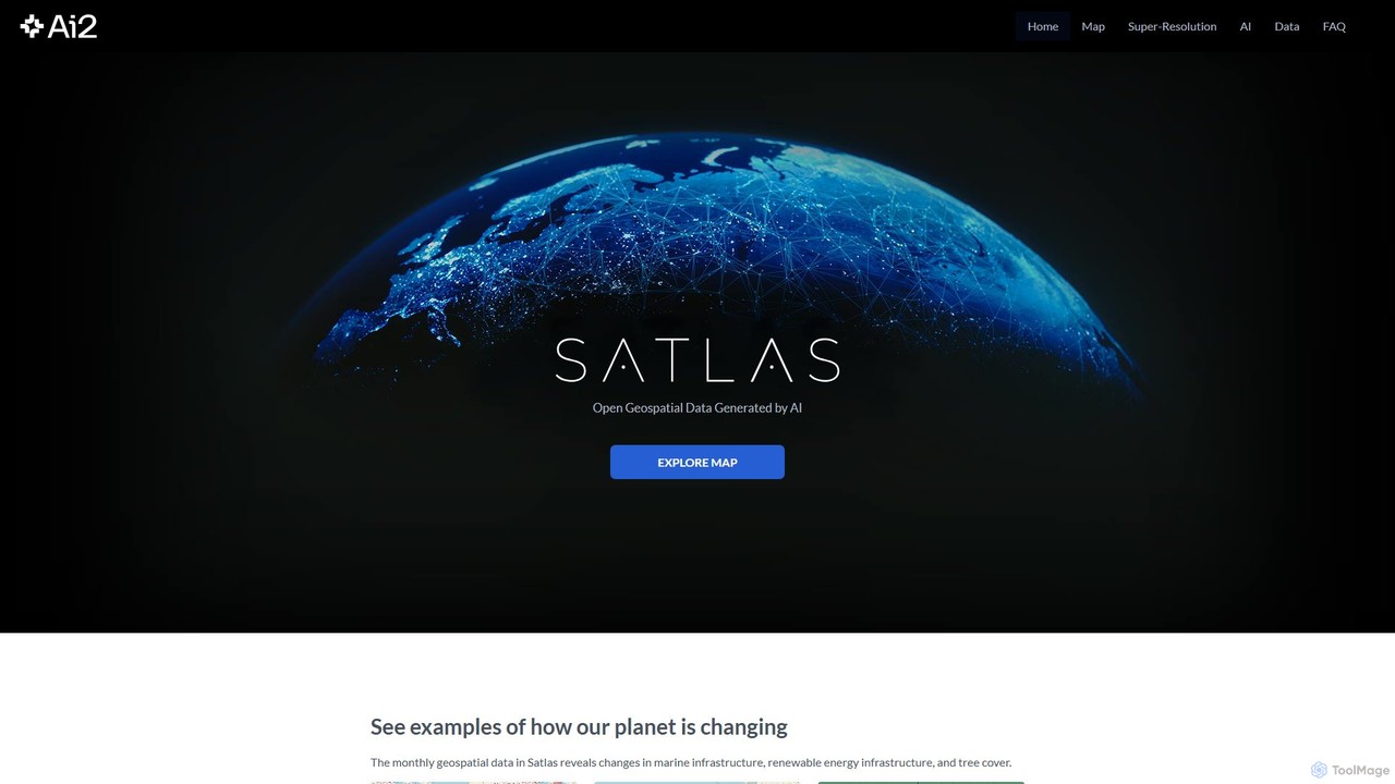
Satlas is an AI-powered platform by the Allen Institute for AI that provides open, high-resolution geospatial data. It uses advanced computer vision models to analyze global satellite imagery, tracking changes in tree cover, renewable energy, and marine infrastructure. Its key feature is Super-Resolution, which enhances low-resolution images for detailed analysis.

Geospatial
Visits 6.2KFavorites 94Likes 100
Picterra
Freemium

Picterra

Picterra is a GeoAI platform that enables users to analyze satellite and drone imagery to extract insights. It provides a no-code environment for building and deploying object detection models, empowering industries like agriculture, ESG, and infrastructure with scalable environmental intelligence.

Environmental Social Governance
Visits 4.7KFavorites 107Likes 102
Geo

Geo

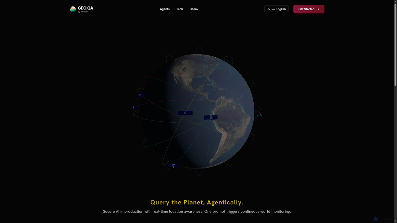
Geo provides real-time geospatial intelligence to AI agents, enabling continuous global monitoring and location-aware decision-making through natural language prompts. It simplifies complex satellite data for enterprise AI applications.

Agent Tools
Visits 4KFavorites 31Likes 29
Cybertiks
Paid

Cybertiks

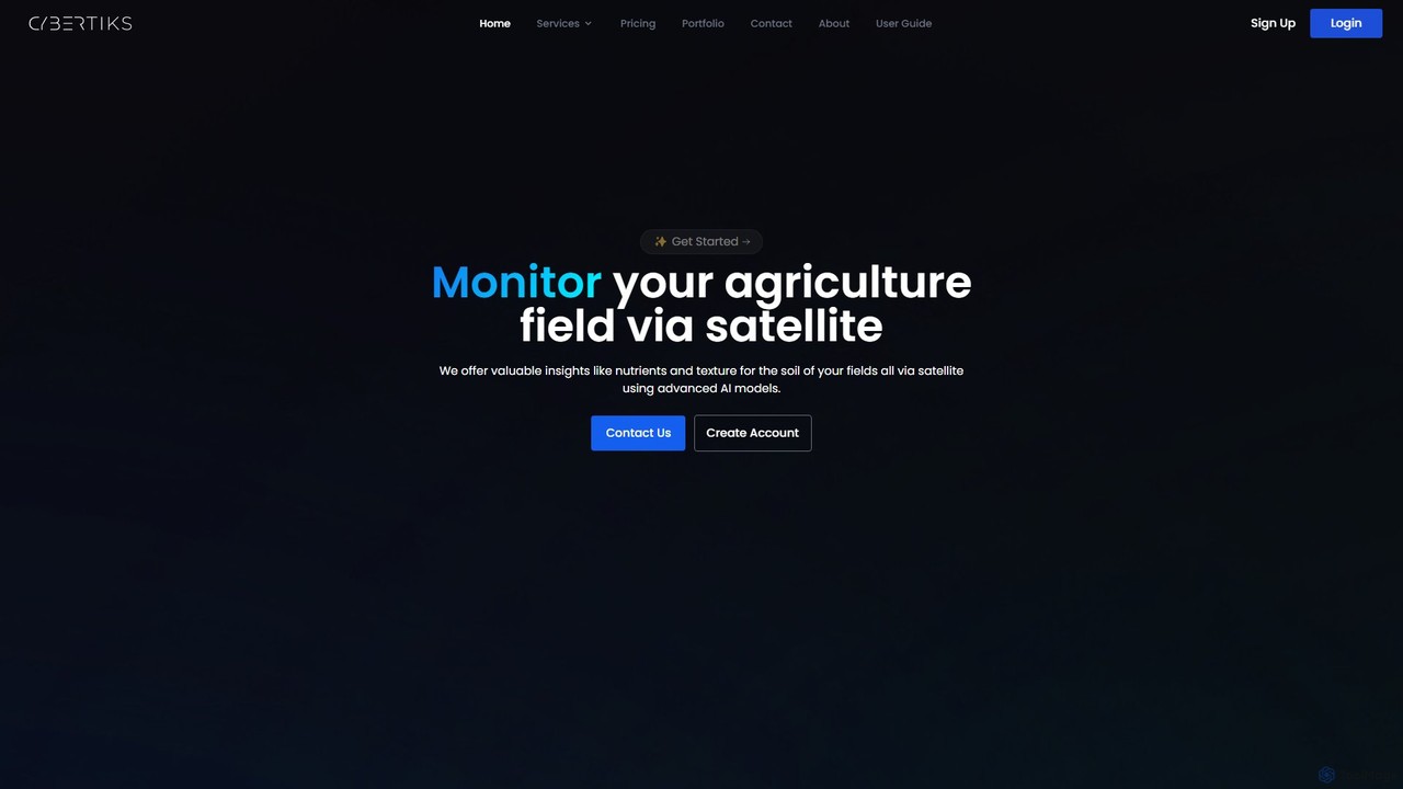
Cybertiks is an advanced AI platform that leverages satellite imagery and remote sensing for in-depth analysis in agriculture, mining, and environmental management. It provides valuable insights into soil nutrients, mineral deposits, and field health, enabling data-driven decision-making for various industries. By integrating multiple data sources and advanced AI models, Cybertiks delivers tailored, high-accuracy solutions for resource monitoring and management.

Analytics
Visits 4.1KFavorites 117Likes 126
instacrops
Paid

instacrops

Instacrops is an AI-powered AgTech platform that acts as a virtual agricultural advisor. It combines IoT sensors, satellite imagery, and AI to provide real-time data and actionable recommendations on irrigation, nutrients, pests, and diseases. This helps farmers optimize resource usage, minimize risks, and maximize crop profitability and yield.

Precision Farming
Visits 4.3KFavorites 124Likes 118
Microsoft Open Source
Free

Microsoft Open Source

Microsoft's central hub for discovering, using, and contributing to a vast portfolio of open-source projects. It offers developers access to powerful tools, frameworks, and AI/ML libraries, fostering collaboration and innovation within a global community.

Platform
Visits 214KFavorites 108Likes 108
DefinedCrowd
Paid

DefinedCrowd

DefinedCrowd is a leading provider of high-quality AI training data. It leverages a global crowd to collect, annotate, and enrich data for machine learning models, specializing in speech, NLP, and computer vision. It offers a fully managed service to help companies build robust and unbiased AI applications at scale.

Machine Learning
Visits 1.9BFavorites 88Likes 85
Prolific
Freemium

Prolific

Prolific is a leading platform for collecting high-quality data from a global pool of over 200,000 vetted and engaged human participants. It enables AI developers and researchers to quickly launch studies, train models, and gather reliable human feedback for tasks like data annotation, RLHF, and surveys.

Data Annotation
Visits 21.1MFavorites 124Likes 112
Your Name in Landsat
Free

Your Name in Landsat

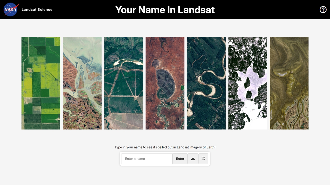
Type your name to see it spelled out in NASA and USGS Landsat satellite imagery spanning over 50 years. A free, interactive Earth science tool.

Science
Visits 7.9MFavorites 12Likes 13
Quick, Draw!
Free

Quick, Draw!

Quick, Draw! is an interactive AI experiment and game from Google where you draw an object, and a neural network tries to guess what it is. It's a fun way to interact with machine learning while contributing to the world's largest open-source doodling dataset for research.

Dataset
Visits 2.2MFavorites 141Likes 146
Playment
Paid

Playment

Playment is an enterprise-grade data solutions platform, now part of TELUS International. It specializes in providing high-quality, human-annotated data for training and validating AI and machine learning models. Leveraging a global community of over one million contributors, Playment offers services like data collection, annotation, and validation for computer vision, NLP, and generative AI, ensuring speed, scale, and precision for ambitious AI projects.

Model Training
Visits 934.7KFavorites 135Likes 131
Defined.ai
Paid

Defined.ai

Defined.ai is a leading marketplace and platform for high-quality AI training data. It provides off-the-shelf datasets and custom data collection/annotation services for computer vision, NLP, and speech recognition. By leveraging a global crowd and a robust platform, Defined.ai helps businesses accelerate the development of accurate and ethical AI models.

Data Annotation
Visits 67.5KFavorites 109Likes 120
Sapien
Paid

Sapien

Sapien is a decentralized data foundry that provides enterprise-grade AI training data. It leverages a global network of human contributors to deliver high-quality, specialized data for complex AI systems, including 3D/4D annotation, expert reasoning, and large-scale data collection.

Training Data
Visits 66.8KFavorites 128Likes 128
gts.ai
Paid

gts.ai

GTS.ai is a leading AI data solutions provider with over 25 years of experience. They offer high-quality, customized datasets for machine learning, including image, video, speech, and text data. Leveraging a global workforce of over 4.5 million, GTS provides comprehensive services from data collection and annotation to transcription and data management. They ensure data accuracy, security (ISO, GDPR, HIPAA compliant), and scalability for AI projects across various industries, helping businesses propel their AI initiatives forward with reliable data.

Data Annotation
Visits 41KFavorites 144Likes 124