eos
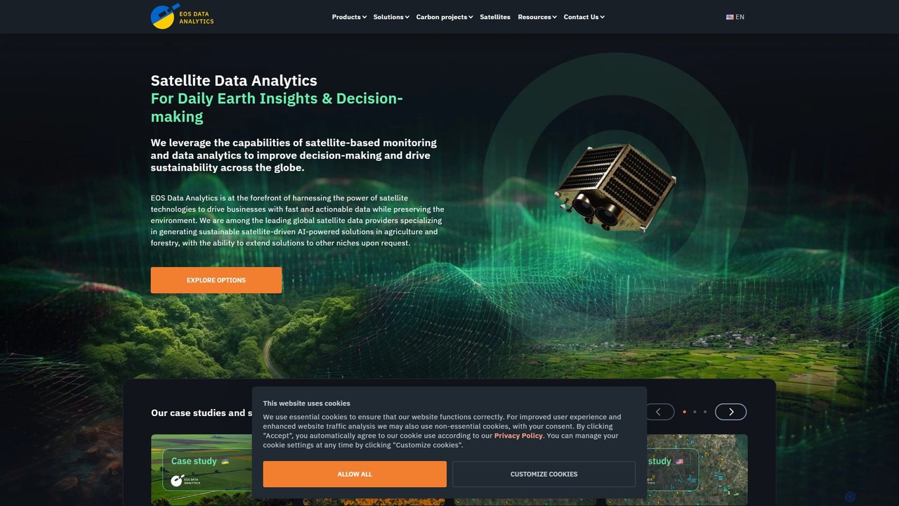
EOS Data Analytics (eos) is an AI-powered platform providing satellite imagery analysis for various industries. It leverages machine …
EOS Data Analytics (eos) is an AI-powered platform providing satellite imagery analysis for various industries. It leverages machine learning to process geospatial data, offering actionable insights for agriculture, forestry, environmental monitoring, and more. The platform helps businesses make data-driven decisions, optimize operations, and mitigate risks through advanced remote sensing technologies.
About Earth Science
Earth Science AI tools are specialized applications that leverage artificial intelligence to analyze, model, and visualize complex geological, atmospheric, oceanic, and environmental data. These tools utilize machine learning, deep learning, and advanced computational models to process vast datasets from satellites, sensors, and simulations. They significantly enhance our understanding of Earth's systems, improve predictive accuracy for natural phenomena, and support sustainable resource management and environmental protection.
Core Features
- Geospatial Data Analysis: Processes and interprets satellite imagery, LiDAR data, and GIS information for mapping and monitoring Earth's surface.
- Climate Modeling & Prediction: Simulates atmospheric and oceanic processes, forecasting climate change impacts and extreme weather events.
- Natural Hazard Assessment: Predicts and monitors risks associated with earthquakes, volcanic eruptions, floods, and wildfires.
- Resource Exploration & Management: Identifies potential mineral deposits, oil & gas reserves, and optimizes groundwater resource management.
- Environmental Monitoring & Conservation: Tracks pollution levels, deforestation, biodiversity changes, and assesses ecosystem health.
Applicable Scenarios
These tools are indispensable for geologists, climate scientists, environmental researchers, and urban planners. They are used for tasks such as interpreting seismic data for subsurface modeling, developing more accurate climate change projections, and monitoring ecological shifts to inform conservation strategies.
How to Choose
When selecting Earth Science AI tools, consider their data compatibility with various formats like NetCDF and GeoTIFF, the accuracy and interpretability of their AI models, and their scalability for large datasets. Also, evaluate if the tool offers domain-specific features tailored to your particular Earth science discipline, such as hydrology or seismology.
Earth ScienceUse Cases
Climate Change Impact Prediction
Climate scientists and researchers utilize AI to analyze vast historical climate datasets and project future scenarios, such as sea-level rise or extreme weather frequency. This informs governmental policy-making and helps communities develop effective adaptation and mitigation strategies.
Natural Disaster Early Warning
Emergency management agencies and meteorological organizations deploy AI models to process real-time data from seismic sensors, weather radars, and satellites. This enables more accurate and timely predictions of earthquakes, tsunamis, hurricanes, and floods, facilitating crucial early warnings and evacuations.
Mineral Exploration Optimization
Geologists and mining companies leverage AI to analyze complex geological surveys, satellite imagery, and drilling core data. The AI identifies patterns indicative of mineral deposits, significantly increasing exploration success rates and reducing the time and cost associated with traditional methods.
Water Resource Management
Hydrologists and agricultural planners use AI to model water cycles, predict drought risks, and optimize irrigation schedules. By integrating data on rainfall, soil moisture, river flow, and consumption patterns, these tools support sustainable water allocation and management.
Deforestation & Land Use Change Monitoring
Environmental organizations and forestry departments utilize AI to process high-resolution satellite images over vast geographical areas. The AI automatically detects and quantifies deforestation, illegal logging, and urban expansion, providing critical data for conservation efforts and policy enforcement.
Oceanographic Data Analysis
Marine biologists and oceanographers apply AI to interpret complex oceanographic data, including sonar readings, ocean currents, temperature, and chemical compositions. This aids in studying marine ecosystems, predicting harmful algal blooms, tracking ocean pollution, and understanding deep-sea phenomena.