infiniteanalytics
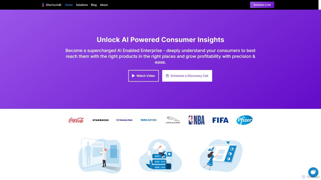
Infinite Analytics offers Sherlock AI, an enterprise-grade platform that provides deep consumer insights, marketing intelligence, and location analytics. …
Infinite Analytics offers Sherlock AI, an enterprise-grade platform that provides deep consumer insights, marketing intelligence, and location analytics. By analyzing data from over 350 million consumers, it helps businesses understand their audience, optimize marketing campaigns across channels like Meta and Google, and make strategic decisions for site selection and retail strategy. It's designed for data-driven growth and enhanced profitability.
nocodemapapp
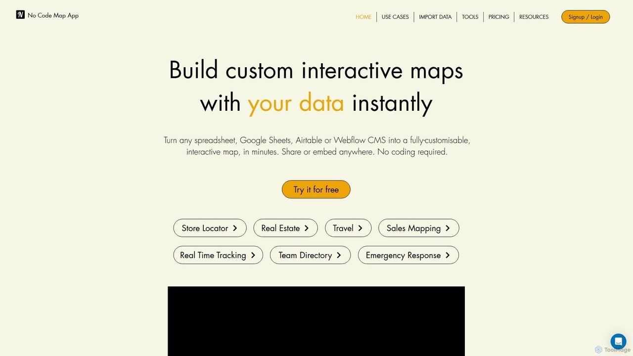
nocodemapapp is an AI-powered, no-code platform that instantly transforms data from spreadsheets, Google Sheets, Airtable, or Webflow CMS …
nocodemapapp is an AI-powered, no-code platform that instantly transforms data from spreadsheets, Google Sheets, Airtable, or Webflow CMS into fully customizable, interactive maps. Create store locators, real estate listings, or sales territory maps in minutes. Features include automatic data sync, heatmap layers, and deep design customization. Share or embed your responsive map anywhere, no coding required.
About Location Intelligence
Location Intelligence tools are AI-powered solutions that analyze geospatial data to derive actionable insights. These tools combine artificial intelligence and machine learning with geographic information systems (GIS) to process vast amounts of location-based data. They enable businesses and organizations to make informed decisions related to site selection, logistics optimization, customer targeting, and urban planning. By identifying spatial patterns and trends, Location Intelligence offers predictive analytics and real-time insights for strategic advantage.
Core Features
- Geospatial Data Analysis: Processes and interprets diverse location-based datasets, including GPS, mobile, and sensor data.
- Predictive Modeling: Forecasts future trends, events, and behaviors based on historical and real-time spatial patterns.
- Real-time Tracking & Monitoring: Provides dynamic observation of assets, vehicles, or people for immediate operational adjustments.
- Site Selection & Optimization: Identifies optimal physical locations for businesses, infrastructure, or service points.
- Customer Segmentation & Targeting: Analyzes customer movement, demographics, and proximity to points of interest for personalized marketing.
Applicable Scenarios
Location Intelligence is crucial for industries relying on geographic data for strategic decisions. Retailers use it for store placement and understanding foot traffic, while logistics companies optimize delivery routes and fleet management. Urban planners leverage these tools for infrastructure development, traffic management, and public safety initiatives, enhancing city efficiency and citizen well-being.
How to Choose
When selecting a Location Intelligence tool, consider its data integration capabilities to handle various geospatial sources. Evaluate the depth of its AI/ML models for predictive and prescriptive analytics. Assess the quality of visualization and reporting features for clear insight presentation. Ensure scalability to manage large datasets and compliance with data privacy regulations like GDPR or CCPA.
Location IntelligenceUse Cases
Optimize Retail Store Locations
A retail expansion manager needs to identify the most profitable locations for new store openings. Using Location Intelligence tools, they analyze demographic data, foot traffic patterns, competitor presence, and local spending habits. The AI models predict potential sales volumes and customer reach for various sites, allowing the manager to make data-driven decisions. This process significantly reduces the risk of poor site selection and can increase the new store's initial profitability by up to 15%.
Enhance Logistics Route Planning
Logistics managers aim to optimize delivery routes for a fleet of vehicles to reduce costs and improve efficiency. Location Intelligence tools integrate real-time traffic data, weather conditions, and delivery addresses to dynamically adjust routes. This ensures the fastest and most fuel-efficient paths, minimizing idle time and delays. Companies can see a decrease in fuel costs by 10% and an improvement in on-time delivery rates by 20%, leading to higher customer satisfaction.
Targeted Marketing Campaigns
Marketing analysts seek to create highly targeted campaigns based on customer location and behavior. Location Intelligence tools segment customers by their frequented locations, travel patterns, and proximity to points of interest. This allows for the delivery of personalized offers via mobile or other channels when customers are most receptive. The result is an increase in campaign conversion rates by up to 25% and a significant reduction in wasted marketing spend, leading to a better return on investment.
Urban Planning and Infrastructure Development
City planners use Location Intelligence to inform decisions on new public transport routes or infrastructure projects. By analyzing population density, commuter flow, existing infrastructure gaps, and future growth projections, these tools help identify areas of greatest need and potential impact. This leads to the development of more efficient and accessible urban services, improving citizen satisfaction and optimizing resource allocation for sustainable city growth.
Real Estate Investment Analysis
Real estate investors need to evaluate potential property investments for future value appreciation and rental yield. Location Intelligence tools assess property values based on proximity to amenities, school districts, crime rates, economic development zones, and historical price trends. By integrating and analyzing these diverse spatial factors, investors can identify high-potential investment properties, mitigate risks, and maximize their return on investment by making more informed purchasing decisions.
Emergency Response and Resource Deployment
Emergency services coordinators need to optimize the deployment of resources during crises. Location Intelligence tools provide real-time incident location data, traffic conditions, and available resource positions to dispatch the closest and most appropriate units. This capability is critical for effective disaster management, public safety, and rapid response. It can reduce response times by 15% and significantly improve overall incident management efficiency, potentially saving lives and minimizing damage.