ToolMage
Sign in

Best geolocation AI tools

Discover powerful geolocation AI tools, including GeoSpy, Picarta, SocialFinder.ai, CoverTracker, and MarketMe, and other related products.

MarketMe
Paid

MarketMe

MarketMe is an AI-powered marketing platform designed for local businesses to boost visibility and sales. It leverages artificial intelligence, geolocation targeting, and smart notifications to deliver personalized offers, optimize product content, and connect businesses with nearby customers and delivery partners.

Targeted Advertising
Visits 6.4KFavorites 42Likes 51
Picarta
Freemium

Picarta

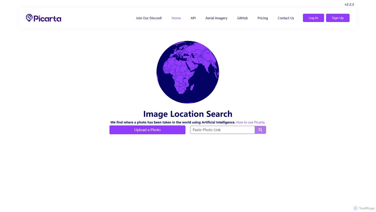
Picarta is an AI-powered image geolocalization tool that accurately identifies the location where a photo was taken. By analyzing visual cues with its advanced Vision Transformer model, it pinpoints GPS coordinates even without EXIF data. Ideal for photographers, OSINT analysts, and businesses, it helps verify authenticity, counter misinformation, and uncover the stories behind images.

Geolocation
Visits 388KFavorites 119Likes 114
CoverTracker
Freemium

CoverTracker

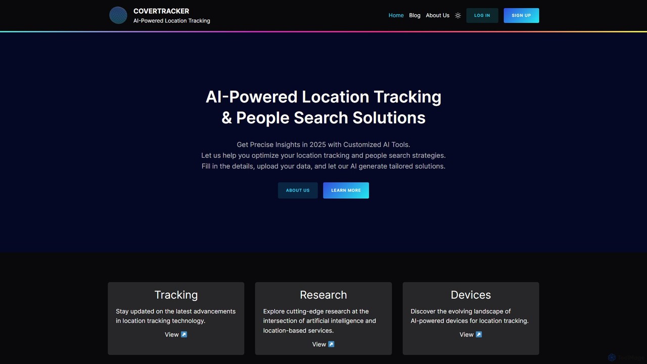
CoverTracker is an advanced AI-powered platform designed for precise location tracking and people search. It leverages sophisticated algorithms to analyze data and provide instant, accurate, and secure insights. Ideal for professionals in security, logistics, and data analysis, it streamlines complex search processes, delivering reliable reports in seconds while ensuring top-tier data privacy with end-to-end encryption.

Logistics
Visits 6.9KFavorites 94Likes 104
SocialFinder.ai
Paid

SocialFinder.ai

SocialFinder.ai is an AI-powered reverse image search engine that finds anyone online using a single photo. It scans the web for social media profiles, determines image geolocation, and helps verify a person's identity, providing a comprehensive digital footprint in seconds.

Investigation
Visits 75.2KFavorites 144Likes 128
GeoSpy
Paid

GeoSpy

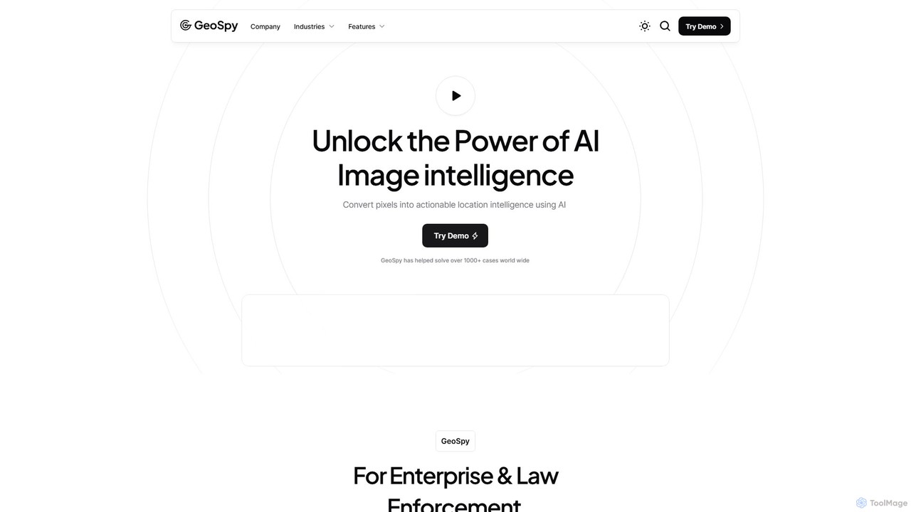
GeoSpy is an advanced AI platform that transforms images into precise, actionable location intelligence. Designed for law enforcement, government agencies, and enterprise organizations, it utilizes state-of-the-art computer vision models to determine geographic locations from images with meter-level accuracy, helping solve cases and gather critical intelligence in seconds.

Geolocation
Visits 511.4KFavorites 164Likes 165
Tag