Picarta
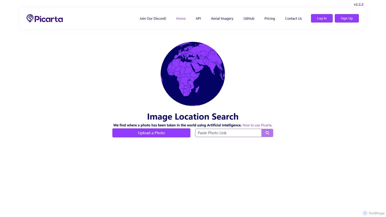
Picarta is an AI-powered image geolocalization tool that accurately identifies the location where a photo was taken. By …
Picarta is an AI-powered image geolocalization tool that accurately identifies the location where a photo was taken. By analyzing visual cues with its advanced Vision Transformer model, it pinpoints GPS coordinates even without EXIF data. Ideal for photographers, OSINT analysts, and businesses, it helps verify authenticity, counter misinformation, and uncover the stories behind images.
About Geolocation
AI Geolocation tools are a specialized class of data analysis software that interpret and analyze spatial information. They utilize machine learning models to process diverse geographic data, including satellite imagery, GPS coordinates, and sensor feeds. This enables organizations to uncover location-based patterns, predict spatial trends, and optimize logistical operations. Their primary value lies in transforming raw geographic data into actionable intelligence for sectors like logistics, retail, and urban planning.
Core Features
- Spatial Data Analysis: Process and model geographic datasets to identify significant patterns, clusters, and spatial relationships.
- Location Intelligence: Enrich business data with geographic context to gain deeper insights into market dynamics and customer behavior.
- Predictive Mapping: Forecast future events or trends based on historical location data, such as traffic congestion or property value changes.
- Route Optimization: Calculate the most efficient paths for delivery fleets, service technicians, or transportation networks considering real-time variables.
- Geofencing: Establish virtual boundaries that trigger automated alerts or actions when a device enters or exits a specific geographic area.
Use Cases
These tools are essential for the logistics and supply chain industry for optimizing delivery routes and fleet management. Retail businesses use them for strategic site selection and analyzing competitor locations. In real estate, they assist in property valuation and market trend analysis. Urban planners also rely on them to model city growth and manage infrastructure development effectively.
How to Choose
When selecting an AI Geolocation tool, evaluate its support for different data types (e.g., vector, raster). Consider its integration capabilities with your existing GIS, CRM, or BI systems. Assess the sophistication of its analytical models for your specific needs and ensure it can scale to handle the volume and velocity of your data.
GeolocationUse Cases
Optimize Retail Store Placement
A retail expansion analyst for a national chain needs to identify the most profitable locations for new stores. Using an AI geolocation tool, they overlay demographic data, consumer spending habits, competitor locations, and real-time traffic patterns. The AI model analyzes these complex variables to generate a 'success score' for hundreds of potential sites, predicting footfall and sales potential. This data-driven approach helps the company avoid costly real estate mistakes and maximize return on investment for new outlets.
Enhance Logistics and Delivery Routing
A logistics manager is responsible for a fleet of 50 delivery vehicles. Each day, they use an AI geolocation tool to plan the most efficient routes. The system ingests hundreds of delivery addresses, vehicle capacities, driver schedules, and real-time traffic data from GPS feeds. The AI algorithm then calculates optimized multi-stop routes for each vehicle, minimizing total travel distance and fuel consumption. This results in a significant reduction in operational costs, improved on-time delivery rates, and increased driver productivity.
Assess Insurance Risk with Geospatial Data
An insurance underwriter needs to evaluate the risk associated with a new property insurance policy. They input the property's address into an AI geolocation platform. The tool automatically analyzes its proximity to known flood zones, wildfire risk areas, seismic fault lines, and historical crime data. It generates a comprehensive risk profile and score, allowing the underwriter to price the policy more accurately. This process replaces manual research, speeds up quoting, and reduces the insurer's exposure to unforeseen environmental risks.
Execute Hyper-Local Marketing Campaigns
A marketing manager for a coffee shop chain wants to attract customers near their locations. Using a geolocation tool's geofencing feature, they create virtual perimeters around each shop. When a user who has the brand's app enters one of these zones, a push notification is automatically triggered, offering them a limited-time discount. This hyper-local targeting strategy increases foot traffic and sales by delivering relevant offers to potential customers at the exact moment they are most likely to make a purchase.
Manage Agricultural Resources with Precision
A farm manager oversees thousands of acres of crops. They use an AI geolocation tool that processes satellite imagery and data from in-field IoT sensors. The AI analyzes variations in soil moisture, nutrient levels, and crop health across the entire farm. This generates a detailed map highlighting areas that require specific interventions, such as targeted irrigation or fertilizer application. This practice, known as precision agriculture, allows the manager to optimize resource use, increase crop yields, and reduce environmental impact.
Plan Urban Infrastructure Development
A city planner is tasked with identifying the best corridor for a new light rail line. They use an AI geolocation tool to analyze anonymized mobile location data, census information, and existing transit usage. The AI model identifies high-density commuter patterns, areas underserved by public transport, and predicts future population growth zones. This provides a clear, data-backed justification for the proposed route, ensuring the multi-billion dollar infrastructure project serves the maximum number of residents and supports sustainable urban growth.