Mushroomcheck
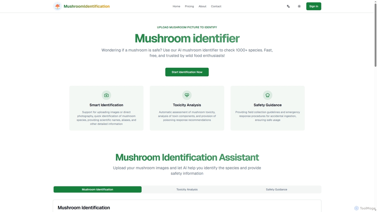
An AI-powered tool for identifying over 1,000 mushroom species from photos. It offers fast species recognition, toxicity analysis, …
An AI-powered tool for identifying over 1,000 mushroom species from photos. It offers fast species recognition, toxicity analysis, and safety guidance for foragers and nature enthusiasts. A free trial is available.
About Outdoor
AI Outdoor tools are applications that use artificial intelligence to plan, enhance, and navigate outdoor activities. These tools leverage machine learning, computer vision, and predictive analytics on environmental data like weather patterns and terrain maps. They provide users with intelligent route suggestions, real-time safety alerts, and deeper insights into the natural world. This transforms a standard outing into a more informed, safe, and engaging experience.
Core Features
- Intelligent Route Planning: Generates optimal trails based on user fitness level, desired scenery, and real-time conditions like weather or trail closures.
- Predictive Weather Analysis: Offers hyper-local and long-range weather forecasts, including alerts for sudden changes in conditions.
- Flora and Fauna Identification: Uses a device's camera and computer vision to instantly identify plants, animals, insects, and even geological formations.
- Personalized Activity Recommendations: Suggests new trails, parks, or activities based on a user's past behavior, preferences, and current location.
- Safety and Risk Assessment: Analyzes terrain, weather, and user-provided data to assess risks like avalanches, difficult terrain, or dehydration.
Use Cases
These tools are ideal for hikers, campers, mountaineers, and backpackers seeking to optimize their trips and enhance safety. Nature photographers and wildlife enthusiasts use them for species identification and finding optimal locations. They are also valuable for families and casual adventurers who want curated, safe, and educational outdoor experiences.
How to Choose
When selecting an AI Outdoor tool, consider its specialization—whether it's for hiking, fishing, or botany. Evaluate the quality and availability of its offline maps and features, which are crucial in remote areas. Assess the accuracy of its data sources for weather, trails, and species identification. Finally, check for community features like user reviews and shared trip data, which can provide valuable real-world insights.
OutdoorUse Cases
Planning a Multi-Day Hiking Trip
A long-distance hiker is planning a 5-day trek through a national park. Using an AI Outdoor tool, they input their desired daily mileage and difficulty level. The AI generates a complete itinerary, including optimal campsites near water sources, elevation profiles for each day, and a detailed 5-day weather forecast for specific points along the trail. It also highlights potential hazards like river crossings or areas with reported bear activity, allowing the hiker to prepare accordingly and travel with greater confidence.
Identifying Flora and Fauna on a Nature Walk
A family is exploring a local nature reserve. When their child points to an unfamiliar flower, a parent uses an AI Outdoor app on their phone. By simply taking a photo, the app's computer vision model instantly identifies it as a 'Wild Bergamot', providing details about its habitat, medicinal uses, and look-alikes. Later, they use the same feature to identify a bird by its song, turning a simple walk into an interactive and educational experience for the whole family.
Finding the Best Spot for Astrophotography
An amateur astrophotographer wants to capture the Perseid meteor shower. They use an AI-powered outdoor planning tool to find the best viewing location. The tool analyzes light pollution maps, topographical data for unobstructed views of the sky, and cloud cover forecasts for the night of the shower. It recommends a specific clearing in a state forest 50 miles away, providing the exact coordinates and predicting the peak viewing time with minimal atmospheric interference, significantly increasing the photographer's chances of getting spectacular shots.
Optimizing a Fishing Trip with Predictive Analytics
An angler uses an AI fishing app to plan their weekend trip. The app analyzes historical catch data, water temperatures, barometric pressure trends, and lunar cycles. Based on this multi-factor analysis, it predicts that bass will be most active in a specific cove between 6 AM and 9 AM. It even suggests the most effective lure type and color for the predicted conditions. This data-driven approach helps the angler avoid unproductive spots and times, maximizing their chances of a successful catch.
Ensuring Safety in Backcountry Skiing
A backcountry skier uses an AI-powered safety app before heading into the mountains. The app aggregates data from local avalanche centers, weather stations, and recent user reports. Its AI model analyzes this information to generate a detailed risk assessment for their planned route, highlighting specific slopes with high avalanche danger based on angle, aspect, and recent snow load. The app provides real-time alerts if conditions change, allowing the skier to make informed decisions and choose a safer route to avoid potential disasters.
Creating a Personalized Adventure Itinerary
A couple planning a weekend getaway tells an AI travel planner they want a 'relaxing outdoor trip with moderate hiking and good food'. The AI processes this natural language request and generates a personalized itinerary. It suggests a scenic 4-mile loop trail for Saturday morning, followed by lunch at a highly-rated brewery with an outdoor patio nearby. For Sunday, it recommends a visit to a botanical garden. The tool bundles maps, reservations links, and weather forecasts into a single, easy-to-use plan, saving hours of manual research.