GeoGuess
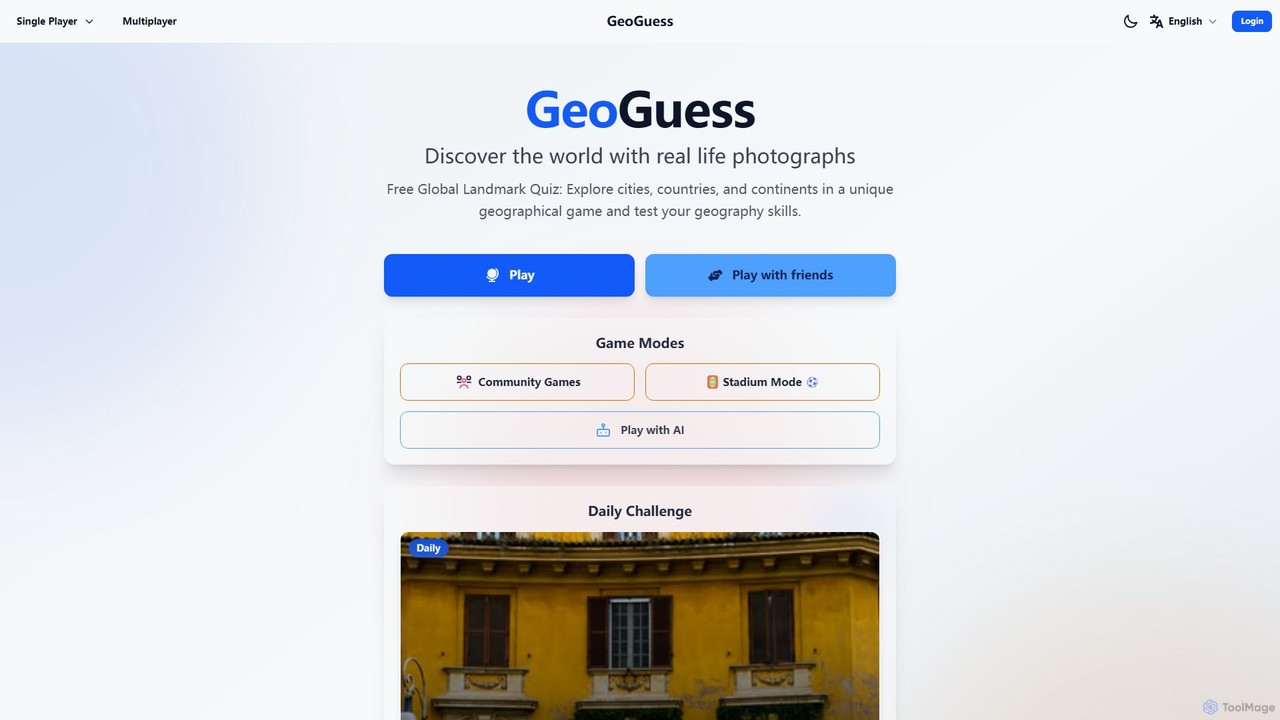
GeoGuess is a free, AI-powered online geography game that challenges you to guess locations from real-life photos and …
GeoGuess is a free, AI-powered online geography game that challenges you to guess locations from real-life photos and AI-generated images. Compete in single-player or multiplayer modes, climb leaderboards, and explore the world. A great alternative to GeoGuessr with unique community and AI features.

Touring Test
Touring Test is an innovative AI-powered web game where you guess cities based on unique literature and art …
Touring Test is an innovative AI-powered web game where you guess cities based on unique literature and art created by generative AI. Challenge your geographical and cultural knowledge through multiple game modes, including multiple choice and map-based guessing. It's a fun, educational, and endlessly replayable experience that showcases the creative potential of artificial intelligence.
Textomap
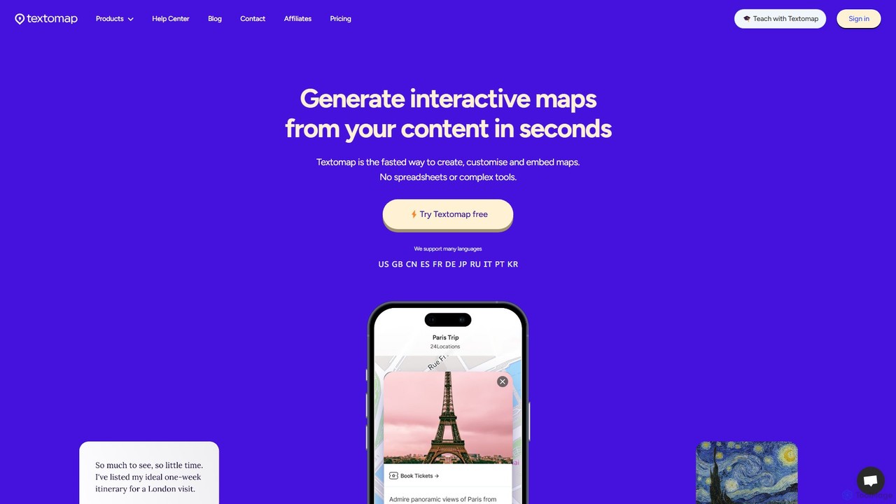
Textomap is an AI-powered tool that instantly transforms text, ChatGPT prompts, images, or CSV files into interactive, customizable …
Textomap is an AI-powered tool that instantly transforms text, ChatGPT prompts, images, or CSV files into interactive, customizable maps. It's designed for content creators, educators, and travel professionals to visualize location-based data effortlessly, saving hours of manual work.
About Geography
AI Geography tools are specialized applications that leverage artificial intelligence to analyze, visualize, and interpret geospatial data. These tools integrate machine learning and computer vision with geographic information systems (GIS) to uncover patterns, predict trends, and enhance spatial understanding. They are invaluable for researchers, educators, urban planners, and environmental scientists seeking deeper insights from location-based information, significantly advancing the field of geographic analysis within education and research.
Core Features
- Geospatial Data Analysis: Automated processing and interpretation of satellite imagery, LiDAR, and other geographic datasets to extract meaningful information.
- Predictive Mapping: AI models to forecast environmental changes, urban growth, or resource distribution based on historical and real-time geographic data.
- Intelligent Visualization: Dynamic and interactive maps, 3D models, and dashboards driven by AI insights for clearer spatial representation.
- Remote Sensing Interpretation: Automated feature extraction, classification, and change detection from aerial and satellite images, enhancing monitoring capabilities.
- Route Optimization: AI-driven algorithms for efficient pathfinding and logistics planning, considering real-time geographical constraints and traffic.
Applicable Scenarios
These tools are crucial for environmental monitoring, where AI analyzes satellite data to track deforestation or pollution. Urban planners utilize them for simulating city growth and optimizing infrastructure placement. They also support disaster response by rapidly mapping affected areas and identifying safe routes during emergencies.
How to Choose
When selecting an AI Geography tool, consider its compatibility with your data formats (e.g., shapefiles, GeoJSON, raster images), the sophistication of its AI models for specific tasks like prediction or classification, and its integration capabilities with existing GIS platforms. Evaluate its visualization features for clarity and interactivity, and assess its scalability to handle large datasets and complex analyses.
GeographyUse Cases
Environmental Impact Assessment
Environmental scientists and conservationists utilize AI Geography tools to conduct detailed environmental impact assessments. By analyzing satellite imagery and sensor data, AI can automatically detect changes in land use, monitor deforestation rates, track water quality, and identify pollution sources. This enables rapid assessment of ecological health and supports informed decision-making for conservation efforts and policy development.
Urban Planning and Development
City planners and urban developers leverage AI Geography tools to model and predict urban growth patterns. By integrating demographic data, infrastructure layouts, and land use information, AI can simulate various development scenarios, identify optimal locations for new infrastructure projects, and assess the impact of zoning changes. This facilitates more sustainable and efficient urban planning, addressing challenges like traffic congestion and resource allocation.
Disaster Response and Management
Emergency services and disaster relief organizations employ AI Geography tools for rapid assessment and strategic planning during natural disasters. AI can quickly process satellite and drone imagery to map affected areas, identify damaged infrastructure, and locate populations in need. This capability significantly improves the speed and accuracy of resource deployment, evacuation route planning, and overall disaster management efficiency.
Precision Agriculture Optimization
Farmers and agricultural researchers utilize AI Geography tools to optimize crop yields and resource management. By analyzing drone imagery, satellite data, soil composition, and weather patterns, AI can identify areas requiring specific irrigation, fertilization, or pest control. This precision agriculture approach minimizes waste, reduces environmental impact, and maximizes productivity across large farmlands.
Logistics and Supply Chain Route Planning
Logistics companies and supply chain managers deploy AI Geography tools to optimize delivery routes and fleet management. AI algorithms process real-time traffic data, weather conditions, road networks, and geographical constraints to calculate the most efficient paths. This leads to reduced fuel consumption, faster delivery times, and lower operational costs, significantly enhancing the efficiency of transportation networks.
Geological Exploration and Resource Discovery
Geologists and mining companies utilize AI Geography tools to enhance geological exploration and resource discovery. By processing vast amounts of seismic data, geological maps, and remote sensing imagery, AI can identify subtle patterns and anomalies indicative of mineral deposits or oil reserves. This accelerates the exploration process, reduces drilling costs, and increases the success rate of discovering valuable natural resources.