Telborg
Telborg is an AI-powered news platform delivering concise, verified global climate news. It sources information directly from official …
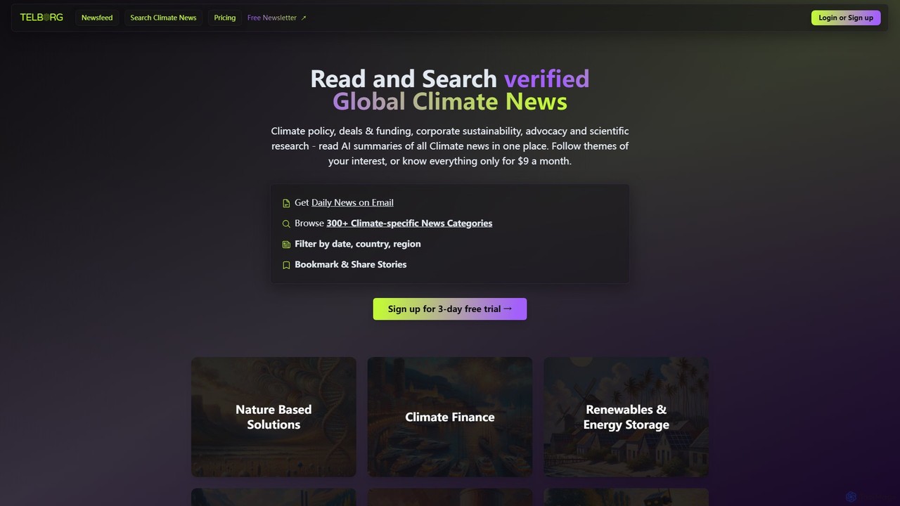
Telborg is an AI-powered news platform delivering concise, verified global climate news. It sources information directly from official bodies like governments, corporations, and research institutions, providing AI-generated summaries across 300+ specific climate categories. It's designed for professionals who need credible, up-to-date insights on climate policy, finance, technology, and sustainability.
About Environment
Environment AI tools are a specialized class of scientific software that use artificial intelligence to analyze, model, and manage complex environmental systems. These tools leverage machine learning algorithms and computer vision to process vast datasets from sources like satellites, sensors, and climate records. They provide critical insights for addressing challenges such as climate change, biodiversity loss, and pollution control, enabling more accurate predictions and data-driven decision-making. Their primary value lies in automating the analysis of large-scale environmental data, revealing patterns that are difficult for humans to detect.
Core Features
- Predictive Modeling: Simulates future environmental scenarios, such as climate change impacts, sea-level rise, or air quality forecasts.
- Satellite & Drone Image Analysis: Automatically detects and quantifies environmental changes like deforestation, urbanization, or ice cap melt from aerial imagery.
- Biodiversity Monitoring: Identifies and classifies plant and animal species from images, audio recordings, or sensor data to track population dynamics.
- Environmental Data Pattern Recognition: Analyzes complex datasets to identify pollution sources, track contaminant plumes, or understand ecological relationships.
- Resource Optimization: Recommends sustainable management strategies for resources like water, energy, or land based on AI-driven analysis.
Use Cases
These tools are primarily used by environmental scientists, conservation organizations, government agencies (like the EPA or ESA), and companies in the agriculture and renewable energy sectors. Common applications include monitoring deforestation in the Amazon, predicting wildfire spread in vulnerable regions, assessing the health of coral reefs, and optimizing the placement of wind turbines for maximum energy efficiency.
How to Choose
When selecting an Environment AI tool, consider the following: Data Compatibility (does it support your specific data formats like satellite, LiDAR, or sensor data?), Model Transparency and Accuracy (are the underlying models validated and their performance metrics clear?), Scalability (can it handle large geographical areas or long-term datasets?), and Domain Specificity (is it tailored for your field, such as hydrology, forestry, or atmospheric science?).
EnvironmentUse Cases
Monitor Deforestation with Satellite Imagery
A conservation analyst at an international NGO is tasked with tracking illegal logging in a protected rainforest. Instead of manually comparing satellite photos, which is slow and prone to error, they use an Environment AI tool. The platform automatically ingests and analyzes weekly satellite imagery, using a computer vision model trained to detect changes in forest cover. When the AI identifies a new clearing, it flags the coordinates, calculates the area of deforestation, and sends an alert to the team. This allows for near real-time monitoring and enables rapid response to protect vulnerable ecosystems.
Predict Urban Air Quality for Public Health
A city's environmental planning department needs to issue timely air quality warnings to the public. They use an AI tool that integrates real-time data from air quality sensors, traffic flow information, and meteorological forecasts. The AI model predicts pollution levels (like PM2.5 and Ozone) for different city districts up to 48 hours in advance with high accuracy. Based on these predictions, the department can issue targeted health advisories, suggest that sensitive groups remain indoors, or even implement temporary traffic restrictions to mitigate pollution peaks, thereby protecting public health.
Automate Wildlife Species Identification
A team of wildlife biologists deploys hundreds of camera traps in a national park to study elusive species. This generates hundreds of thousands of images, which would take months to review manually. They upload the entire dataset to an AI-powered biodiversity monitoring platform. The tool's image recognition model, trained on millions of wildlife photos, automatically identifies the species in each image, timestamps the sighting, and filters out empty frames. This reduces the data processing time by over 90%, allowing scientists to focus on analyzing population trends and behavior rather than tedious image sorting.
Optimize Irrigation for Sustainable Agriculture
A large-scale farm manager aims to reduce water consumption while maintaining crop yield. They implement an AI-powered irrigation system. The system collects data from soil moisture sensors, local weather stations, and satellite imagery showing crop health. The AI algorithm analyzes this data in real-time to create a dynamic irrigation schedule, delivering the precise amount of water needed for each section of the field. This precision agriculture approach prevents overwatering and underwatering, leading to a reduction in water usage by up to 30% and healthier, more resilient crops.
Simulate Climate Change Impact on Coastal Cities
A government policy advisor needs to assess the future risk of flooding in a major coastal city due to sea-level rise. They use an AI-powered climate modeling tool. By inputting various carbon emission scenarios and local topographical data, the model simulates sea-level rise and predicts the frequency and severity of coastal flooding events over the next 50 years. The results, often visualized on interactive maps, provide clear, data-driven evidence to support decisions on infrastructure investment, such as building sea walls or developing new zoning regulations for vulnerable areas.
Early Wildfire Detection and Spread Prediction
A fire management agency in a high-risk region uses an AI system for proactive wildfire management. The system continuously analyzes a combination of satellite thermal imagery, weather data (wind speed, humidity), and vegetation dryness maps. Its AI model is trained to detect the thermal signatures of new fires often before they are reported by humans. Once a fire is detected, a second AI model predicts its potential spread path over the next few hours based on wind and terrain. This provides fire crews with a critical head start, enabling faster resource deployment and more effective evacuation planning.