Paladin Drones
Visit Website
Paladin Drones Overview
Paladin Drones is revolutionizing public safety with its comprehensive, all-in-one Drone as First Responder (DFR) solution. The company's mission is to send autonomous drones to 911 calls, providing first responders with a live, overhead view of an emergency scene before they arrive. This critical, real-time intelligence significantly enhances situational awareness, decreases response times to an average of 90 seconds, and ultimately saves lives. Born from a founder's personal experience with the devastating impact of a house fire, Paladin is dedicated to equipping police departments, fire departments, and other emergency services with the technology they need to operate more effectively and safely.
The Paladin ecosystem is a turnkey solution that integrates hardware, software, connectivity, and regulatory compliance. It is designed to be seamlessly adopted by public safety agencies, removing the complexities typically associated with implementing a drone program. By providing an end-to-end service, Paladin allows first responders to focus on their core mission: protecting and serving their communities.
How to use Paladin Drones
The operational workflow of the Paladin Drones system is designed for speed, autonomy, and simplicity. The process begins the moment a 911 call is received:
- Automated Dispatch: When a 911 call comes in, the system automatically dispatches a drone from a strategically placed, weather-resistant DJI Docking Station.
- Autonomous Flight: The drone, equipped with the Paladin EXT module for reliable LTE cellular connectivity, autonomously navigates to the incident location, flying Beyond Visual Line of Sight (BVLOS).
- Real-Time Intelligence Gathering: Upon arrival, the drone begins streaming high-definition and thermal video in real-time to the Watchtower command platform. This provides a crucial aerial perspective of the scene.
- Informed Response: Officers, firefighters, and commanders can view the live feed from their vehicles or a command center. This allows them to assess threats, identify the scale of the incident (e.g., size of a fire, number of vehicles in a crash), locate suspects or victims, and develop a strategic plan of action before arriving on scene.
- Mission Completion and Return: Once the mission is complete, an operator simply hits the “return to home” button, and the drone autonomously flies back to its dock, where it lands and recharges for the next call.
- Data Management: All flight logs, video evidence, and compliance data are automatically recorded and managed within the Watchtower platform for easy review and reporting.
Core Features of Paladin Drones
- Watchtower Software: A centralized command and control platform that allows for remote drone operation, unlimited live video streaming, and comprehensive data management. It acts as a force multiplier, providing real-time intelligence to all stakeholders.
- Paladin EXT LTE Module: An innovative module that equips drones with cellular connectivity, enabling unlimited range and reliable BVLOS operations, overcoming the limitations of traditional radio frequencies.
- High-Performance Drones: The system utilizes versatile and powerful drones like the DJI M30T and M350, as well as Paladin's own US-manufactured Knighthawk drone. These are equipped with advanced sensors, including thermal imaging cameras.
- Autonomous Docking Station: The DJI Dock 1 provides a secure, temperature-regulated base for the drone, enabling automated takeoff, landing, and recharging, ensuring the system is available 24/7.
- End-to-End FAA Compliance: Paladin handles the entire regulatory process, including securing Certificates of Authorization (COA) and BVLOS waivers, and provides ongoing support to ensure departments remain compliant.
- ADS-B Receiver: Enhances airspace safety by providing real-time alerts on the position of nearby manned aircraft, mitigating collision risks during missions.
Use Cases for Paladin Drones
Paladin's DFR solution is designed for a wide range of public safety scenarios:
- Law Enforcement: Tracking fleeing suspects, gaining aerial oversight during SWAT and tactical operations, accident reconstruction, and monitoring large public events.
- Fire Response: Assessing the size and spread of active fires, identifying hotspots with thermal imaging, and locating trapped individuals, all before crews enter a dangerous area.
- Emergency Medical Services: Quickly locating victims in mass casualty incidents, assessing the severity of car crashes to dispatch appropriate resources, and navigating difficult terrain to find injured parties.
- Traffic Management: Monitoring traffic violations and congestion, and providing a clear view of accident scenes to clear them more efficiently.
Advantages of Paladin Drones
The adoption of the Paladin Drones system offers numerous advantages to public safety agencies:
- Drastically Reduced Response Times: Drones arrive on scene in under two minutes, providing immediate eyes on the situation.
- Enhanced Officer and Community Safety: By assessing dangers from the air, the system reduces risks to first responders and helps de-escalate situations.
- Improved Situational Awareness: The aerial perspective provides unparalleled context that is impossible to get from the ground, leading to better-informed decisions.
- Cost-Effective Force Multiplier: A single drone can do the work of multiple officers in terms of surveillance and reconnaissance, allowing for more efficient allocation of personnel.
- Complete, Hassle-Free Solution: Paladin provides all necessary hardware, software, training, and regulatory support, making it easy for agencies to launch and maintain a DFR program.
Pricing and Plans
Paladin Drones operates on a customized pricing model tailored to the specific needs of each public safety department. Pricing is not publicly listed. Interested agencies are encouraged to contact Paladin directly and use the "Book a Demo" option on their website to receive a personalized quote and consultation based on their operational scale, number of drones required, and specific integration needs.
Paladin Drones Comments (0)
Log in to post comments
Log in nowPaladin DronesWebsite Traffic Analysis
Latest Traffic
Status
Monthly Traffic Trend
Geography
Top 5 Countries/Regions
-
🇺🇸 United States99.12%
-
🇨🇦 Canada0.38%
-
🇬🇧 United Kingdom0.30%
-
🇮🇳 India0.20%
Traffic source
| Source Type | Percentage |
|---|---|
|
Direct Access
|
98.48% |
|
Email
|
1.52% |
Popular Keywords
| Keyword | Cost Per Click |
|---|---|
|
$1.67
|
|
|
$0.00
|
|
|
$0.00
|
|
|
$1.74
|
|
|
$0.00
|
Paladin Drones Alternatives
View All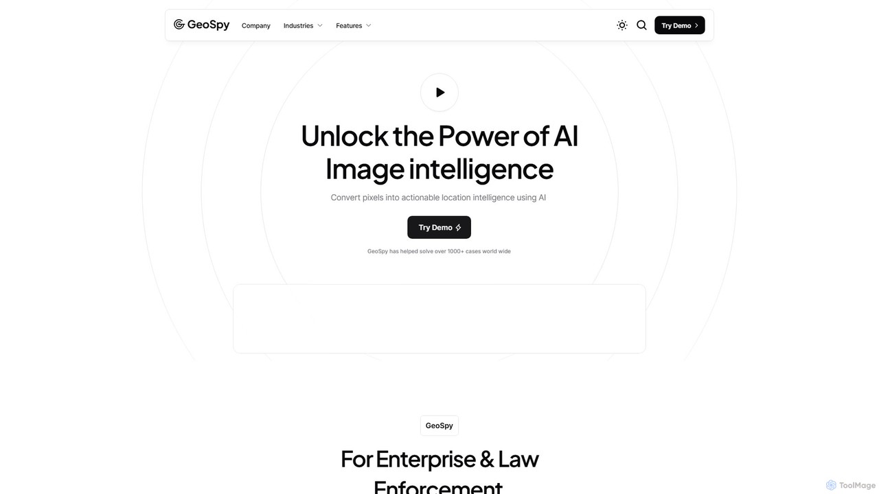
GeoSpy
GeoSpy is an advanced AI platform that transforms images into precise, actionable location intelligence. Designed for law enforcement, …
GeoSpy is an advanced AI platform that transforms images into precise, actionable location intelligence. Designed for law enforcement, government agencies, and enterprise organizations, it utilizes state-of-the-art computer vision models to determine geographic locations from images with meter-level accuracy, helping solve cases and gather critical intelligence in seconds.
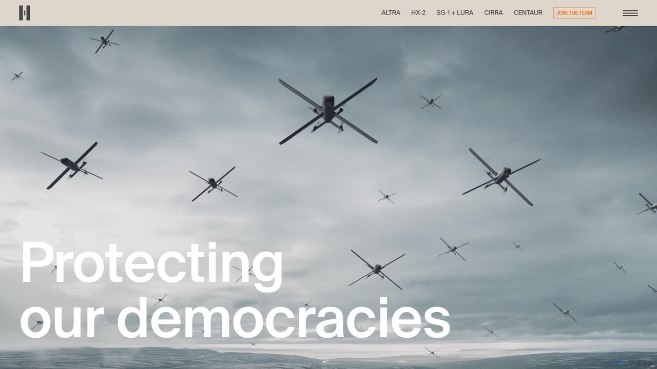
Helsing
Helsing is a European defence technology company that develops advanced artificial intelligence and software to enhance the defence …
Helsing is a European defence technology company that develops advanced artificial intelligence and software to enhance the defence capabilities of democratic nations. It focuses on providing autonomous and precision mass capabilities for land, air, and sea domains to ensure national security and technological sovereignty.

Flock Safety
Flock Safety is an all-in-one public safety platform that utilizes AI-powered cameras, license plate readers (LPR), and audio …
Flock Safety is an all-in-one public safety platform that utilizes AI-powered cameras, license plate readers (LPR), and audio detection to help law enforcement, businesses, and communities reduce crime. It provides actionable, real-time evidence to solve and deter criminal activity, creating a comprehensive security network.
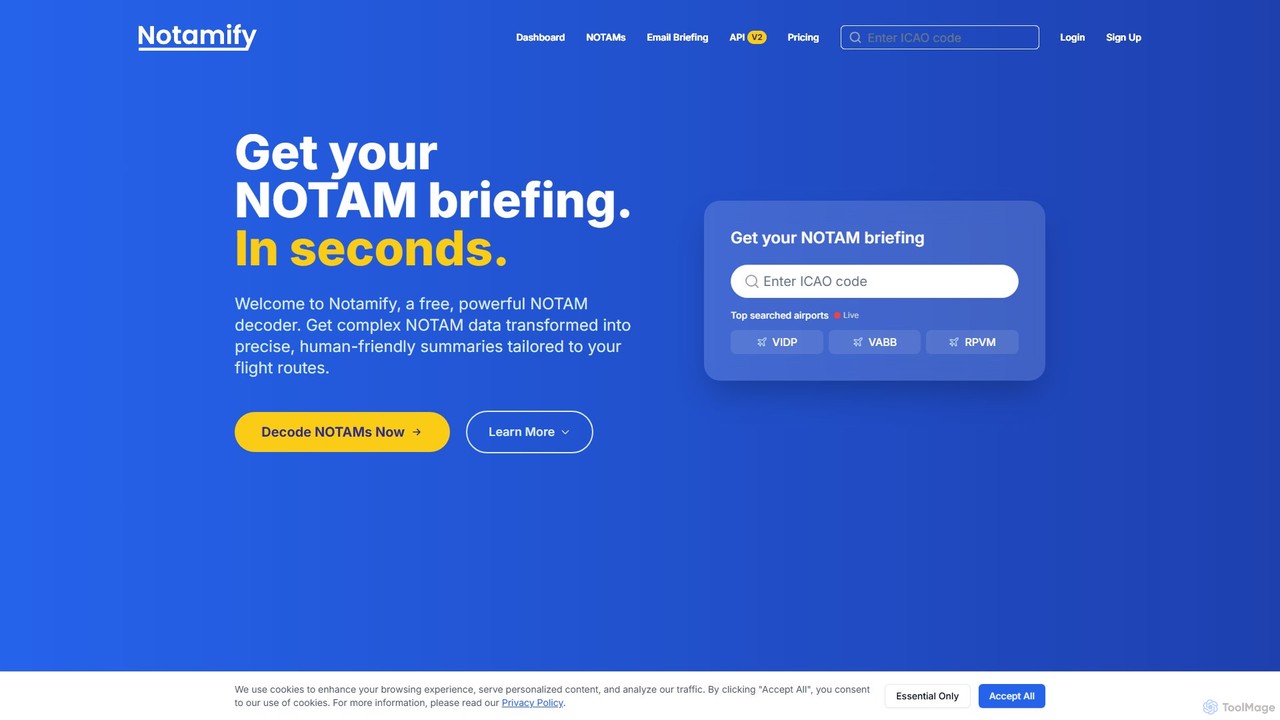
Notamify
Notamify is an AI-powered NOTAM decoder and briefing tool designed for aviation professionals. It transforms complex, raw NOTAM …
Notamify is an AI-powered NOTAM decoder and briefing tool designed for aviation professionals. It transforms complex, raw NOTAM data into clear, human-friendly summaries and structured, actionable intelligence. By filtering out noise and highlighting critical information, Notamify helps pilots, dispatchers, and airport operators save significant time on pre-flight preparations and enhance situational awareness.
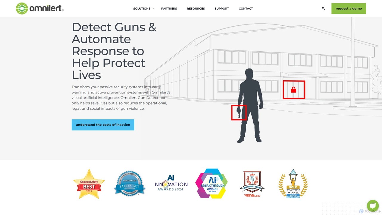
Omnilert
Omnilert is a leader in AI-powered visual gun detection and emergency notification systems. It transforms existing security cameras …
Omnilert is a leader in AI-powered visual gun detection and emergency notification systems. It transforms existing security cameras into proactive threat detection tools, capable of identifying firearms in real-time. The system combines AI monitoring with human verification to ensure accuracy, triggering automated responses like lockdowns and alerting first responders. This provides critical early warnings to help protect lives and mitigate the impact of gun violence across various industries.
Rekor
Rekor is an AI-powered roadway intelligence platform that collects, connects, and organizes global mobility data. It provides actionable …
Rekor is an AI-powered roadway intelligence platform that collects, connects, and organizes global mobility data. It provides actionable insights for transportation, government, law enforcement, and commercial sectors to enhance safety, efficiency, and urban planning through advanced computer vision and machine learning.
Aurelian
Aurelian is a conversational AI platform designed for public safety agencies to automate non-emergency calls. It intelligently routes …
Aurelian is a conversational AI platform designed for public safety agencies to automate non-emergency calls. It intelligently routes callers, triages situations, and creates service call summaries in real-time. This allows dispatchers to focus on critical emergencies, reducing workload, eliminating hold times, and improving overall operational efficiency for 911 centers.
OpenALPR
OpenALPR by Rekor is an advanced Automatic License Plate Recognition (ALPR) software that transforms standard IP, traffic, or …
OpenALPR by Rekor is an advanced Automatic License Plate Recognition (ALPR) software that transforms standard IP, traffic, or security cameras into powerful vehicle recognition systems. It provides high-accuracy license plate reading, vehicle make, model, and color identification, and actionable data for security, operations management, and law enforcement.
icetana
icetana is an AI-powered video analytics platform that enhances existing CCTV systems by automatically detecting anomalies and unusual …
icetana is an AI-powered video analytics platform that enhances existing CCTV systems by automatically detecting anomalies and unusual events. It uses self-learning AI to identify threats in real-time, helping security teams monitor large-scale camera networks proactively and efficiently, reducing operator workload and improving response times.
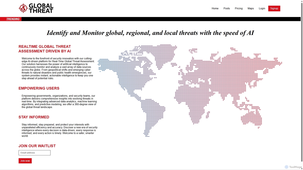
Global Threat
Global Threat is an AI-driven platform for real-time identification, monitoring, and assessment of global, regional, and local threats. …
Global Threat is an AI-driven platform for real-time identification, monitoring, and assessment of global, regional, and local threats. It analyzes vast data sources to provide actionable intelligence on geopolitical shifts, cyber threats, natural disasters, and public health emergencies, empowering governments, organizations, and security teams.
Paladin Drones Category
Paladin Drones Tag
Paladin Drones AI Tool Comparison
Paladin Drones Embed Feature
Just copy the embed code below and paste this beautiful badge on your blog, article, or official app website to drive traffic directly to this tool's detail page and quickly boost your exposure and user count!

No comments yet, be the first to comment!