Maplytics is a certified geo-analytical mapping app that integrates Azure or Bing Maps with Microsoft Dynamics 365 and Power Platform. It provides powerful location intelligence features like route optimization, territory management, radius search, and heat maps to enhance sales, service, and marketing operations, enabling data-driven decisions and boosting ROI.
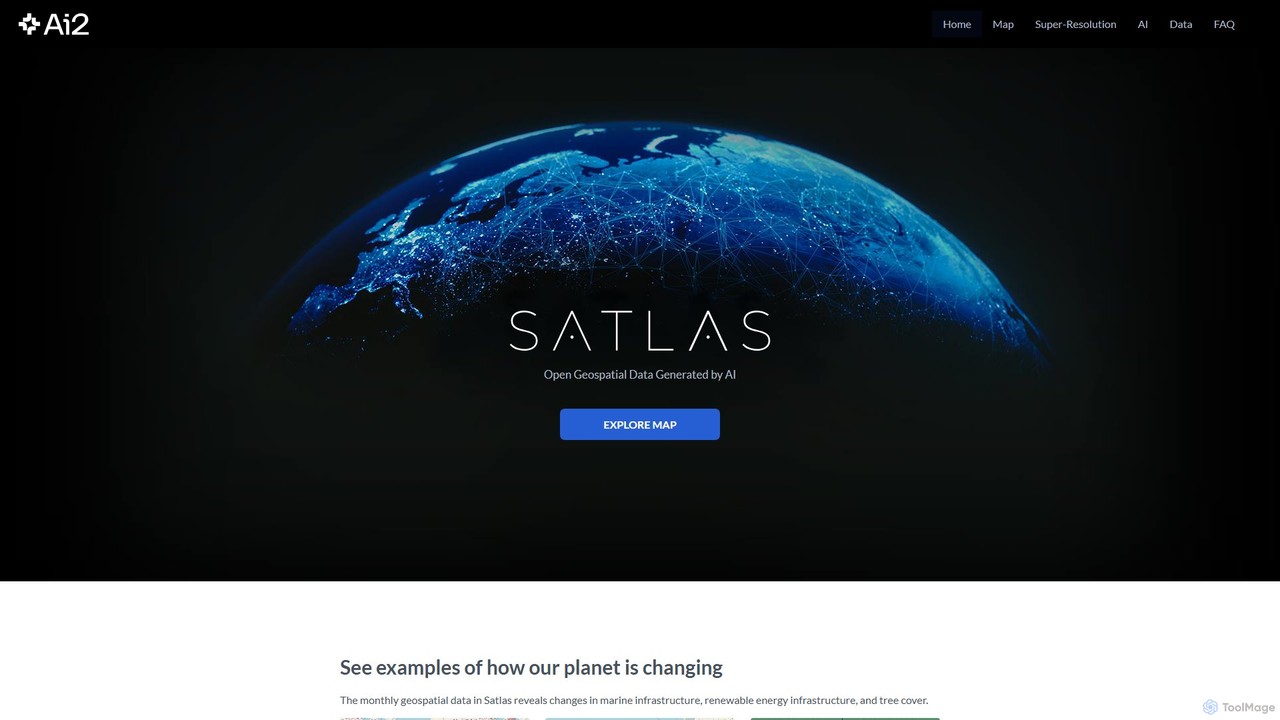
Satlas is an AI-powered platform by the Allen Institute for AI that provides open, high-resolution geospatial data. It uses advanced computer vision models to analyze global satellite imagery, tracking changes in tree cover, renewable energy, and marine infrastructure. Its key feature is Super-Resolution, which enhances low-resolution images for detailed analysis.
Product overview
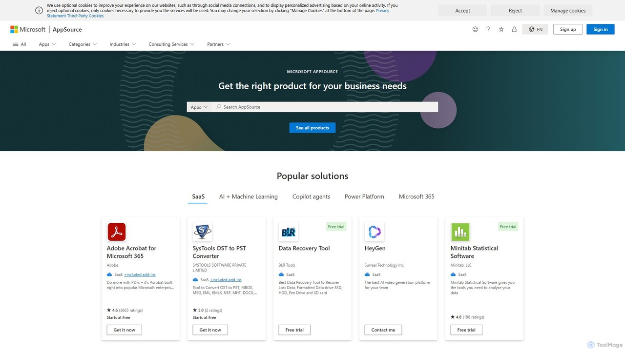
Maplytics Product overview
Maplytics is a certified geo-analytical mapping app that integrates Azure or Bing Maps with Microsoft Dynamics 365 and Power Platform. It provides powerful location intelligence features like route optimization, territory management, radius search, and heat maps to enhance sales, service, and marketing operations, enabling data-driven decisions and boosting ROI.
Satlas Product overview
Satlas is an AI-powered platform by the Allen Institute for AI that provides open, high-resolution geospatial data. It uses advanced computer vision models to analyze global satellite imagery, tracking changes in tree cover, renewable energy, and marine infrastructure. Its key feature is Super-Resolution, which enhances low-resolution images for detailed analysis.
Detailed feature comparison
| Feature | Maplytics | Satlas |
|---|---|---|
| Primary category | Geospatial Intelligence | Geospatial |
| Added | 2025-08-16 | 2025-08-03 |
| Pricing | Freemium | Free |
| Official website | appsource.microsoft.com | satlas.allen.ai |
| Product type | App | Website |
| Performance data | ||
| User rating | Not verified | Not verified |
| Comments | 0 | 0 |
| Monthly visits | 756.5K | 2.1K |
| Monthly growth | 2.6% | 20.1% |
| Favorites | 141 | 90 |
| Details | View details | View details |
Maplytics vs Satlas monthly traffic
Compare Maplytics and Satlas by monthly reach, traffic trend, visit depth, top regions, and acquisition sources.
How to interpret the traffic data
In the Maplytics vs Satlas monthly traffic comparison, Maplytics currently shows 756.5K visits and Satlas shows 2.1K; Maplytics has about 354.7 times the visible traffic of Satlas, an absolute difference of about 754.4K visits. This reflects visible reach, not feature quality or paid users.
Both tools provide verified traffic details, so monthly trends, visit depth, regions, and acquisition sources can be compared on the same basis.
Maplytics is registered at the appsource.microsoft.com/en-us subpage. Because the current data does not state whether other host pages are excluded, treat this as domain-level context rather than independent traffic for one product or project.
Maplytics monthly traffic:
Latest traffic
Monthly traffic trend
- 2026/1: 738.7K Monthly visits
- 2026/2: 659.7K Monthly visits
- 2026/3: 783.3K Monthly visits
- 2026/4: 737.1K Monthly visits
- 2026/5: 756.5K Monthly visits
Top regions
Top 5 countries/regions
| Country/region | Percentage | Traffic |
|---|---|---|
| 🇺🇸United States | 35.23% | 266.5K |
| 🇮🇳India | 27.05% | 204.6K |
| 🇫🇷France | 14.23% | 107.7K |
| 🇮🇩Indonesia | 14.16% | 107.1K |
| 🇵🇪Peru | 9.33% | 70.6K |
Search keywords
Satlas monthly traffic:
Latest traffic
Monthly traffic trend
- 2025/9: 1.8K Monthly visits
- 2026/1: 1.6K Monthly visits
- 2026/2: 1.5K Monthly visits
- 2026/3: 2.5K Monthly visits
- 2026/4: 1.8K Monthly visits
- 2026/5: 2.1K Monthly visits
Top regions
Top 5 countries/regions
| Country/region | Percentage | Traffic |
|---|---|---|
| 🇺🇸United States | 59.08% | 1.3K |
| 🇮🇳India | 12.25% | 261 |
| 🇩🇪Germany | 11.22% | 239 |
| 🇮🇹Italy | 9.24% | 197 |
| 🇦🇪United Arab Emirates | 8.21% | 175 |
Traffic sources
| Source type | Percentage | Traffic |
|---|---|---|
| Direct | 66.72% | 1.4K |
| Referral | 33.28% | 710 |
Search keywords
Usage comparison
Compare the core capabilities of Maplytics and Satlas
Maplytics Core features
Satlas Core features
Use cases
Maplytics Use cases
Satlas Use cases
Maplytics vs Satlas:In-depth comparison and selection guidance
First decide whether the products solve the same kind of need
This in-depth Maplytics vs Satlas comparison uses only the product records, taxonomy, audience, traffic, and community signals available on this page. Maplytics is primarily listed under “Geospatial Intelligence”, while Satlas is primarily listed under “Geospatial”, so the first decision is whether your actual task matches their recorded scope.
The structured fields currently show these decision-relevant differences: Primary category (Maplytics: Geospatial Intelligence; Satlas: Geospatial); Product type (Maplytics: App; Satlas: Website); Pricing (Maplytics: Freemium; Satlas: Free); Monthly visits (Maplytics: 756.5K; Satlas: 2.1K); Monthly growth (Maplytics: 2.6%; Satlas: 20.1%). These facts are more useful for selection than brand visibility alone.
What market visibility and monthly traffic mean
In the Maplytics vs Satlas monthly traffic comparison, Maplytics currently shows 756.5K visits and Satlas shows 2.1K; Maplytics has about 354.7 times the visible traffic of Satlas, an absolute difference of about 754.4K visits. This reflects visible reach, not feature quality or paid users.
Both tools provide verified traffic details, so monthly trends, visit depth, regions, and acquisition sources can be compared on the same basis.
Maplytics is registered at the appsource.microsoft.com/en-us subpage. Because the current data does not state whether other host pages are excluded, treat this as domain-level context rather than independent traffic for one product or project.
Maplytics is registered under a appsource.microsoft.com subpath, so its large visible total may include the host platform. The current data does not justify choosing Maplytics for traffic alone; shortlist by unique taxonomy and use case, then validate with the same tasks.
Product positioning, use cases, and roles
Maplytics and Satlas currently overlap in shared categories: Mapping; shared tags: mapping. This can place both on the same shortlist, but it does not prove equal implementation, depth, or cost.
Maplytics's unique categories/tags are Geospatial Intelligence, Field Service Management, Territory Management, Azure Maps, Bing Maps, CRM, Dynamics 365, and field service; Satlas's are Geospatial, Science, AI, Allen Institute for AI, climate change, computer vision, data visualization, and environmental monitoring. These unique fields are the strongest differentiators: validate the product whose recorded scope matches the task instead of following traffic alone.
What ratings, comments, and favorites can tell you
Maplytics has no verified rating, 0 comments, 141 favorites, and 140 likes;Satlas has no verified rating, 0 comments, 90 favorites, and 96 likes。
Neither product has enough rating or comment samples for a credible reputation ranking.
Selection guidance by actual need
When to evaluate Maplytics first
Put Maplytics on the priority trial list when the task aligns with “Geospatial Intelligence” and especially Geospatial Intelligence, Field Service Management, Territory Management, Azure Maps, Bing Maps, and CRM. This follows recorded positioning and does not imply unlisted capabilities are absent.
Maplytics also currently records: pricing is freemium, product type is app, 756.5K monthly visits shown for the registered host (subpage scope unknown), no verified user rating. Verify any hard requirement around price, platform, or reach before trial, and do not let sparse review data substitute for testing.
When to evaluate Satlas first
Put Satlas on the priority trial list when the task aligns with “Geospatial” and especially Geospatial, Science, AI, Allen Institute for AI, climate change, and computer vision. This follows recorded positioning and does not imply unlisted capabilities are absent.
Satlas also currently records: pricing is free, product type is website, 2.1K verified monthly visits, no verified user rating. Verify any hard requirement around price, platform, or reach before trial, and do not let sparse review data substitute for testing.
How to validate the recommendation before deciding
The available data describes positioning, public visibility, and community signals, but it cannot prove output quality, speed, integration effort, privacy, or long-term cost in your workflow. Before deciding, run the same representative tasks in Maplytics and Satlas, then record completion time, accuracy, manual corrections, and the real paid threshold. A like-for-like trial turns this comparison into a defensible adoption decision.
Comparison FAQ
How should I choose between Maplytics and Satlas?
Where does this comparison data come from?
What do unknown fields mean?
Related AI tools

Atlas
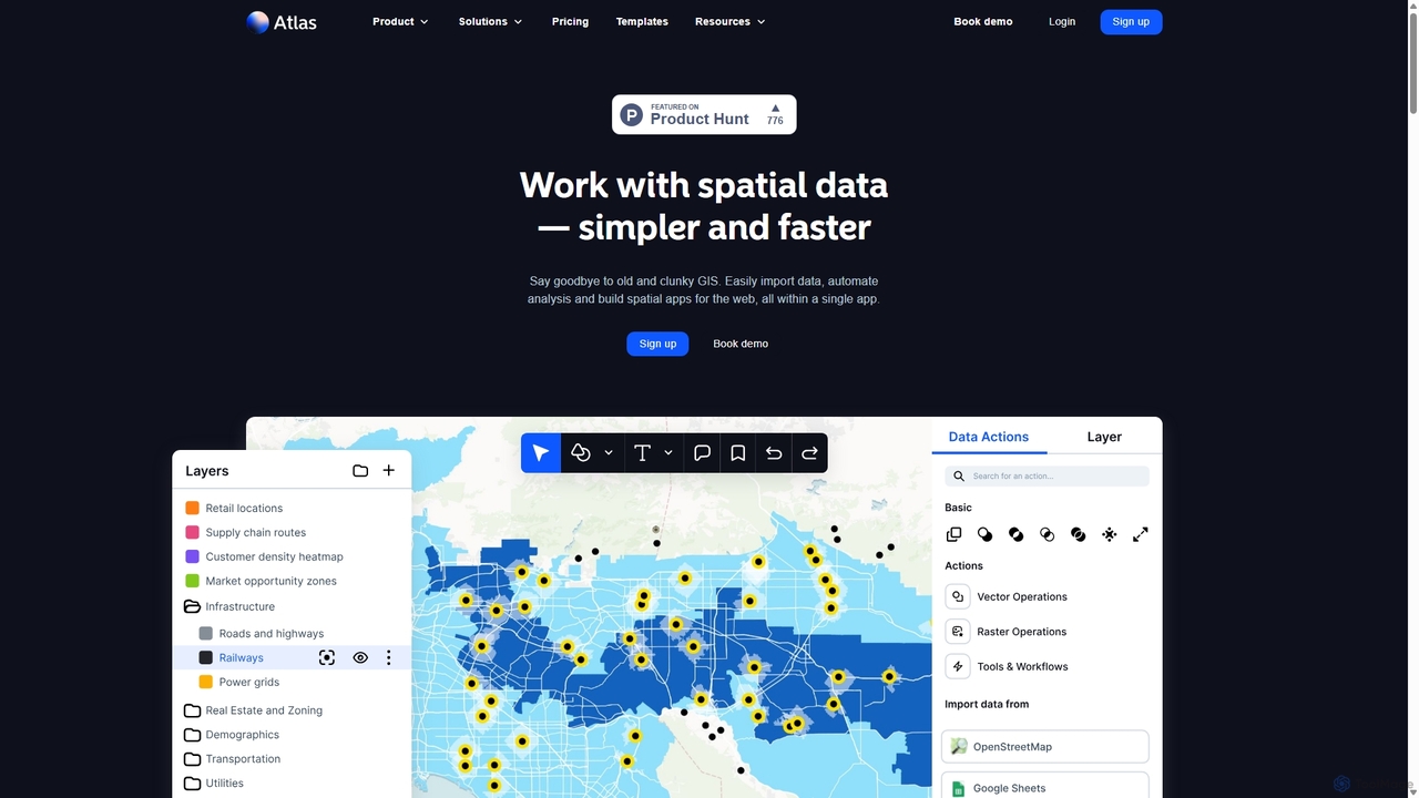
Atlas is an all-in-one, browser-based GIS platform that simplifies spatial data analysis and map creation. It enables users to easily import data, perform over 50 advanced spatial analyses, and build interactive web maps without prior GIS expertise. Designed for collaboration, Atlas is ideal for teams in sales, marketing, real estate, and environmental analysis to visualize data, identify trends, and make informed, location-driven decisions.
Business Intelligence
Flypix
Flypix is an end-to-end AI platform for geospatial analysis, enabling users to automatically detect, localize, and segment objects in satellite, aerial, and drone imagery. Train custom AI models with no coding required to analyze complex scenes, saving significant time and resources across industries like agriculture, construction, and environmental monitoring.
3D
Picterra
Picterra is a GeoAI platform that enables users to analyze satellite and drone imagery to extract insights. It provides a no-code environment for building and deploying object detection models, empowering industries like agriculture, ESG, and infrastructure with scalable environmental intelligence.
Environmental Social Governance
Rapid Editor
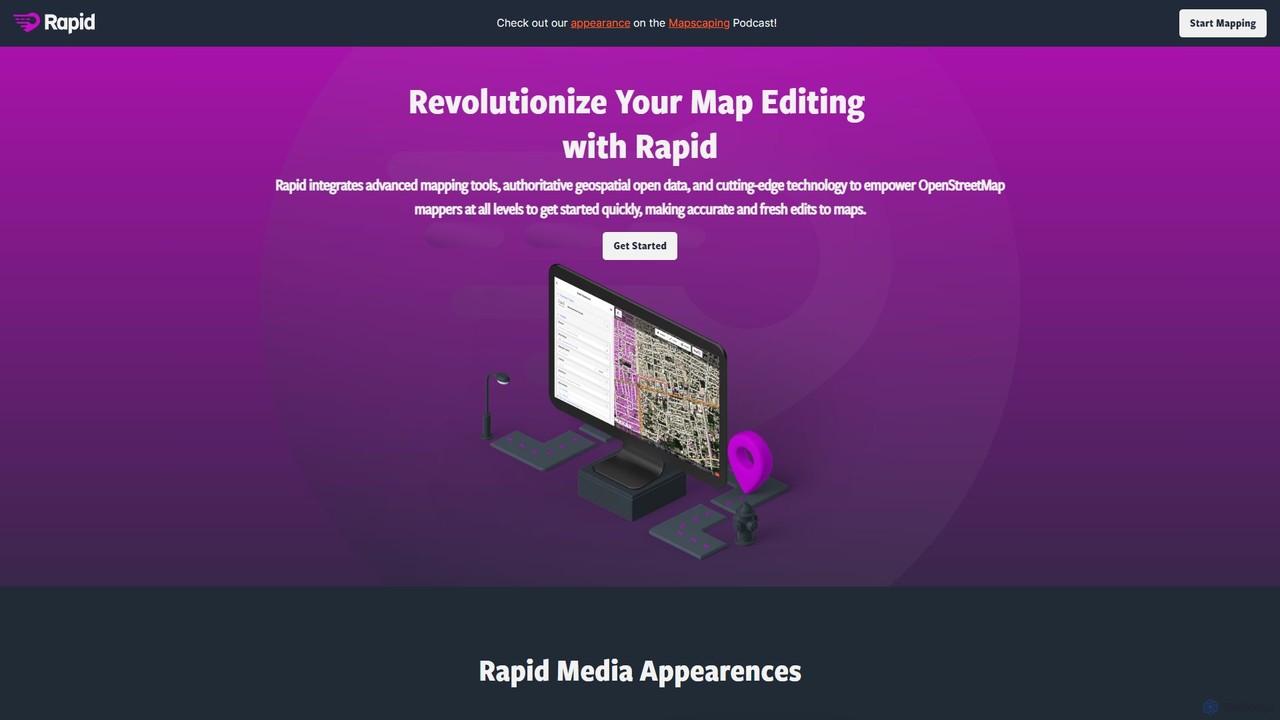
Rapid Editor is an AI-enhanced OpenStreetMap (OSM) editor designed to accelerate and simplify the mapping process. By leveraging AI-detected features from satellite imagery and integrating open data, it allows users to quickly add roads, buildings, and other geographical elements. Its intuitive interface makes it ideal for both beginners and experienced mappers, especially for humanitarian and community-driven mapping projects.
Geospatial Analysis
Pathway
Pathway offers an AI-powered route optimization API designed for businesses to create the most efficient travel paths. It helps logistics, ride-sharing, and service industries save time and money by intelligently planning multi-stop routes, considering real-time traffic and other constraints.
Fleet Management
Feishu Base
Feishu Base is an AI-powered no-code platform that combines the flexibility of a spreadsheet with the power of a database. It enables teams to build custom business systems, automate workflows, and analyze data through intuitive dashboards without writing any code. It's designed for seamless collaboration and data management.
Data Analysis
Geo
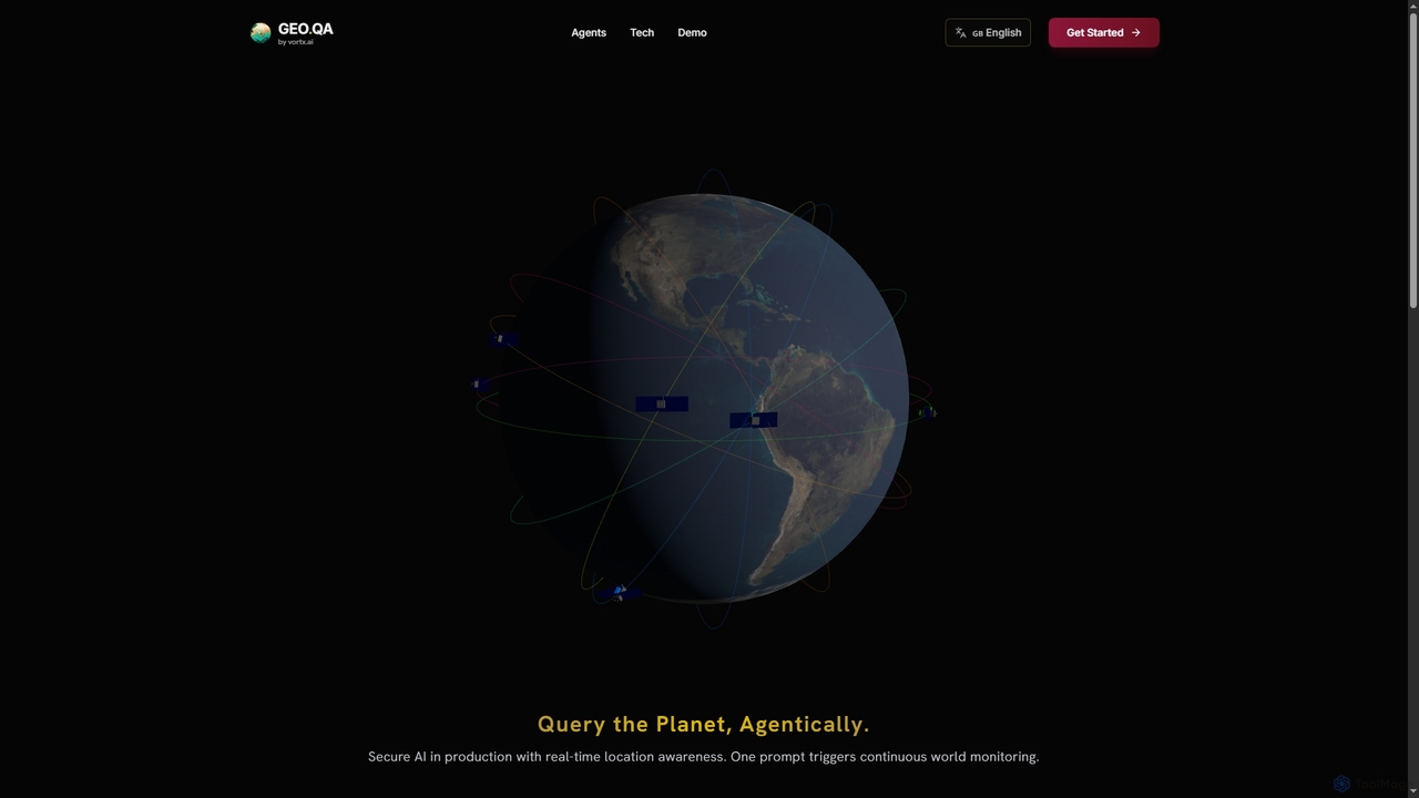
Geo provides real-time geospatial intelligence to AI agents, enabling continuous global monitoring and location-aware decision-making through natural language prompts. It simplifies complex satellite data for enterprise AI applications.
Agent Tools
Salesforce
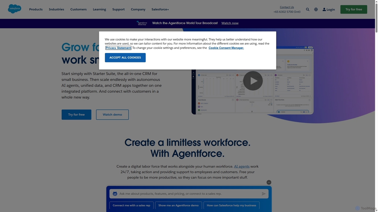
Salesforce is the world's #1 AI-powered Customer Relationship Management (CRM) platform. It helps businesses of all sizes connect with their customers in a whole new way by unifying sales, service, marketing, commerce, and IT on a single, shared platform called Customer 360. With integrated AI like Einstein and Agentforce, it provides intelligent insights and automation to drive efficiency and growth.
Sales Automation
monday.com
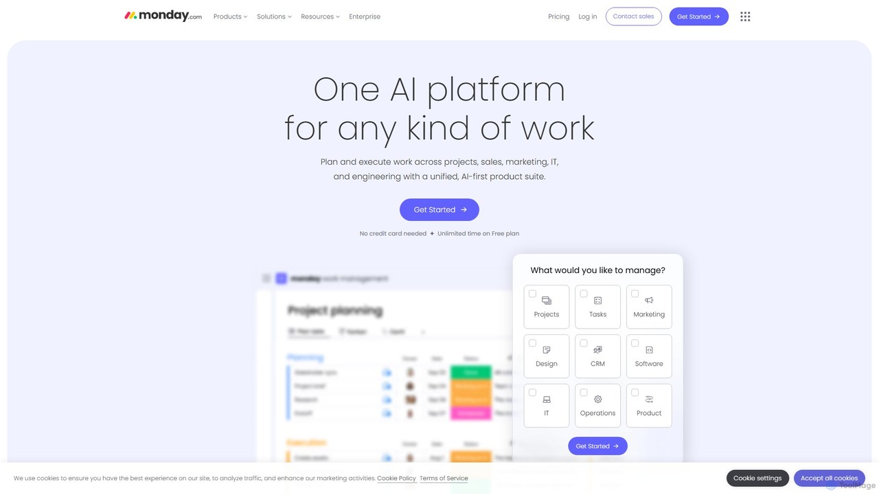
monday.com is a comprehensive Work Operating System (Work OS) that unifies all aspects of work into a single, collaborative platform. It leverages AI to automate tasks, streamline workflows, and provide data-driven insights for teams in project management, sales, marketing, IT, and more, enhancing productivity and visibility.
Crm
Airtable
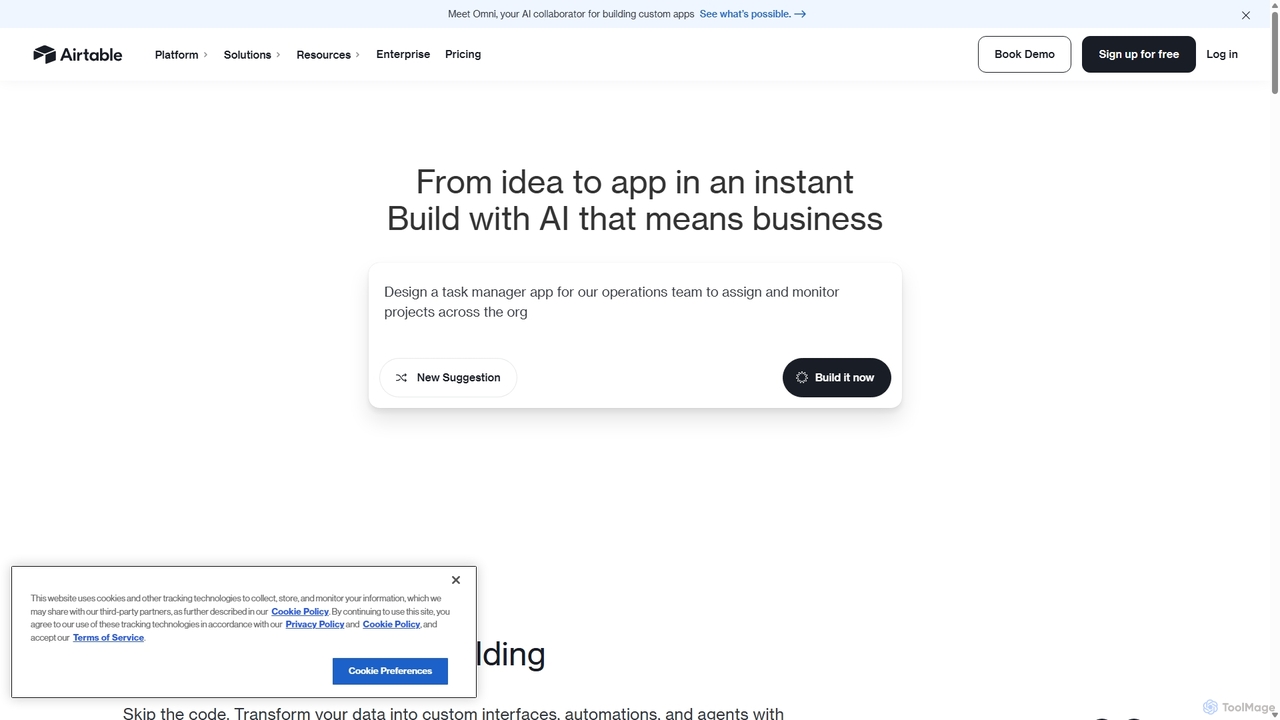
Airtable is an AI-native app building platform for enterprises, combining the flexibility of a spreadsheet with the power of a database. It enables teams to create custom applications, automate complex workflows, and deploy intelligent AI agents without writing code, transforming critical data into actionable insights and streamlined operations.
Project Management
Orbit.ai
Orbit.ai is an AI-powered community growth and intelligence platform. It helps businesses unify community data from various sources, analyze member engagement, automate workflows, and measure the ROI of their community-building efforts. Ideal for developer relations, marketing, and product teams.
3D
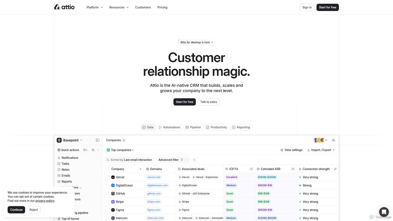
Attio
Attio is a next-generation, AI-native CRM that offers unparalleled flexibility and power. It automatically syncs with your email and calendar to build a dynamic relationship database, enriched with AI-driven insights. Designed for modern GTM teams, Attio helps you automate workflows, manage pipelines, and scale your business with a highly adaptable data model.
Lead Generation
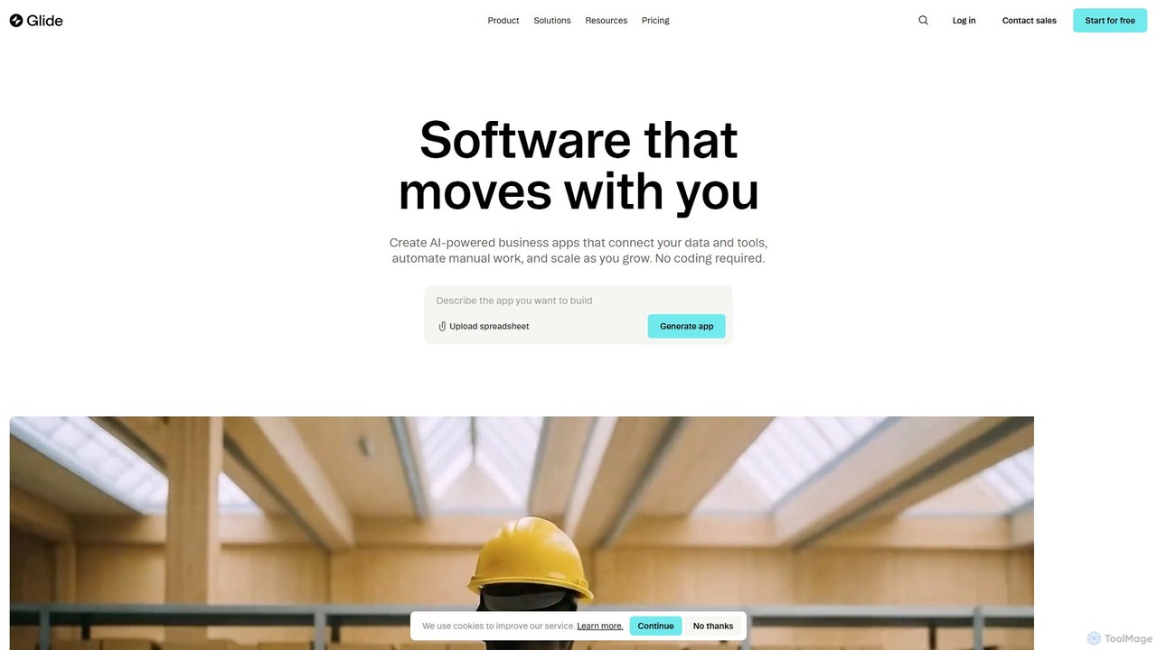
Glide
Glide is a no-code platform that empowers users to build custom, AI-powered business applications from their existing data. Create portals, dashboards, CRMs, and inventory management tools without writing a single line of code, accelerating business operations and processes.
Analytics
GeoSpy
GeoSpy is an advanced AI platform that transforms images into precise, actionable location intelligence. Designed for law enforcement, government agencies, and enterprise organizations, it utilizes state-of-the-art computer vision models to determine geographic locations from images with meter-level accuracy, helping solve cases and gather critical intelligence in seconds.
Geolocation
Bird
Bird is an all-in-one, AI-powered CRM platform that unifies marketing, sales, customer support, and payments. It integrates omnichannel communication channels like Email, SMS, and WhatsApp into a single, intuitive interface, helping businesses automate workflows, gain customer insights, and scale operations efficiently without juggling multiple tools.
Omnichannel