

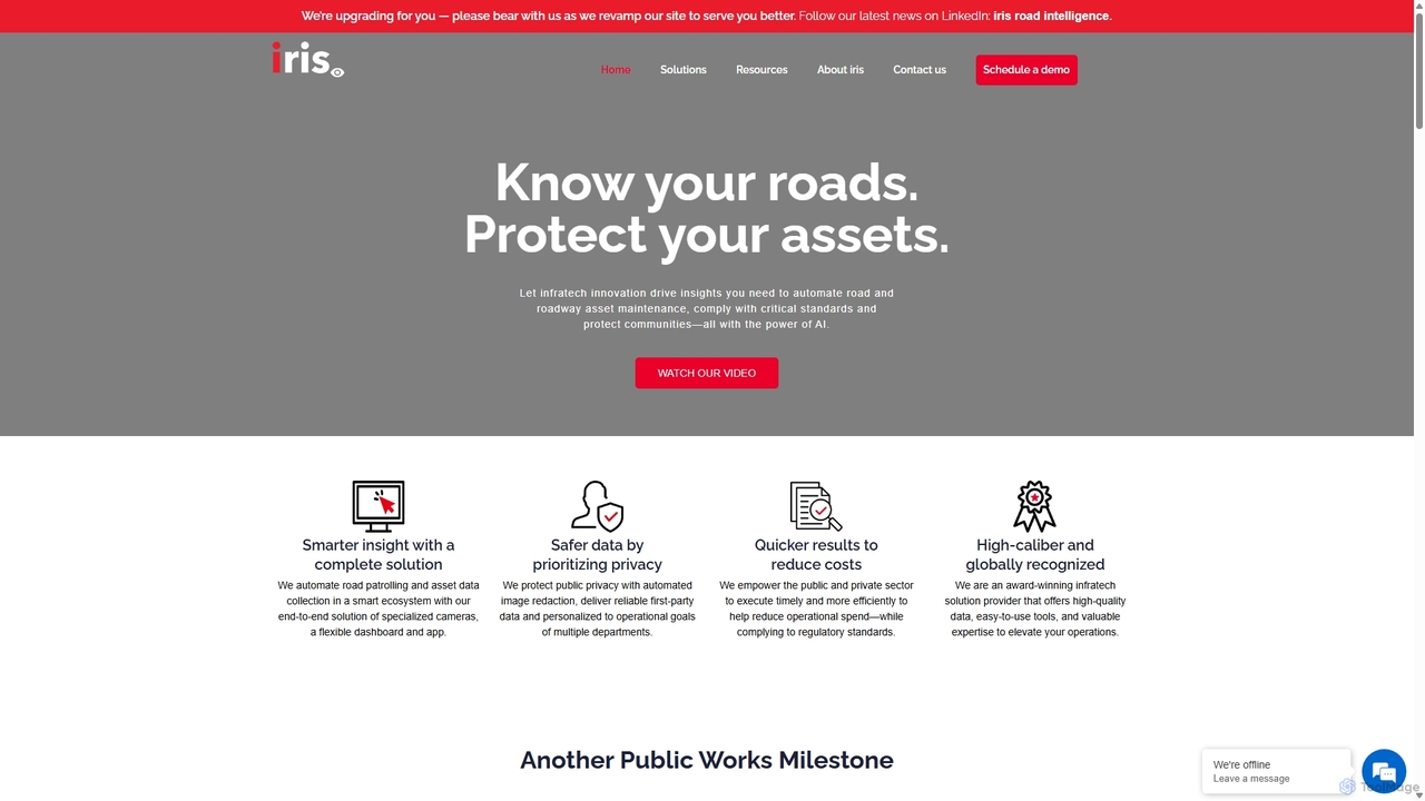
Irisradgroup Overview
Irisradgroup is a globally recognized leader in AI-driven infrastructure technology, offering an end-to-end solution designed to modernize and automate road maintenance and asset management. The platform empowers public sector entities like municipalities and states, as well as private concessionaires, to proactively manage their road networks. By leveraging artificial intelligence and computer vision, Irisradgroup helps extend the life of road infrastructure, improve service levels, ensure prompt compliance with legislation, save costs, and enhance safety for communities.
The core of the system is a smart ecosystem that combines specialized hardware and sophisticated software. It automates the traditionally labor-intensive processes of road patrolling and data collection, transforming raw visual data into actionable insights. This allows organizations to move from a reactive to a proactive maintenance strategy, addressing issues before they become major problems.
How to use Irisradgroup
The workflow is designed for simplicity and efficiency. First, the plug-and-play 'irisGO' camera is installed on fleet vehicles such as patrol cars, buses, or waste trucks. As these vehicles perform their regular routes, the AI-enabled camera automatically captures high-resolution imagery of the road and its surroundings. The collected data is then processed by advanced AI algorithms to identify and categorize various elements. Finally, all insights are visualized on the 'irisCITY' dashboard, a powerful, user-friendly interface. From the dashboard, managers can review detected road defects, access a comprehensive asset inventory, generate reports, create work orders, and integrate the data with their existing Enterprise Resource Planning (ERP) or work order management systems like CityWorks and Cartegraph.
Core Features of Irisradgroup
- Automated Road Patrol: Continuously monitors road surfaces to detect defects such as potholes, cracks, and other distresses. It can also identify over 300 types of damaged or missing roadway assets, including traffic signs, street lights, pavement markings, and even graffiti.
- Pavement Condition Survey: Automatically evaluates the Pavement Condition Index (PCI) for both road and sidewalk pavements. The system identifies and quantifies defects like cracking, rutting, and roughness to provide an objective measure of pavement health.
- Roadway Asset Inventory: Captures and creates a detailed digital inventory of all roadway assets. This includes traffic signs, fire hydrants, and street lights, along with their specific attributes like sign codes, text, dimensions, and precise location.
- AI-Powered Data Dashboard (irisCITY): A centralized platform for data visualization and management. It provides interactive maps, detailed analytics, and customizable reports, allowing for data-driven decision-making.
- Privacy and Security by Design: Protects public privacy through automated image redaction, blurring faces and license plates. It ensures the delivery of reliable, first-party data tailored to operational goals.
- Seamless System Integration: Designed to integrate with existing work order management systems (e.g., CityWorks, Cartegraph) and ERPs, streamlining workflows and eliminating data silos.
Use Cases for Irisradgroup
Irisradgroup is trusted by public and private organizations worldwide. For example, the City of Vaughan, Canada, increased the accuracy of its compliance reporting by 25% and gained precise insights into pothole repair costs. Grey County, Canada, cut its pavement inspection time by more than 50%, freeing up valuable resources. In Greeley, Colorado, the implementation of iris led to a significant drop in service calls from residents, as the city could proactively identify and fix issues, including unique problems like shoes on power lines. These cases demonstrate the platform's ability to enhance operational efficiency, ensure regulatory compliance, and improve public services.
Advantages of Irisradgroup
The primary advantage of Irisradgroup is its ability to deliver smarter insights, safer data, and quicker results. The end-to-end solution provides a complete picture of road network health. By prioritizing privacy with automated redaction, it builds public trust. The system's efficiency empowers organizations to reduce operational spending while meeting or exceeding regulatory standards. As an award-winning, globally recognized provider, Irisradgroup offers not just high-quality data and tools but also valuable expertise to elevate infrastructure management operations.
Pricing and Plans
Irisradgroup offers customized enterprise-level solutions tailored to the specific needs of each client. Pricing information is not publicly available. Interested parties are encouraged to schedule a sales demo through the official website to receive a personalized quote based on their operational scale and requirements.
Traffic
Latest traffic
Status
Monthly traffic trend
- 2025-9: 1.2K
- 2026-1: 1.7K
- 2026-2: 16
- 2026-3: 1.0K
- 2026-4: 815
- 2026-5: 1.3K
Geography
Top 5 countries / regions
- 🇨🇦Canada80.0%
- 🇺🇸United States6.6%
- 🇧🇪Belgium4.9%
- 🇵🇭Philippines4.3%
- 🇬🇧United Kingdom4.2%
Top keywords
| Keyword | Cost per click |
|---|---|
| iris | $1.01 |
| irisgo | $0.46 |
| iris potholes | $0.00 |
| iris rad group | $0.00 |
| irisweb | $1.47 |
Irisradgroup Alternatives
Rekor
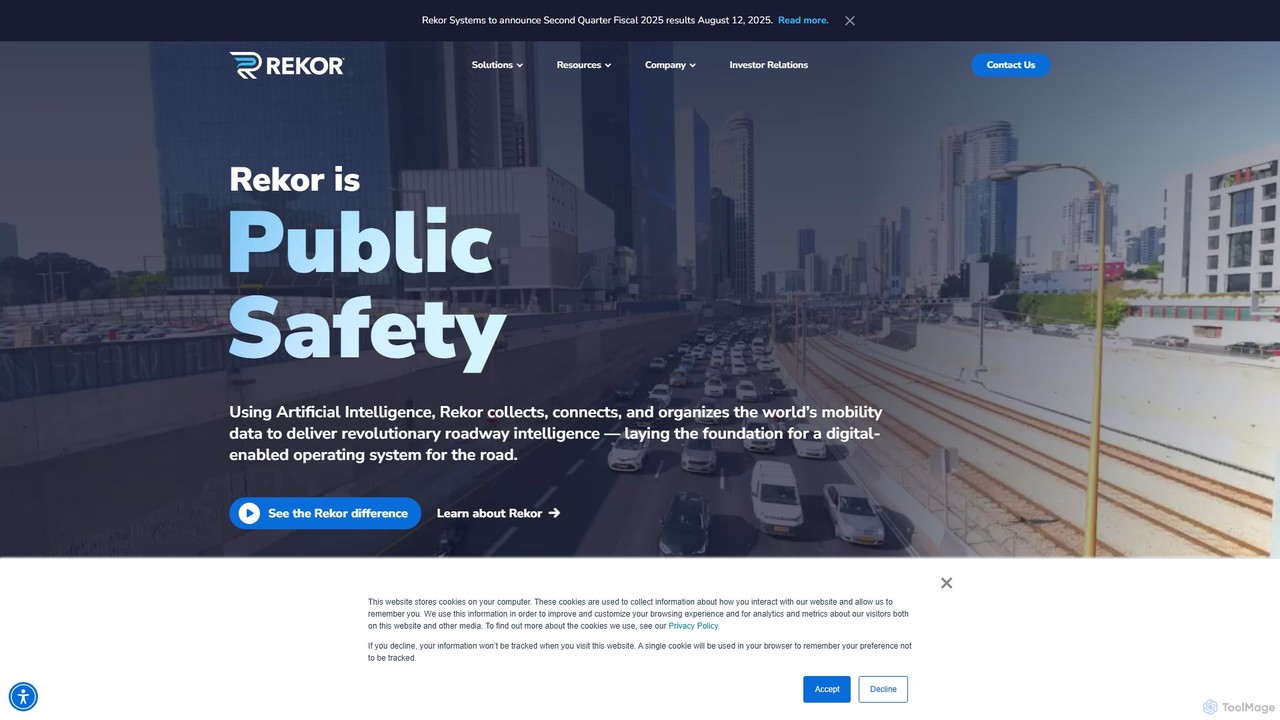
Rekor is an AI-powered roadway intelligence platform that collects, connects, and organizes global mobility data. It provides actionable insights for transportation, government, law enforcement, and commercial sectors to enhance safety, efficiency, and urban planning through advanced computer vision and machine learning.
Image Recognition
Pave Robotics
Pave Robotics offers an autonomous robotic solution, Tracer, for asphalt crack sealing. It uses AI-powered sensing and perception to detect cracks, remove debris, and apply hot pour sealant with sub-millimeter precision, operating 24/7 to save time and labor costs while improving repair quality.
Smart City
Currux Vision
Currux Vision provides autonomous AI systems for smart infrastructure, specializing in intelligent transportation systems (ITS). It leverages existing CCTV cameras to perform real-time traffic monitoring, violation detection, and data analytics. The platform helps cities and government agencies improve traffic flow, enhance safety, and optimize infrastructure management through advanced computer vision and edge computing.
Smart City
Tolemi
Tolemi is a data integration and analytics platform designed for local governments. It consolidates data from various municipal departments into a single, user-friendly interface, providing advanced spatial analytics and actionable insights. This helps cities tackle challenges like urban blight, housing compliance, and resource allocation, enabling data-driven decision-making and proactive governance.
3D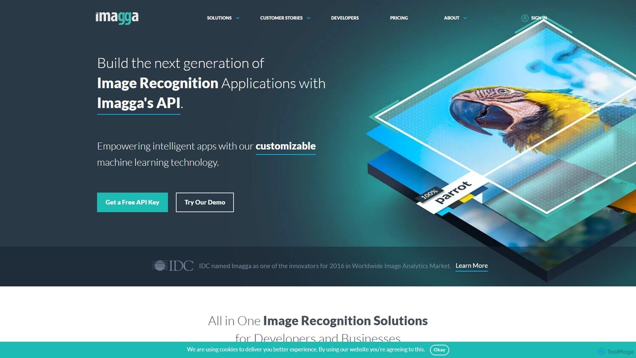
Imagga
Imagga offers a comprehensive suite of image recognition and computer vision AI tools via a powerful API. It enables developers and businesses to implement features like automatic image tagging, visual search, content moderation, facial recognition, and color analysis. Ideal for automating image organization, enhancing product discovery, and ensuring platform safety.
Computer VisionIrisradgroup Categories
Irisradgroup Jobs
Irisradgroup Embed Widget
Copy this embed code to place the badge on your blog, article, or product site and send readers directly to this ToolMage detail page.

Related AI tools
Rekor
Rekor is an AI-powered roadway intelligence platform that collects, connects, and organizes global mobility data. It provides actionable insights for transportation, government, law enforcement, and commercial sectors to enhance safety, efficiency, and urban planning through advanced computer vision and machine learning.
Image RecognitionPave Robotics
Pave Robotics offers an autonomous robotic solution, Tracer, for asphalt crack sealing. It uses AI-powered sensing and perception to detect cracks, remove debris, and apply hot pour sealant with sub-millimeter precision, operating 24/7 to save time and labor costs while improving repair quality.
Smart CityCurrux Vision
Currux Vision provides autonomous AI systems for smart infrastructure, specializing in intelligent transportation systems (ITS). It leverages existing CCTV cameras to perform real-time traffic monitoring, violation detection, and data analytics. The platform helps cities and government agencies improve traffic flow, enhance safety, and optimize infrastructure management through advanced computer vision and edge computing.
Smart CityTolemi
Tolemi is a data integration and analytics platform designed for local governments. It consolidates data from various municipal departments into a single, user-friendly interface, providing advanced spatial analytics and actionable insights. This helps cities tackle challenges like urban blight, housing compliance, and resource allocation, enabling data-driven decision-making and proactive governance.
3D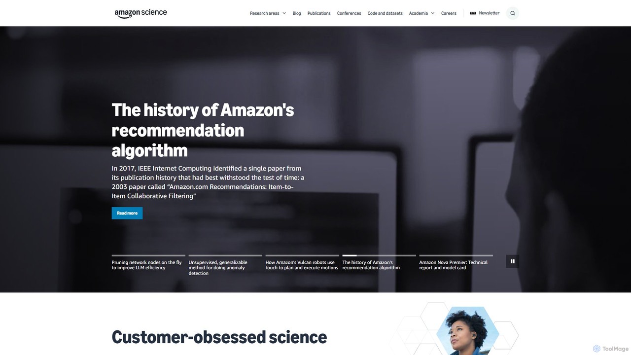
Amazon Science
Amazon Science is the official hub for Amazon's cutting-edge scientific research and innovation. It provides free access to a vast repository of research papers, articles, and news across diverse fields like AI, machine learning, robotics, and computer vision, connecting academia with industry.
Data Science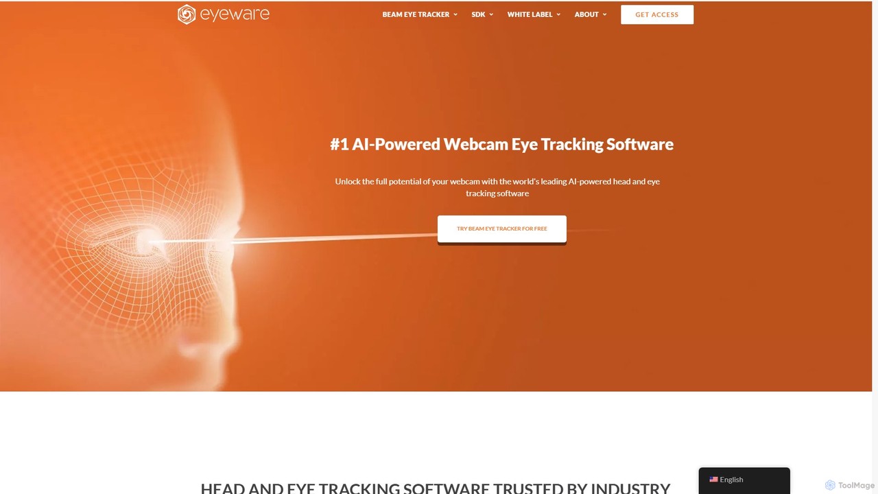
Eyeware
Eyeware provides AI-powered head and eye tracking software that transforms standard webcams into powerful tracking devices. It offers solutions for immersive gaming, enhanced live streaming, productivity, user research, and OEM integration, eliminating the need for specialized hardware.
User Behavior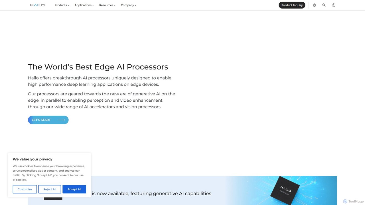
Hailo
Hailo is a leading chipmaker of high-performance AI processors for edge devices. Their solutions, including the Hailo-8 and Hailo-10H accelerators, enable data center-class AI performance and generative AI capabilities directly on edge devices. They focus on exceptional power efficiency, low latency, and cost-effectiveness for sectors like automotive, smart cities, retail, and industrial automation.
Edge Computing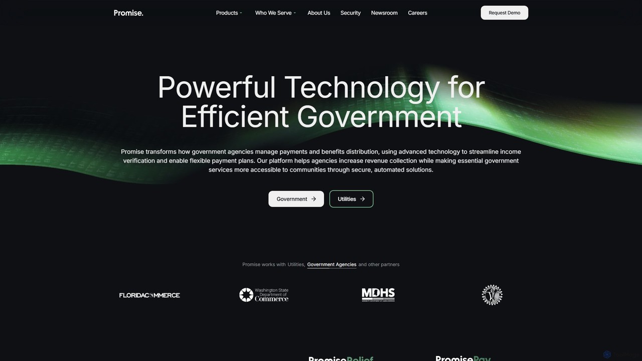
Promise
Promise is an AI-powered platform designed for government agencies and utilities to streamline payment management and benefits distribution. It uses advanced technology to automate income verification, create flexible payment plans, and manage relief programs, helping to recover more revenue while making essential services more accessible to communities.
Payment Processing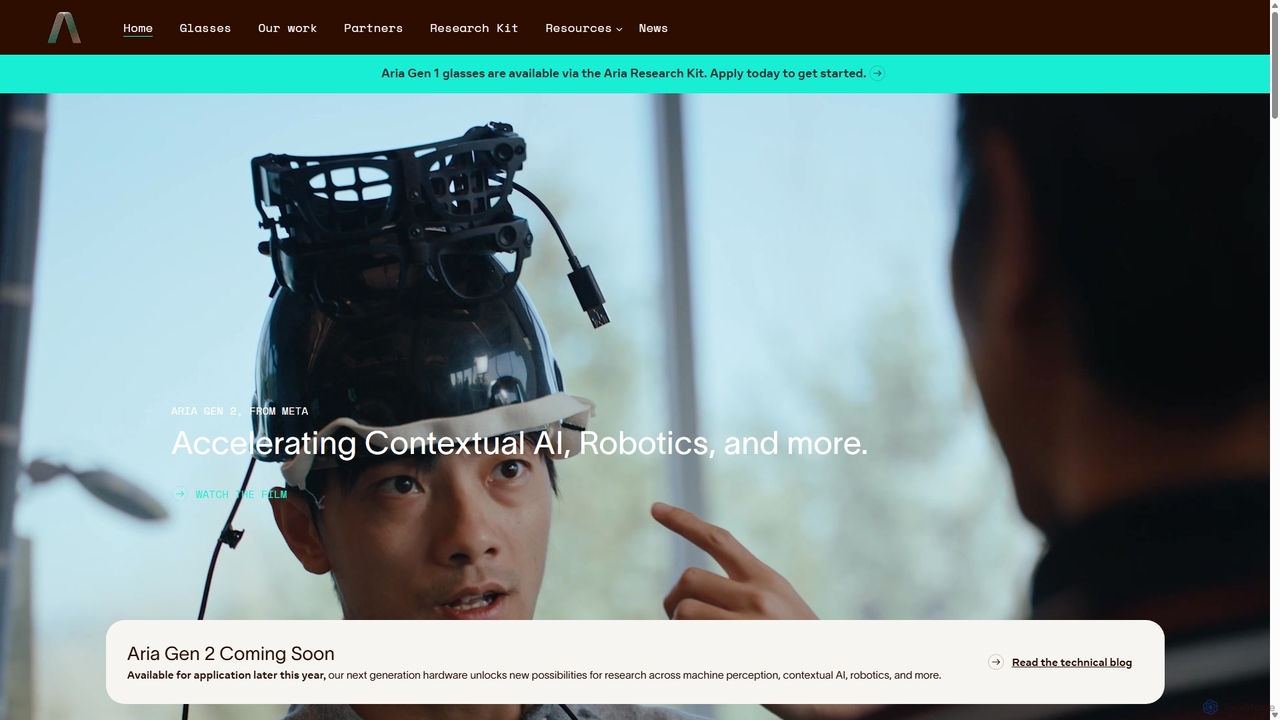
Project Aria
Project Aria is a research initiative by Meta designed to accelerate the development of contextual AI, augmented reality (AR), and robotics. It utilizes advanced research glasses, like the Aria Gen 2, to capture first-person perspective data, providing researchers with a comprehensive platform including hardware, open-source datasets, and development tools to build the future of machine perception.
Datasets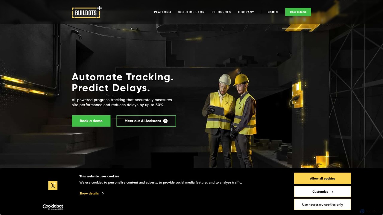
Buildots
Buildots is an AI-powered construction management platform that provides end-to-end visibility and control over projects. By capturing 360° imagery of the construction site and using advanced computer vision to analyze the data against BIM models and schedules, it automates progress tracking, identifies discrepancies, and delivers actionable insights. This helps project teams make data-driven decisions, mitigate risks, and ensure projects are completed on time and within budget.
Construction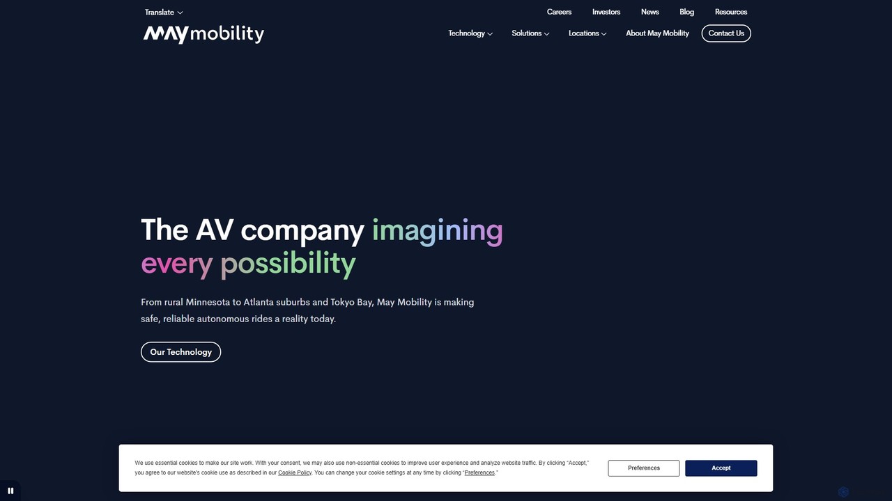
May Mobility
May Mobility is an autonomous vehicle (AV) technology company that develops and deploys self-driving transit solutions. Leveraging its proprietary Multi-Policy Decision Making (MPDM) AI, May Mobility provides safe, accessible, and reliable autonomous rides, partnering with cities, transit agencies, and businesses to solve transportation challenges.
Logistics
Jyek
Jyek is an AI agent platform that understands objectives, creates execution plans, uses tools, and delivers verifiable results for complex, multi-step tasks.
Automation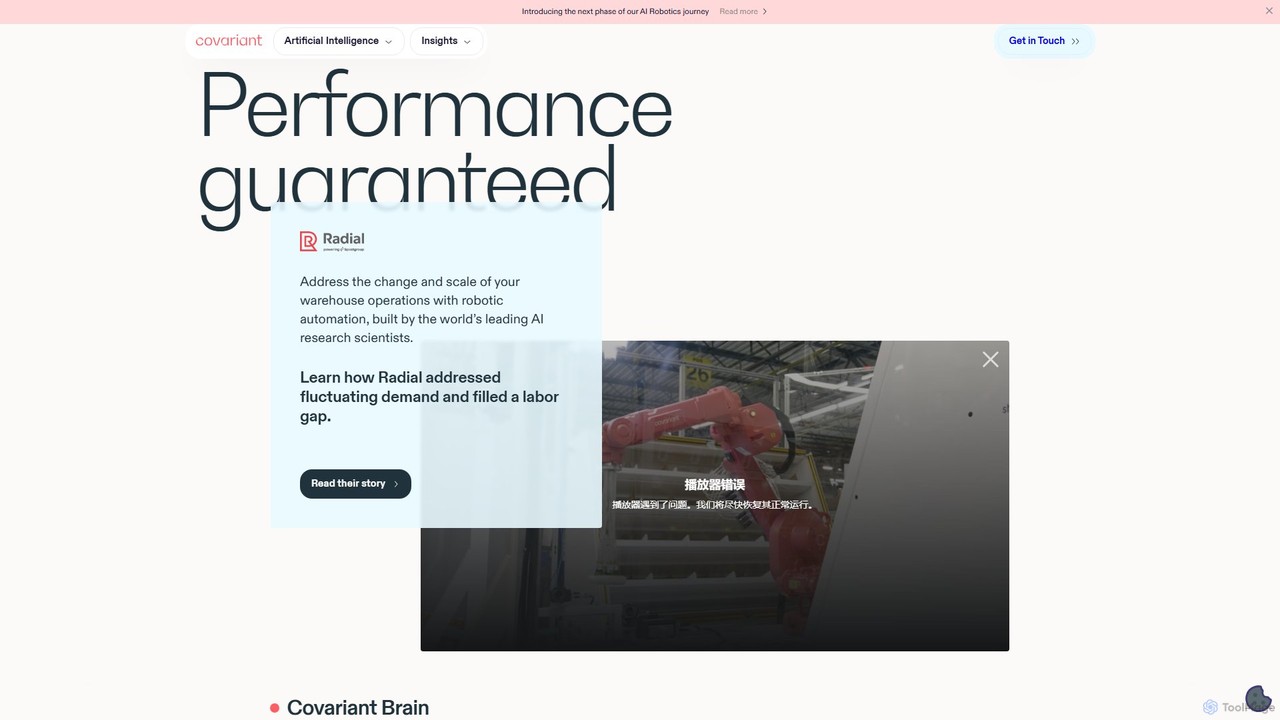
Covariant
Covariant provides an advanced AI robotics platform, the Covariant Brain, designed to automate warehouse operations. Powered by Robotics Foundation Models (RFM-1), it enables robots to perform complex pick-and-place tasks with human-level autonomy. The platform is versatile, handling virtually any item from day one, and continuously improves through fleet learning. It's a solution for e-commerce, logistics, and manufacturing companies looking to address labor shortages, manage fluctuating demand, and scale their automation efforts efficiently.
Logistics Automation
Roboto
Roboto is an advanced analytics engine designed for physical AI and robotics. It empowers robotics teams to organize, search, analyze, and automate workflows on vast amounts of multimodal data, including logs, video, and sensor data. This platform accelerates development, enhances system reliability, and helps uncover critical edge cases before deployment.
Robotics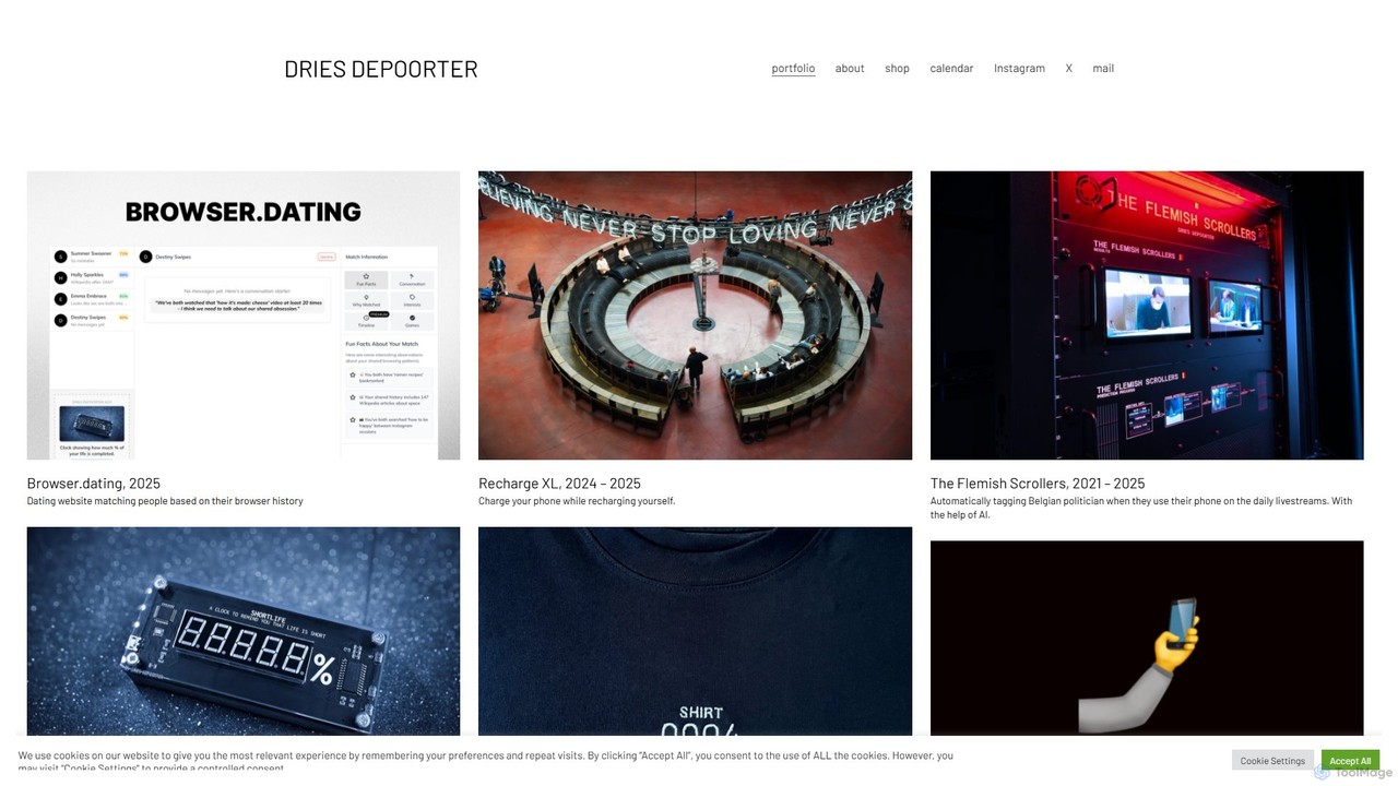
Dries Depoorter
Dries Depoorter is a Belgian technology artist and speaker who explores the themes of privacy, surveillance, and social media through AI-powered installations, apps, and websites. His work critically examines the impact of modern technology on society.
Digital Art
Irisradgroup Comments (0)
Sign in to comment.
Sign inNo comments yet.