ToolMage
Sign in
May Mobility
Logistics · 17.8K monthly visits

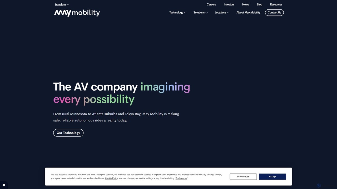
May Mobility is an autonomous vehicle (AV) technology company that develops and deploys self-driving transit solutions. Leveraging its proprietary Multi-Policy Decision Making (MPDM) AI, May Mobility provides safe, accessible, and reliable autonomous rides, partnering with cities, transit agencies, and businesses to solve transportation challenges.

VS
Satlas
Geospatial · 2.1K monthly visits

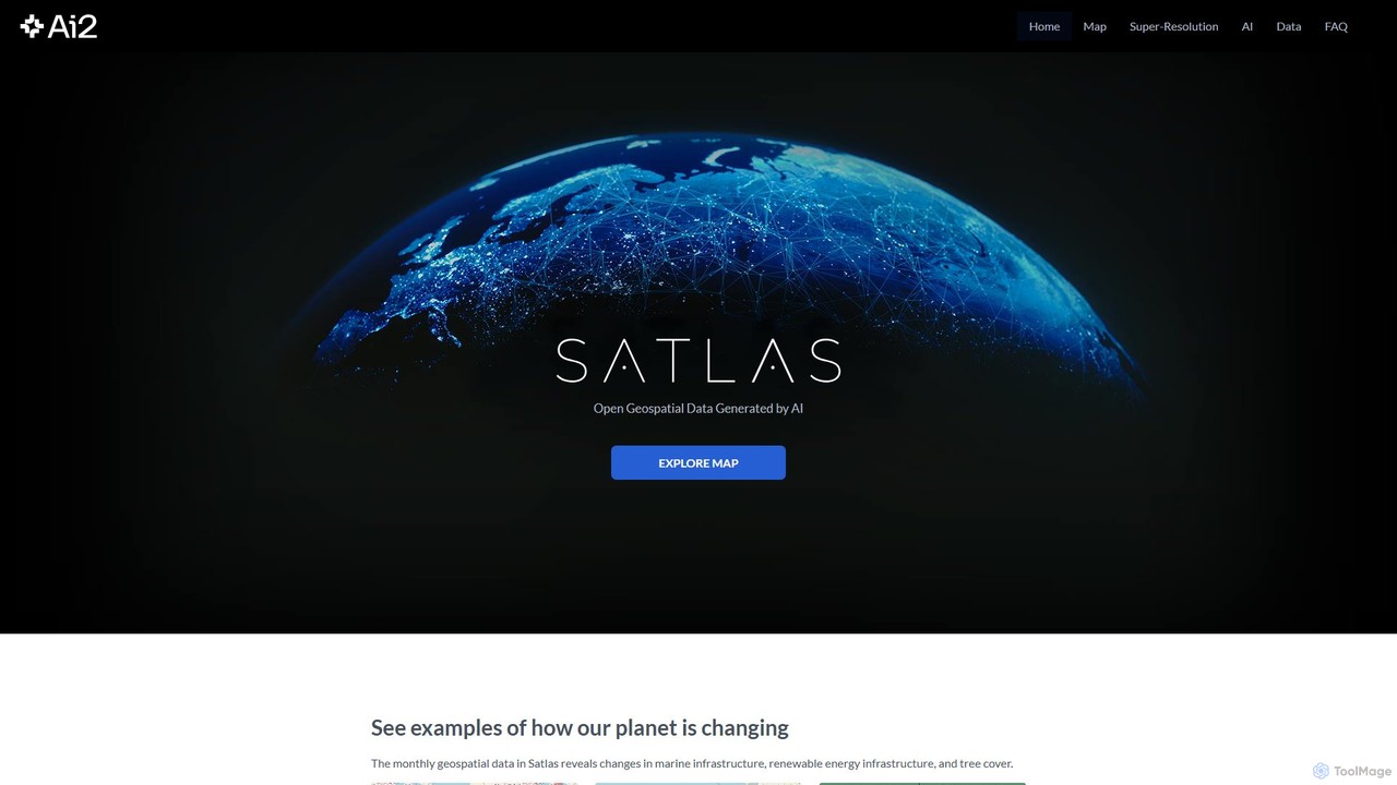
Satlas is an AI-powered platform by the Allen Institute for AI that provides open, high-resolution geospatial data. It uses advanced computer vision models to analyze global satellite imagery, tracking changes in tree cover, renewable energy, and marine infrastructure. Its key feature is Super-Resolution, which enhances low-resolution images for detailed analysis.

May Mobility vs Satlas: pricing, features, traffic, and use cases

Compare May Mobility and Satlas across positioning, pricing, traffic, and user feedback using structured factual data.

Updated Aug 21, 2026

Product overview

May Mobility Product overview

May Mobility is an autonomous vehicle (AV) technology company that develops and deploys self-driving transit solutions. Leveraging its proprietary Multi-Policy Decision Making (MPDM) AI, May Mobility provides safe, accessible, and reliable autonomous rides, partnering with cities, transit agencies, and businesses to solve transportation challenges.
Preview

Satlas Product overview

Satlas is an AI-powered platform by the Allen Institute for AI that provides open, high-resolution geospatial data. It uses advanced computer vision models to analyze global satellite imagery, tracking changes in tree cover, renewable energy, and marine infrastructure. Its key feature is Super-Resolution, which enhances low-resolution images for detailed analysis.

Preview

Detailed feature comparison

FeatureMay MobilitySatlas
Primary categoryLogisticsGeospatial
Added2025-08-042025-08-03
PricingPaidFree
Official websitemaymobility.comsatlas.allen.ai
Product typeWebsiteWebsite
Performance data
User ratingNot verifiedNot verified
Comments00
Monthly visits17.8K2.1K
Monthly growth-7.9%20.1%
Favorites11699
DetailsView detailsView details

May Mobility vs Satlas monthly traffic

Compare May Mobility and Satlas by monthly reach, traffic trend, visit depth, top regions, and acquisition sources.

How to interpret the traffic data

In the May Mobility vs Satlas monthly traffic comparison, May Mobility currently shows 17.8K visits and Satlas shows 2.1K; May Mobility has about 8.3 times the visible traffic of Satlas, an absolute difference of about 15.7K visits. This reflects visible reach, not feature quality or paid users.

Both tools provide verified traffic details, so monthly trends, visit depth, regions, and acquisition sources can be compared on the same basis.

May Mobility monthly traffic:

Latest traffic

Monthly visits
17.8K
Avg. visit duration
0:36
Pages per visit
2.12
Bounce rate
50.9%
Data updated 2026-06-11

Monthly traffic trend

  • 2025/9: 15.2K Monthly visits
  • 2026/1: 12.2K Monthly visits
  • 2026/2: 8.3K Monthly visits
  • 2026/3: 11.5K Monthly visits
  • 2026/4: 19.3K Monthly visits
  • 2026/5: 17.8K Monthly visits

Top regions

Top 5 countries/regions
Country/regionPercentageTraffic
🇺🇸United States91.23%16.2K
🇯🇵Japan5.41%963
🇮🇳India3.36%598

Traffic sources

Source typePercentageTraffic
Direct61.54%11K
Referral35.75%6.4K
Email2.71%482

Search keywords

may mobilitymay mobility careersmay mobility grand rapids minesotaアーリントン市営ライドシェアメイモビリティジャパン

Satlas monthly traffic:

Latest traffic

Monthly visits
2.1K
Avg. visit duration
1:17
Pages per visit
50.16
Bounce rate
76.71%
Data updated 2026-06-15

Monthly traffic trend

  • 2025/9: 1.8K Monthly visits
  • 2026/1: 1.6K Monthly visits
  • 2026/2: 1.5K Monthly visits
  • 2026/3: 2.5K Monthly visits
  • 2026/4: 1.8K Monthly visits
  • 2026/5: 2.1K Monthly visits

Top regions

Top 5 countries/regions
Country/regionPercentageTraffic
🇺🇸United States59.08%1.3K
🇮🇳India12.25%261
🇩🇪Germany11.22%239
🇮🇹Italy9.24%197
🇦🇪United Arab Emirates8.21%175

Traffic sources

Source typePercentageTraffic
Direct66.72%1.4K
Referral33.28%710

Search keywords

alan satelliteallen aisatlassuper resolutionsuper resolution ai
Traffic-based selection guidance: If public market visibility is an important first-pass criterion, investigate May Mobility first. The final choice should still follow taxonomy, use case, and a real trial because higher traffic does not prove broader capabilities or better workflow fit.

Usage comparison

Compare the core capabilities of May Mobility and Satlas

May Mobility Core features

Mapping
Logistics
Artificial Intelligence
Autonomous Vehicles

Satlas Core features

Mapping
Geospatial
Science

Use cases

May Mobility Use cases

AI
autonomous driving
mobility as a service
public transit
reinforcement learning
robotaxi
self-driving cars
smart city
transportation

Satlas Use cases

AI
Allen Institute for AI
climate change
computer vision
data visualization
environmental monitoring
geospatial data
mapping
open data
satellite imagery
super resolution

May Mobility vs Satlas:In-depth comparison and selection guidance

First decide whether the products solve the same kind of need

This in-depth May Mobility vs Satlas comparison uses only the product records, taxonomy, audience, traffic, and community signals available on this page. May Mobility is primarily listed under “Logistics”, while Satlas is primarily listed under “Geospatial”, so the first decision is whether your actual task matches their recorded scope.

The structured fields currently show these decision-relevant differences: Primary category (May Mobility: Logistics; Satlas: Geospatial); Pricing (May Mobility: Paid; Satlas: Free); Monthly visits (May Mobility: 17.8K; Satlas: 2.1K); Monthly growth (May Mobility: -7.9%; Satlas: 20.1%); Favorites (May Mobility: 116; Satlas: 99). These facts are more useful for selection than brand visibility alone.

What market visibility and monthly traffic mean

In the May Mobility vs Satlas monthly traffic comparison, May Mobility currently shows 17.8K visits and Satlas shows 2.1K; May Mobility has about 8.3 times the visible traffic of Satlas, an absolute difference of about 15.7K visits. This reflects visible reach, not feature quality or paid users.

Both tools provide verified traffic details, so monthly trends, visit depth, regions, and acquisition sources can be compared on the same basis.

If public market visibility is an important first-pass criterion, investigate May Mobility first. The final choice should still follow taxonomy, use case, and a real trial because higher traffic does not prove broader capabilities or better workflow fit.

Product positioning, use cases, and roles

May Mobility and Satlas currently overlap in shared categories: Mapping; shared tags: AI. This can place both on the same shortlist, but it does not prove equal implementation, depth, or cost.

May Mobility's unique categories/tags are Logistics, Artificial Intelligence, Autonomous Vehicles, autonomous driving, mobility as a service, public transit, reinforcement learning, and robotaxi; Satlas's are Geospatial, Science, Allen Institute for AI, climate change, computer vision, data visualization, environmental monitoring, and geospatial data. These unique fields are the strongest differentiators: validate the product whose recorded scope matches the task instead of following traffic alone.

What ratings, comments, and favorites can tell you

May Mobility has no verified rating, 0 comments, 116 favorites, and 117 likes;Satlas has no verified rating, 0 comments, 99 favorites, and 101 likes。

Neither product has enough rating or comment samples for a credible reputation ranking.

Selection guidance by actual need

When to evaluate May Mobility first

Put May Mobility on the priority trial list when the task aligns with “Logistics” and especially Logistics, Artificial Intelligence, Autonomous Vehicles, autonomous driving, mobility as a service, and public transit. This follows recorded positioning and does not imply unlisted capabilities are absent.

May Mobility also currently records: pricing is paid, product type is website, 17.8K verified monthly visits, no verified user rating. Verify any hard requirement around price, platform, or reach before trial, and do not let sparse review data substitute for testing.

When to evaluate Satlas first

Put Satlas on the priority trial list when the task aligns with “Geospatial” and especially Geospatial, Science, Allen Institute for AI, climate change, computer vision, and data visualization. This follows recorded positioning and does not imply unlisted capabilities are absent.

Satlas also currently records: pricing is free, product type is website, 2.1K verified monthly visits, no verified user rating. Verify any hard requirement around price, platform, or reach before trial, and do not let sparse review data substitute for testing.

How to validate the recommendation before deciding

The available data describes positioning, public visibility, and community signals, but it cannot prove output quality, speed, integration effort, privacy, or long-term cost in your workflow. Before deciding, run the same representative tasks in May Mobility and Satlas, then record completion time, accuracy, manual corrections, and the real paid threshold. A like-for-like trial turns this comparison into a defensible adoption decision.

Comparison FAQ

How should I choose between May Mobility and Satlas?
Compare positioning, pricing, taxonomy, and traffic maturity, then verify the latest details on each official website.
Where does this comparison data come from?
The factual baseline is derived from product, taxonomy, traffic, and community data. Reviewed editorial conclusions show their source and verification date.
What do unknown fields mean?
Unknown means there is not enough reliable evidence; the page does not fill gaps with assumptions.

Related AI tools

eos
Paid

eos

EOS Data Analytics (eos) is an AI-powered platform providing satellite imagery analysis for various industries. It leverages machine learning to process geospatial data, offering actionable insights for agriculture, forestry, environmental monitoring, and more. The platform helps businesses make data-driven decisions, optimize operations, and mitigate risks through advanced remote sensing technologies.

Agriculture
Visits 1MFavorites 145Likes 141
GULF-EL

GULF-EL

GULF-EL is an innovative AI-driven e-hailing platform revolutionizing passenger transport by integrating electric vehicles, blockchain technology, and cryptocurrency. It aims to create a transparent, secure, and rewarding Web3 ridesharing ecosystem for riders, drivers, and partners.

Smart Mobility
Visits 8.8KFavorites 128Likes 129
Irisradgroup

Irisradgroup

Irisradgroup is an AI-powered infratech solution that automates road and roadway asset maintenance. Using specialized cameras and an intelligent dashboard, it helps municipalities and infrastructure managers monitor road conditions, inventory assets, ensure compliance, and improve public safety efficiently.

Public Sector
Visits 6.3KFavorites 144Likes 139
Work With Data
Freemium

Work With Data

Work With Data is an AI-enhanced platform that makes open data accessible to everyone. It allows users to analyze, visualize, and extract data from diverse open sources, all unified in a single, easy-to-navigate ontology, augmented with unique AI for deeper insights and forecasting.

3D
Visits 5KFavorites 148Likes 144
Flypix
Freemium

Flypix

Flypix is an end-to-end AI platform for geospatial analysis, enabling users to automatically detect, localize, and segment objects in satellite, aerial, and drone imagery. Train custom AI models with no coding required to analyze complex scenes, saving significant time and resources across industries like agriculture, construction, and environmental monitoring.

3D
Visits 135.3KFavorites 124Likes 118
Picterra
Freemium

Picterra

Picterra is a GeoAI platform that enables users to analyze satellite and drone imagery to extract insights. It provides a no-code environment for building and deploying object detection models, empowering industries like agriculture, ESG, and infrastructure with scalable environmental intelligence.

Environmental Social Governance
Visits 4.9KFavorites 109Likes 109
Domo
Freemium

Domo

Domo is an AI-powered cloud platform that integrates all your business data, providing real-time analytics, interactive dashboards, and automated workflows. It empowers users to build data products, create AI agents, and make faster, data-driven decisions across the entire organization.

Business Intelligence
Visits 1.4MFavorites 138Likes 127
MacroMicro
Freemium

MacroMicro

MacroMicro is an AI-powered macro analytics platform for investors and financial analysts. It transforms complex global economic data into intuitive, dynamic charts and actionable insights. Leveraging AI for sentiment analysis on central bank statements and providing over 40,000 charts, it helps users track market cycles, identify trends, and optimize investment strategies across stocks, forex, bonds, and commodities.

Analytics
Visits 739.9KFavorites 115Likes 135
Amazon Science
Free

Amazon Science

Amazon Science is the official hub for Amazon's cutting-edge scientific research and innovation. It provides free access to a vast repository of research papers, articles, and news across diverse fields like AI, machine learning, robotics, and computer vision, connecting academia with industry.

Data Science
Visits 411.9KFavorites 148Likes 145
Graphy
Freemium

Graphy

Graphy is an AI-powered data visualization tool that transforms raw data into beautiful, interactive charts and graphs in seconds. It simplifies data storytelling by automatically identifying key insights, allowing users to chat with their data, and offering extensive customization. Ideal for marketers, analysts, and teams who need to create compelling visual reports and presentations without complex software.

3D
Visits 172KFavorites 121Likes 131
Eyeware
Freemium

Eyeware

Eyeware provides AI-powered head and eye tracking software that transforms standard webcams into powerful tracking devices. It offers solutions for immersive gaming, enhanced live streaming, productivity, user research, and OEM integration, eliminating the need for specialized hardware.

User Behavior
Visits 147.5KFavorites 98Likes 88
Quadratic
Freemium

Quadratic

Quadratic is a powerful AI spreadsheet that integrates a familiar interface with Python, SQL, and natural language prompts. Connect directly to live databases, analyze data, extract information from PDFs, and create visualizations instantly. It's a secure, collaborative platform for data analysts, business professionals, and developers.

Business Intelligence
Visits 122.8KFavorites 112Likes 98
Xmind AI
Freemium

Xmind AI

Xmind AI is an advanced AI-powered mind mapping and brainstorming tool designed to enhance creativity and productivity. It helps users visualize thoughts, organize complex information, and collaborate with teams in real-time. With features like AI-driven idea generation, content summarization, and automated to-do lists, Xmind AI transforms abstract concepts into structured, actionable plans.

Teamwork
Visits 111.2KFavorites 127Likes 120
Project Aria

Project Aria

Project Aria is a research initiative by Meta designed to accelerate the development of contextual AI, augmented reality (AR), and robotics. It utilizes advanced research glasses, like the Aria Gen 2, to capture first-person perspective data, providing researchers with a comprehensive platform including hardware, open-source datasets, and development tools to build the future of machine perception.

Datasets
Visits 40.6KFavorites 110Likes 105
Feishu Base
Freemium

Feishu Base

Feishu Base is an AI-powered no-code platform that combines the flexibility of a spreadsheet with the power of a database. It enables teams to build custom business systems, automate workflows, and analyze data through intuitive dashboards without writing any code. It's designed for seamless collaboration and data management.

Data Analysis
Visits 39.1KFavorites 84Likes 89